TMB - Tour du Mont Blanc
Description
- Name TMB - Tour du Mont Blanc
- Length of trail 170 km, 106 miles
- Length in days 11 days
- Start of trail Les Houches
- End of trail Les Houches
- Traildino grading SW, Strenuous walk, mountain trail
- Hut tour grading T2, Mountain walk
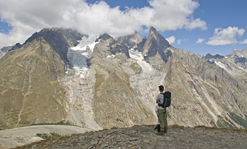
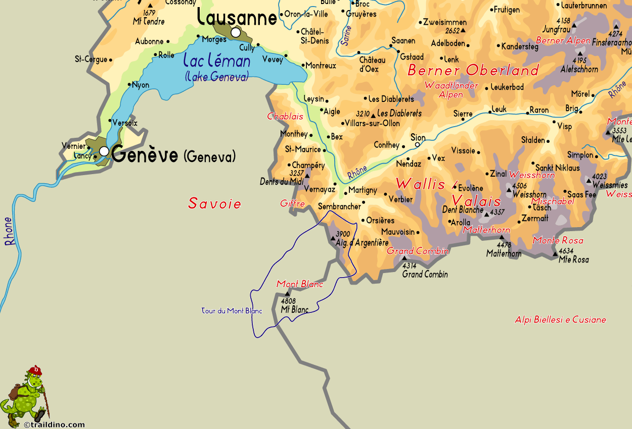
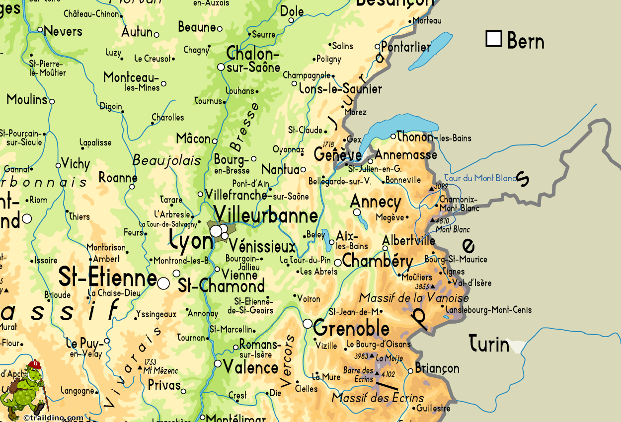
The Tour du Mont Blanc (TMB) is one of the most famous hiking trails, which attracts tens of thousands hikers every year. It's not a difficult route. But if you want to complete the 170 km and 8.000 meters of height difference, your condition must be good. Most people need 7 to 12 days. The tour around Europe's highest mountain, crossing France, Italy and Switzerland, will be even more rewarding if you pick out the many variants to the official path, often higher and more strenuous, but wilder and more quiet.
Most walkers start in Les Houches, France, (train) and walk anti-clockwise. From mid july till the end of august it is very busy on the trail, and huts are overcrowded. You must make reservations in advance. September is better, but most huts close in the middle of that month.
There is plenty of information on the internet, and many guide-books will help you on the trail.
Map
Links
Facts
Reports
Guides and maps
Lodging
Organisations
Tour operators
GPS
Other
Books

United Kingdom
2019
- Haute-Savoie a Pied - 54 circuits dont 8 adaptés à la marche nordique
- But don`t be fooled: if Haute-Savoie is home to the Mecca of mountaineering, it is also a hiker`s paradise! Beyond the GR® trails (the prestigious GR® 5 and GR® Tour du Mont Blanc), discover the diversity of the landscapes of a department with dynamic demography and economy. Pure lake waters, freshness of deep forests, distant horizons of... Read more

United Kingdom
2019
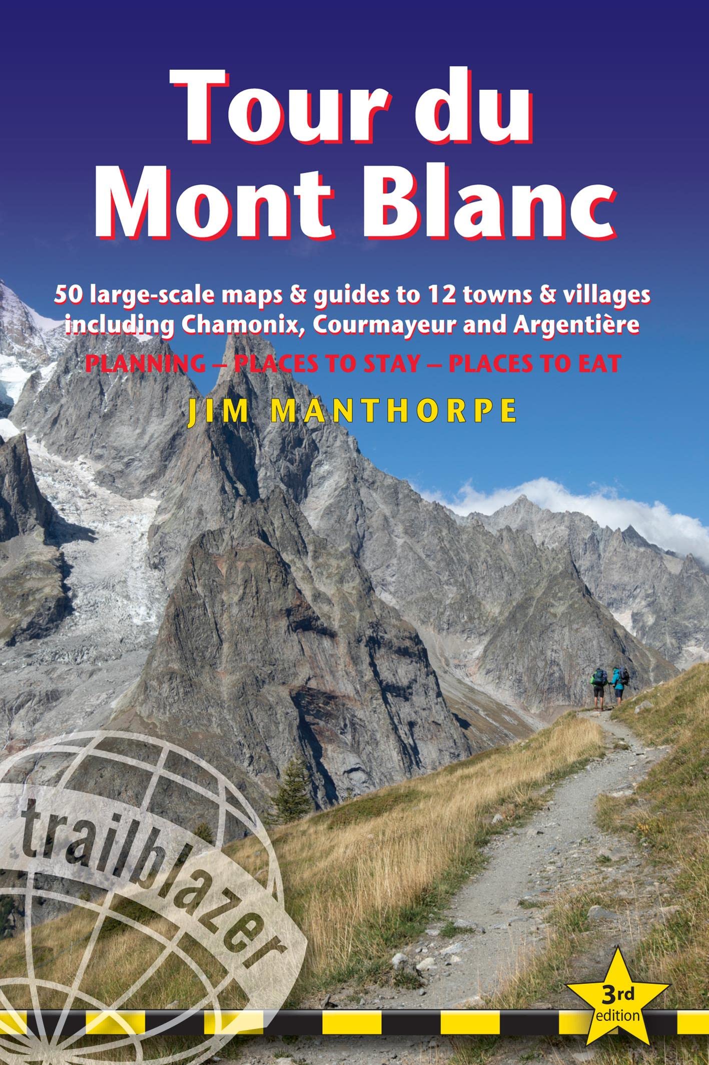
- Tour du Mont Blanc: The World`s most famous trek - everything you need to know to plan and walk it
- The world`s most famous trek: everything you need to know to plan and walk the Tour du Mont Blanc which starts near Chamonix. An epic journey around the mighty Mont Blanc, the highest peak in the Alps. 174km; 7-12 days; 9700m of altitude gain; 14 mountain passes; 3 countries, France, Italy and Switzerland. Unspoilt and remote high mountain... Read more
- Also available from:
- The Book Depository, United Kingdom
- De Zwerver, Netherlands

United Kingdom
2019
- Tour du Mont Blanc
- The World's most famous trek - everything you need to know to plan and walk it Read more
Netherlands
2019
- Wandelgids Tour Du Mont Blanc | Knife Edge Outdoor
- The World's most famous trek - everything you need to know to plan and walk it Read more

United Kingdom
2020
- Tour du Mont Blanc: The most iconic long-distance, circular trail in the Alps with customised itinerary planning for walkers, trekkers, fastpackers and trail runners
- Tour du Mont Blanc is the definitive guidebook for one of the most famous long-distance treks in the world. This trek circles the entire Mont Blanc massif, passing through spectacular scenery in France, Italy and Switzerland. You`ll traverse high mountain passes, see stunning glaciers, pass azure lakes, wander through tranquil green valleys and... Read more
- Also available from:
- The Book Depository, United Kingdom
- De Zwerver, Netherlands

United Kingdom
2020
- Tour du Mont Blanc
- The most iconic long-distance, circular trail in the Alps with customised itinerary planning for walkers, trekkers, fastpackers and trail runners Read more
Netherlands
2020
- Wandelgids Tour du Mont Blanc | Vertebrate Publishing
- The most iconic long-distance, circular trail in the Alps with customised itinerary planning for walkers, trekkers, fastpackers and trail runners Read more

United Kingdom
2020
- Tour du Mont Blanc - Easy-to-use Folding Map and Essential Information
- The white dome of Mont Blanc looms over France, Italy and Switzerland, and it is no wonder that the 169-kilometre Tour du Mont Blanc (TMB) has captured the public imagination to become one of Europe`s most popular long-distance trails. The TMB appeals to people who have different levels of experience and travel at all speeds, and this... Read more
- Also available from:
- The Book Depository, United Kingdom
- De Zwerver, Netherlands

United Kingdom
2020
- Tour du Mont Blanc
- Easy-to-use folding map and essential information, with custom itinerary planning for walkers, trekkers, fastpackers and trail runners Read more
Netherlands
2020
- Wandelkaart Tour du Mont Blanc Guidemap | Vertebrate Publishing
- Easy-to-use folding map and essential information, with custom itinerary planning for walkers, trekkers, fast packers and trail runners Read more

United Kingdom
2011
- Alps Trekking
- An inspirational walking guide to 20 summer treks in the European Alps in Italy, Austria, Switzerland, France and Slovenia, by 8 Alpine trekking experts, including the classics such as the Tour of Mont Blanc and lesser-known routes like the Traverse of the Slovenian Alps. All the rich scenic diversity for which the Alps are renowned is... Read more
- Also available from:
- The Book Depository, United Kingdom
- Bol.com, Netherlands
- Bol.com, Belgium
- De Zwerver, Netherlands

United Kingdom
2011
- Trekking in the Alps
- An inspirational guidebook to 20 classic treks in the Alps. As well as introducing new hiking areas in the Alps, classics such as the Tour of Mont Blanc, and Chamonix to Zermatt are included. Trekking in the Alps is immensely satisfying, and this book celebrates the rich and scenic diversity for which this great mountain range is renowned. Read more
Netherlands
2011
- Trekking in the Alps
- An inspirational guide to the delights of Alpine multi-day hikes. With 20 hikes described, including classics such as the Tour of Mont Blanc and the Tour of the Vanoise as well as new multi-day routes like the Traverse of the Slovenian Alps, this guide celebrates the rich scenic diversity for which the Alps are renowned.The eight talented... Read more

Belgium
2011
- Trekking in the Alps
- An inspirational guide to the delights of Alpine multi-day hikes. With 20 hikes described, including classics such as the Tour of Mont Blanc and the Tour of the Vanoise as well as new multi-day routes like the Traverse of the Slovenian Alps, this guide celebrates the rich scenic diversity for which the Alps are renowned.The eight talented... Read more
Netherlands
2019
- Wandelgids Trekking in the Alps | Cicerone
- An inspirational guidebook to 20 classic treks in the Alps. As well as introducing new hiking areas in the Alps, classics such as the Tour of Mont Blanc, and Chamonix to Zermatt are included. Trekking in the Alps is immensely satisfying, and this book celebrates the rich and scenic diversity for which this great mountain range is renowned. Read more
Netherlands
- Walking Distance
- Long-distance walking is good for you and good for the earth... But most of all, walking is a joyful celebration of life and the diverse, beautiful, and curious world in which we live. -from the Introduction Walking is simple, but it can also be profound. In an increasingly complex and frantic world, walking can simplify our lives. It... Read more
- Also available from:
- Bol.com, Belgium

Belgium
- Walking Distance
- Long-distance walking is good for you and good for the earth... But most of all, walking is a joyful celebration of life and the diverse, beautiful, and curious world in which we live. -from the Introduction Walking is simple, but it can also be profound. In an increasingly complex and frantic world, walking can simplify our lives. It... Read more

Netherlands
- A Tour of Mont Blanc
- Mont Blanc, or "Il Bianco' as it is sometimes known as in Italy; The White One. It sits, regally, upon pleated glacial folds gathered together around a timeless, grey-rock body, high above the French town of Chamonix, lord of all that it surveys. It beguiles, bewitches and charms the lesser folk who seek to frolic and play amongst the... Read more
- Also available from:
- Bol.com, Belgium

Belgium
- A Tour of Mont Blanc
- Mont Blanc, or "Il Bianco' as it is sometimes known as in Italy; The White One. It sits, regally, upon pleated glacial folds gathered together around a timeless, grey-rock body, high above the French town of Chamonix, lord of all that it surveys. It beguiles, bewitches and charms the lesser folk who seek to frolic and play amongst the... Read more

United Kingdom
2018
- The Mountain Hut Book
- An introduction to mountain huts and refuges for walkers and trekkers. Informative and entertaining, this book explores the mountain hut experience, from how huts have developed to modern-day hut etiquette. With profiles of the author's top picks, and the best hut-to-hut routes in the Alps and Pyrenees. Read more
- Also available from:
- Bol.com, Netherlands
- Bol.com, Belgium
- De Zwerver, Netherlands

Netherlands
2018
- The Mountain Hut Book
- This book is a celebration of mountain huts, showcasing the the sheer variety and sometimes quirky nature of these buildings that allow walkers, trekkers and climbers to access remote corners of the mountains. Packed with entertaining stories that bring the places and people to life, it contains descriptions of the author's favourite huts in... Read more

Belgium
2018
- The Mountain Hut Book
- This book is a celebration of mountain huts, showcasing the the sheer variety and sometimes quirky nature of these buildings that allow walkers, trekkers and climbers to access remote corners of the mountains. Packed with entertaining stories that bring the places and people to life, it contains descriptions of the author's favourite huts in... Read more
Netherlands
2018
- Wandelgids - Reisgids The Mountain Hut Book | Cicerone
- An introduction to mountain huts and refuges for walkers and trekkers. Informative and entertaining, this book explores the mountain hut experience, from how huts have developed to modern-day hut etiquette. With profiles of the author's top picks, and the best hut-to-hut routes in the Alps and Pyrenees. Read more
Netherlands
- Explore the Tour of Mont Blanc
- The Tour of Mont Blanc is Europe's most popular long-distance walk, encircling the highest mountain in the Alps (and arguably in the continent). This classic alpine route runs for 170 km (106 miles) and can be completed in 11 days. You walk through France, Italy and Switzerland, overnighting in alpine refuges. Although the route ascends and... Read more
- Also available from:
- Bol.com, Belgium

Belgium
- Explore the Tour of Mont Blanc
- The Tour of Mont Blanc is Europe's most popular long-distance walk, encircling the highest mountain in the Alps (and arguably in the continent). This classic alpine route runs for 170 km (106 miles) and can be completed in 11 days. You walk through France, Italy and Switzerland, overnighting in alpine refuges. Although the route ascends and... Read more
Netherlands
2020
- Wandelgids 64 Mont Blanc (Duits) | Rother Bergverlag
- Uitstekende wandelgids met een groot aantal dagtochten in dal en hooggebergte. Met praktische informatie en beperkt kaartmateriaal! Wandelingen in verschillende zwaarte weergegeven in rood/blauw/zwart. 136 Seiten mit 58 Farbabbildungen 49 Wanderkärtchen im Maßstab 1:50.000, eine Übersichtskarte im Maßstab 1:460.000 Mont Blanc – wer diesen Namen... Read more
Netherlands
2017
- Wandelgids Huttentochten - Hüttentrekking Westalpen Frankreich - Italien Band 3 | Rother Bergverlag
- Wild und urtümlich, so präsentiert sich das westliche Drittel des Alpenbogens. Viele Ortschaften dort sind stark von Abwanderung betroffen, sodass man nicht selten auf Geisterdörfer trifft, in denen nur noch ein paar Alte leben. Weitwanderrouten wie der GR 5 und die GTA, die Grande Traversata delle Alpi, spannende Höhenwege über aussichtsreiche... Read more
Maps

United Kingdom
- Massif du Mont Blanc IGN Wall Map
- Massif du Mont Blanc presented on an encapsulated waterproof wall map, size 100 x 131cm (39.5” x 51.5”approx), with cartography of IGN’s excellent TOP25 series reduced slightly to 1:28,000, plus an additional enlargement for the glaciers between the Aiguille du Midi and the peak of Mont Blanc. The map combines sections from the two TOP25 Mont... Read more

United Kingdom
- Chamonix-Mont-Blanc - Massif du Mont-Blanc IGN 3630OT
- Map No. 3630OT, Chamonix - Massif du Mont Blanc area of the French Alps, single-sided version on paper in the TOP25 edition of IGN’s excellent, detailed topographic survey of France at 1:25,000, with an overprint highlighting hiking paths, long-distance GR routes, campsites and other tourist information, plus a GPS compatible UTM grid. The map... Read more

United Kingdom
2020
- Trekking the Tour of Mont Blanc: Complete two-way hiking guidebook and map booklet
- The Tour of Mont Blanc is one of the world`s classic treks. This guidebook to hiking the 170km TMB contains in-depth route description and mapping for both the classic 11 day anti-clockwise circuit and an alternative 10 day clockwise circuit. This well-signed but demanding route, starting from Les Houches or Champex, is suitable for fit... Read more
- Also available from:
- The Book Depository, United Kingdom
- De Zwerver, Netherlands

United Kingdom
2020
- Trekking the Tour of Mont Blanc
- Complete two-way hiking guidebook and map booklet Read more
Netherlands
2020
- Wandelgids Tour of Mont Blanc | Cicerone
- The Tour of Mont Blanc is one of the world`s classic treks. This guidebook to hiking the 170km TMB contains in-depth route description and mapping for both the classic 11 day anti-clockwise circuit and an alternative 10 day clockwise circuit. This well-signed but demanding route, starting from Les Houches or Champex, is suitable for fit... Read more

United Kingdom
2012
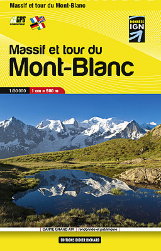
- Mont Blanc Pocket Map Edition Didier Richard
- Mont Blanc Mini Map at 1:50,000 from Editions Didier Richard covering the whole of the Tour of Mont Blanc (TMB) on a double-sided, contoured, GPS compatible hiking map from with both local hiking paths and other long-distance GR routes. The base map, derived from IGN’s topographic survey, has contours at 50m intervals enhanced by shading and... Read more
- Also available from:
- De Zwerver, Netherlands
Netherlands
2012
- Wandelkaart Massif et tour du Mont-Blanc | Didier Richard
- Mont Blanc Mini Map at 1:50,000 from Editions Didier Richard covering the whole of the Tour of Mont Blanc (TMB) on a double-sided, contoured, GPS compatible hiking map from with both local hiking paths and other long-distance GR routes. The base map, derived from IGN Read more

United Kingdom
2018
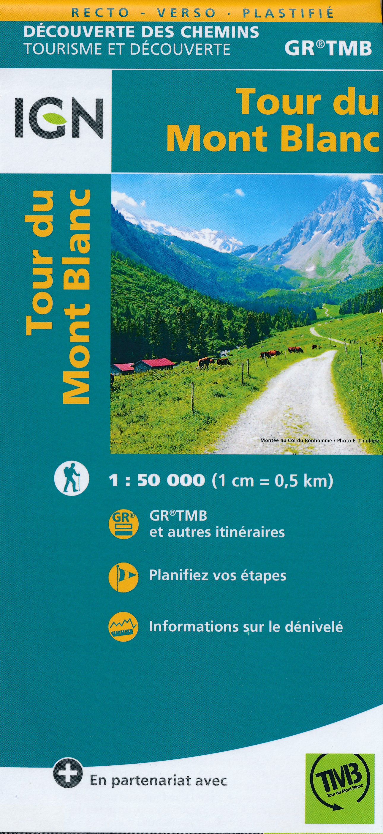
- Tour du Mont-Blanc IGN 89025
- Goede, handzame, tweezijdig bedrukte kaart van de Tour du Mont Blanc Tour (TMB) met hoogte profielen en ingetekende route. 3 landen: Frankrijk, Italië en Zwitserland totale lengte 170 kilometer Inclusief 10.000 meter hoogteverschil Schaal 1: 50.000 (1 cm = 500 m) Een onmisbare hulp bij de voorbereiding van de route: de etappen, accommodaties,... Read more
- Also available from:
- De Zwerver, Netherlands
Netherlands
2018
- Wandelkaart Tour du Mont Blanc | IGN - Institut Géographique National
- Goede, handzame, tweezijdig bedrukte kaart van de Tour du Mont Blanc Tour (TMB) met hoogte profielen en ingetekende route. 3 landen: Frankrijk, Italië en Zwitserland totale lengte 170 kilometer Inclusief 10.000 meter hoogteverschil Schaal 1: 50.000 (1 cm = 500 m) Een onmisbare hulp bij de voorbereiding van de route: de etappen, accommodaties,... Read more

United Kingdom
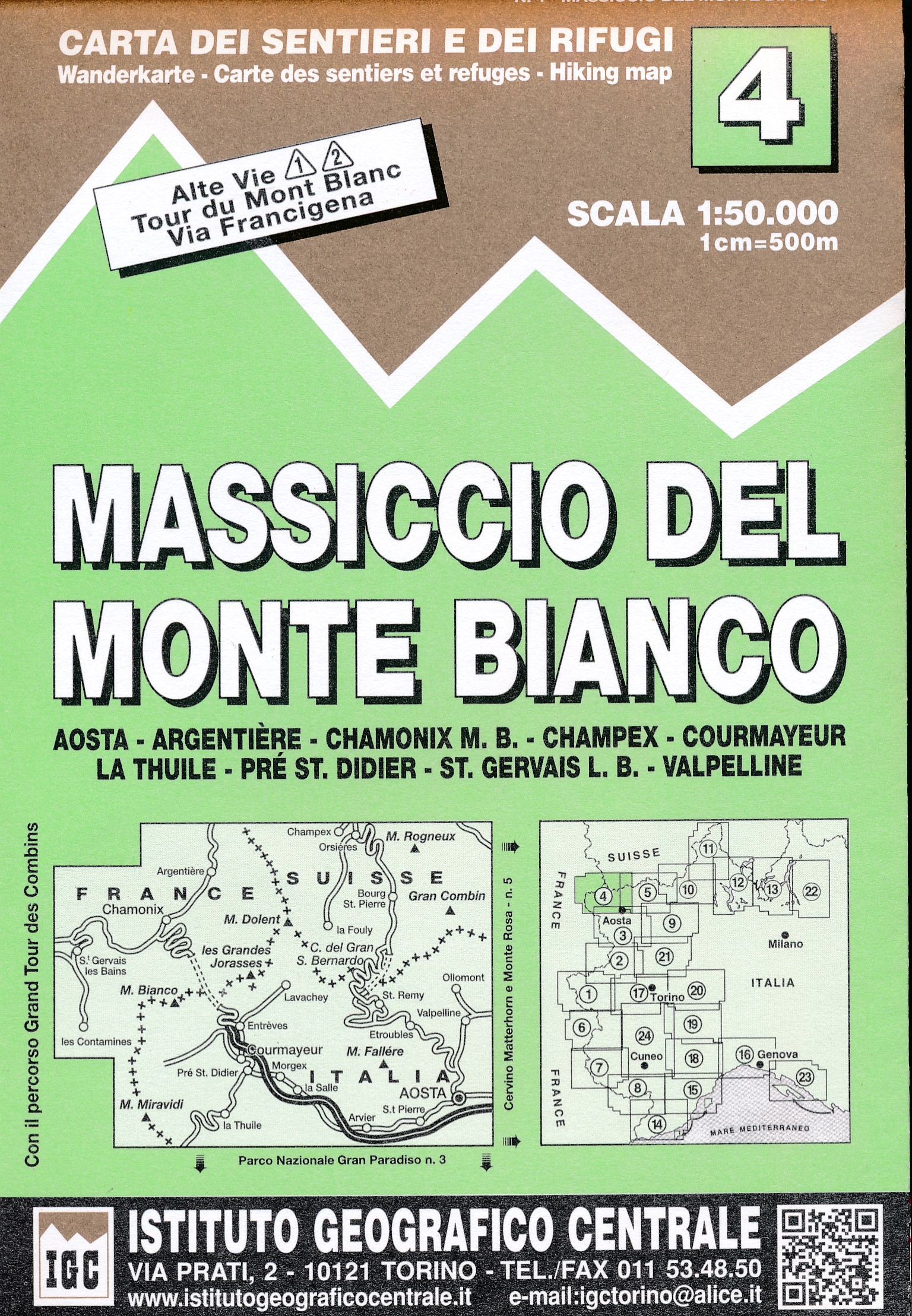
- Mont Blanc Massif IGC 4
- The Mont Blanc Massif in a series contoured hiking maps at 1:50,000 with local trails, long-distance footpaths, mountain accommodation, etc, from the Turin based Istituto Geografico Centrale. The map highlights, among other routes, the Alta Via 1 and the northern section of the Alta Via 2, both of which join up with TMB, as well as the local... Read more
- Also available from:
- De Zwerver, Netherlands
Netherlands
- Wandelkaart 04 Massiccio del Monte Bianco | IGC - Istituto Geografico Centrale
- The Mont Blanc Massif in a series contoured hiking maps at 1:50,000 with local trails, long-distance footpaths, mountain accommodation, etc, from the Turin based Istituto Geografico Centrale. This new edition published in late 2013 highlights, among other routes, the Alta Via 1 and the northern section of the Alta Via 2, both of which join up... Read more
Netherlands
- Mont Blanc/Monte Bianco WK85
- reiß- und wetterfestNieuwe editie, met handige app! Deze Kompass wandelkaart, schaal 1:50 000, is ideaal om uw route uit te stippelen en om onderweg te gebruiken • naast de bekende bestemmingen, worden ook de minder bekende vermeld • openbaar vervoer bij begin- of eindpunt van een route aangegeven • eenvoudige wandelingen tot pittige... Read more
- Also available from:
- Bol.com, Belgium

Belgium
- Mont Blanc/Monte Bianco WK85
- reiß- und wetterfestNieuwe editie, met handige app! Deze Kompass wandelkaart, schaal 1:50 000, is ideaal om uw route uit te stippelen en om onderweg te gebruiken • naast de bekende bestemmingen, worden ook de minder bekende vermeld • openbaar vervoer bij begin- of eindpunt van een route aangegeven • eenvoudige wandelingen tot pittige... Read more

United Kingdom
2015
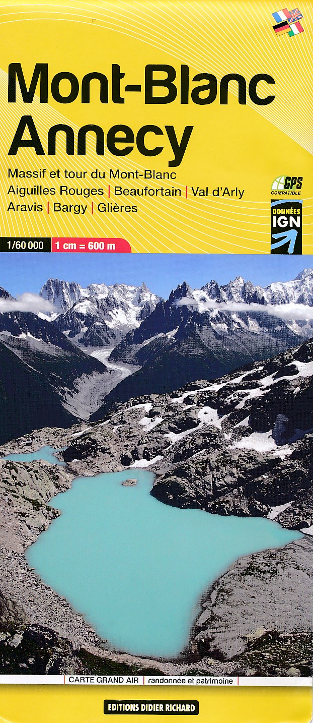
- Mont-Blanc - Annecy Didier Richard 02
- Mont Blanc Massif and the adjoining region of the French Alps at 1:60,000 on a contoured and GPS compatible map from Didier Richard with a base derived from IGN’s topographic survey, highlighting both local hiking routes and the GR network of long-distance paths, gîtes and mountain refuges, interesting natural and cultural sites, etc. The map... Read more
- Also available from:
- De Zwerver, Netherlands
Netherlands
2015
- Wandelkaart 02 Mont Blanc - Aiguilles Rouges - Aravis - Val d'Arly | Didier Richard
- Mont Blanc Massif and the adjoining region of the French Alps at 1:60,000 on a contoured and GPS compatible map from Didier Richard with a base derived from IGN Read more

United Kingdom
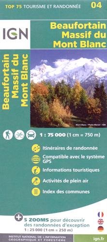
- Beaufortain - Massif du Mont Blanc IGN 75004
- Massif du Mont Blanc – Beaufortain region in a series of GPS compatible, contoured TOP 75 maps at 1:75,000 from the IGN, highlighting local and long-distance hiking paths, cycling routes and sites for other recreational activities. In this revised 2015 edition the main 75K map now covers the whole of the Tour of Mont Blanc (TMB) including its... Read more
- Also available from:
- De Zwerver, Netherlands
Netherlands
- Wandelkaart - Fietskaart 04 Beaufortain - Massif du Mont Blanc | IGN - Institut Géographique National
- Une carte générale de très grande lisibilité au 1/75 000 + 5 extraits de TOP25 au 1/25 000 en une seule carte ! Read more
Netherlands
- Chamonix Bike Book
- The Chamonix Bike Book is the only book that shows bikers the best places to ride on this side of the Mont Blanc Massif today. There are mellow cruises and savage climbs, high-octane singletrack and punishing downhills. There is flowy, techy, exhausting, panoramic, windy, foresty, gentle and there's muddy - actually, the only thing these rides... Read more
- Also available from:
- Bol.com, Belgium

Belgium
- Chamonix Bike Book
- The Chamonix Bike Book is the only book that shows bikers the best places to ride on this side of the Mont Blanc Massif today. There are mellow cruises and savage climbs, high-octane singletrack and punishing downhills. There is flowy, techy, exhausting, panoramic, windy, foresty, gentle and there's muddy - actually, the only thing these rides... Read more
Netherlands
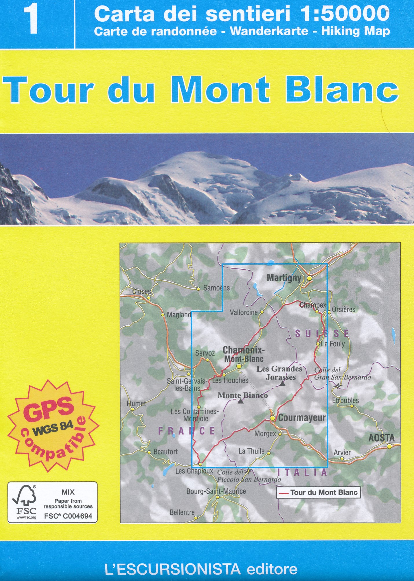
- Wandelkaart Tour du Mont Blanc | L'Escursionista editore
- Deze kaart dekt de hele route door Frankrijk, Zwitserland en Italie. Uitstekende wandelkaart van een lange afstands wandeling, de Tour du Mont Blanc, op schaal 1:50.000.Op de kaart staan alle noodzakelijke gegevens als hutten, de route en hoogtelijnen. Gedrukt op scheur- en watervastpapier. Descrive il trekking ad anello di 11 tappe che parte... Read more


