Cambridgeshire
Description
Links
Facts
Reports
Guides and maps
Lodging
Organisations
Tour operators
GPS
Other
Books

Stanfords
United Kingdom
United Kingdom
- Cambridgeshire - Drive & Stroll
- This work presents a collection of twenty circular routes for those who enjoy a country drive to an attractive spot for a refreshing walk. It includes walks at Yaxley, Grafham Water, Abbotsley and Horseheath, along with maps and photographs. Read more

Stanfords
United Kingdom
United Kingdom
- Ely, Wisbech & Downham Market OS Landranger Active Map 143 (waterproof)
- Cambridgeshire around Ely, Wisbech and Downham Market, including part of the E2 European Long-distance Path, on a waterproof and tear-resistant OS Active version of map No. 143 from the Ordnance Survey’s Landranger series at 1:50,000, with contoured and GPS compatible topographic mapping plus tourist information.MOBILE DOWNLOADS: As well as the... Read more

Stanfords
United Kingdom
United Kingdom
- Cambridge, Newmarket & Saffron Walden OS Landranger Active Map 154 (waterproof)
- Parts of Cambridgeshire, Suffolk and Essex with Cambridge, Newmarket and Saffron Walden, including part of the E2 European Long-distance path, on a waterproof and tear-resistant OS Active version of map No. 154 from the Ordnance Survey’s Landranger series at 1:50,000, with contoured and GPS compatible topographic mapping plus tourist... Read more

Stanfords
United Kingdom
United Kingdom
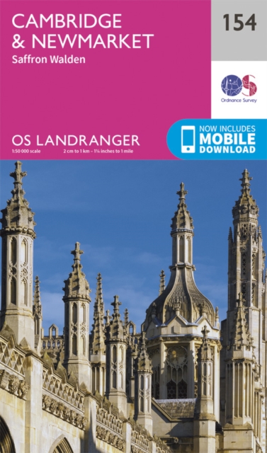
- Cambridge - Newmarket, Saffron Walden OS Landranger 154
- Parts of Cambridgeshire, Suffolk and Essex with Cambridge, Newmarket and Saffron Walden, including part of the E2 European Long-distance path, on a paper version of map No. 154 from the Ordnance Survey’s Landranger series at 1:50,000, with contoured and GPS compatible topographic mapping plus tourist information.MOBILE DOWNLOADS: As well as the... Read more
- Also available from:
- The Book Depository, United Kingdom
- De Zwerver, Netherlands
» Click to close

Stanfords
United Kingdom
2019
United Kingdom
2019
- Essex
- The Essex landscape gently undulates, with the highest ground to the north and west, near the Herfordshire and Cambridgeshire borders. A variety of routes are selected across the county to give a broad flavour of the county`s landscapes and heritage. On the marshes of Essex there is a genuine feeling of solitude that is hard to find anywhere... Read more
- Also available from:
- The Book Depository, United Kingdom
- De Zwerver, Netherlands

The Book Depository
United Kingdom
2019
United Kingdom
2019
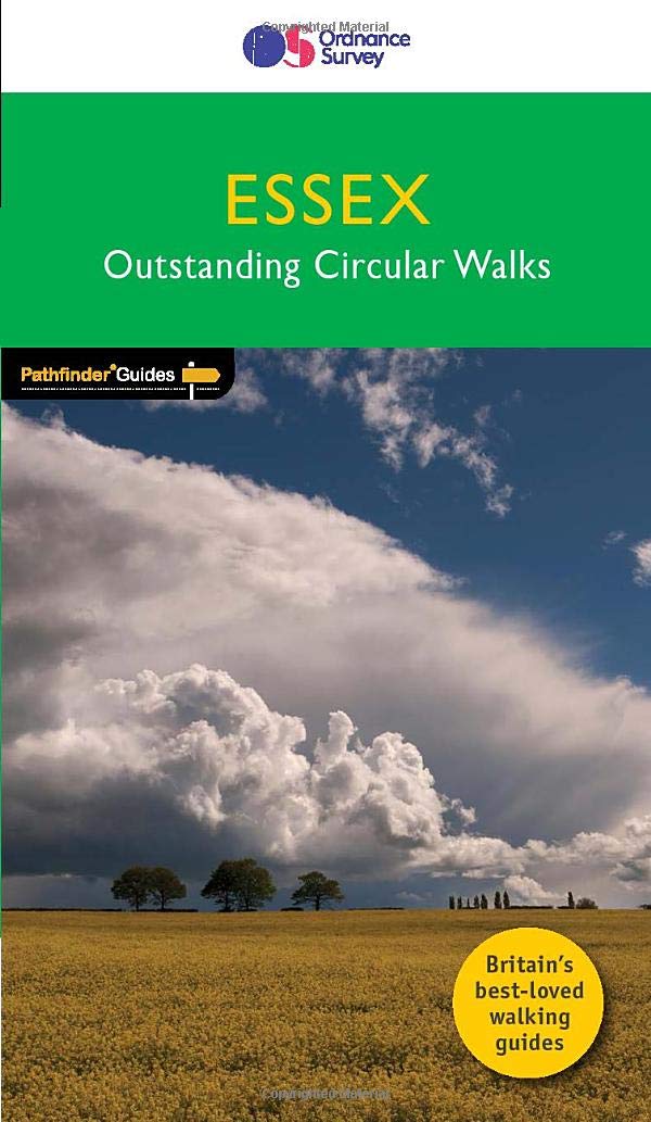
- Pathfinder Essex
- The Essex landscape gently undulates, with the highest ground to the north and west, near the Herfordshire and Cambridgeshire borders. A variety of routes are selected across the county to give a broad flavour of the county`s landscapes and heritage. On the marshes of Essex there is a genuine feeling of solitude that is hard to find anywhere... Read more
De Zwerver
Netherlands
2019
Netherlands
2019
- Wandelgids 44 Pathfinder Guides Essex | Ordnance Survey
- The Essex landscape gently undulates, with the highest ground to the north and west, near the Herfordshire and Cambridgeshire borders. A variety of routes are selected across the county to give a broad flavour of the county`s landscapes and heritage. On the marshes of Essex there is a genuine feeling of solitude that is hard to find anywhere... Read more
- Also available from:
- De Zwerver, Netherlands
» Click to close

Stanfords
United Kingdom
2021
United Kingdom
2021
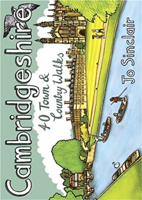
- Cambridgeshire: 40 Town & Country Walks
- With its hallowed streets, glorious colleges and peaceful riverside walks along the Cam, Cambridge is the jewel in the crown of Cambridgeshire and a richly rewarding city to tour on foot. This is a big county, however, and it is well worth exploring the countryside beyond the glittering city. This guide takes you through the rich heritage of... Read more
- Also available from:
- The Book Depository, United Kingdom
- De Zwerver, Netherlands
De Zwerver
Netherlands
2021
Netherlands
2021
- Wandelgids Cambridgeshire | Pocket Mountains
- With its hallowed streets, glorious colleges and peaceful riverside walks along the Cam, Cambridge is the jewel in the crown of Cambridgeshire and a richly rewarding city to tour on foot. This is a big county, however, and it is well worth exploring the countryside beyond the glittering city. This guide takes you through the rich heritage of... Read more

Stanfords
United Kingdom
United Kingdom
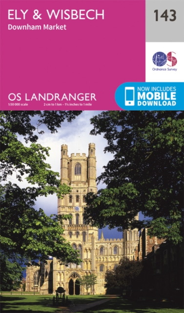
- Ely, Wisbech & Downham Market OS Landranger Map 143 (paper)
- Cambridgeshire around Ely, Wisbech and Downham Market, including part of the E2 European Long-distance Path, on a paper version of map No. 143 from the Ordnance Survey’s Landranger series at 1:50,000, with contoured and GPS compatible topographic mapping plus tourist information.MOBILE DOWNLOADS: As well as the physical edition of the map, each... Read more
- Also available from:
- The Book Depository, United Kingdom
- De Zwerver, Netherlands
» Click to close
Bol.com
Netherlands
Netherlands
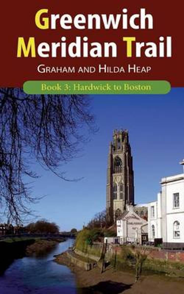
- Greenwich Meridian Trail Book 3
- The Greenwich Meridian Trail is a new long-distance walk from Peacehaven in East Sussex to Sand le Mere in East Yorkshire, following the line of the Prime Meridian. The total length of the trail is 273 miles (439 km). It is divided into four parts, this guidebook covers the third part which starts in the northern fringe of Cambridgeshire hills,... Read more
- Also available from:
- Bol.com, Belgium

Bol.com
Belgium
Belgium
- Greenwich Meridian Trail Book 3
- The Greenwich Meridian Trail is a new long-distance walk from Peacehaven in East Sussex to Sand le Mere in East Yorkshire, following the line of the Prime Meridian. The total length of the trail is 273 miles (439 km). It is divided into four parts, this guidebook covers the third part which starts in the northern fringe of Cambridgeshire hills,... Read more

Stanfords
United Kingdom
2021
United Kingdom
2021
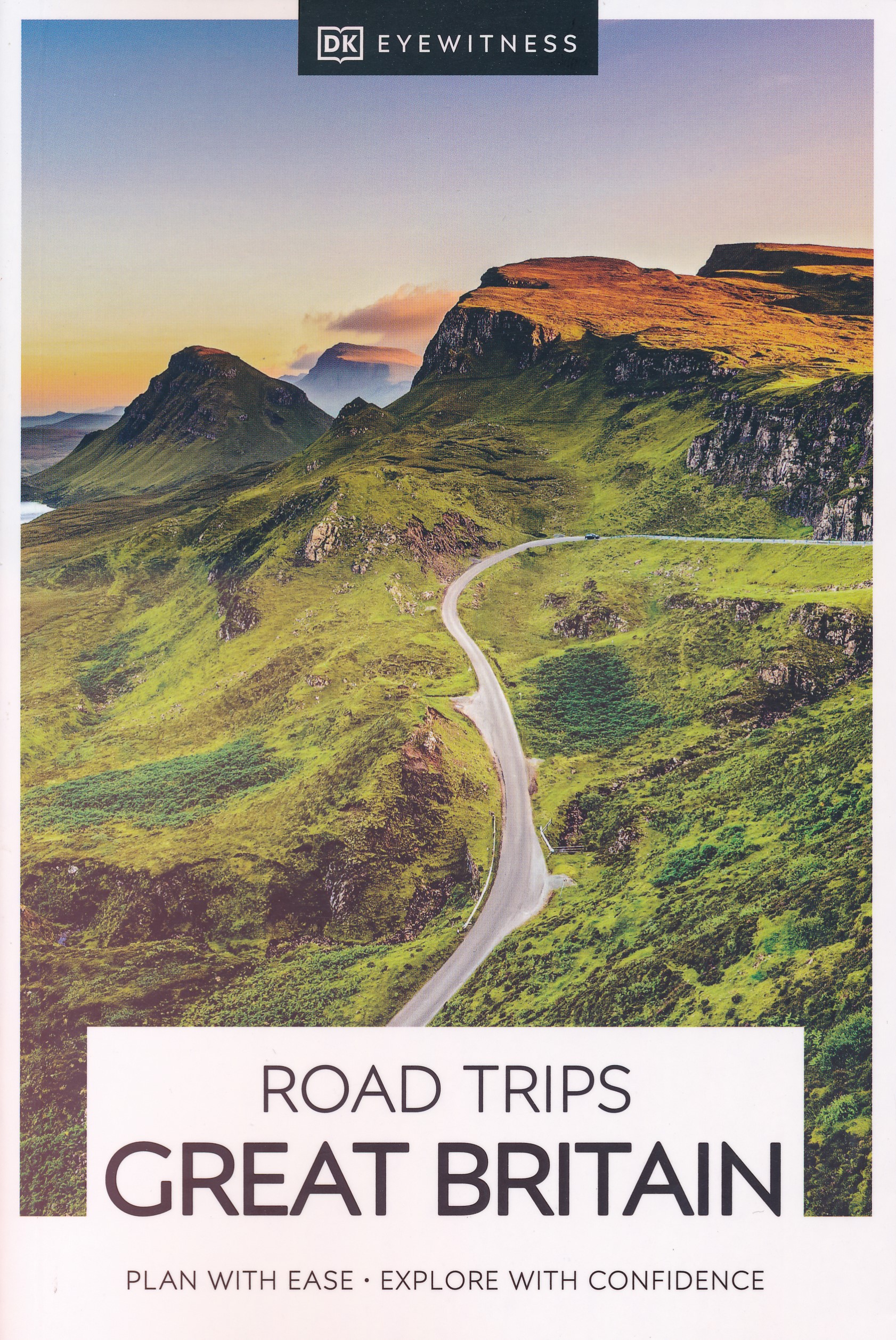
- DK Eyewitness Road Trips Great Britain
- With its idyllic market towns, romantic castle ruins and stunning natural landscapes, Great Britain is the perfect destination for a leisurely road trip. It`s yours to explore with Road Trips Great Britain, which contains 25 drives across the country, from the sweeping sandy beaches of Cornwall to the dramatic peaks of the Scottish... Read more
- Also available from:
- De Zwerver, Netherlands
De Zwerver
Netherlands
2021
Netherlands
2021
- Reisgids Road Trips Great Britain | Dorling Kindersley
- With its idyllic market towns, romantic castle ruins and stunning natural landscapes, Great Britain is the perfect destination for a leisurely road trip. It`s yours to explore with Road Trips Great Britain, which contains 25 drives across the country, from the sweeping sandy beaches of Cornwall to the dramatic peaks of the Scottish... Read more

Bol.com
Netherlands
Netherlands
- Philip's Street Atlas Cambridgeshire and Peterborough
- THE ONLY COUNTY STREET ATLAS WITH ALL THE NAMED STREETS OF CAMBRIDGESHIRE AND PETERBOROUGH.The UK's best-selling county street atlasesMore than 24,000 named streets, roads, lanes and alleysThe essential map book for residents and visitors - and if you're moving to CambridgeshireIncludes all the streets in CAMBRIDGE, ELY, HUNTINGDON, MARCH,... Read more
- Also available from:
- Bol.com, Belgium

Bol.com
Belgium
Belgium
- Philip's Street Atlas Cambridgeshire and Peterborough
- THE ONLY COUNTY STREET ATLAS WITH ALL THE NAMED STREETS OF CAMBRIDGESHIRE AND PETERBOROUGH.The UK's best-selling county street atlasesMore than 24,000 named streets, roads, lanes and alleysThe essential map book for residents and visitors - and if you're moving to CambridgeshireIncludes all the streets in CAMBRIDGE, ELY, HUNTINGDON, MARCH,... Read more

Stanfords
United Kingdom
2021
United Kingdom
2021
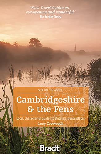
- Cambridgeshire & The Fens (Slow Travel)
- This new book adds Cambridgeshire and the Fens to Bradt`s award-winning Slow Travel series - the biggest series of UK regional travel guides, now over 20 titles strong. No other title offers the range and depth of information on this varied, beautiful and surprisingly undiscovered region. Cambridge itself attracts visitors, students,... Read more
- Also available from:
- De Zwerver, Netherlands
De Zwerver
Netherlands
2021
Netherlands
2021
- Reisgids Slow Travel Cambridgeshire and the Fens | Bradt Travel Guides
- This new book adds Cambridgeshire and the Fens to Bradt`s award-winning Slow Travel series - the biggest series of UK regional travel guides, now over 20 titles strong. No other title offers the range and depth of information on this varied, beautiful and surprisingly undiscovered region. Cambridge itself attracts visitors, students,... Read more
Bol.com
Netherlands
Netherlands
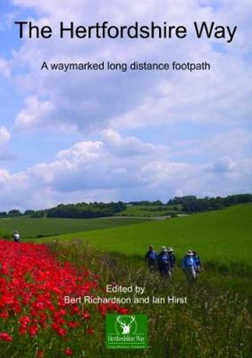
- The Hertfordshire Way
- The 195 mile trail covers a large part of this beautiful, populous and rich county, incidentally one of the smallest counties in England, only 634 square miles. It is a county of rich contrasts. In the north-east there are wide open panoramas over low hills and farm lands as seen in the area around Barkway. Standing on Therfield Heath you can... Read more
- Also available from:
- Bol.com, Belgium

Bol.com
Belgium
Belgium
- The Hertfordshire Way
- The 195 mile trail covers a large part of this beautiful, populous and rich county, incidentally one of the smallest counties in England, only 634 square miles. It is a county of rich contrasts. In the north-east there are wide open panoramas over low hills and farm lands as seen in the area around Barkway. Standing on Therfield Heath you can... Read more
Bol.com
Netherlands
Netherlands
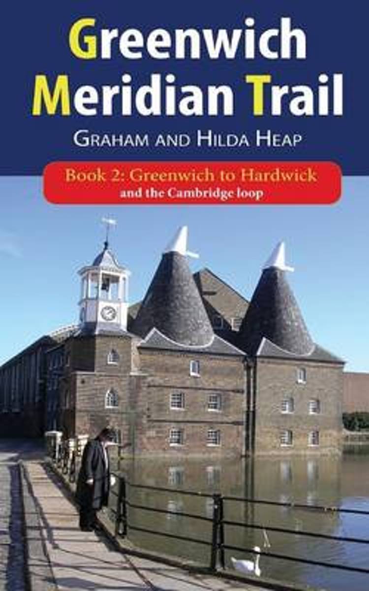
- Greenwich Meridian Trail Book 2
- The Greenwich Meridian Trail is a new long-distance walk from Peacehaven in East Sussex to Sand le Mere in East Yorkshire, following the line of the Prime Meridian. The total length of the trail is 273 miles (439 km). It is divided into four parts, this guidebook covers the second part, which takes you out of London, through Epping Forest nad... Read more
- Also available from:
- Bol.com, Belgium

Bol.com
Belgium
Belgium
- Greenwich Meridian Trail Book 2
- The Greenwich Meridian Trail is a new long-distance walk from Peacehaven in East Sussex to Sand le Mere in East Yorkshire, following the line of the Prime Meridian. The total length of the trail is 273 miles (439 km). It is divided into four parts, this guidebook covers the second part, which takes you out of London, through Epping Forest nad... Read more
Bol.com
Netherlands
2016
Netherlands
2016
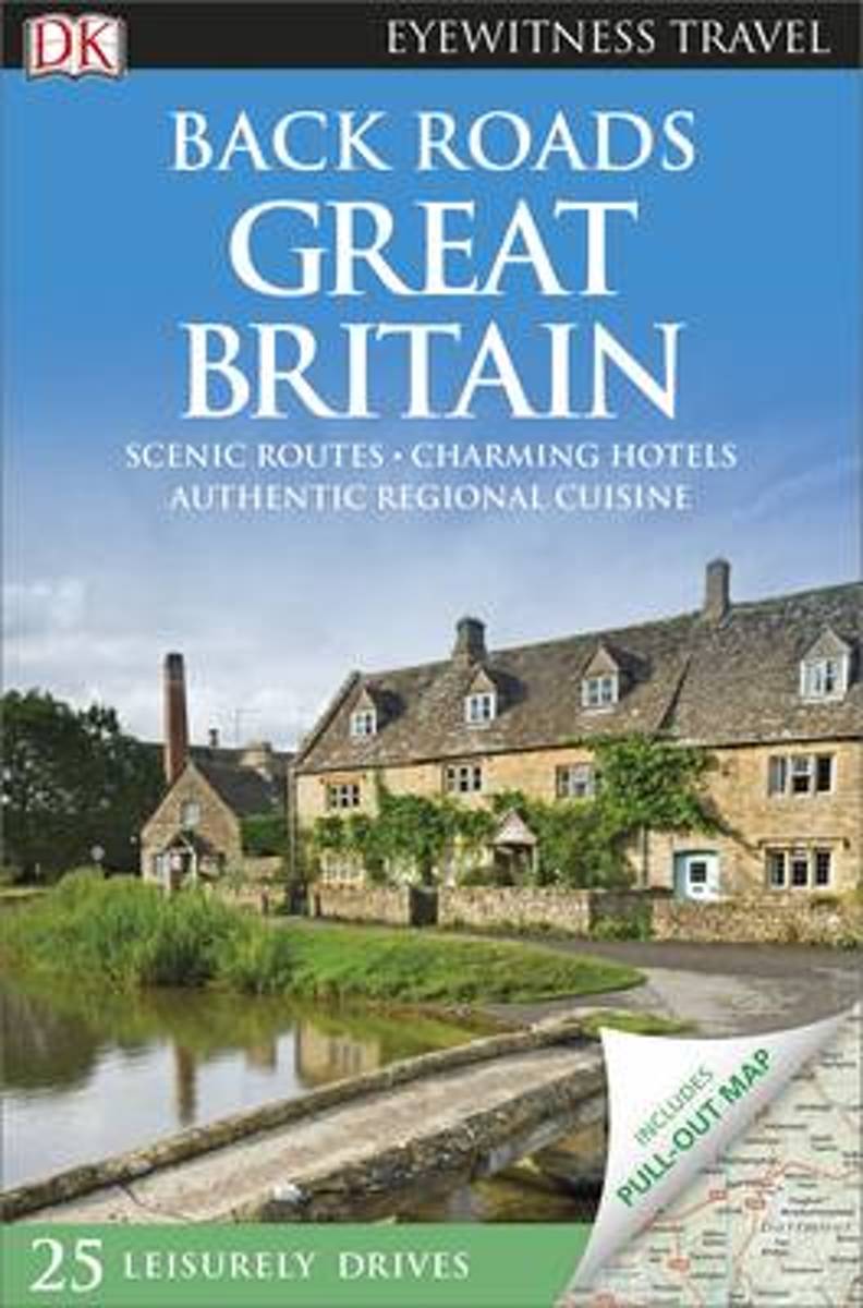
- Back Roads Great Britain
- Take to the open road with Back Roads Great Britain and discover 25 leisurely drives through the country's beautiful villages and stunning landscapes. Explore the spectacular scenery of the Lake District, follow a whisky trail through the Highlands or discover picturesque coastal villages in Cornwall. Packed with insider tips and information,... Read more
- Also available from:
- Bol.com, Belgium

Bol.com
Belgium
2016
Belgium
2016
- Back Roads Great Britain
- Take to the open road with Back Roads Great Britain and discover 25 leisurely drives through the country's beautiful villages and stunning landscapes. Explore the spectacular scenery of the Lake District, follow a whisky trail through the Highlands or discover picturesque coastal villages in Cornwall. Packed with insider tips and information,... Read more


