
Dumfries
Description
Links
Facts
Reports
Guides and maps
Lodging
Organisations
Tour operators
GPS
Other
Books

Stanfords
United Kingdom
United Kingdom
- Lincolnshire: A Dog Walker`s Guide
- Here is a collection of 20 tried and tested circular walks with plenty of opportunities for your dog to roam safely off lead. The routes vary in length from 2 and a half to 6 miles and introduce dogs and their owners to Lincolnshire`s glorious countryside; lush Vales; a wetland habitat in the Fens, coastal walks by the Wash, woodland in the... Read more

Stanfords
United Kingdom
United Kingdom
- Lincolnshire - Adventurous Pub Walks
- This book features twenty circular walks varying in length between 7 and 12 miles, and based around good local pubs. It covers routes near Grantham, Boston, Lincoln, Scunthorpe and Grimsby, and contains maps and photographs. Read more

Stanfords
United Kingdom
United Kingdom
- Curlew Moon
- `Focuses a razor light on the plight of one of our most iconic birds. Inspirational!` Tim Birkhead Curlews are Britain`s largest wading bird, known for their evocative calls which embody wild places; they provoke a range of emotions that many have expressed in poetry, art and music. ”A bird stands alone on the edge of a mudflat. Its silhouette... Read more

Stanfords
United Kingdom
United Kingdom
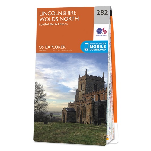
- Lincolnshire Wolds North - Louth & Market Rasen OS Explorer Active Map 282 (waterproof)
- Lincolnshire Wolds North, Louth and Market Rasen area on a detailed topographic and GPS compatible map No. 282, waterproof version, from the Ordnance Survey’s 1:25,000 Explorer series. MOBILE DOWNLOADS: this title and all the other OS Explorer maps include a code for downloading after purchase the digital version onto your smartphone or tablet... Read more

Stanfords
United Kingdom
2015
United Kingdom
2015
- Nithsdale, Dumfries & Thornhill OS Explorer Map 321 (paper)
- Nithsdale, Dumfries and Thornhill area on a detailed topographic and GPS compatible map No. 321, paper version, from the Ordnance Survey’s 1:25,000 Explorer series.MOBILE DOWNLOADS: this title and all the other OS Explorer maps include a code for downloading after purchase the digital version onto your smartphone or tablet for viewing on the OS... Read more
- Also available from:
- The Book Depository, United Kingdom
- De Zwerver, Netherlands

De Zwerver
Netherlands
2015
Netherlands
2015

Stanfords
United Kingdom
2015
United Kingdom
2015
- Dumfries & Dalbeattie - New Abbey & Mabie Forest OS Explorer Map 313 (paper)
- Dumfries, Dalbeattie, New Abbey and Mabie Forest area on a detailed topographic and GPS compatible map No. 313, paper version, from the Ordnance Survey’s 1:25,000 Explorer series.MOBILE DOWNLOADS: this title and all the other OS Explorer maps include a code for downloading after purchase the digital version onto your smartphone or tablet for... Read more
- Also available from:
- The Book Depository, United Kingdom
- De Zwerver, Netherlands

De Zwerver
Netherlands
2015
Netherlands
2015

Stanfords
United Kingdom
2018
United Kingdom
2018
- Lincolnshire & the Wolds
- The second largest county in England, Lincolnshire offers a surprising diversity of landscape - rolling wolds, coastal reaches, marshlands with endless skies and wide and impressive vistas, interspersed with historic market towns, magnificent churches and, of course, the ancient cathedral city of Lincoln. The county is largely unspoilt and... Read more
- Also available from:
- The Book Depository, United Kingdom
- De Zwerver, Netherlands

The Book Depository
United Kingdom
2018
United Kingdom
2018
- Pathfinder Lincolnshire & the Wolds
- The second largest county in England, Lincolnshire offers a surprising diversity of landscape - rolling wolds, coastal reaches, marshlands with endless skies and wide and impressive vistas, interspersed with historic market towns, magnificent churches and, of course, the ancient cathedral city of Lincoln. The county is largely unspoilt and... Read more
De Zwerver
Netherlands
2018
Netherlands
2018
- Wandelgids 50 Pathfinder Guides Pathfinder Lincolnshire & the Wolds | Ordnance Survey
- The second largest county in England, Lincolnshire offers a surprising diversity of landscape - rolling wolds, coastal reaches, marshlands with endless skies and wide and impressive vistas, interspersed with historic market towns, magnificent churches and, of course, the ancient cathedral city of Lincoln. The county is largely unspoilt and... Read more

Stanfords
United Kingdom
2015
United Kingdom
2015
- Lincolnshire Wolds South - Horncastle & Woodhall Spa OS Explorer Map 273 (paper)
- Lincolnshire Wolds South, Horncastle and Woodhall Spa area on a detailed topographic and GPS compatible map No. 273, paper version, from the Ordnance Survey’s 1:25,000 Explorer series.MOBILE DOWNLOADS: this title and all the other OS Explorer maps include a code for downloading after purchase the digital version onto your smartphone or tablet... Read more
- Also available from:
- The Book Depository, United Kingdom
- De Zwerver, Netherlands

De Zwerver
Netherlands
2015
Netherlands
2015

Stanfords
United Kingdom
2018
United Kingdom
2018
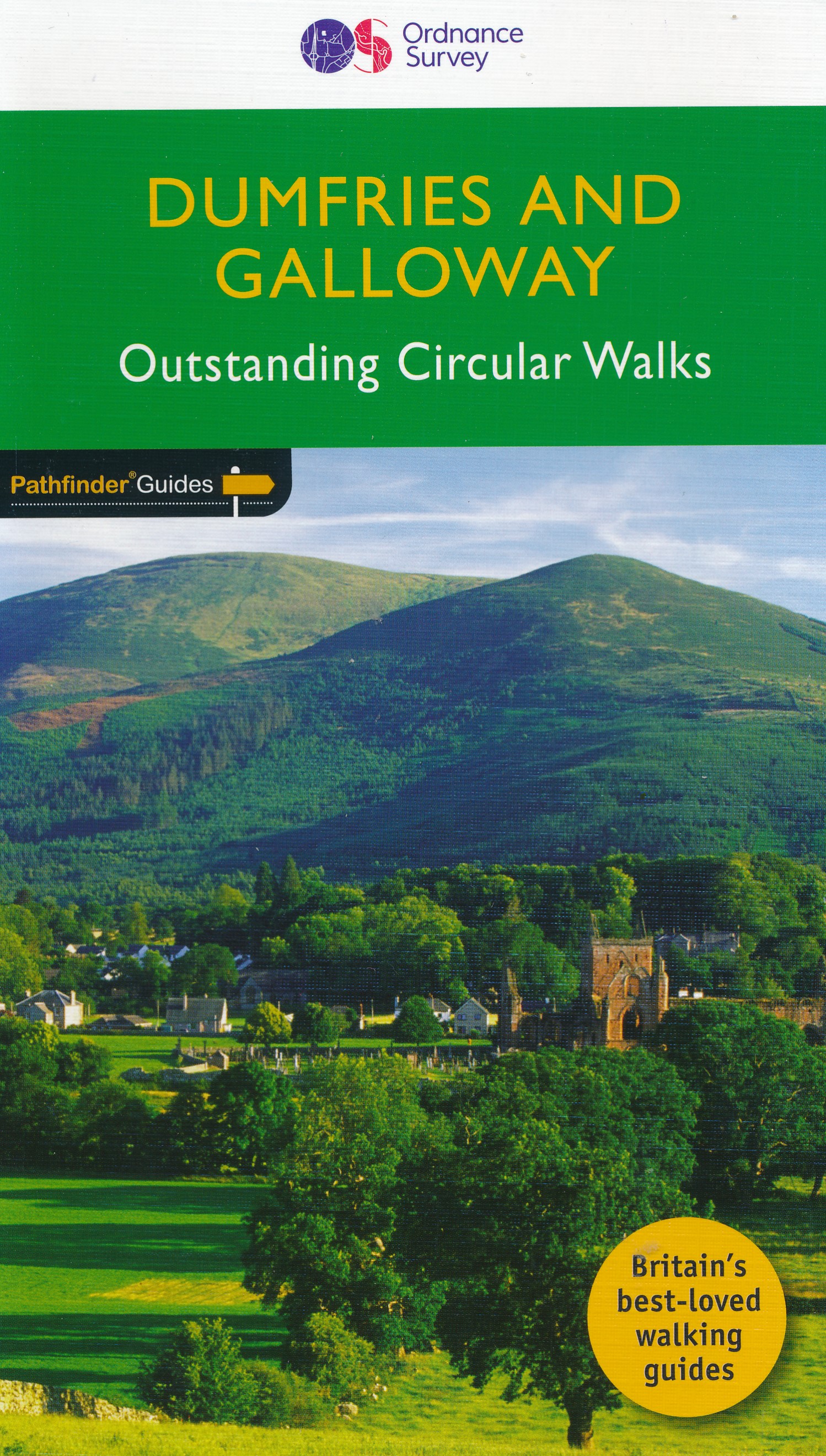
- Dumfries & Galloway
- Dumfries and Galloway form the south-west of Scotland, a broad wedge of land jutting out into the Irish Sea between the Solway Firth and the Firth of Clyde. The area is also part of Scotland`s border country a peaceful, unspoilt region that possesses a mild climate, a great variety of scenery and a rich historic legacy. The mountains of... Read more
- Also available from:
- The Book Depository, United Kingdom
- De Zwerver, Netherlands

The Book Depository
United Kingdom
2018
United Kingdom
2018
- Dumfries & Galloway
- Dumfries and Galloway form the south-west of Scotland, a broad wedge of land jutting out into the Irish Sea between the Solway Firth and the Firth of Clyde. The area is also part of Scotland`s border country a peaceful, unspoilt region that possesses a mild climate, a great variety of scenery and a rich historic legacy. The mountains of... Read more
De Zwerver
Netherlands
2018
Netherlands
2018
- Wandelgids 19 Pathfinder Guides Dumfries & Galloway | Ordnance Survey
- Dumfries and Galloway form the south-west of Scotland, a broad wedge of land jutting out into the Irish Sea between the Solway Firth and the Firth of Clyde. The area is also part of Scotland`s border country a peaceful, unspoilt region that possesses a mild climate, a great variety of scenery and a rich historic legacy. The mountains of... Read more


Stanfords
United Kingdom
2015
United Kingdom
2015
- Lincolnshire Wolds North - Louth & Market Rasen OS Explorer Map 282 (paper)
- Lincolnshire Wolds North, Louth and Market Rasen area on a detailed topographic and GPS compatible map No. 282, paper version, from the Ordnance Survey’s 1:25,000 Explorer series. MOBILE DOWNLOADS: this title and all the other OS Explorer maps include a code for downloading after purchase the digital version onto your smartphone or tablet for... Read more
- Also available from:
- The Book Depository, United Kingdom
- De Zwerver, Netherlands

De Zwerver
Netherlands
2015
Netherlands
2015

Stanfords
United Kingdom
United Kingdom
- Lincolnshire Wolds South - Horncastle & Woodhall Spa OS Explorer Active Map 273 (waterproof)
- Lincolnshire Wolds South, Horncastle and Woodhall Spa area on a detailed topographic and GPS compatible map No. 273, waterproof version, from the Ordnance Survey’s 1:25,000 Explorer series. MOBILE DOWNLOADS: this title and all the other OS Explorer maps include a code for downloading after purchase the digital version onto your smartphone or... Read more
- Also available from:
- The Book Depository, United Kingdom


Stanfords
United Kingdom
United Kingdom
- Dumfries & Castle Douglas Landranger Active Map 84 (waterproof)
- Waterproof and tear-resistant OS Active version of map No. 84 from the Ordnance Survey’s Landranger series at 1:50,000, with contoured and GPS compatible topographic mapping plus tourist information.MOBILE DOWNLOADS: As well as the physical edition of the map, each Landranger title now includes a code for downloading after purchase its digital... Read more
- Also available from:
- The Book Depository, United Kingdom


The Book Depository
United Kingdom
2020
United Kingdom
2020
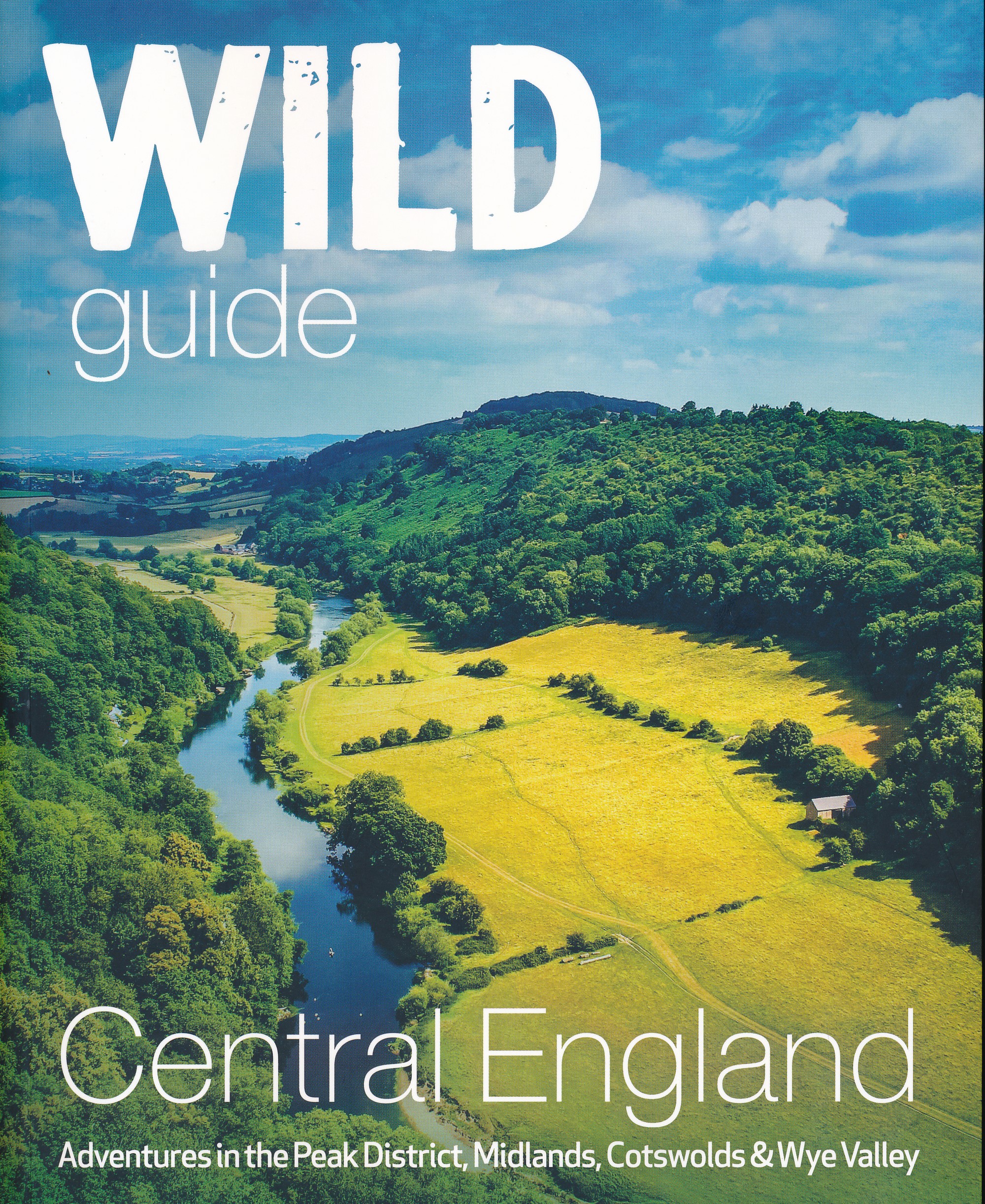
- Wild Guide Central England
- Adventures in the Peak District, Cotswolds, Midlands, Wye Valley, Welsh Marches and Lincolnshire Coast Read more
- Also available from:
- De Zwerver, Netherlands
De Zwerver
Netherlands
2020
Netherlands
2020
- Reisgids Central England - Centraal Engeland | Wild Things Publishing
- Adventures in the Peak District, Cotswolds, Midlands, Wye Valley, Welsh Marches and Lincolnshire Coast Read more

Stanfords
United Kingdom
United Kingdom
- Nithsdale, Dumfries & Thornhill OS Explorer Active Map 321 (waterproof)
- Nithsdale, Dumfries and Thornhill area on a detailed topographic and GPS compatible map No. 321, waterproof version, from the Ordnance Survey’s 1:25,000 Explorer series.MOBILE DOWNLOADS: this title and all the other OS Explorer maps include a code for downloading after purchase the digital version onto your smartphone or tablet for viewing on... Read more
- Also available from:
- The Book Depository, United Kingdom

Maps
More maps…
