Saint Oswald's Way
Description
- Name Saint Oswald's Way
- Length of trail 156 km, 97 miles
- Length in days 8 days
- Start of trail Holy Island
- End of trail Heavenfield
- Traildino grading EW, Easy walk, nature trail
Holy Island - Heavenfield, 97 miles, 156 km, 8 days
Both history and landscape are the themes for this walk. The start is in Holy Island, and here the path runs together with Saint Cuthbert's Way. The path takes us along the fine coastline of Northumberland, where it follows the same track as the Northumberland Coastal Path. The southern part turns inland, and connects to Hadrian's Wall Path.
Links
Facts
Reports
Guides and maps
Lodging
Organisations
Tour operators
GPS
Other
Books
De Zwerver
Netherlands
2023
Netherlands
2023

The Book Depository
United Kingdom
2016
United Kingdom
2016
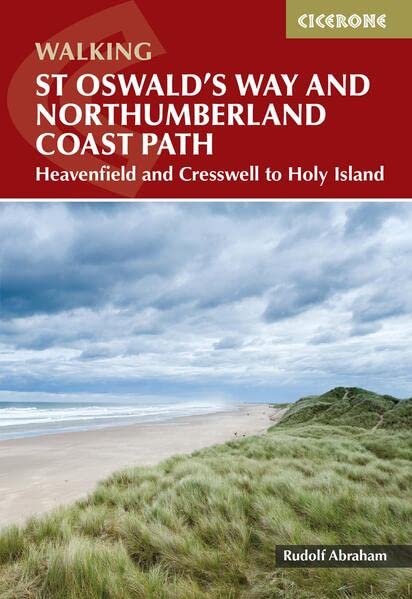
- St Oswald's Way and St Cuthbert's Way
- With the Northumberland Coast Path Read more
- Also available from:
- Bol.com, Netherlands
- Bol.com, Belgium
- De Zwerver, Netherlands
Bol.com
Netherlands
2016
Netherlands
2016
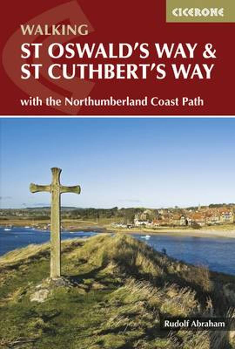
- St Oswald's Way and St Cuthbert's Way
- This guide describes two long-distance trails through the unspoilt scenery of Northumberland and the Borders. St Oswald's Way begins at Heavenfield and its 97 miles take in rolling farmland and the Simonside Hills before reaching the vast sandy beaches of the coast. The 62 mile St Cuthbert's Way begins at Melrose and crosses the rugged crags... Read more
Bol.com
Belgium
2016
Belgium
2016
- St Oswald's Way and St Cuthbert's Way
- This guide describes two long-distance trails through the unspoilt scenery of Northumberland and the Borders. St Oswald's Way begins at Heavenfield and its 97 miles take in rolling farmland and the Simonside Hills before reaching the vast sandy beaches of the coast. The 62 mile St Cuthbert's Way begins at Melrose and crosses the rugged crags... Read more
De Zwerver
Netherlands
2016
Netherlands
2016
- Wandelgids St Oswald's Way and St Cuthbert's Way | Cicerone
- This guidebook describes two long-distance trails through Northumberland and the Borders. St Oswald's Way runs 97 miles from Heavenfield near Hadrian's Wall. St Cuthbert's Way is 62 miles from Melrose. Both routes pass through Northumberland National Park and follow part of the Northumberland Coast Path to meet at Holy Island. Read more
Maps

Stanfords
United Kingdom
United Kingdom
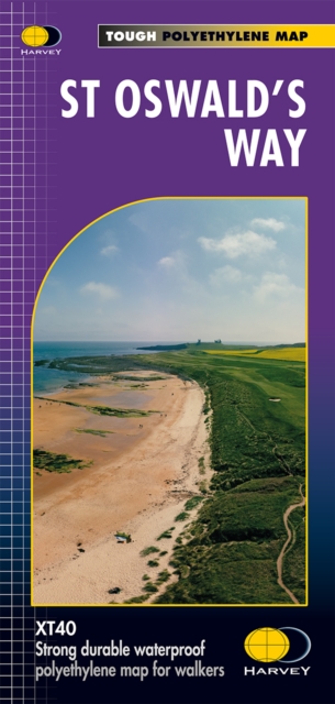
- St Oswald`s Way Harvey National Trail XT40
- St Oswald`s Way, linking the Holy Island (Lindisfarne) and Hardian’s Wall, on a waterproof and tear-resistant map at 1:40,000 from Harvey Map Services presenting the route accompanied by extensive additional tourist information.Divided into seven panels, the route is shown on mapping with contours at 15m intervals enhanced by additional... Read more
- Also available from:
- The Book Depository, United Kingdom

The Book Depository
United Kingdom
United Kingdom
- St Oswald's Way
- Mooie, duidelijke kaart van de St Oswald's Way Noord-Engeland. Geplastificeerd met veel extra informatie en uitsnedes van de route. From Holy Island to Heavenfield, the 97 mile St Oswald's Way links some of the places associated with St Oswaldwho was the King of Northumbria in the early 7th century. The route runs through the... Read more
More maps…