
Glyndŵr's Way
Description
- Name Glyndŵr's Way
- Length of trail 193 km, 120 miles
- Length in days 10 days
- Traildino grading EW, Easy walk, nature trail

120 miles, 195 km, 9 days
National Trail
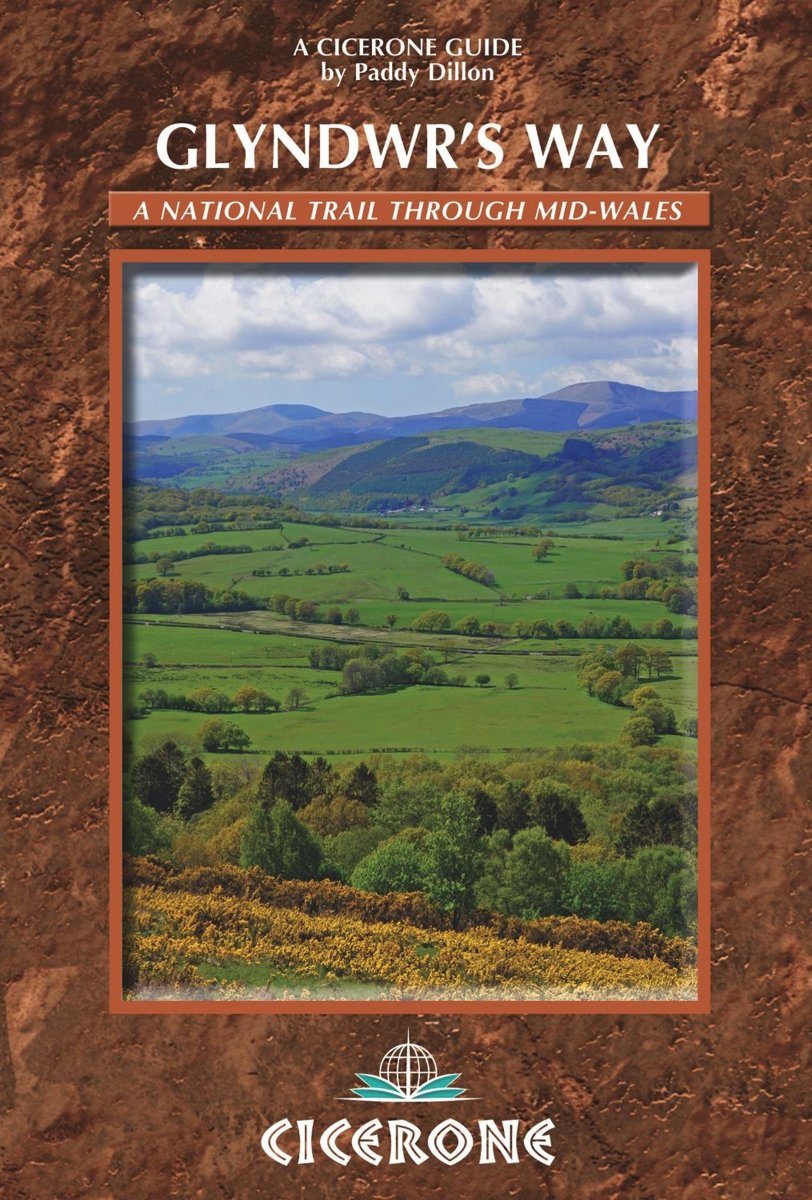
Owain Glyndŵr, the prince who fought the English six centuries ago, has lent his name to this path, a National Trail with a length of 120 miles, 195 km. Obviously, walkers will pass through Machynlleth, the town chosen by Owain Glyndwr as location for Wales' first parliament. The trail gives a diverse impression of the green and wild Wales, which, despite Owain, never attained independence.
Select some tracks
☐Glyndŵr's Way, 218km
Map

Links
Facts
Reports
Guides and maps
Lodging
Organisations
Tour operators
GPS
Other
Books


The Book Depository
United Kingdom
2014
United Kingdom
2014
- Glyndwr's Way
- Guidebook to Glyndwr's Way, a mid-Wales long-distance National Trail of 135 miles taking 9 days to walk, and 2 days (and 29 miles) to complete the loop down the Offa's Dyke Path to create a circular trail. It loops west from Knighton via Machynlleth to Welshpool and covers quiet hills, forests and rolling countryside. Read more
- Also available from:
- Bol.com, Netherlands
- Bol.com, Belgium
Bol.com
Netherlands
2014
Netherlands
2014
- Glyndwr's Way
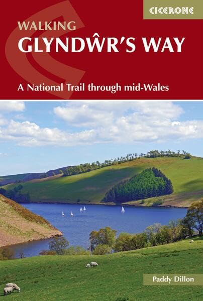
- A complete guide to walking Glyndwr's Way National Trail. This guidebook divides the 135 mile trail into nine day stages, starting at Knighton and ending at Welshpool. After day 4 there is an optional ascent of Pumlimon Fawr, which will require an extra day. Days 10 and 11 follow the Offa's Dyke Path National Trail for those who prefer a... Read more
Bol.com
Belgium
2014
Belgium
2014
- Glyndwr's Way
- A complete guide to walking Glyndwr's Way National Trail. This guidebook divides the 135 mile trail into nine day stages, starting at Knighton and ending at Welshpool. After day 4 there is an optional ascent of Pumlimon Fawr, which will require an extra day. Days 10 and 11 follow the Offa's Dyke Path National Trail for those who prefer a... Read more
More books…
Maps

Stanfords
United Kingdom
2014
United Kingdom
2014
- Glyndwr`s Way Harvey National Trail XT40
- Glyndwr`s Way, a 217km / 135 mile long trail from Knighton in Powys to Welshpool presented at 1:40,000 on a GPS compatible, light, waterproof and tear-resistant map from Harvey Map Services. The whole route is covered on eight overlapping panels. Map legend includes Welsh; most of the additional information is in English only.Maps in the... Read more
- Also available from:
- De Zwerver, Netherlands

De Zwerver
Netherlands
2014
Netherlands
2014
- Wandelkaart Glyndwr's Way | Harvey Maps
- Glyndwr's Way, a 217km / 135 mile long trail from Knighton in Powys to Welshpool presented at 1:40,000 on a GPS compatible, light, waterproof and tear-resistant map from Harvey Map Services. The whole route is covered on eight overlapping panels. Map legend includes Welsh; most of the additional information is in English only.Maps in the Harvey Read more