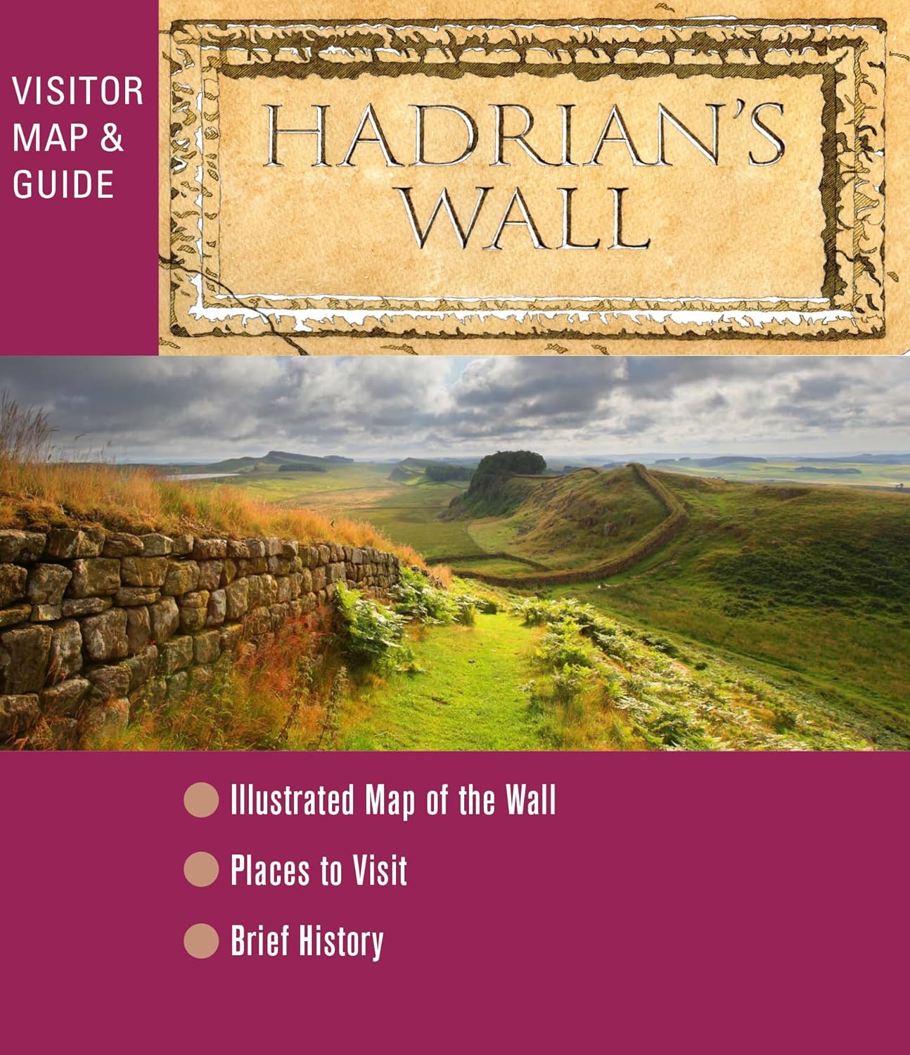
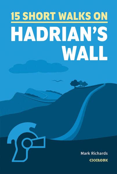
Hadrian's Wall
Description
- Name Hadrian's Wall
- Length of trail 135 km, 84 miles
- Length in days 7 days
- Traildino grading EW, Easy walk, nature trail

84 miles, 135 km, 7 days
National Trail
This National Trail runs close to the defence wall built by Roman emporer Hadrian in the second century AD. Although the path is not very difficult, due to its distance from populated areas, careful planning in advance is necessary. The remoteness of Northumberland and the relative flatness of the walk with its great views, give it a special flavour and make it a popular walk.
Select some tracks
☐Hadrian's Wall Path, 139km
Map

Links
Facts
Reports
Guides and maps
Lodging
Organisations
Tour operators
GPS
Other
Books

Stanfords
United Kingdom
2020
United Kingdom
2020
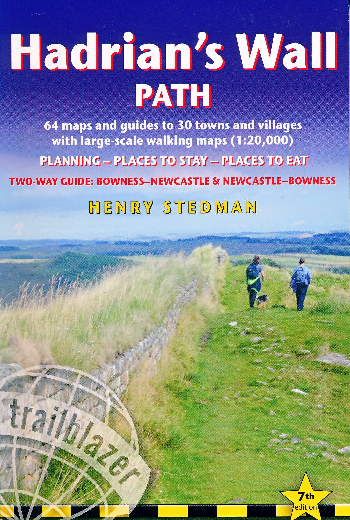
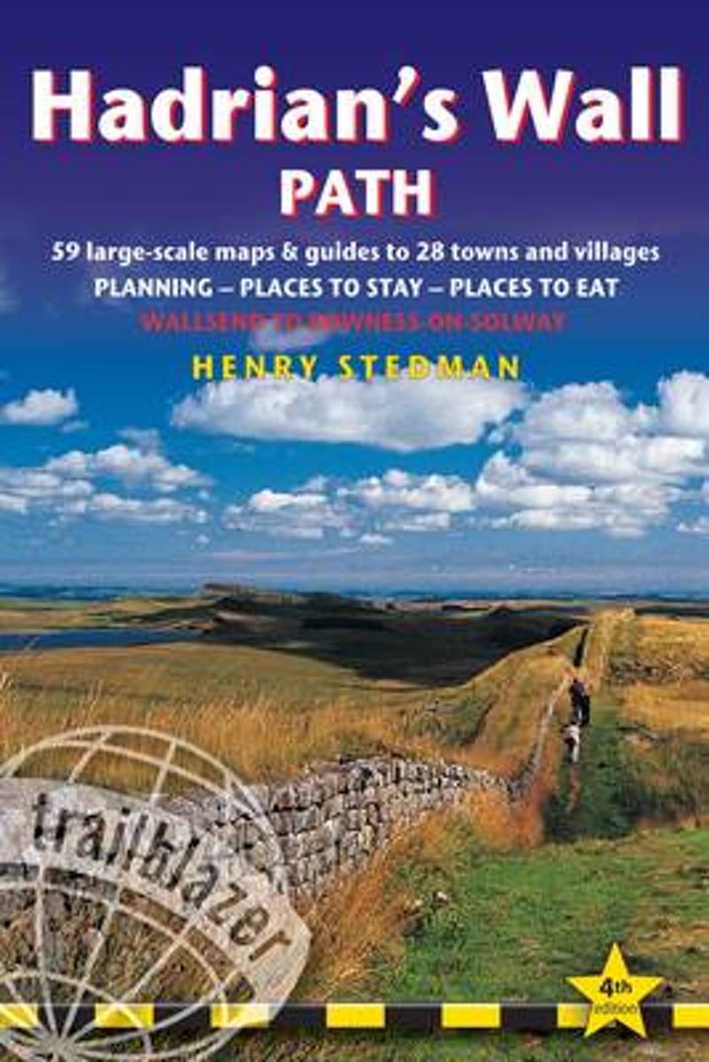
- Hadrian`s Wall Path
- Trailblazer British Walking Guide, two-way edition with routes re-walked from Bowness-on-Solway to Wallsend (Newcastle) and Wallsend (Newcastle) to Bowness-on-Solway. All-in-one guide to walking Hadrian`s Wall Path National Trail. Hadrian`s Wall Path, 84 miles from end to end, follows the course of northern Europe`s largest surviving Roman... Read more

Stanfords
United Kingdom
United Kingdom
- Nevermind the Quantocks
- `Every one of us knows the moment when the simple act of putting one foot in front of another stops being a method of propulsion and becomes an adventure.` In this hilarious and heart-warming collection of essays, writer and broadcaster Stuart Maconie reflects on a life spent exploring the British countryside on foot. From the splendour of the... Read more
- Also available from:
- De Zwerver, Netherlands
De Zwerver
Netherlands
2015
Netherlands
2015

- Also available from:
- De Zwerver, Netherlands


Stanfords
United Kingdom
2018
United Kingdom
2018
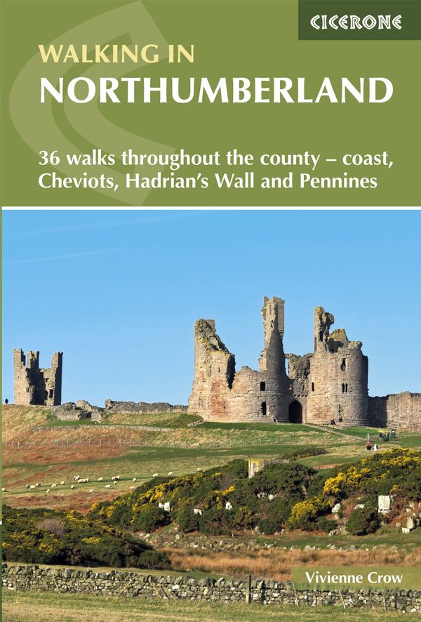
- Walking in Northumberland: 36 walks throughout the national park - coast, Cheviots, Hadrian`s Wall and Pennines
- The book comprises 36 short walking routes between 4 and 14 miles in Northumberland, England`s most sparsely populated county. Ranging from easy ambles and gentle woodland trails to long days on the hills, there is something for all types of walker - and all types of weather. Taking in the beautiful coast with its immense, empty beaches and... Read more
- Also available from:
- The Book Depository, United Kingdom
- De Zwerver, Netherlands

The Book Depository
United Kingdom
2018
United Kingdom
2018
- Walking in Northumberland
- 36 walks throughout the county - coast, Cheviots, Hadrian's Wall and Pennines Read more
De Zwerver
Netherlands
2018
Netherlands
2018
- Wandelgids Walking in Northumberland | Cicerone
- Guidebook to walking in Northumberland. 36 graded walks of 4 to 14 miles, from the beautiful coast with its immense, empty beaches and dramatic, crag-top castles to the remote hills of the Cheviots and Pennines. Includes Hadrian's Wall, Lindisfarne Priory, Kielder, Berwick, Bamburgh and Dunstanburgh Castles and more. Read more

Stanfords
United Kingdom
2021
United Kingdom
2021
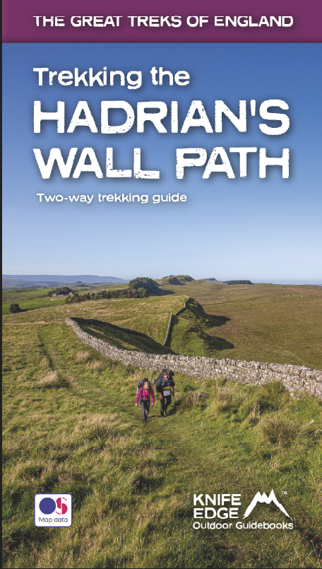
- Trekking the Hadrian`s Wall Path (National Trail Guidebook with OS 1:25k maps): Two-way guidebook: described east-west and west-east
- Hadrian`s Wall was one of the Romans` most ambitious structures. When completed, it ran for 73 miles between the west and east coasts of Northern England. It crossed the crags and hills of some of Britain`s wildest and most beautiful terrain. The Hadrian`s Wall path is one of England`s official `National Trails`. It leads you on an... Read more
- Also available from:
- The Book Depository, United Kingdom
- De Zwerver, Netherlands

The Book Depository
United Kingdom
2021
United Kingdom
2021
- Trekking the Hadrian's Wall Path (National Trail Guidebook with OS 1:25k maps)
- Two-way guidebook: described east-west and west-east Read more
De Zwerver
Netherlands
2021
Netherlands
2021
- Wandelgids Trekking the Hadrian's Wall Path | Knife Edge Outdoor
- Two-way guidebook: described east-west and west-east Read more

The Book Depository
United Kingdom
United Kingdom
- The View from Hadrian's Wall
- Two Friends Hike Along the Ancient Roman Frontier Read more

The Book Depository
United Kingdom
2023
United Kingdom
2023
- Hadrian's Wall Path Trailblazer walking guide
- Two-way guide: Bowness to Newcastle and Newcastle to Bowness Read more
- Also available from:
- De Zwerver, Netherlands
De Zwerver
Netherlands
2023
Netherlands
2023
- Wandelgids Hadrian's Wall Path | Trailblazer Guides
- Two-way guide: Bowness to Newcastle and Newcastle to Bowness Read more

- Also available from:
- De Zwerver, Netherlands
Bol.com
Netherlands
2014
Netherlands
2014
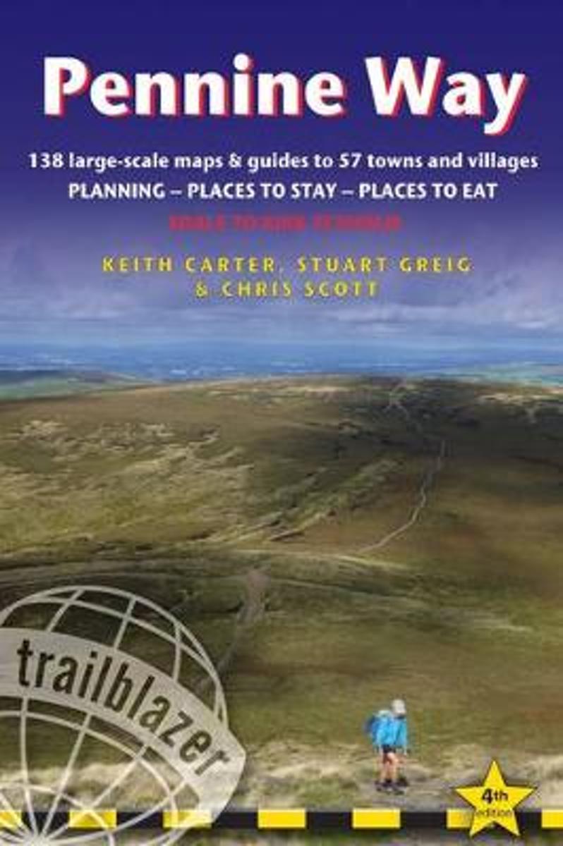
- Pennine Way
- Britain's best-known National Trail winds for 256 miles through three National Parks - the Peak District, Yorkshire Dales and Northumberland. This superb footpath showcases Britain's finest upland scenery, while touching the literary landscape of the Bronte family and Roman history along Hadrian's Wall. *138 large-scale walking maps - at just... Read more
- Also available from:
- Bol.com, Belgium
Bol.com
Belgium
2014
Belgium
2014
- Pennine Way
- Britain's best-known National Trail winds for 256 miles through three National Parks - the Peak District, Yorkshire Dales and Northumberland. This superb footpath showcases Britain's finest upland scenery, while touching the literary landscape of the Bronte family and Roman history along Hadrian's Wall. *138 large-scale walking maps - at just... Read more
Bol.com
Netherlands
2014
Netherlands
2014
- Hadrian's Wall Path
- Hadrian s Wall Path, 84 miles from end to end, follows the course of northern Europe s largest surviving Roman monument, a 2nd-century fortification built in the border country between England and Scotland on the orders of the Emperor Hadrian in AD122.Opened in 2003, the path crosses the beautiful border country between England and... Read more
- Also available from:
- Bol.com, Belgium
Bol.com
Belgium
2014
Belgium
2014
- Hadrian's Wall Path
- Hadrian s Wall Path, 84 miles from end to end, follows the course of northern Europe s largest surviving Roman monument, a 2nd-century fortification built in the border country between England and Scotland on the orders of the Emperor Hadrian in AD122.Opened in 2003, the path crosses the beautiful border country between England and... Read more

Stanfords
United Kingdom
2017
United Kingdom
2017
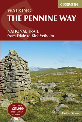
- The Pennine Way: From Edale to Kirk Yetholm
- The Pennine Way is Britain`s oldest, toughest long-distance footpath - and arguably its most iconic. Now a National Trail, the 427km (2651/2 mile) route from Edale in Derbyshire to Kirk Yetholm in the Scottish Borders offers wayfarers the opportunity to immerse themselves in wild beauty of the North. The Pennines boast rolling hills, sweeping... Read more
- Also available from:
- The Book Depository, United Kingdom
- Bol.com, Netherlands
- Bol.com, Belgium
- De Zwerver, Netherlands


Bol.com
Netherlands
2017
Netherlands
2017
- The Pennine Way
- The Pennine Way is Britain's oldest, toughest long-distance footpath - and arguably its most iconic. Now a National Trail, the 427km (2651/2 mile) route from Edale in Derbyshire to Kirk Yetholm in the Scottish Borders offers wayfarers the opportunity to immerse themselves in wild beauty of the North. The Pennines boast rolling hills, sweeping... Read more
Bol.com
Belgium
2017
Belgium
2017
- The Pennine Way
- The Pennine Way is Britain's oldest, toughest long-distance footpath - and arguably its most iconic. Now a National Trail, the 427km (2651/2 mile) route from Edale in Derbyshire to Kirk Yetholm in the Scottish Borders offers wayfarers the opportunity to immerse themselves in wild beauty of the North. The Pennines boast rolling hills, sweeping... Read more
De Zwerver
Netherlands
2022
Netherlands
2022
- Wandelgids The Pennine Way | Cicerone
- Guidebook to the Pennine Way National Trail with OS map booklet. The 270-mile route from Edale to Kirk Yetholm takes three weeks to walk and is suitable for fit and experienced long distance walkers. The route crosses the Peak District, Yorkshire Dales and North Pennines National Parks. Includes separate OS 1:25,000 map booklet of the route. Read more
Bol.com
Netherlands
2017
Netherlands
2017
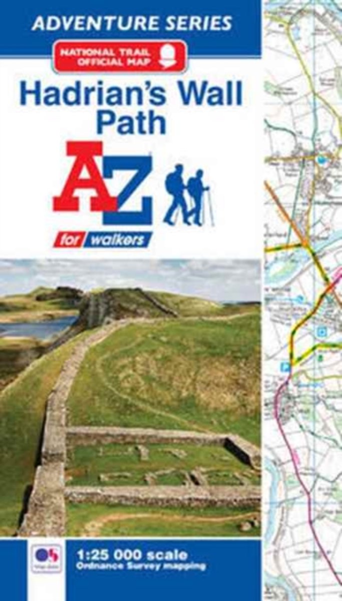
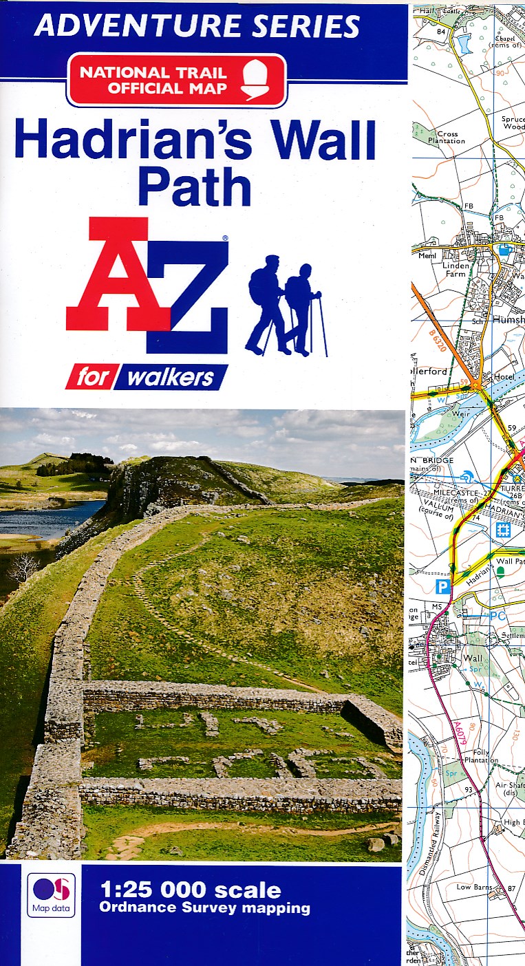
- Hadrian's Wall Path Adventure Atlas
- AZ heeft de meest gedetailleerde wandelkaarten van het Hadrian's Wall Path gebundeld in een atlasje. Daardoor is het heel handig qua formaat. De kaarten zelf zijn perfect voor het wandelen. Schaal 1:25.000 The A-Z Adventure Series of maps combines the best of OS and A-Z, creating the perfect companion for walkers, off-road cyclists, horse... Read more
- Also available from:
- Bol.com, Belgium
- De Zwerver, Netherlands
Bol.com
Belgium
2017
Belgium
2017
- Hadrian's Wall Path Adventure Atlas
- AZ heeft de meest gedetailleerde wandelkaarten van het Hadrian's Wall Path gebundeld in een atlasje. Daardoor is het heel handig qua formaat. De kaarten zelf zijn perfect voor het wandelen. Schaal 1:25.000 The A-Z Adventure Series of maps combines the best of OS and A-Z, creating the perfect companion for walkers, off-road cyclists, horse... Read more
De Zwerver
Netherlands
2017
Netherlands
2017
- Wandelkaart Adventure Atlas Hadrian's Wall Path | A-Z Map Company
- AZ heeft de meest gedetailleerde wandelkaarten van het Hadrian's Wall Path gebundeld in een atlasje. Daardoor is het heel handig qua formaat. De kaarten zelf zijn perfect voor het wandelen. Schaal 1:25.000 The A-Z Adventure Series of maps combines the best of OS and A-Z, creating the perfect companion for walkers, off-road cyclists, horse... Read more
Maps

Stanfords
United Kingdom
2014
United Kingdom
2014
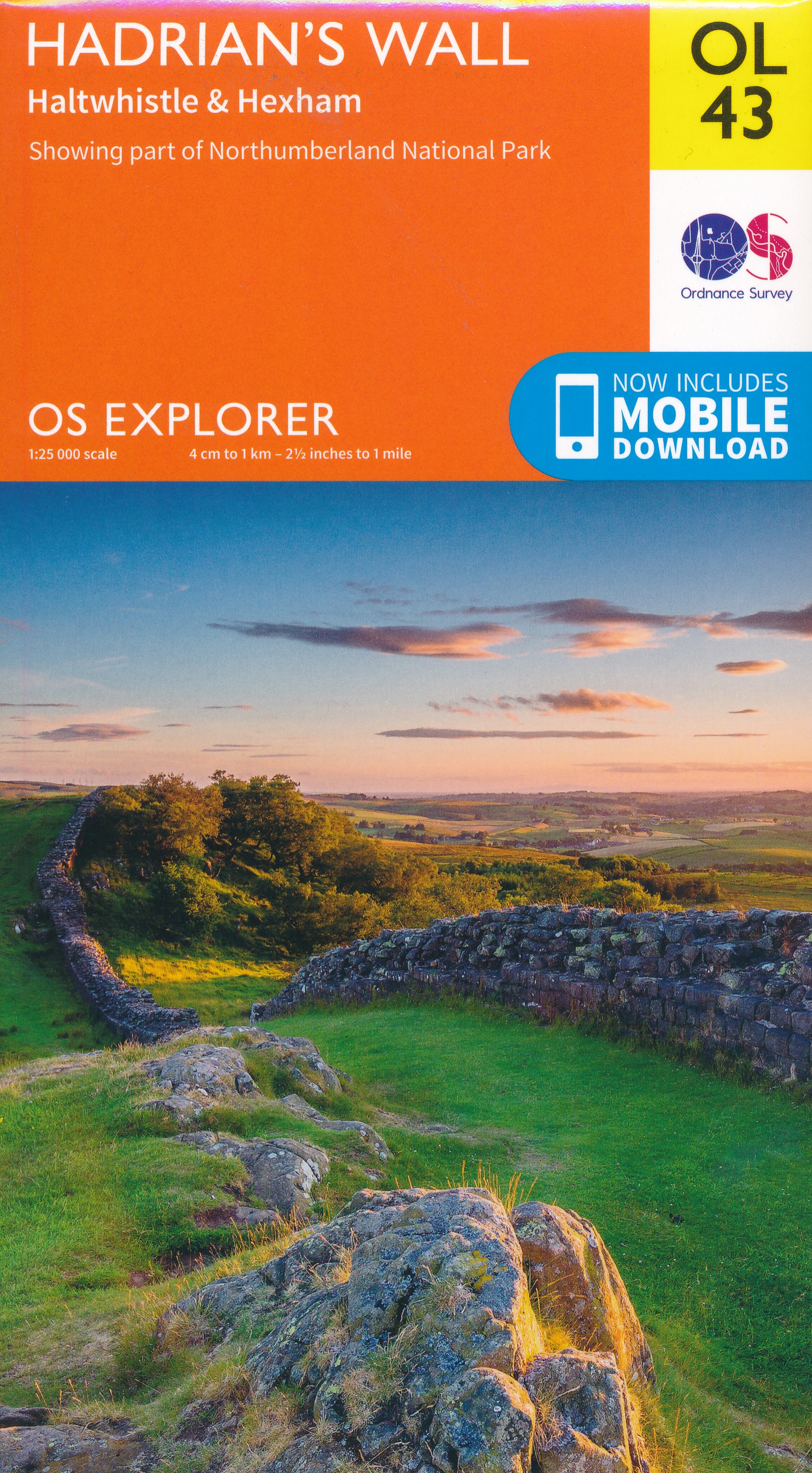
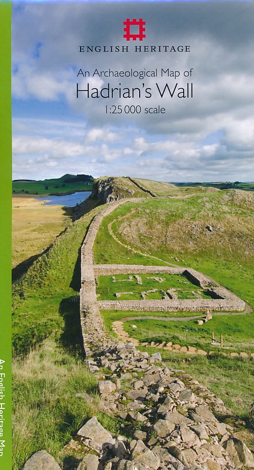
- Hadrian`s Wall Archaeological Map
- Hadrian’s Wall and the nearby archaeological Roman remains on a light, waterproof and tear-resistant map from the English Heritage with the base map from the Ordnance Survey 1:25,000 Explorer series.The map presents in six panels the whole course of the wall including its sections across the present day Newcastle, plus the adjoining area along... Read more
- Also available from:
- The Book Depository, United Kingdom
- De Zwerver, Netherlands

The Book Depository
United Kingdom
2014
United Kingdom
2014
- An Archaeological Map of Hadrian's Wall
- 1:25000 Scale Revised Edition Read more
De Zwerver
Netherlands
2014
Netherlands
2014
- Historische Kaart An Archaeological Map of Hadrian's Wall | English Heritage
- Hadrian’s Wall and the nearby archaeological Roman remains on a light, waterproof and tear-resistant map from the English Heritage with the base map from the Ordnance Survey 1:25,000 Explorer series.The map presents in six panels the whole course of the wall including its sections across the present day Newcastle, plus the adjoining area along... Read more

Stanfords
United Kingdom
2019
United Kingdom
2019
- Hadrian`s Wall Path Harvey National Trail XT40
- Hadrian’s Wall Path, a 135km / 84 mile national trail between Bowness-on-Solway and Wallsend on Tyne which for the greater part of its course shadows the historic line of the Roman wall, presented at 1:40,000 on a map from Harvey Map Services. The route is shown on seven panels, with enlargements for important sections with archaeological... Read more
- Also available from:
- The Book Depository, United Kingdom
- De Zwerver, Netherlands

The Book Depository
United Kingdom
2019
United Kingdom
2019
- Hadrian's Wall
- Een bijzonder handige kaart van dit lange-afstands-wandelpad. Op waterafstotend papier met veel details. Het enige dat je eigenlijk een beetje mist is een overzicht. Verder uitstekend en voldoende voor de route. Compact and light - the map itself weighs just 60gms - a third of the weight of a laminated map, and much less bulky. And you can fold... Read more

De Zwerver
Netherlands
2019
Netherlands
2019
- Wandelkaart Hadrian's Wall | Harvey Maps
- Een bijzonder handige kaart van dit lange-afstands-wandelpad. Op waterafstotend papier met veel details. Het enige dat je eigenlijk een beetje mist is een overzicht. Verder uitstekend en voldoende voor de route. Compact and light - the map itself weighs just 60gms - a third of the weight of a laminated map, and much less bulky. And you can fold... Read more

Stanfords
United Kingdom
2015
United Kingdom
2015
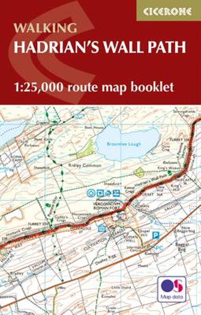
- Hadrian`s Wall Path Cicerone Map Booklet
- Hadrian’s Wall Path National Trail on mapping at 1:25,000 from the Ordnance Survey’s Explorer series in a pocket-size booklet from Cicerone Press. The 135km / 84 mile trail from Bowness-on-Solway to Wallsend, with an extension to South Shields, is presented with a route profile, plus summaries of distance and approximate walking time for each... Read more
- Also available from:
- Bol.com, Netherlands
- Bol.com, Belgium
Bol.com
Netherlands
2015
Netherlands
2015
- Hadrian's Wall Path Map Booklet
- All the mapping you need to complete the 84 mile (135km) Hadrian's Wall Path from Bowness-on-Solway in Cumbria to Wallsend, Newcastle. One of the UK's most visited national trails, it typically takes a week to walk, and is suitable for walkers and trekkers at all levels of experience. This booklet of Ordnance Survey 1:25,000 Explorer maps has... Read more
Bol.com
Belgium
2015
Belgium
2015
- Hadrian's Wall Path Map Booklet
- All the mapping you need to complete the 84 mile (135km) Hadrian's Wall Path from Bowness-on-Solway in Cumbria to Wallsend, Newcastle. One of the UK's most visited national trails, it typically takes a week to walk, and is suitable for walkers and trekkers at all levels of experience. This booklet of Ordnance Survey 1:25,000 Explorer maps has... Read more

Stanfords
United Kingdom
2019
United Kingdom
2019
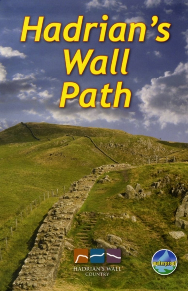
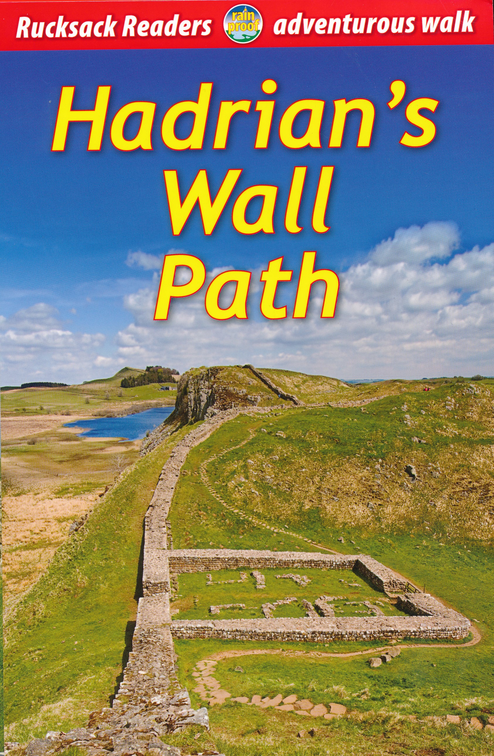
- Hadrian`s Wall Path
- Hadrian`s Wall Path, a 138km / 86 mile long trail from Bowness-on-Solway to Wallsend along the remains of the Roman walls and forts, presented by Rucksack Readers in handy A5 size, spiral-bound, waterproof guide with mapping at 1:100,000. The 64-page guide provides general advice on when to go, availability of accommodation, etc, and includes... Read more
- Also available from:
- The Book Depository, United Kingdom
- Bol.com, Netherlands
- Bol.com, Belgium
- De Zwerver, Netherlands

The Book Depository
United Kingdom
2019
United Kingdom
2019
- Hadrian's Wall Path
- Hadrian's Wall Path, a 138km / 86 mile long trail from Bowness-on-Solway to Wallsend along the remains of the Roman walls and forts, presented by Rucksack Readers in handy A5 size, spiral-bound, waterproof guide with mapping at 1:100,000. The 64-page guide provides general advice on when to go, availability of accommodation, etc, and includes... Read more
Bol.com
Netherlands
2019
Netherlands
2019
- Hadrian's Wall Path
- ?Hadrians Wall Path runs for 86 miles from Bowness-on-Solway to Wallsend along the line of the Roman Wall completed in AD122 under the Emperor Hadrian. This National Trail crosses northern England from Irish Sea to North Sea and offers many chances to look at the forts, milecastles and interpretation centers within this UNESCO World Heritage... Read more
Bol.com
Belgium
2019
Belgium
2019
- Hadrian's Wall Path
- ?Hadrians Wall Path runs for 86 miles from Bowness-on-Solway to Wallsend along the line of the Roman Wall completed in AD122 under the Emperor Hadrian. This National Trail crosses northern England from Irish Sea to North Sea and offers many chances to look at the forts, milecastles and interpretation centers within this UNESCO World Heritage... Read more
De Zwerver
Netherlands
2019
Netherlands
2019
- Wandelgids Hadrian's Wall path | Rucksack Readers
- Hadrian's Wall Path, a 138km / 86 mile long trail from Bowness-on-Solway to Wallsend along the remains of the Roman walls and forts, presented by Rucksack Readers in handy A5 size, spiral-bound, waterproof guide with mapping at 1:100,000. The 64-page guide provides general advice on when to go, availability of accommodation, etc, and includes... Read more
More maps…