Saint Cuthbert's Way
Description
- Name Saint Cuthbert's Way
- Length of trail 100 km, 62 miles
- Length in days 5 days
- Traildino grading EW, Easy walk, nature trail
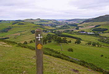
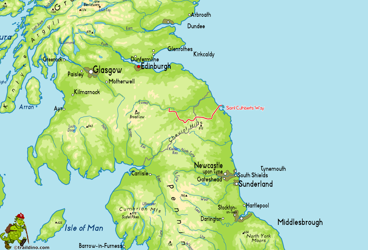
St Cuthbert was a monk who lived in the 7th century, becoming saint twelve years after his death. He lived in the border region of Scotland and England off the coast of Northumberland. The trail winds through soft sloping tranquil farmlands with hedges and dry stone walls. Of course you will find old religious buildings on your path, like the ruined Melrose Abbey, Lindisfarne Priory and Holy Island (only reachable at low tide). The path is popular because of its associations with pilgrimage. Second, the trail is part of the European Long Distance Route E2.
Map
Links
Facts
Reports
Guides and maps
Lodging
Organisations
Tour operators
GPS
Other
Books

Stanfords
United Kingdom
United Kingdom
- Pilgrimage: The Great Pilgrim Routes of Britain and Europe
- Shortlisted for a 2018 Edward Stanford Travel Writing Award.Ten historic pilgrim routes of Western Europe, inspiration for today`s long distance walker. Pilgrimage in Europe is thriving on a massive scale. In 1990 the cathedral at Santiago de Compostela recorded less than 5000 pilgrims: today that figure is at least 200,000 a year. Author Derry... Read more

The Book Depository
United Kingdom
2016
United Kingdom
2016
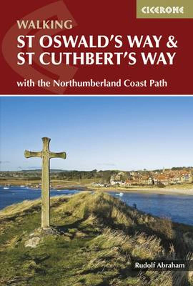
- St Oswald's Way and St Cuthbert's Way
- With the Northumberland Coast Path Read more
- Also available from:
- Bol.com, Netherlands
- Bol.com, Belgium
- De Zwerver, Netherlands
Bol.com
Netherlands
2016
Netherlands
2016
- St Oswald's Way and St Cuthbert's Way
- This guide describes two long-distance trails through the unspoilt scenery of Northumberland and the Borders. St Oswald's Way begins at Heavenfield and its 97 miles take in rolling farmland and the Simonside Hills before reaching the vast sandy beaches of the coast. The 62 mile St Cuthbert's Way begins at Melrose and crosses the rugged crags... Read more

Bol.com
Belgium
2016
Belgium
2016
- St Oswald's Way and St Cuthbert's Way
- This guide describes two long-distance trails through the unspoilt scenery of Northumberland and the Borders. St Oswald's Way begins at Heavenfield and its 97 miles take in rolling farmland and the Simonside Hills before reaching the vast sandy beaches of the coast. The 62 mile St Cuthbert's Way begins at Melrose and crosses the rugged crags... Read more
De Zwerver
Netherlands
2016
Netherlands
2016
- Wandelgids St Oswald's Way and St Cuthbert's Way | Cicerone
- This guidebook describes two long-distance trails through Northumberland and the Borders. St Oswald's Way runs 97 miles from Heavenfield near Hadrian's Wall. St Cuthbert's Way is 62 miles from Melrose. Both routes pass through Northumberland National Park and follow part of the Northumberland Coast Path to meet at Holy Island. Read more
- Also available from:
- Bol.com, Netherlands
- Bol.com, Belgium
- De Zwerver, Netherlands
Bol.com
Netherlands
2021
Netherlands
2021
- St Cuthbert's Way
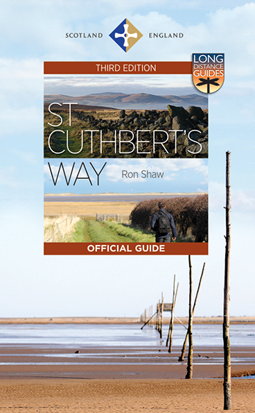
- This 100k (60 mile) walk was opened in 1996 and has rapidly increased in popularity, with thousands of walkers walking all or parts of it every year. Visiting a number of places closely associated with St Cuthbert's life, the journey is full of historical interest and natural beauty. It can be tackled in its entirety, or sections can be walked... Read more

Bol.com
Belgium
2021
Belgium
2021
- St Cuthbert's Way
- This 100k (60 mile) walk was opened in 1996 and has rapidly increased in popularity, with thousands of walkers walking all or parts of it every year. Visiting a number of places closely associated with St Cuthbert's life, the journey is full of historical interest and natural beauty. It can be tackled in its entirety, or sections can be walked... Read more
De Zwerver
Netherlands
2021
Netherlands
2021
- Wandelgids St Cuthbert's Way | Birlinn
- This 100k (60 mile) walk was opened in 1996 and has rapidly increased in popularity, with thousands of walkers walking all or parts of it every year. Visiting a number of places closely associated with St Cuthbert's life, the journey is full of historical interest and natural beauty. It can be tackled in its entirety, or sections can be walked... Read more
De Zwerver
Netherlands
2023
Netherlands
2023
- Wandelgids St. Cuthbert's Way | Rucksack Readers
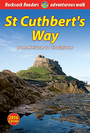
- From Melrose to Lindisfarne Read more
Maps

Stanfords
United Kingdom
United Kingdom
- St Cuthbert`s Way Harvey National Trail XT40
- St. Cuthbert`s Way, a 100km / 62.5 mile route from Melrose in the Scottish Borders through the Northumberland National Park to the Holly Island of Lindisfarne, presented at 1:40,000 on a GPS compatible, light, waterproof and tear-resistant map from Harvey Map Services. The route is shown on six panels, with additional small street plans of... Read more
- Also available from:
- De Zwerver, Netherlands

De Zwerver
Netherlands
Netherlands
- Wandelkaart St Cuthbert's Way | Harvey Maps
- St. Cuthbert's Way, a 100km / 62.5 mile route from Melrose in the Scottish Borders through the Northumberland National Park to the Holly Island of Lindisfarne, presented at 1:40,000 on a GPS compatible, light, waterproof and tear-resistant map from Harvey Map Services. The route is shown on six panels, with additional small street plans of... Read more

Stanfords
United Kingdom
2010
United Kingdom
2010
- St Cuthbert`s Way Rucksack Reader
- St Cuthbert`s Way, a 100km /62 miles trail from Melrose Abbey in the Scottish Borders to the Holy Island of Lindisfarne, presented by Rucksack Readers in handy A5 size, spiral-bound, waterproof guide with mapping at 1:100,000. Coverage includes a high-level option over the Cheviot Hills.The guide provides general advice on when to go,... Read more
- Also available from:
- Bol.com, Netherlands
- Bol.com, Belgium

Bol.com
Netherlands
2010
Netherlands
2010
- St Cuthbert's Way
- Follow the footsteps of St Cuthbert in this easy-going walk of 62 miles (100 km) from Melrose Abbey in the Scottish borders to the Holy Island of Lindisfarne in the North Sea. The route passes many fine abbeys, hill forts and castles, includes a section of Roman road and finishes with the barefoot Pilgrims' Path across tidal sands. The walk can... Read more

Bol.com
Belgium
2010
Belgium
2010
- St Cuthbert's Way
- Follow the footsteps of St Cuthbert in this easy-going walk of 62 miles (100 km) from Melrose Abbey in the Scottish borders to the Holy Island of Lindisfarne in the North Sea. The route passes many fine abbeys, hill forts and castles, includes a section of Roman road and finishes with the barefoot Pilgrims' Path across tidal sands. The walk can... Read more


