
Toscana
Description
Famous and picturesque region between Florence (Firenze) and Sienna.
Trails in this region
Links
Facts
Reports
Guides and maps
Lodging
Organisations
Tour operators
GPS
Other
Books

Stanfords
United Kingdom
2021
United Kingdom
2021
- DK Eyewitness Florence and Tuscany
- Divine cuisine and spectacular art await in Florence and TuscanyWhether you want to sample delicious Tuscan food and wine, gaze at the iconic Leaning Tower of Pisa or browse eclectic markets in Florence, your DK Eyewitness travel guide makes sure you experience all that this region has to offer.The birthplace of the Renaissance, Florence is... Read more

Stanfords
United Kingdom
2005
United Kingdom
2005
- Walking and Eating in Tuscany & Umbria
- In Walking and Eating in Tuscany and Umbria, James Lasdun and Pia Davis offer forty walks through the spectacular countryside of both regions. Arranged for the utmost flexibility the guide includes half-day outings easily accessible from a city base to day walks that can be linked together in a series. These itineraries are designed to combine... Read more

Stanfords
United Kingdom
United Kingdom
- Tuscany Marco Polo Spiral Guide
- Tuscany in the Marco Polo Spiral Guides series is a practical guide presenting the most important things to see and do in the region in a nutshell, and aimed at travellers who don’t have a lot of time to prepare and research for a trip. The guide highlights the top 10 sights, suggests tours and great ideas for exciting days out, and features... Read more

Stanfords
United Kingdom
United Kingdom
- Rick Steves Pocket Florence (fourth Edition)
- Make the most of every day and every dollar with Rick Steves! This colorful, compact guidebook is perfect for spending a week or less in Florence: City walks and tours: Five detailed tours and walks showcase Florence`s essential sights, including the Uffizi Gallery, the Duomo, and Michelangelo`s David at the Accademia, plus handy neighborhood... Read more

Stanfords
United Kingdom
United Kingdom
- Cortina d`Ampezzo Kompass 55
- Map No. 55, Cortina d`Ampezzo - with a panorama map on the reverse, from Kompass, printed on sturdy, waterproof and tear-resistant synthetic paper in their series of walking maps of selected areas of Italy at 1:50,000, with hiking routes on a topographic base, various types of accommodation, recreational facilities, places of interest, etc.... Read more

Stanfords
United Kingdom
United Kingdom
- Sardinia North 4-Map Set Kompass 2497
- The northern part of Sardinia on a set of four double-sided, contoured and GPS compatible recreational maps at 1:50,000 from Kompass. Extensive overprint highlights hiking trails, cycle and selected mountain bike routes, and horse riding paths. Symbols indicate various types of accommodation including campsites, youth hostels, “Friends of... Read more

Stanfords
United Kingdom
United Kingdom
- Parco Nazionale del Stelvio / NP Stilfser Joch Kompass 072
- Parco Nazionale del Stelvio (NP Stilfser Joch) on a GPS compatible hiking and recreational map at 1:50,000 from Kompass printed on durable, waterproof and tear-resistant synthetic paper.KOMPASS HIKING MAPS OF ITALY:This title is part of an extensive series of walking maps from Kompass covering selected areas of Italy at mainly 1:50,000, with a... Read more

Stanfords
United Kingdom
2018
United Kingdom
2018
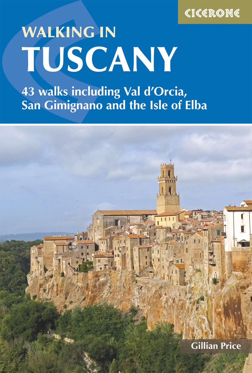
- Walking in Tuscany
- A guidebook to walks in the Italian region of Tuscany. 43 graded routes range from 2.5 to 18km, and take in the Renaissance splendour of Florence and Siena, the World Heritage scenery of Val d`Orcia and San Gimignano and the stunning island of Elba. Alongside detailed route descriptions and clear mapping there is essential practical information... Read more
- Also available from:
- The Book Depository, United Kingdom
- De Zwerver, Netherlands

The Book Depository
United Kingdom
2018
United Kingdom
2018
- Walking in Tuscany
- 43 walks including Val d'Orcia, San Gimignano and the Isle of Elba Read more
De Zwerver
Netherlands
2018
Netherlands
2018
- Wandelgids Walking in Tuscany - Toscane | Cicerone
- Guidebook to 43 graded, mostly easy walks in Tuscany. Taking in the Renaissance splendour of Florence and Siena, the World Heritage scenery of Val d'Orcia and San Gimignano and the stunning island of Elba, the routes use historical pathways used by traders, pilgrims and armies, and include some brief, trouble-free climbs/descents. Read more

Stanfords
United Kingdom
2018
United Kingdom
2018
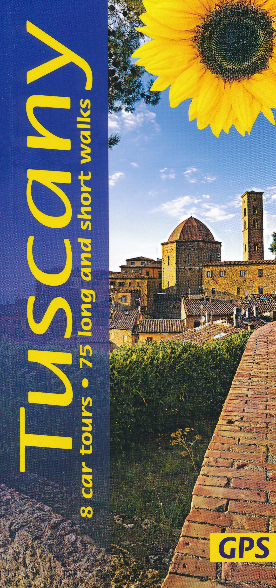
- Tuscany Sunflower Landscape Guide
- This book features walks and car tours from Carrara marble quarries in the northwest down to southern Tuscany, with particular emphasis on the countryside around Florence and in the Chianti. While the region`s historic towns and architectural highlights are often focal points for these excursions, the role of the Tuscan peasant in creating this... Read more
- Also available from:
- The Book Depository, United Kingdom
- De Zwerver, Netherlands


Stanfords
United Kingdom
2021
United Kingdom
2021
- Lonely Planet Best Day Walks Italy
- Lonely Planet`s Best Day Walks Italy is your passport to 60 easy escapes into nature. Stretch your legs outside the city by picking a hike that works for you, from just a couple of hours to a full day, from easy to hard. Hike the Dolomites, explore the Italian Lakes, and stroll Sardinia`s coast. Get to the heart of Italy and begin your journey... Read more
- Also available from:
- The Book Depository, United Kingdom
- De Zwerver, Netherlands


Stanfords
United Kingdom
2019
United Kingdom
2019
- Walking in Umbria: 40 walks in the `Green Heart` of Italy
- This guidebook by Italian walking expert Gillian Price describes 40 varied day walks in the region of Umbria, taking in the towns of Assisi, Perugia, Orvieto and Norcia. The walks range from 2.5km to 19km in length, the majority of the routes are circular, and several wonderful traverses have been included, with the return to the start point... Read more
- Also available from:
- The Book Depository, United Kingdom
- De Zwerver, Netherlands

The Book Depository
United Kingdom
2019
United Kingdom
2019
- Walking in Umbria
- 40 walks in the 'Green Heart' of Italy Read more

De Zwerver
Netherlands
2019
Netherlands
2019
- Wandelgids Walking in Umbria - Umbrië | Cicerone
- This guidebook describes 40 walks in Umbria, among the ancient towns of Assisi, Perugia, Orvieto and Norcia. Known as the 'green heart' of Italy, the region of Umbria is home to hills reaching up to the Apennines and Sibillini mountains, as well as ancient villages, Roman and Etruscan ruins, dense woodland and nature reserves. Read more
De Zwerver
Netherlands
2017
Netherlands
2017
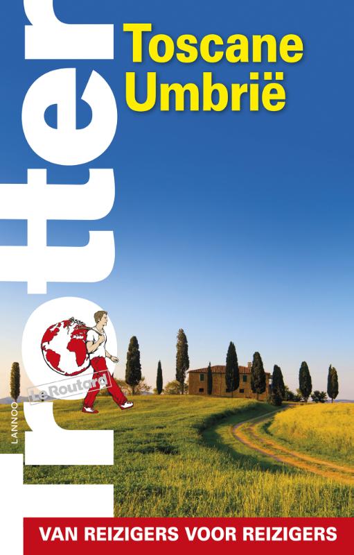
- Reisgids Trotter Toscane Umbrië | Lannoo
- Veel aandacht voor praktische informatie als hotels en restaurants, maar ook, soms wat beperkte beschrijvingen van bezienswaardigheden. Handig zijn de vele plattegronden: verrassend en verfrissend geschreven! -De no-nonsensegids voor een allesomvattende trip - Praktische en overzichtelijke gids voor de zelfstandige reiziger die weet wat hij... Read more
De Zwerver
Netherlands
2022
Netherlands
2022
Bol.com
Netherlands
Netherlands
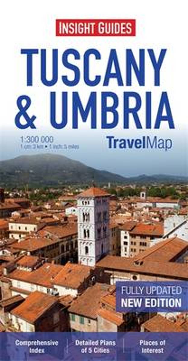
- Insight Guides Travel Map Tuscany & Umbria
- Travel Map Tuscany & Umbria is an indexed, road map at 1:300 000. It includes an overview map of Italy and detailed city plans of Florence, Lucca, Perugia, Pisa & Siena, each with its own separate index listing. Places of interest, including nature reserves, national parks, museums, monuments and religious site, are listed and depicted by a... Read more
- Also available from:
- Bol.com, Belgium
Bol.com
Belgium
Belgium
- Insight Guides Travel Map Tuscany & Umbria
- Travel Map Tuscany & Umbria is an indexed, road map at 1:300 000. It includes an overview map of Italy and detailed city plans of Florence, Lucca, Perugia, Pisa & Siena, each with its own separate index listing. Places of interest, including nature reserves, national parks, museums, monuments and religious site, are listed and depicted by a... Read more
More books…
Maps

Stanfords
United Kingdom
United Kingdom
- Mont Blanc Kompass 85
- Map No. 85, Mont Blanc, from Kompass printed on sturdy, waterproof and tear-resistant plastic paper in a series of walking maps of selected areas of Italy at 1:50,000, with hiking routes on a topographic base, various types of accommodation, recreational facilities, places of interest, etc. Kompass are Europe’s largest publishers of walking... Read more

Stanfords
United Kingdom
United Kingdom
- Elba Kompass 2468
- Elba on a map at 1:25,000 from Kompass, with a street plan of Portoferraio and coverage of the nearby Capraia and Pianosa at 1:50,000. Contours are at 20m intervals, with relief shading and graphics/colouring to indicate different types of the terrain. An overprint highlights hiking trails, including the GTE – Grande Traversata Elbana,... Read more

Stanfords
United Kingdom
United Kingdom
- Siena - Volterra - Massa Marittima - Roccastrada Kompass 2462
- Siena - Volterra - Massa Marittima - Rocca Strada map at 1:50,000 from Kompass, printed on durable, waterproof and tear-resistant synthetic paper. Coverage includes Colle di Va d’Elsa, Casole d’Elsa, Metallifere hills, etc. Contours are at 40m intervals, with a 2-km UTM grid. Extensive overprint includes GEA - Grande Escursione Appenninica,... Read more

Stanfords
United Kingdom
United Kingdom
- Monti Lessini - Gruppo della Carega - Recoaro Terme Kompass 100
- Map No. 100, Monti Lessini - Gruppo della Carega - Recoaro Terme, from Kompass in a series of walking maps of selected areas of Italy at 1:50,000, with hiking routes on a topographic base, various types of accommodation, recreational facilities, places of interest, etc. Kompass are Europe’s largest publishers of walking maps, with extensive... Read more

Stanfords
United Kingdom
United Kingdom
- Lake Trasimeno - Val d`Orcia - Montepulciano - Monte Amiata Kompass 2463
- Lake Trasimeno - Val d`Orcia - Montepulciano - Monte Amiata area on a double-sided map at 1:50,000 from Kompass, printed on durable, waterproof and tear-resistant synthetic paper. Coverage includes Val di Chiana, Cortona, Montalcino, Asciano, Arcidosso, Fabro, Magione, etc. Contours are at 40m intervals, with a 2-km UTM grid. Extensive... Read more

Stanfords
United Kingdom
United Kingdom
- Riviera di Ponente - Albisola Marina to Noli Edizioni Multigraphic 103
- Map No. 103, covering at 1:25,000 the coast of the Italian Riviera from Albisola Marina across Savona to Noli and inland to Altare. The map is part of a series of walking maps from Edizioni Multigraphic covering the Ligurian Alps and the coast, the crest of the Apennines along the border between Tuscany with the neighbouring regions, and parts... Read more

Stanfords
United Kingdom
United Kingdom
- Rome and Environs 25K Ed. Multigraphic Map No. 501
- Rome and Environs at 1:25,000 in a series of hiking maps from Edizioni Multigraphic covering mainly Tuscany, parts of Umbria, and the adjoining areas. *The title of the map is rather misleading as Rome isn`t actually included on it. The area covered is south-east of the city`s outskirts and includes the Frascati region, Castel Gandolfo, and the... Read more

Stanfords
United Kingdom
United Kingdom
- Monte Carpegna - Sasso di Simone
- Map No. 16, Monte Carpegna - Sasso di Simone, in series of contoured, GPS compatible hiking maps at 1:25,000 from the Istituto Geografico Adriatico, covering mainly the spine of the Apennines along the borders of Tuscany, Emilia-Romagna, Umbria and the Marches.Map in this series have contours at 25m intervals with additional shading and... Read more
Stanfords
United Kingdom
United Kingdom
- Alpe della Luna 17
- Map No. 16, Monte Carpegna - Sasso di Simone, in series of contoured, GPS compatible hiking maps at 1:25,000 from the Istituto Geografico Adriatico, covering mainly the spine of the Apennines along the borders of Tuscany, Emilia-Romagna, Umbria and the Marches.Map in this series have contours at 25m intervals with additional shading and... Read more

Stanfords
United Kingdom
United Kingdom
- Garfagnana Edizioni Multigraphic 701
- Garfagnana at 1:50,000 in a series of hiking maps from Edizioni Multigraphic covering Tuscany, parts of Umbria, and the adjoining areas. The cartography is rather old fashioned and sometimes not as clear as in the other map series but for many areas, especially for parts of Tuscany, these are the only hiking maps available. Most maps have... Read more

Stanfords
United Kingdom
United Kingdom
- Perugia - Assisi - Città di Castello - Gubbio Kompass 2464
- Perugia - Assisi - Città di Castello – Gubbio area in Umbria and the Marches on a double-sided, GPS compatible hiking and recreational map at 1:50,000 from Kompass on durable, waterproof and tear-resistant synthetic paper. Contours are at 40m intervals, with a 2-km UTM grid. In addition to the region’s numerous local hiking trails and several... Read more

Stanfords
United Kingdom
United Kingdom
- Sorrento Peninsula - Amalfi Coast - Vesuvius - Pompeii - Salerno - Sorrento Kompass 682
- Sorrento Peninsula on a hiking and recreational map at 1:50,000 from Kompass on durable, waterproof and tear-resistant synthetic paper. Coverage includes Vesuvius and Pompeii and separate panels provide street plans of Sorrento, Positano, Amalfi, Ravello, Salerno and Castellammarte di Stabia. Accompanying booklet includes 16 pages in English... Read more

Stanfords
United Kingdom
United Kingdom
- Alpe Veglia and Alpe Devero NP - Valle Antigorio - Val Formazza Kompass 89
- Map No. 89, Domodóssola, from Kompass, printed on waterproof and tear-resistant synthetic paper in a series of walking maps of selected areas of Italy at 1:50,000, with hiking routes on a topographic base, various types of accommodation, recreational facilities, places of interest, etc. Kompass are Europe’s largest publishers of walking maps,... Read more

Stanfords
United Kingdom
United Kingdom
- Tuscany Bikeline Cycling Atlas: 25 Tours (1735km)
- Tuscany Cycling Atlas with 25 tours across the whole region totaling 1735kms, presented by the Verlag Esterbauer in guide with maps at 1:75,000 showing the route and its variants. Extensive information is conveyed by symbols, indicating road surface, campsites and other accommodation, repair workshops, recreational facilities, places of... Read more

Stanfords
United Kingdom
United Kingdom
- Varallo - Verbania - Lake Orta - NP Val Grande Kompass 97
- Varallo - Verbania - Lake Orta, including the western shores of Lake Maggiore and Val Grande National Park, on a GPS compatible hiking and recreational map at 1:50,000 from Kompass, printed on durable, waterproof and tear-resistant synthetic paper.KOMPASS HIKING MAPS OF ITALY:This title is part of an extensive series of walking maps from... Read more