Stanfords
United Kingdom
2018
» Click to open
The Book Depository
United Kingdom
2018
» Click to close
Stanfords
United Kingdom
2009
» Click to open
The Book Depository
United Kingdom
2009
De Zwerver
Netherlands
2009
  • Wandelgids Perthshire : 40 Town and Country Walks | Pocket Mountains
  • Perthshire is at the very heart of Scotland and one of the most popular regions for visitors, offering a variety of Highland and Lowland landscapes with some of the most scenic and accessible countryside for shorter walks as well as evidence of its rich history at every turn. Perthshire 40 Town and Country Walks features traditional tourist... Read more
» Click to close
The Book Depository
United Kingdom
2014
» Click to open
» Click to close
The Book Depository
United Kingdom
2016
» Click to open
» Click to close
The Book Depository
United Kingdom
Bol.com
Netherlands
» Click to open
Bol.com
Belgium
  • Pathfinder 
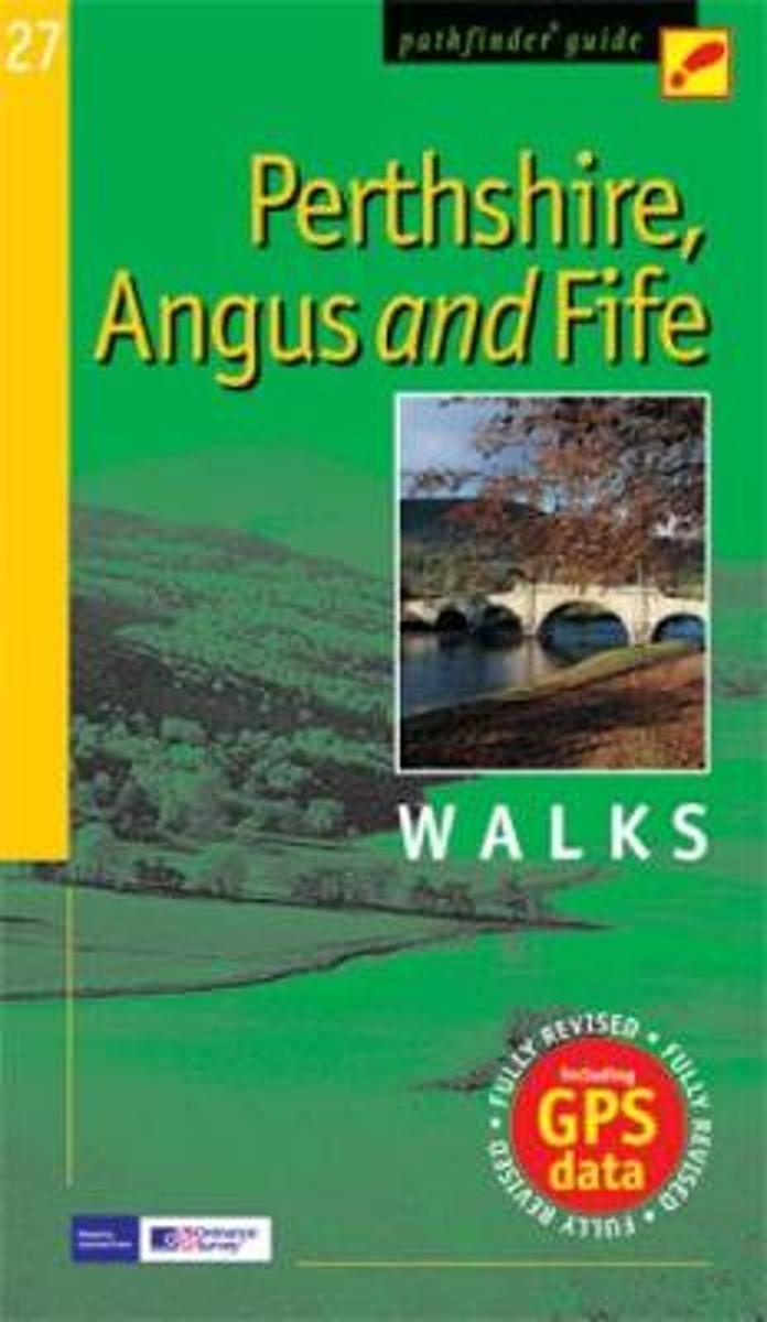
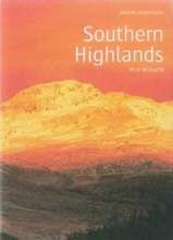
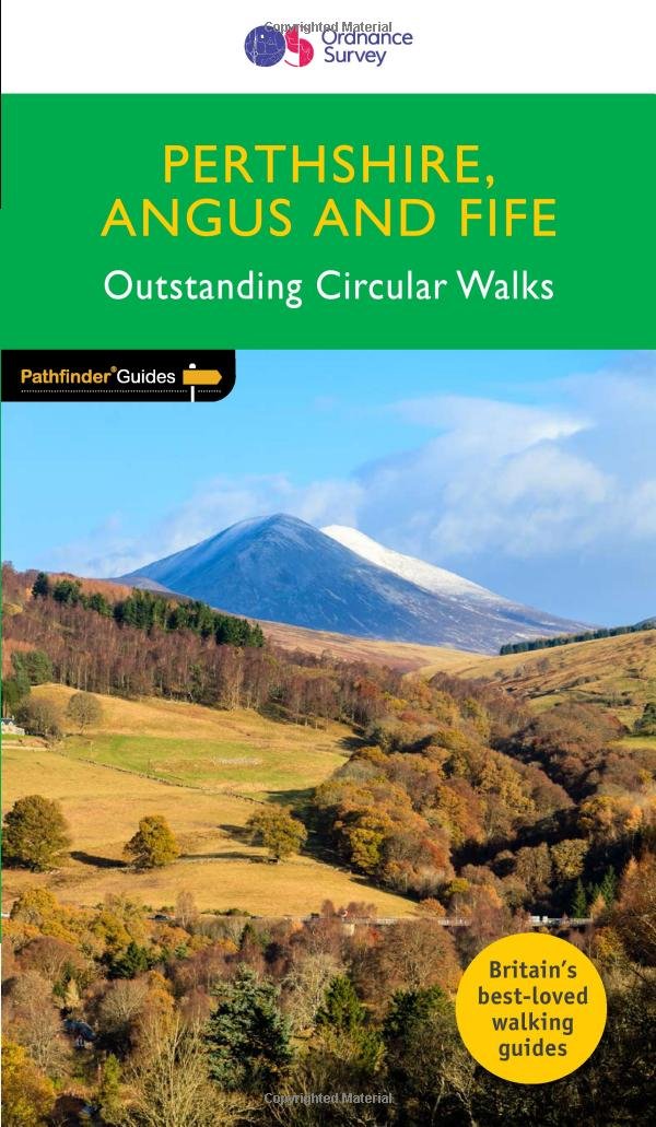
Perthshire, Angus & Fife
  • Approaching the eastern part of central Scotland, where the Grampians dominate the horizon, it appears at first glance to be mountain country. In fact much of the area is low-lying, with flat woodland and agricultural land bordered by gentle, rounded hills and an attractive North Sea coastline. Perthshire has enough lochs to vie with Cumbria's... Read more
» Click to close
Stanfords
United Kingdom
2015
» Click to open
The Book Depository
United Kingdom
2015
Bol.com
Netherlands
2015
  • Cateran Trail
  • The Cateran Trail follows the footsteps of cattle rustlers (caterans) for 64 miles (104 km), starting from Blairgowrie. It runs through the heart of Scotland, rich in history, legend and wildlife. This waymarked trail can be completed comfortably in 5 days. The revised edition includes 8 pages of mapping at 1:50,000. Read more
Bol.com
Belgium
2015
  • Cateran Trail
  • The Cateran Trail follows the footsteps of cattle rustlers (caterans) for 64 miles (104 km), starting from Blairgowrie. It runs through the heart of Scotland, rich in history, legend and wildlife. This waymarked trail can be completed comfortably in 5 days. The revised edition includes 8 pages of mapping at 1:50,000. Read more
De Zwerver
Netherlands
2015
» Click to close
Bol.com
Netherlands
» Click to open
Bol.com
Belgium
  • The Cateran Trail
  • This specially created waterproof map and guide of the route contains compact, concise and essential information for walkers. Read more
» Click to close
Stanfords
United Kingdom
2021
» Click to open
De Zwerver
Netherlands
2021
  • Wandelgids Walking Ben Lawers, Rannoch and Atholl | Cicerone
  • The south-eastern Grampians of the former county of Perthshire may be grassier and less rugged than other Scottish mountains, but they are just as big. The routes in this guide take you to the summits of these `jolly green giants` - covering all of the region`s Munros, often by unconventional routes, as well as several Corbetts and smaller... Read more
» Click to close
Stanfords
United Kingdom
2003
» Click to open
De Zwerver
Netherlands
2003
  • Wandelgids Southern Highlands | Pocket Mountains
  • Mooi uitgevoerde wandelgids in een handzaam formaat: 15 x 10 cm. De wandelingen zijn duidelijk beschreven, soms een beetje summier. This Pocket Mountains guide to the Southern Highlands of Scotland covers Glenlyon to Rannoch, Kinross to Callander, The Arrochar Alps, The Trossachs to the Mamlorn Hills, Hills of Crianlarich and Tyndrum -40... Read more
» Click to close
Bol.com
Netherlands
2015
» Click to open
Bol.com
Belgium
2015
  • The Tay
  • As well as being Scotland's longest river, the Tay also carries the largest volume of water of any river in the UK more than the Thames and Severn combined when it reaches the Firth of Tay. From its source high up the slopes of Ben Lui near Tyndrum, the Tay makes its way through Stirlingshire and Perthshire to meet the North Sea near Dundee. As... Read more
De Zwerver
Netherlands
2015
» Click to close