Stanfords
United Kingdom
2015
United Kingdom
2015
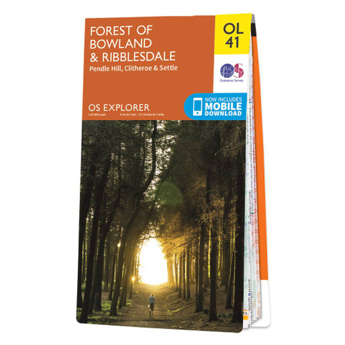
- Forest of Bowland & Ribblesdale - Pendle Hill, Clitheroe & Settle OS Explorer Map OL41 (paper)
- The Forest of Bowland and Ribblesdale on a detailed topographic and GPS compatible map OL41, paper version, from the Ordnance Survey’s 1:25,000 Explorer series. Coverage extends from Lancaster in the west to Settle and Barnoldswick, and includes Barrowford, Clitheroe, Catterall, Hornby, Stocks Reservoir, sections of the Pennine Bridleway... Read more
- Also available from:
- The Book Depository, United Kingdom
- De Zwerver, Netherlands