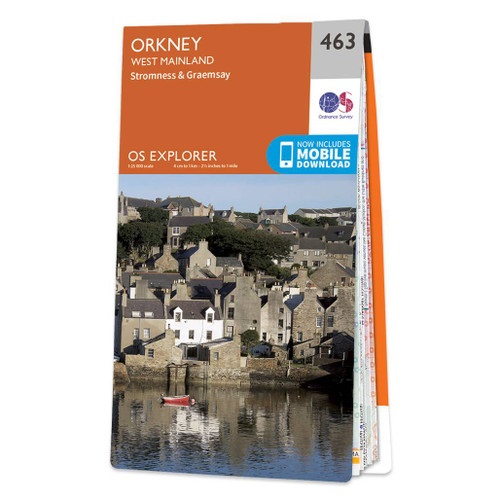
Orkney: the western part of Mainland with Stromness, plus the island of Graemsay on a detailed topographic and GPS compatible map No. 463, paper version, from the Ordnance Survey’s 1:25,000 Explorer series. MOBILE DOWNLOADS: this title and all the other OS Explorer maps include a code for downloading after purchase the digital version onto your...Read more
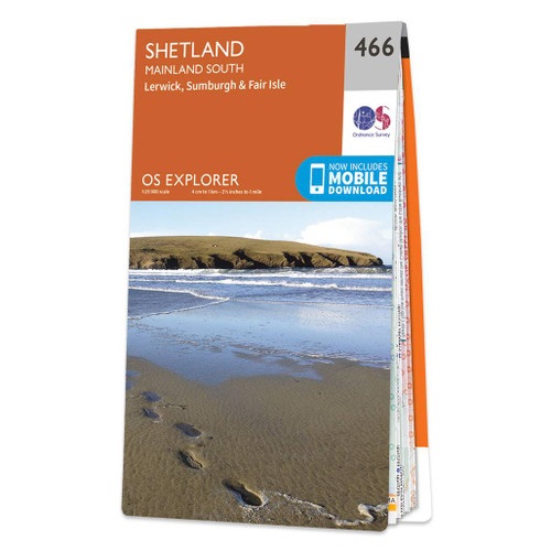
Shetland: South Mainland with Lerwick and, Sumburgh, Fair Isle, and the nearby smaller islands on a detailed topographic and GPS compatible map No. 466, waterproof version, from the Ordnance Survey’s 1:25,000 Explorer series.MOBILE DOWNLOADS: this title and all the other OS Explorer maps include a code for downloading after purchase the digital...Read more
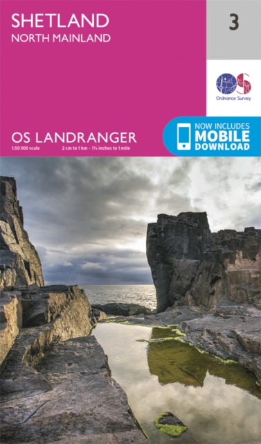
Paper version of map No. 3 from the Ordnance Survey’s Landranger series at 1:50,000, with contoured and GPS compatible topographic mapping plus tourist information.MOBILE DOWNLOADS: As well as the physical edition of the map, each Landranger title now includes a code for downloading after purchase its digital version onto your smartphone or...Read more
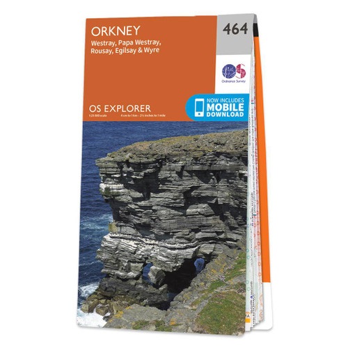
Orkney: the islands of Westray, Papa Westray, Rousay, Egilsay and Wyre with the nearby smaller islands on a detailed topographic and GPS compatible map No. 464, paper version, from the Ordnance Survey’s 1:25,000 Explorer series.MOBILE DOWNLOADS: this title and all the other OS Explorer maps include a code for downloading after purchase the...Read more
Shetland: Central Mainland with Lerwick, plus Papa Stour, Foula and the nearby smaller islands on a detailed topographic and GPS compatible map No. 467, waterproof version, from the Ordnance Survey’s 1:25,000 Explorer series.MOBILE DOWNLOADS: this title and all the other OS Explorer maps include a code for downloading after purchase the digital...Read more
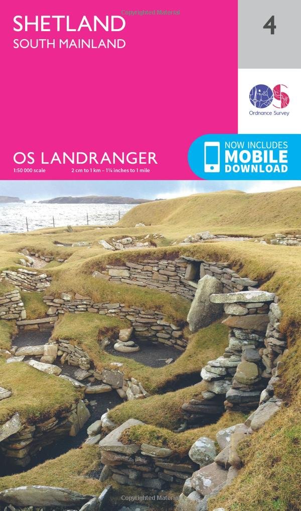
Paper version of map No. 4 from the Ordnance Survey’s Landranger series at 1:50,000, with contoured and GPS compatible topographic mapping plus tourist information.MOBILE DOWNLOADS: As well as the physical edition of the map, each Landranger title now includes a code for downloading after purchase its digital version onto your smartphone or...Read more
Shetland: Unst, Yell and Fetlar with the nearby smaller islands on a detailed topographic and GPS compatible map No. 470, waterproof version, from the Ordnance Survey’s 1:25,000 Explorer series. MOBILE DOWNLOADS: this title and all the other OS Explorer maps include a code for downloading after purchase the digital version onto your smartphone...Read more
Waterproof and tear-resistant OS Active version of map No. 1 from the Ordnance Survey’s Landranger series at 1:50,000, with contoured and GPS compatible topographic mapping plus tourist information.MOBILE DOWNLOADS: As well as the physical edition of the map, each Landranger title now includes a code for downloading after purchase its digital...Read more
Orkney: East Mainland with Kirkwall, plus South Ronaldsay, Shapinsay and the nearby islands on a detailed topographic and GPS compatible map No. 461, paper version, from the Ordnance Survey’s 1:25,000 Explorer series. MOBILE DOWNLOADS: this title and all the other OS Explorer maps include a code for downloading after purchase the digital...Read more
Shetland: Central Mainland with Lerwick, plus Papa Stour, Foula and the nearby smaller islands on a detailed topographic and GPS compatible map No. 467, paper version, from the Ordnance Survey’s 1:25,000 Explorer series. MOBILE DOWNLOADS: this title and all the other OS Explorer maps include a code for downloading after purchase the digital...Read more
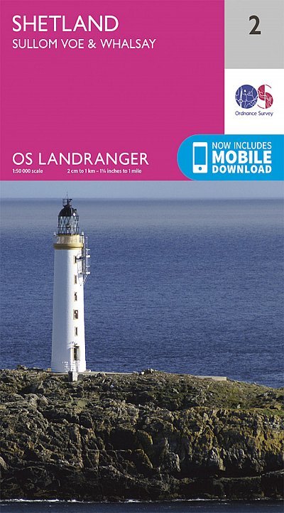
Waterproof and tear-resistant OS Active version of map No. 2 from the Ordnance Survey’s Landranger series at 1:50,000, with contoured and GPS compatible topographic mapping plus tourist information.MOBILE DOWNLOADS: As well as the physical edition of the map, each Landranger title now includes a code for downloading after purchase its digital...Read more
Paper version of map No. 5 from the Ordnance Survey’s Landranger series at 1:50,000, with contoured and GPS compatible topographic mapping plus tourist information.MOBILE DOWNLOADS: As well as the physical edition of the map, each Landranger title now includes a code for downloading after purchase its digital version onto your smartphone or...Read more
Shetland: north-west Mainland with North Roe, Sullom Voe, and the nearby smaller islands on a detailed topographic and GPS compatible map No. 469, paper version, from the Ordnance Survey’s 1:25,000 Explorer series. MOBILE DOWNLOADS: this title and all the other OS Explorer maps include a code for downloading after purchase the digital version...Read more