
Stanfords
United Kingdom
- Trier and Environs
- Trier and its Environs on a waterproof, tear-resistant, GPS compatible cycling map at 1:75,000 from the ADFC (Allgemeiner Deutscher Fahrrad-Club - the official German cycling federation), in a series of maps with extensive overprint for long-distance and local cycling routes. GPS waypoints, route profiles, details of online links for... Read more

Stanfords
United Kingdom
- Central Moselle Valley - Trier to Zell K+F Outdoor Map 22
- The central Moselle Valley between Trier and Zell at 1:35,000 from Kümmerly+Frey in a series GPS compatible, double-sided maps printed on durable, waterproof and tear-resistant plastic paper; contoured, with hiking and cycle routes, other recreational activities, etc.Maps in this series are at a scale of either 1:50,000 or 1:35,000. Contour... Read more

Stanfords
United Kingdom
- Saar-Hunsrück Nature Park (2-map set)
- Saar-Hunsrück Nature Park on a set of two GPS compatible, topographic recreational maps at 1:50,000 from the survey organizations of Rhineland-Palatinate and Saarland with cartography identical to the standard topographic survey of Germany but with additional extensive overprint highlighting local and long-distance hiking trails, cycle routes,... Read more

Stanfords
United Kingdom
- Saar-Hunsrück Nature Park East
- The eastern part of the Saar-Hunsrück Nature Park on a GPS compatible, topographic recreational map at 1:50,000 from the survey organizations of Rhineland-Palatinate and Saarland with cartography identical to the standard topographic survey of Germany but with additional extensive overprint highlighting local and long-distance hiking trails,... Read more
Bol.com
Netherlands
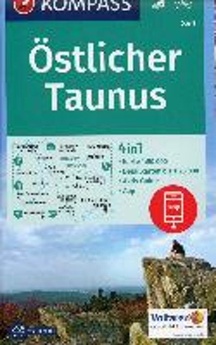
- Östlicher Taunus 1:50 000
- Deze Kompass wandelkaart, schaal 1:50 000, is ideaal om uw route uit te stippelen en om onderweg te gebruiken; naast de bekende bestemmingen, worden ook de minder bekende vermeld; openbaar vervoer bij begin- of eindpunt van een route aangegeven; eenvoudige wandelingen tot pittige (berg)tochten, voor getrainde en ongetrainde wandelaars; met heel... Read more
Bol.com
Belgium
- Östlicher Taunus 1:50 000
- Deze Kompass wandelkaart, schaal 1:50 000, is ideaal om uw route uit te stippelen en om onderweg te gebruiken; naast de bekende bestemmingen, worden ook de minder bekende vermeld; openbaar vervoer bij begin- of eindpunt van een route aangegeven; eenvoudige wandelingen tot pittige (berg)tochten, voor getrainde en ongetrainde wandelaars; met heel... Read more

Stanfords
United Kingdom
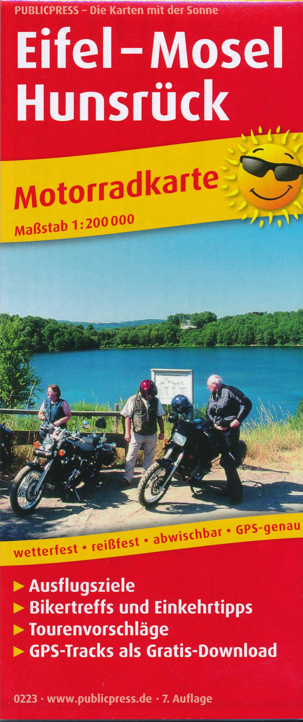
- Eifel - Moselle Cycling Map 14
- Alta Via`s topographical cycling maps emphasize car-free cycling routes or the so-called Voies Vertes (Green Routes), a cycling network that runs through Belgium and Luxembourg. All LF and Ravel cycle routes are included, supplemented with old railways and towpaths that have been transformed into bike paths. The map also lists all youth... Read more

De Zwerver
Netherlands
- Fietskaart 14 Eifel & Moesel | Alta Via
- Alta Via`s topographical cycling maps emphasize car-free cycling routes or the so-called Voies Vertes (Green Routes), a cycling network that runs through Belgium and Luxembourg. All LF and Ravel cycle routes are included, supplemented with old railways and towpaths that have been transformed into bike paths. The map also lists all youth... Read more
De Zwerver
Netherlands
De Zwerver
Netherlands
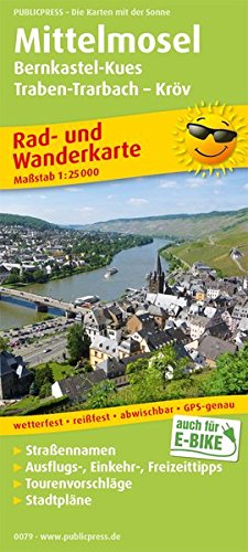
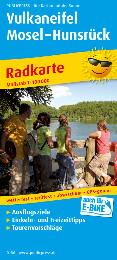
- Fietskaart 079 Mittelmosel | Publicpress
- Mittelmosel, Bernkastel-Kues - Traben-Trarbach - Kröv ab 8 EURO Rad- und Wanderkarte mit Ausflugszielen, Einkehr- & Freizeittipps und Stadtplänen, wetterfest, reissfest, abwischbar, GPS-genau. 1:25000 PUBLICPRESS Rad- und Wanderkarte. 7. Auflage Read more
De Zwerver
Netherlands
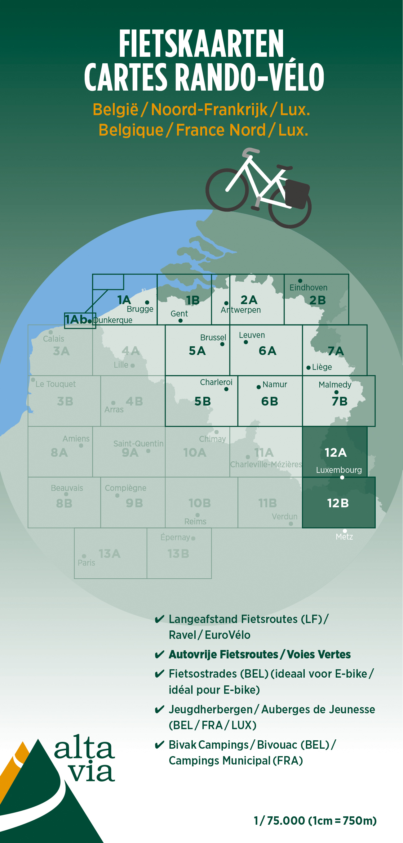
- Fietskaart 12 Luxemburg & Moezel | Alta Via
- Alta Via`s topographical cycling maps emphasize car-free cycling routes or the so-called Voies Vertes (Green Routes), a cycling network that runs through Belgium and Luxembourg. All LF and Ravel cycle routes are included, supplemented with old railways and towpaths that have been transformed into bike paths. The map also lists all youth... Read more

De Zwerver
Netherlands
Bol.com
Netherlands
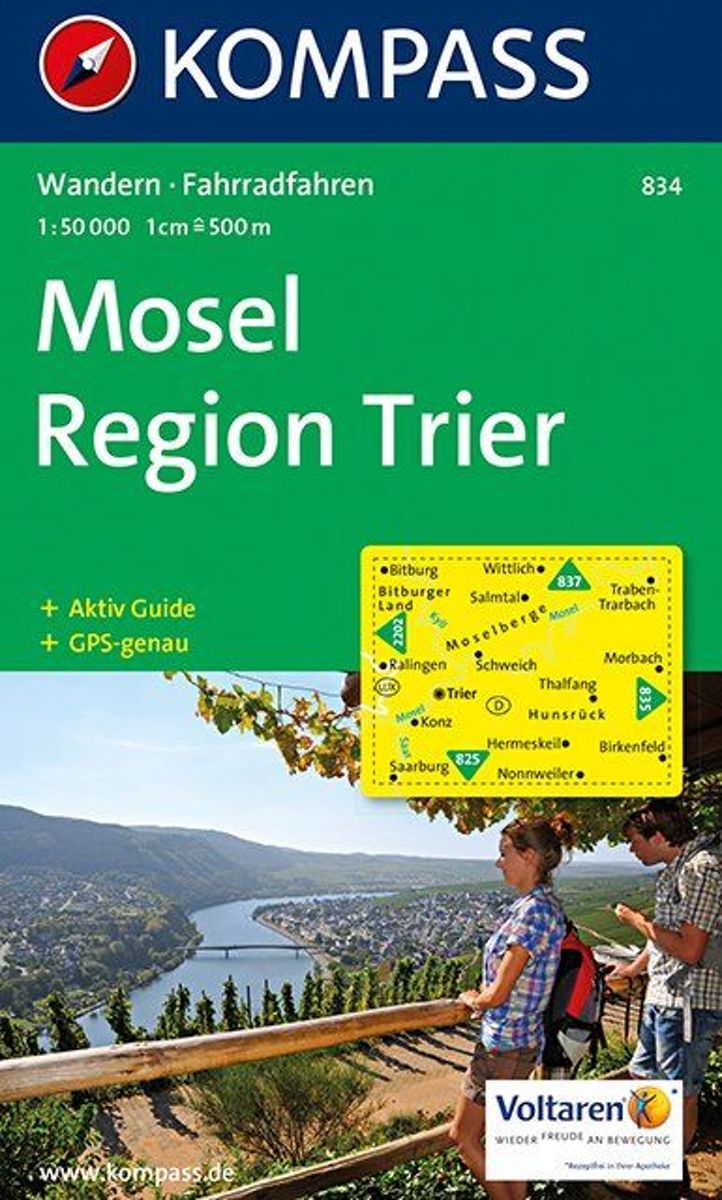
- Kompass WK834 Mosel, Region Trier
- Deze Kompass wandelkaart, schaal 1:50 000, is ideaal om uw route uit te stippelen en om onderweg te gebruiken • naast de bekende bestemmingen, worden ook de minder bekende vermeld • openbaar vervoer bij begin- of eindpunt van een route aangegeven • eenvoudige wandelingen tot pittige (berg)tochten, voor getrainde en ongetrainde wandelaars • met... Read more
Bol.com
Belgium
- Kompass WK834 Mosel, Region Trier
- Deze Kompass wandelkaart, schaal 1:50 000, is ideaal om uw route uit te stippelen en om onderweg te gebruiken • naast de bekende bestemmingen, worden ook de minder bekende vermeld • openbaar vervoer bij begin- of eindpunt van een route aangegeven • eenvoudige wandelingen tot pittige (berg)tochten, voor getrainde en ongetrainde wandelaars • met... Read more
De Zwerver
Netherlands

De Zwerver
Netherlands
De Zwerver
Netherlands
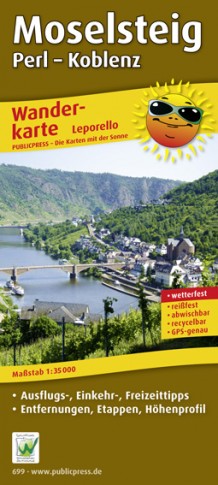
- Wandelkaart Moselsteig | Publicpress
- Beschreven met veel praktische informatie en bezienswaardigheden onderweg. Erg handig uitgevoerd in water- en scheurvast plastic en in praktisch uitklapformaat! Der Qualitätswanderweg führt auf seinen 365 km Länge von Perl nach Koblenz entlang der Mosel durch eine der schönsten Kulturlandschaften Europas. Geprägt wird sie vom Wein, einer über... Read more
De Zwerver
Netherlands