Stanfords
United Kingdom
United Kingdom
- Rhodes & Symi Anavasi 10.38
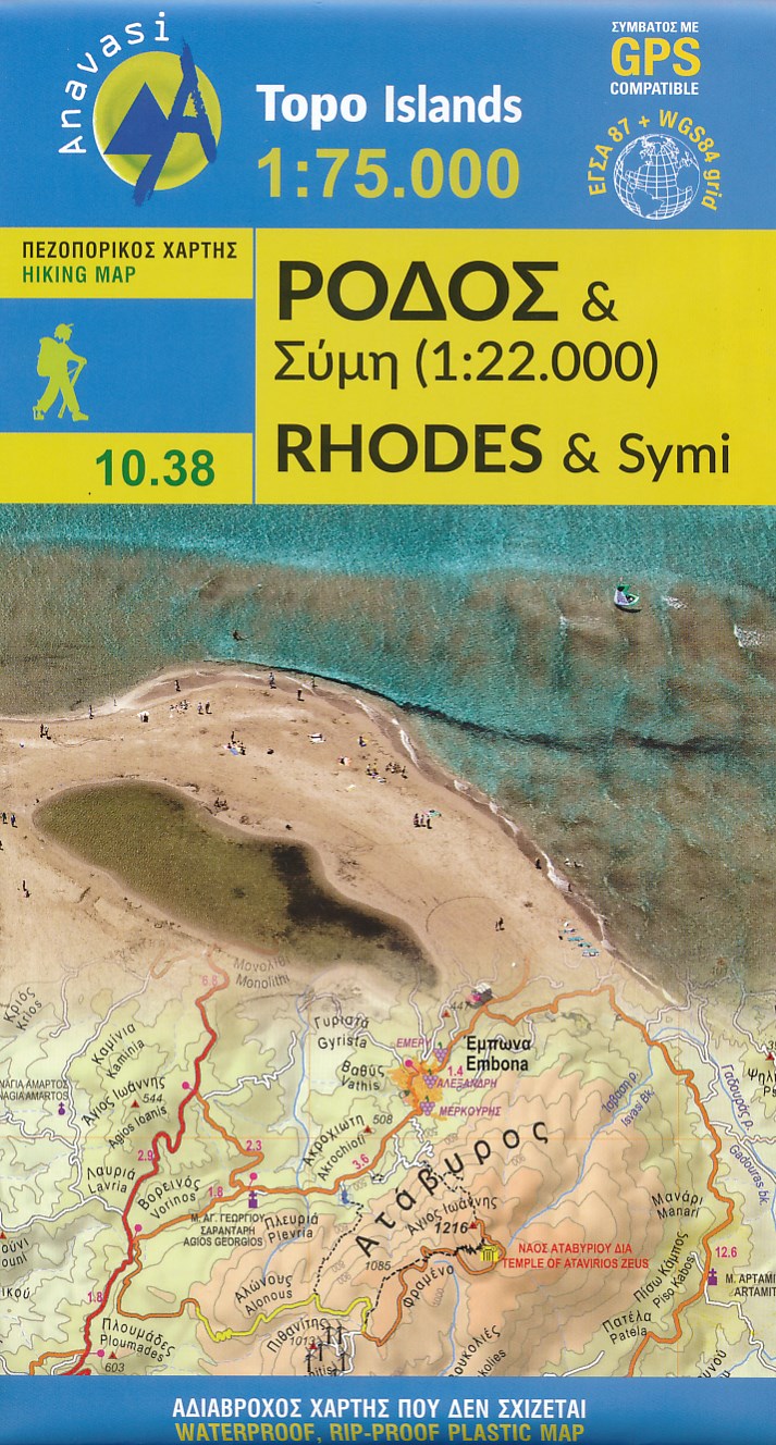
- Rhodes at 1:75,000 on a contoured, GPS compatible map from a wide coverage of the Greek islands by Anavasi, printed on light, waterproof and tear-resistant synthetic paper, with a street plan of a street plan of the Old Town, hiking suggestions, etc.The map has contours at 100m intervals with additional altitude colouring and plenty of names of... Read more
- Also available from:
- The Book Depository, United Kingdom
- De Zwerver, Netherlands

The Book Depository
United Kingdom
United Kingdom
- Rhodes
- Rhodes at 1:75,000 on a contoured, GPS compatible map from a wide coverage of the Greek islands by Anavasi, printed on light, waterproof and tear-resistant plastic paper, with a street plan of a street plan of the Old Town, hiking suggestions, etc.The map has contours at 100m intervals with additional altitude colouring and plenty of names of... Read more
De Zwerver
Netherlands
Netherlands
- Wandelkaart 10.38 Rhodos - Rhodes & Symi | Anavasi
- Rhodes at 1:75,000 on a contoured, GPS compatible map from a wide coverage of the Greek islands by Anavasi, printed on light, waterproof and tear-resistant plastic paper, with a street plan of a street plan of the Old Town, hiking suggestions, etc.The map has contours at 100m intervals with additional altitude colouring and plenty of names of... Read more