Stanfords
United Kingdom
Stanfords
United Kingdom
2018
» Click to open
The Book Depository
United Kingdom
2018
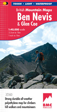
  • Ben Nevis and Glen Coe
  • Waterproof mountain map of Ben Nevis & Glen Coe from Harvey at 1:40,000, with a geological map of the region on the reverse, an enlargement of Ben Nevis' summit, and advice on navigating the region safely.MAIN MAP: Topography is shown through clear altitude shading, spot heights, contours at 15m intervals, and index contours at 75m intervals. A... Read more
De Zwerver
Netherlands
2018
  • Wandelkaart Ben Nevis & Glen Coe | Harvey Maps
  • Waterproof mountain map of Ben Nevis & Glen Coe from Harvey at 1:40,000, with a geological map of the region on the reverse, an enlargement of Ben Nevis' summit, and advice on navigating the region safely.MAIN MAP: Topography is shown through clear altitude shading, spot heights, contours at 15m intervals, and index contours at 75m intervals. A... Read more
» Click to close
De Zwerver
Netherlands
De Zwerver
Netherlands
Stanfords
United Kingdom
2022
» Click to open
De Zwerver
Netherlands
2022
  • Wandelkaart Ben Nevis | Harvey Maps
  • Ben Nevis with the Mamores and Grey Corries ranges at 1:25,000 on a double-sided, waterproof and tear-resistant map from Harvey Map Services with the peak area shown in greater detail at 1:12,500. The map divides the area north/south, with a good overlap between the sides, extending from Fort William past Loch Treig to Chno Deang, plus south to... Read more
» Click to close