
Stanfords
United Kingdom
- 2510 North Brittany Chart Pack - 2015 edition
- A brand new pack for North Brittanty, consisting of 7 double-sided sheets covering the coast from St-Malo to Rade de Brest. The pack consists of the following: The pack consists of the following:1. The Channel Islands, Cherbourg Peninsula & North Brittany (1:550 000)2. Approaches to St-Malo & St-Cast (1:120 000)3. Cap Fréhel to Paimpol (1:110... Read more

Stanfords
United Kingdom

Stanfords
United Kingdom
De Zwerver
Netherlands

Stanfords
United Kingdom
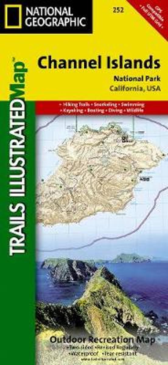
- Channel Islands National Park CA NGS Trails Illustrated Map 252
- Map No. 252, Channel Islands National Parkin California, at 1:25,000/1:50,000 in an extensive series of GPS compatible, contoured hiking maps of USA’s national and state parks or forests and other popular recreational areas. Cartography based on the national topographic survey, with additional tourist information.The maps, with most titles now... Read more
Bol.com
Netherlands
- Channel Islands National Park
- Waterproof Tear-Resistant Topographic MapThis two-sided map includes San Miguel Island, Santa Rosa Island, Santa Cruz Island, Santa Barbara Island, and Anacapa Island. The map combines beautiful cartography that shows the topology and natural features of each island, along with hiking trails, camping spots, rest areas, notable ship... Read more
Bol.com
Belgium
- Channel Islands National Park
- Waterproof Tear-Resistant Topographic MapThis two-sided map includes San Miguel Island, Santa Rosa Island, Santa Cruz Island, Santa Barbara Island, and Anacapa Island. The map combines beautiful cartography that shows the topology and natural features of each island, along with hiking trails, camping spots, rest areas, notable ship... Read more