Stanfords
United Kingdom
- Südliches Märkisches Oderland
- Südliches Märkisches Oderland (No. 746), a detailed, GPS compatible map at 1:50,000 from Kompass with local and long-distance footpaths, cycling routes, accommodation, etc, printed on durable, waterproof and tear-resistant synthetic paper.KOMPASS HIKING & RECREATIONAL MAPS:This title is part of an extensive series covering Austria, much of... Read more

Stanfords
United Kingdom
- Rheinsberg Lake District - Ruppiner Land Kompass 743
- Rheinsverger Lake District - Ruppiner Land (No. 743), a detailed, GPS compatible map at 1:50,000 from Kompass with local and long-distance footpaths, cycling routes, accommodation, etc, printed on durable, waterproof and tear-resistant synthetic paper.KOMPASS HIKING & RECREATIONAL MAPS:This title is part of an extensive series covering Austria,... Read more

Stanfords
United Kingdom
- Berlin Flexi Map
- This easy to use, full-colour, water-proof map is all you need to navigate Berlin. It also includes handy destination detail on the Unter Den Linden area, and tips on top attractions and getting around.· Combines clear, up-to-date cartography with destination detail, stylish design and stunning photography · The main map is at a scale of 1:20... Read more

Stanfords
United Kingdom
- Markische Schweiz - Oderbruch
- Markische Schweiz - Oderbruch on a waterproof, tear-resistant, GPS compatible cycling map at 1:75,000 from the ADFC (Allgemeiner Deutscher Fahrrad-Club - the official German cycling federation), in a series of maps with extensive overprint for long-distance and local cycling routes. GPS waypoints, route profiles, details of online links for... Read more

Stanfords
United Kingdom
- Brandenburg Cycle Region Esterbauer Map-Guide
- Cycling Atlas of Brandenburg from Verlag Esterbauer with 24 routes in various locations across the whole state totaling 1225 kilometres, presented on mapping at 1:75,000. Trails vary from a 17-km long, easy and child-friendly route along the Havel River Cycle Path or a tour of Potsdam to an 83-km tour of the Schorfheide; most trips are between... Read more

Stanfords
United Kingdom
- Spreewald - Berlin Lakes Cycling Map
- Spreewald - Berliner Seengebiet on a waterproof, tear-resistant, GPS compatible cycling map at 1:75,000 from the ADFC (Allgemeiner Deutscher Fahrrad-Club - the official German cycling federation), in a series of maps with extensive overprint for long-distance and local cycling routes. GPS waypoints, route profiles, details of online links for... Read more

Stanfords
United Kingdom
- Berlin - Potsdam - Brandenburg a.d. Havel - Eberswalde ADAC Street Atlas
- Berlin - Potsdam Region Street Atlas in a series of detailed atlases covering the whole of Germany at 1:20,000 with UTM coordinates for GPS navigation, postal codes and public transport, published by ADAC, the country’s largest motoring organization. The plans name all the individual streets and indicate all the main landmarks and public... Read more

Stanfords
United Kingdom
- Pegnitz E11
- Pegnitz in a series of GPS compatible recreational editions of the Bavarian topographic survey at 1:25,000, with waymarked hiking trails and cycling routes, campsites and youth hostels, etc. Coverage includes Creußen, Ahorntal, Pottenstein, Glashütten, Hummeltal, Schnabelwaid.Contours used in this map vary between 5 to 20m according to the... Read more

Stanfords
United Kingdom
- Potsdam - Havelland
- Potsdam - Havelland on a waterproof, tear-resistant, GPS compatible cycling map at 1:75,000 from the ADFC (Allgemeiner Deutscher Fahrrad-Club - the official German cycling federation), in a series of maps with extensive overprint for long-distance and local cycling routes. GPS waypoints, route profiles, details of online links for information... Read more

Stanfords
United Kingdom
- Prignitz Cyclers Paradise
- Potsdam - Havelland on a waterproof, tear-resistant, GPS compatible cycling map at 1:75,000 from the ADFC (Allgemeiner Deutscher Fahrrad-Club - the official German cycling federation), in a series of maps with extensive overprint for long-distance and local cycling routes. GPS waypoints, route profiles, details of online links for information... Read more

Stanfords
United Kingdom
- Brandenburg Cycle Tour Bikeline Map-Guide
- Brandenburg Cycle Tour, a 1069-km long circuit around the State of Brandenburg, presented by the Verlag Esterbauer in a guide with maps at 1:75,000 showing the route and its variants. Extensive information is conveyed by symbols, indicating road surface, campsites and other accommodation, repair workshops, recreational facilities, places of... Read more

Stanfords
United Kingdom

Stanfords
United Kingdom
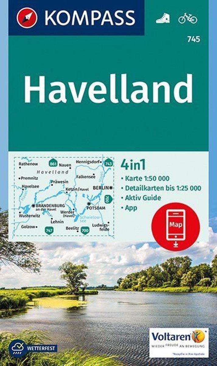
- Havelland Kompass 745
- Havelland (No. 745), a detailed, GPS compatible map at 1:50,000 from Kompass with local and long-distance footpaths, cycling routes, accommodation, etc, printed on durable, waterproof and tear-resistant synthetic paper.KOMPASS HIKING & RECREATIONAL MAPS:This title is part of an extensive series covering Austria, much of Germany and the... Read more
Bol.com
Netherlands
- Havelland 1:50 000
- KOMPASS-Wanderkarten enthalten alles Wissenswerte für Wanderer wie aktuelle Wanderwege mit Markierungen, empfehlenswerte Radrouten und wichtige touristische Informationen.Der topographische Inhalt wird bei aller Detailgenauigkeit leicht lesbar und anschaulich dargestellt.Ein übersichtlich gestaltetes Beiheft mit zahlreichen Farbfotos informiert... Read more
Bol.com
Belgium
- Havelland 1:50 000
- KOMPASS-Wanderkarten enthalten alles Wissenswerte für Wanderer wie aktuelle Wanderwege mit Markierungen, empfehlenswerte Radrouten und wichtige touristische Informationen.Der topographische Inhalt wird bei aller Detailgenauigkeit leicht lesbar und anschaulich dargestellt.Ein übersichtlich gestaltetes Beiheft mit zahlreichen Farbfotos informiert... Read more
De Zwerver
Netherlands
Stanfords
United Kingdom