Stanfords
United Kingdom
2016
United Kingdom
2016
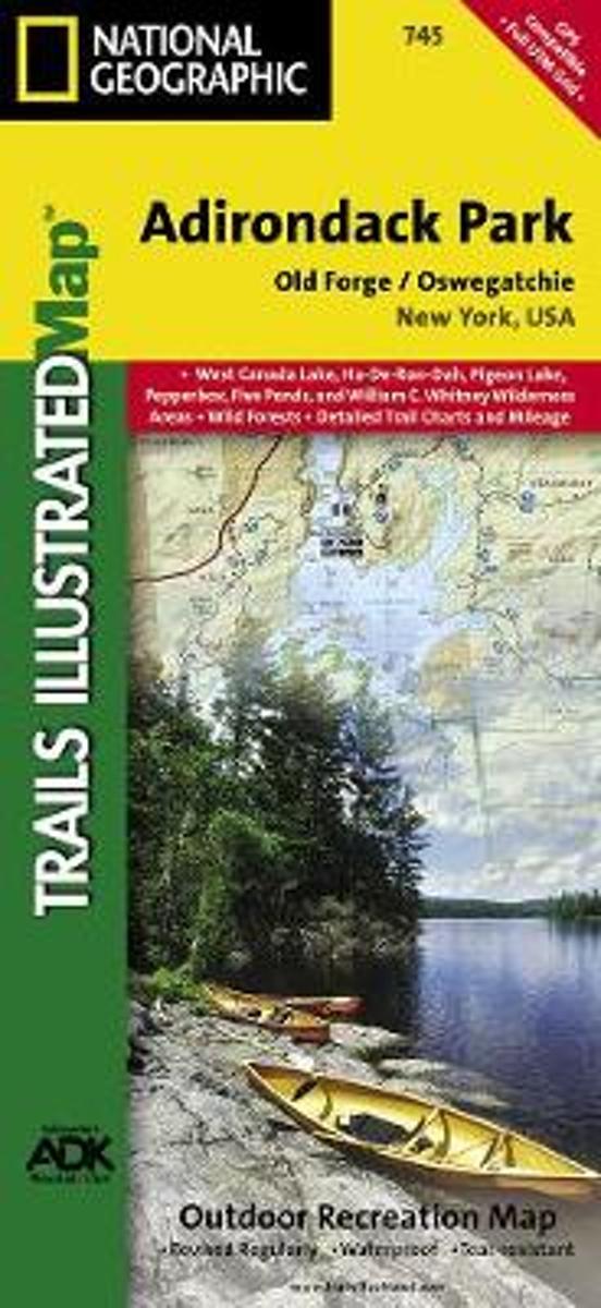
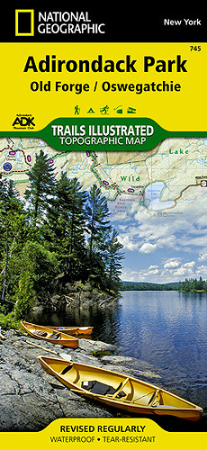
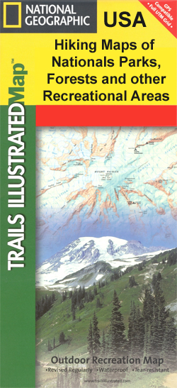
- Adirondack Park - Lake Placid - High Peaks NY
- Map No. 742, Adirondack Park: Lake Placid - High Peaks, NY, in an extensive series of GPS compatible, contoured hiking maps of USA’s national and state parks or forests and other popular recreational areas. Cartography based on the national topographic survey, with additional tourist information.The maps, with most titles now printed on light,... Read more
- Also available from:
- Bol.com, Netherlands
- Bol.com, Belgium
- De Zwerver, Netherlands
Bol.com
Netherlands
2016
Netherlands
2016
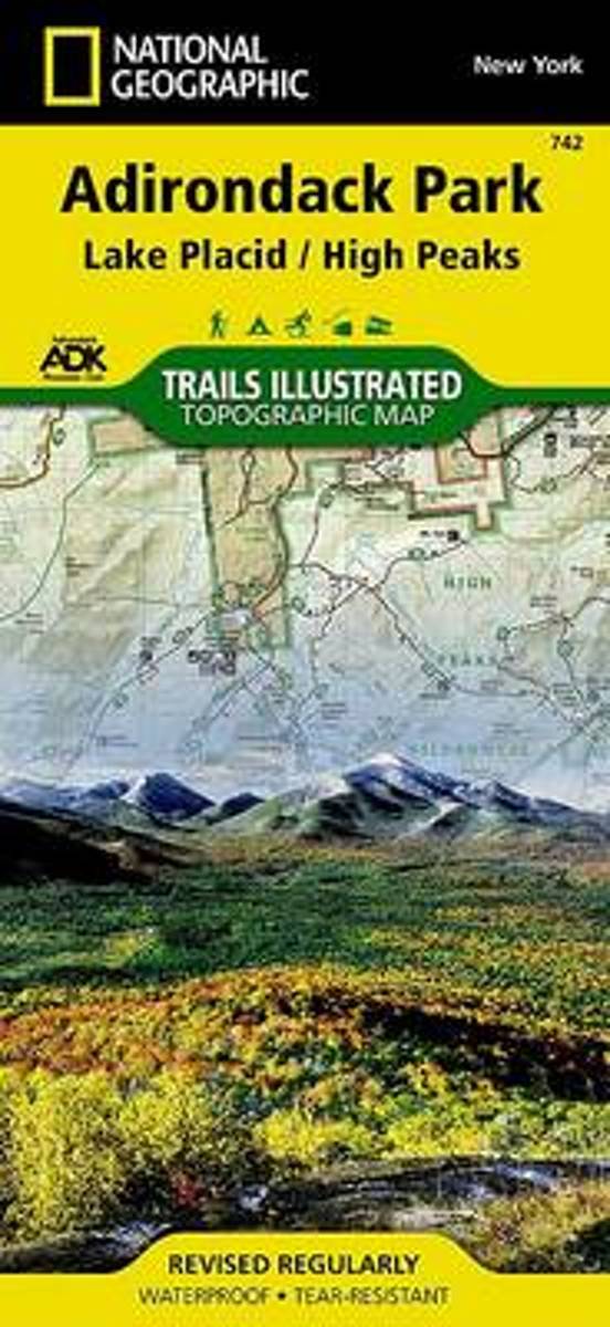
- Lake Placid/high Peaks, Adirondack Park
- Waterproof Tear-Resistant Topographic MapNational Geographic's Trails Illustrated map of Adirondack Park Lake Placid/High Peaks is a two-sided, waterproof, topographic trail map designed to meet the needs of outdoor enthusiasts with unmatched durability and detail. Discover the Adirondack's wild, rugged, and beautiful terrain with the... Read more
Bol.com
Belgium
2016
Belgium
2016
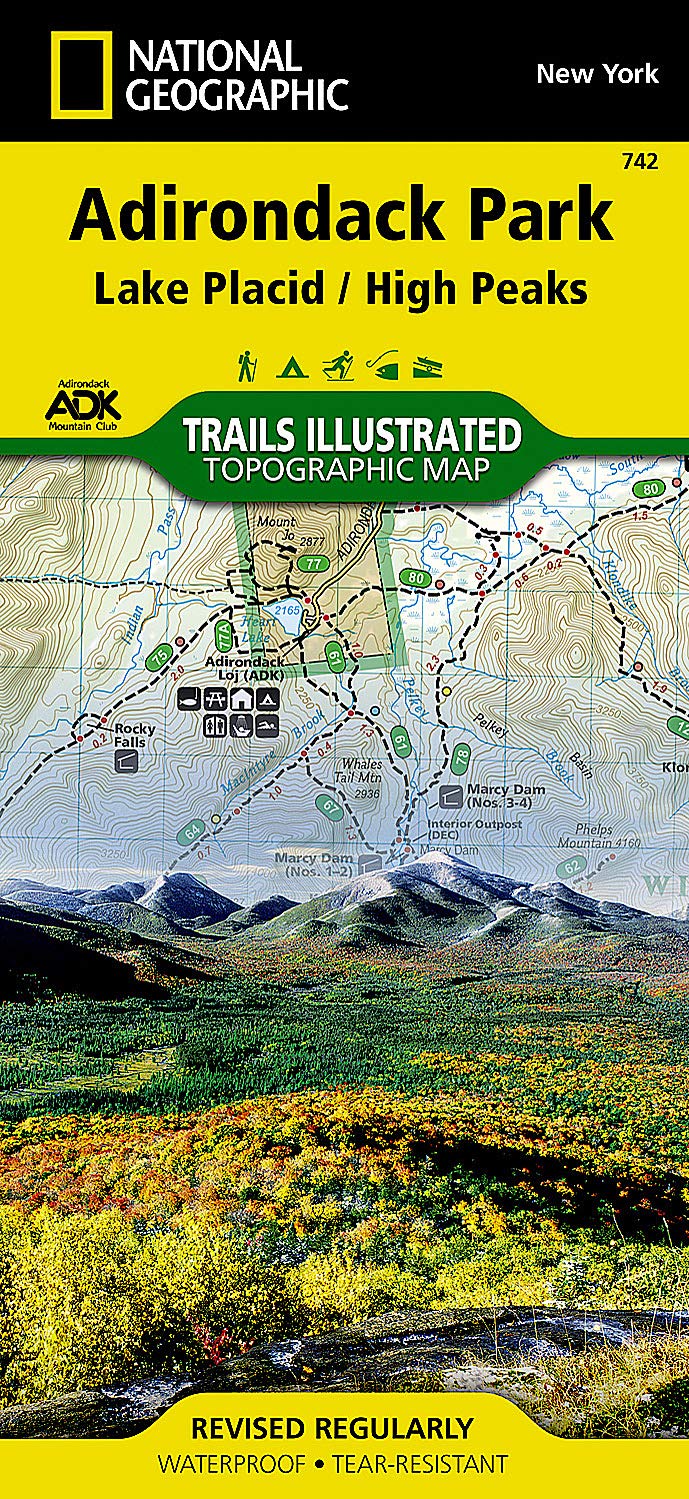
- Lake Placid/high Peaks, Adirondack Park
- Waterproof Tear-Resistant Topographic MapNational Geographic's Trails Illustrated map of Adirondack Park Lake Placid/High Peaks is a two-sided, waterproof, topographic trail map designed to meet the needs of outdoor enthusiasts with unmatched durability and detail. Discover the Adirondack's wild, rugged, and beautiful terrain with the... Read more
De Zwerver
Netherlands
2016
Netherlands
2016
- Wandelkaart Lake Placid, High Peaks: Adirondack Park Map | National Geographic
- Map No. 742, Adirondack Park: Lake Placid - High Peaks, NY, in an extensive series of GPS compatible, contoured hiking maps of USA’s national and state parks or forests and other popular recreational areas. Cartography based on the national topographic survey, with additional tourist information.The maps, with most titles now printed on light,... Read more