Syros in the Cyclades on light, a waterproof and tear-resistant, contoured and GPS compatible map at 1:20,000 from Anavasi for exploring the island on foot or by car. On the reverse is a street plan of Ermoupoli / Hermoupolis showing various facilities and places of interest, plus contact details for various accommodation options.Landscape of...Read more
Greek islands of Kimolos and Polyaigos in the Cyclades on a contoured and GPS compatible pocket map at 1:25,000 from Terrain Editions. On the reverse are descriptions of two hiking trails on Kimolos and general notes on its history, sights, nature, etc, plus photos. All place names are shown in both Greek and Latin alphabet. Map legend and all...Read more
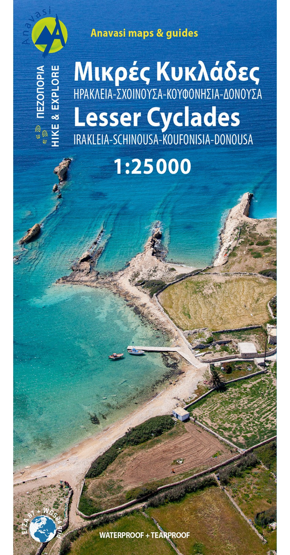
Minor Cyclades Islands: Heraklia, Schinousa, Keros, Koufonisia, Donoussa at 1:25,000 on a contoured, GPS compatible hiking map published by Terrain Cartography group together with Skai Maps, and printed on light, waterproof and tear-resistant Polyart plastic paper, with extensive tourist information.Topography is very well presented by...Read more
Minor Cyclades Islands: Heraklia, Schinousa, Keros, Koufonisia, Donoussa at 1:25,000 on a contoured, GPS compatible hiking map published by Terrain Cartography group together with Skai Maps, and printed on light, waterproof and tear-resistant Polyart plastic paper, with extensive tourist information.Topography is very well presented by...Read more
Sifnos in the Cyclades on light, a waterproof and tear-resistant, contoured and GPS compatible map at 1:25,000 from Anavasi for exploring the island on foot or by car, highlighting eight recommended hiking trails, plus descriptions of 11 most interesting locations on Sifnos.Landscape is vividly shown by contours at 20m with altitude colouring,...Read more
Sifnos in the Cyclades on light, a waterproof and tear-resistant, contoured and GPS compatible map at 1:25,000 from Anavasi for exploring the island on foot or by car, highlighting eight recommended hiking trails, plus descriptions of 11 most interesting locations on Sifnos.Landscape is vividly shown by contours at 20m with altitude colouring,...Read more
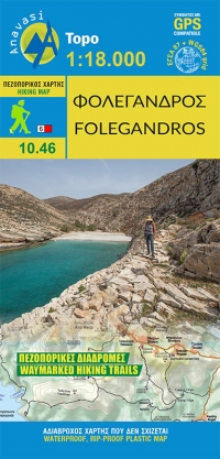
Folegandros on a light, waterproof and tear-resistant, contoured and GPS compatible map at 1:20,000 from Terrain Editions, with a large street plan of the Hora of Folegandros at 1:2,000 annotated with various facilities. On the reverse is general information about the island, plus descriptions of eight hiking trails. All place names are shown...Read more
Folegandros on a light, waterproof and tear-resistant, contoured and GPS compatible map at 1:20,000 from Terrain Editions, with a large street plan of the Hora of Folegandros at 1:2,000 annotated with various facilities. On the reverse is general information about the island, plus descriptions of eight hiking trails. All place names are shown...Read more
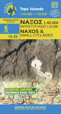
Naxos on light, a waterproof and tear-resistant, contoured and GPS compatible map at 1:40,000 from Anavasi, highlighting 10 recommended hiking trails, plus on the reverse coverage of six smaller nearby islands in the Cyclades: Donoussa, Irakleia, Schoinousa / Schinousa, Upper and Lower Koufonisi, plus Keros.On one side is the map of Naxos....Read more
Naxos on light, a waterproof and tear-resistant, contoured and GPS compatible map at 1:40,000 from Anavasi, highlighting 10 recommended hiking trails, plus on the reverse coverage of six smaller nearby islands in the Cyclades: Donoussa, Irakleia, Schoinousa / Schinousa, Upper and Lower Koufonisi, plus Keros.On one side is the map of Naxos....Read more
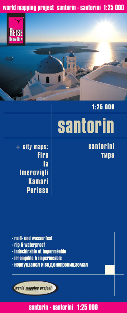
Santorini at 1:25,000 on waterproof and tear-resistant, indexed and GPS compatible map with, on the reverse, five large street plans of Fira (Thira) Ia, Imerovogli, Kamari and Perissa and maps of archaeological sites at Old Thira and Akrotiri, plus a map of the whole of the Cyclades with notes on how the island’s characteristic shape was...Read more
Goede overzichtelijke detailkaart met wandelroutes maar ook toeristische informatie. Op scheur en watervast papier gedrukt! Tweetalige kaart (Engels en Duits). Door ingetekende lengte- en breedtegraden is het gebruik van GPS mogelijk. Met hoogtelijnen en uitgebreid wegennetwerk: daarnaast worden ook de afstanden tussen belangrijke plaatsen...Read more
Het eiland Folegandros is een wandelparadijs met korte wandelroutes die eindigen op prachtig afgelegen stranden. Op deze kaart staat een kleine plattegrond van de stad Chora, de hoofdstad van Folegandros. De kaarten van Anavasi zijn zeer gedetailleerd, beschikken over een helder kaartbeeld en zijn uitstekende kaarten voor diverse activiteiten....Read more