Mont Thabor area at 1:50,000 on a contoured and GPS compatible map from Editions Didier Richard in their series of walking maps of French Alps and other popular hiking regions of south-eastern France. Coverage extends from Modane in the north to Briançon in the south-east, and west to Valloire.The base map with cartography from the IGN has...Read more
One of two topographic survey maps of Luxembourg at 1:50,000, with contours at 10-metres intervals and additional relief shading. An overprint highlights long-distance footpaths, including the GR5 (E-2), cycle routes, and various places of interest, including campsites. The map covers an area of approximately 53 x 43 km / 33 x 27 miles. Map...Read more
The Antwerp province of Belgium at 1:50,000 in a series from Falk B.V. showing the network of signposted cycling routes on large, double-sided indexed maps with prominent highlighting of long-distance LF routes, symbols indicating accommodation and other tourist services, plus in each title two or more panels with recommended local circuits and...Read more
One of two topographic survey maps of Luxembourg at 1:50,000, with contours at 10-metres intervals and additional relief shading. An overprint highlights long-distance footpaths, including the GR5 (E-2), cycle routes, and various places of interest, including campsites. The map covers an area of approximately 53 x 43 km / 33 x 27 miles. Map...Read more
Vanoise National Park and the Beaufortain Massif in the French Alps at 1:60,000 on a contoured and GPS compatible map from Didier Richard with a base derived from IGN’s topographic survey, highlighting both local hiking routes and the GR network of long-distance paths, gîtes and mountain refuges, interesting natural and cultural sites, etc. The...Read more
Vanoise National Park and the Beaufortain Massif in the French Alps at 1:60,000 on a contoured and GPS compatible map from Didier Richard with a base derived from IGNRead more
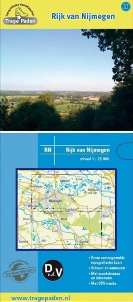
Grote, samengestelde en gedetailleerde topografische wandelkaart, op schaal 1:25.000. Scheur- en watervast. Vele wandelroutes ingetekend, onder andere lange afstandsroutes, zoals het Pieterpad, het Grote Rivierenpad, het Airbornepad Market Garden, Streekpad Nijmegen, Maas en Peelliniepad en het Maas- Niederrheinpad. Daarnaast veel...Read more
Deze zeer gedetailleerde Trage Padenkaart (schaal 1:25.000), bestrijkt een gebied van 25 x 25 kilometer. Dat is een gebied dat groter is dan vier normale stafkaarten met deze schaal samen bestrijken! Op de kaart liggen natuurgebieden zoals Ooypolder, Millinger Waard, Duffelt, omgeving Berg en Dal en Groesbeek, Reichswald, Mookerhei/St.Jansberg,...Read more
The southern part of Alsace around Mulhouse and Guebwiller on a GPS compatible, double-sided map at 1:50,000 from Kümmerly+Frey printed on sturdy, waterproof and tear-resistant synthetic paper; contoured, with hiking and cycling routes, sites for other recreational activities, various accommodation options, restaurants and ferme-auberge...Read more
The central part of Alsace around Colmar and Sélestat on a GPS compatible, double-sided map at 1:50,000 from Kümmerly+Frey printed on sturdy, waterproof and tear-resistant synthetic paper; contoured, with hiking and cycling routes, sites for other recreational activities, various accommodation options, restaurants and ferme-auberge locations,...Read more