
Stanfords
United Kingdom
- North East Friesland
- “North East Friesland” map in 1:25,000 belong to a series of eleven walking from Falk, which cover the most beautiful hiking areas in which cover the most beautiful hiking areas in four regions: North Brabant in the south, the tip of North Holland, Friesland and Groningen in the north of the country.“North East Friesland” map covers part of the... Read more

Stanfords
United Kingdom
- Het Groene Woud
- “Het Groene Woud” map in 1:25,000 belong to a series of eleven walking from Falk, which cover the most beautiful hiking areas in four regions: North Brabant in the south, the tip of North Holland, Friesland and Groningen in the north of the country.“Het Groene Woud” (the green forest) map covers an area of approximately 26 x 16 km in North... Read more

Stanfords
United Kingdom
- Friese Meren - South Friesland Falkplan Cycling Map 03
- Frisian Lakes in the Netherlands at 1:50,000 in a series from Falk B.V. showing the network of signposted cycling routes on large, double-sided indexed maps with prominent highlighting of long-distance LF routes, symbols indicating accommodation and other tourist services, plus in each title two or more panels with recommended local circuits... Read more

Stanfords
United Kingdom
- Friese Meren - South Friesland Falkplan Cycling Map 3
- Frisian Lakes in the Netherlands at 1:50,000 in a series from Falk B.V. showing the network of signposted cycling routes on large, double-sided indexed maps with prominent highlighting of long-distance LF routes, symbols indicating accommodation and other tourist services, plus in each title two or more panels with recommended local circuits... Read more

Stanfords
United Kingdom
- North East Groningen
- “North East Groningen” map in 1:25,000 belong to a series of eleven walking from Falk, which cover the most beautiful hiking areas in four regions: North Brabant in the south, the tip of North Holland, Friesland and Groningen in the north of the country.“North East Groningen” map covers part of the Frisian Islands and a section of Groningen.The... Read more

Stanfords
United Kingdom
- East Frisia Cycling Region Bikeline Map-Guide
- East Friesland Cycling Atlas at 1:75,000 in a series of handy size spiral bound atlases from Verlag Esterbauer, Europe’s leading publishers of cycling maps. The guide cover 1376km of cycling routes in East Friesland, between the Dutch border and the Weser.Cycling atlases from Verlag Esterbauer have a map legend which includes English and,... Read more

Stanfords
United Kingdom
- Lauwersmeer
- Lauwersmeer area Friesland in the Netherlands in a series of walking and cycling maps at 1:25,000 – 1:35,000, published by Falk BV in cooperation with Staatsbosbeheer – Dutch government’s organization for forestry and the management of nature reserves.Colouring indicates different types of vegetation or terrain: woodland, pastures, heath or... Read more

Stanfords
United Kingdom
- De Acht Zaligheden
- ”De Acht Zaligheden” map in 1:25,000 belong to a series of eleven walking from Falk, which cover the most beautiful hiking areas in four regions: North Brabant in the south, the tip of North Holland, Friesland and Groningen in the north of the country.”De Acht Zaligheden” (the eight beauties) map covers an area of approximately 24 x 12 km in... Read more

Stanfords
United Kingdom
- North West Friesland
- “North West Friesland” map in 1:25,000 belong to a series of eleven walking from Falk, which cover the most beautiful hiking areas in four regions: North Brabant in the south, the tip of North Holland, Friesland and Groningen in the north of the country.“North West Friesland” map covers part of the Frisian Islands and a section of North... Read more
De Zwerver
Netherlands

De Zwerver
Netherlands
- Topografische kaart - Wandelkaart 10B Makkum | Kadaster
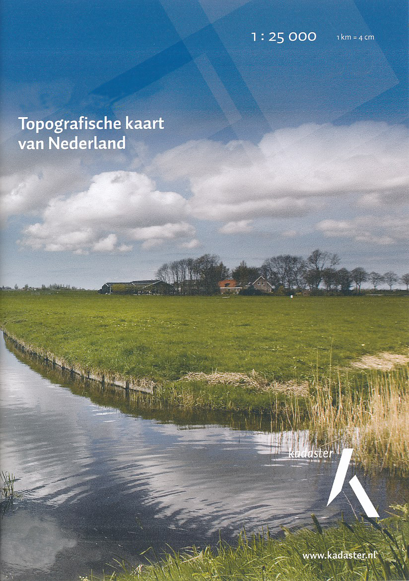
- De meest gedetailleerde kaart die via de verkoopkanalen verkrijgbaar is. Gemaakt door de Nederlandse Topografische dienst bevat deze kaart alle topografische elementen van het landschap en geeft daarmee een nauwkeurig beeld van het terrein. De meeste kaarten hebben een kaartbeeld dat overeenkomt met 12,5 x 10 kilometer in werkelijkheid. Naast... Read more
De Zwerver
Netherlands
De Zwerver
Netherlands
- Topografische kaart - Wandelkaart 11D Heerenveen | Kadaster
- Bontebok De Knijpe Gersloot Heerenveen Jonkersland Katlijk Langezwaag Luinjeberd Luxwoude Mildam Oranjewoud Terband Terwispel Tijnje Tjalleberd De meest gedetailleerde kaart die via de verkoopkanalen verkrijgbaar is. Gemaakt door de Nederlandse Topografische dienst bevat deze kaart alle topografische elementen van het landschap en geeft daarmee... Read more
De Zwerver
Netherlands

De Zwerver
Netherlands
- Topografische kaart - Wandelkaart 15F Lemmer | Kadaster
- Doniaga Eesterga Follega Idskenhuizen Lemmer Oosterzee Sloten St Nicolaasga Tjerkgaast Wijckel De meest gedetailleerde kaart die via de verkoopkanalen verkrijgbaar is. Gemaakt door de Nederlandse Topografische dienst bevat deze kaart alle topografische elementen van het landschap en geeft daarmee een nauwkeurig beeld van het terrein. De meeste... Read more