Stanfords
United Kingdom
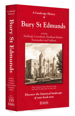
- Bury St Edmunds 1805-1921 (3-map set)
- Map No. 155, Bury St Edmunds 1805-1921 (3-map set), in the Cassini Historical Series of old Ordnance Survey mapping of England and Wales at 1:50,000 in a format designed to offer a convenient comparison with the present day coverage from the OS, and most locations in three different editions. Old historical maps have been combined so that the... Read more

Stanfords
United Kingdom
- Bury St Edmunds 1805-1838
- Map No. 155, Bury St Edmunds 1805-1838, in the Cassini Historical Series of old Ordnance Survey mapping of England and Wales at 1:50,000 in a format designed to offer a convenient comparison with the present day coverage from the OS, and most locations in three different editions. Old historical maps have been combined so that the sheet lines... Read more

Stanfords
United Kingdom
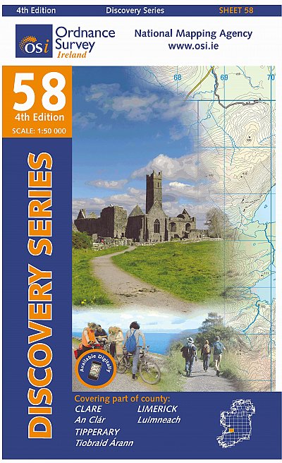
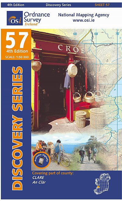
- Clare OSI Discovery 57
- Map No. 57, Clare Central-West in the Discovery series from the OSI, the Ordnance Survey of Ireland, which presents the country on detailed topographic maps at 1:50,000, with additional overprint highlighting campsites and caravan parks, youth hostels, etc. Current 4th edition of this map was published in January 2013.Maps in the Discovery... Read more
Stanfords
United Kingdom
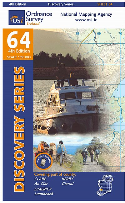
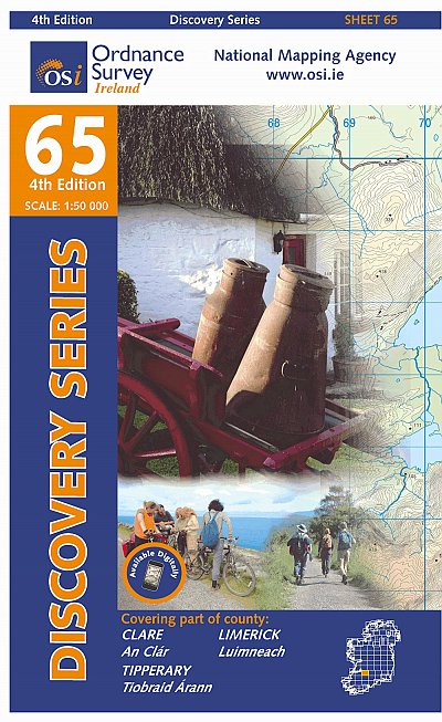
- Clare - Limerick - Tipperary OSI Discovery 65
- Map No. 65, Limerick North-East in the Discovery series from the OSI, the Ordnance Survey of Ireland, which presents the country on detailed topographic maps at 1:50,000, with additional overprint highlighting campsites and caravan parks, youth hostels, etc. Current 4th edition of this title was published in January 2013.Maps in the Discovery... Read more
Stanfords
United Kingdom
- Bury St Edmunds 1920-1921
- Map No. 155, Bury St Edmunds 1920-1921, in the Cassini Historical Series of old Ordnance Survey mapping of England and Wales at 1:50,000 in a format designed to offer a convenient comparison with the present day coverage from the OS, and most locations in three different editions. Old historical maps have been combined so that the sheet lines... Read more

Stanfords
United Kingdom
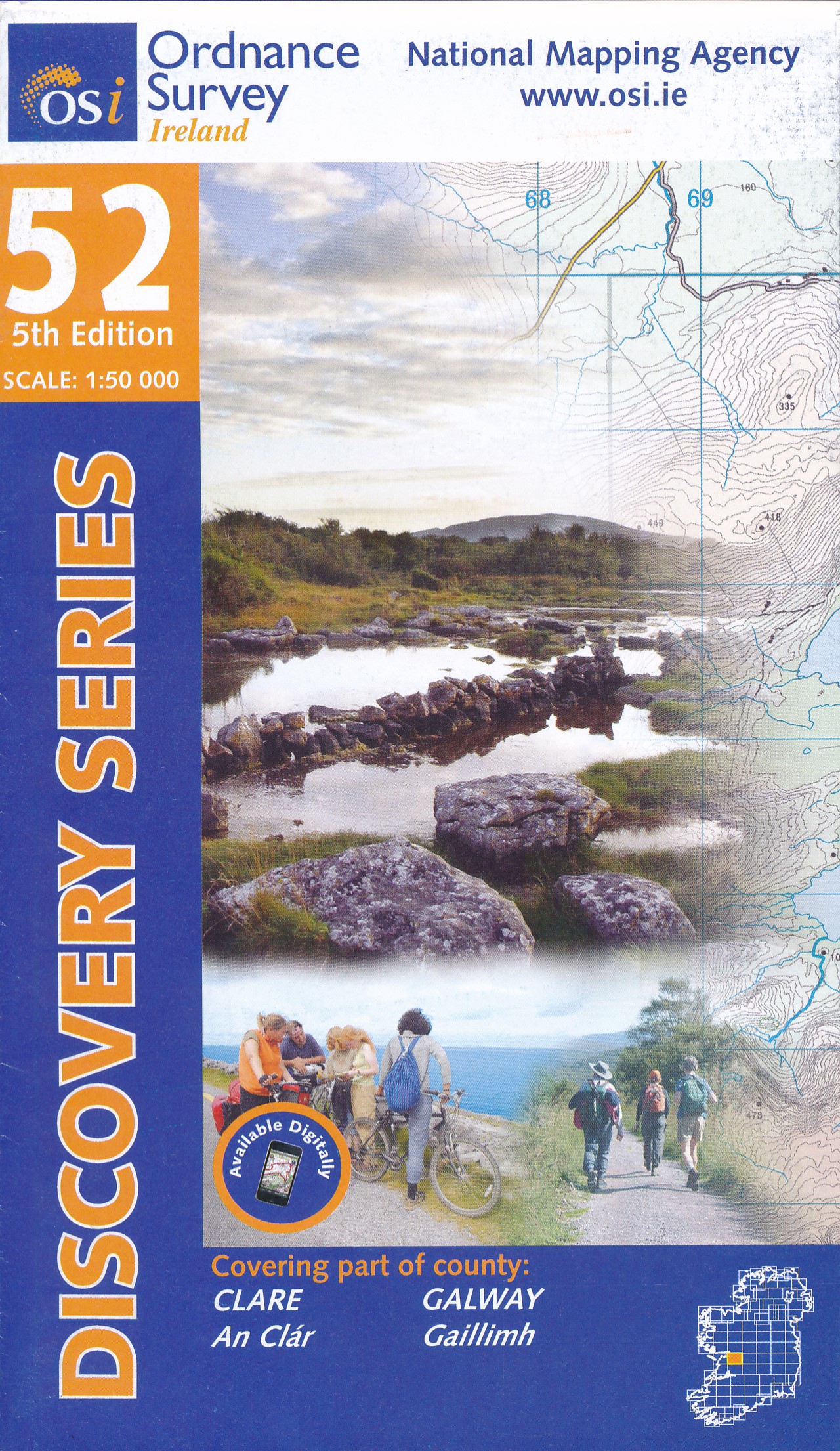
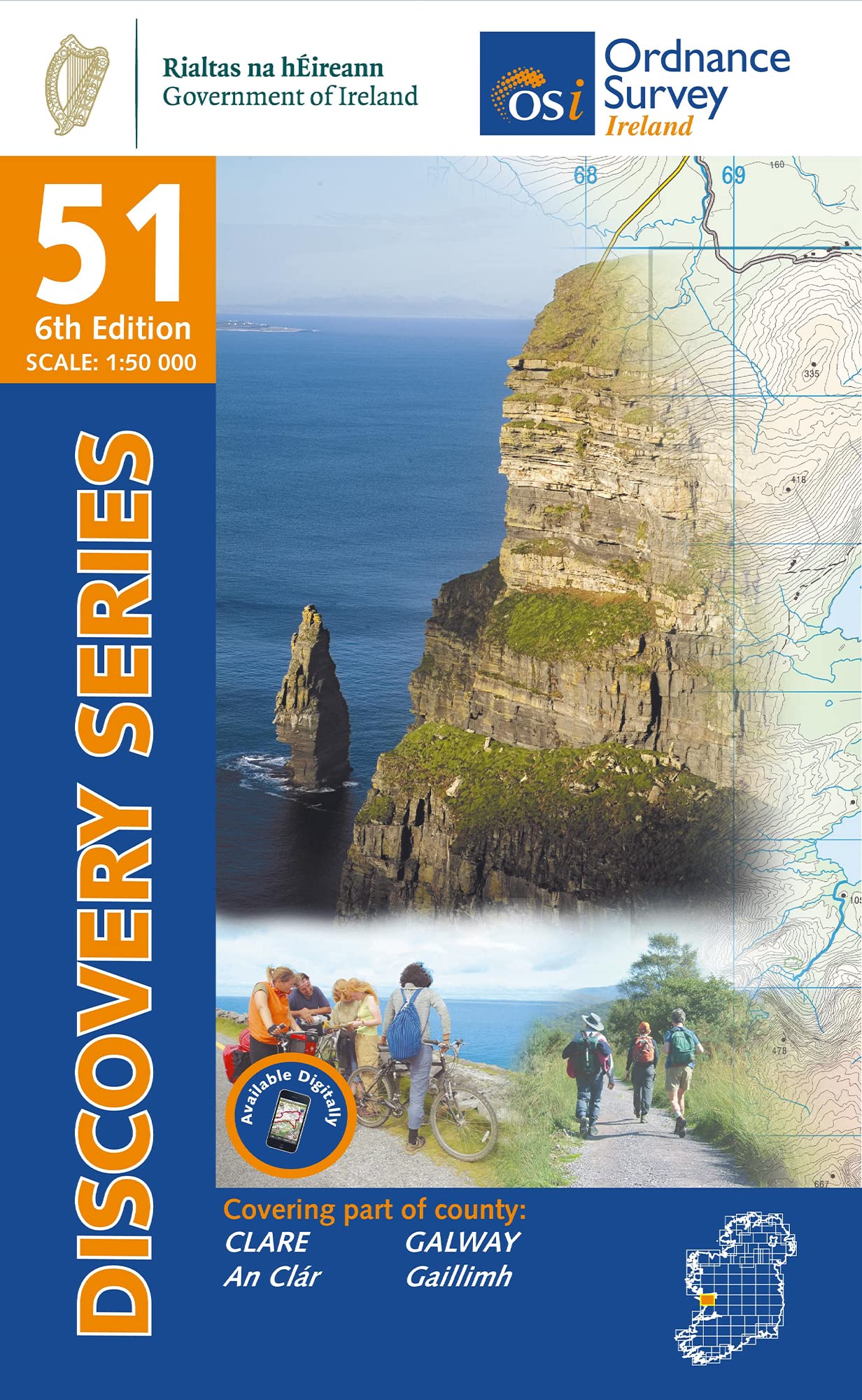
- Clare - Galway OSI Discovery 51
- Map No. 51, Clare North - Aran Islands in the Discovery series from the OSI, the Ordnance Survey of Ireland, which presents the country on detailed topographic maps at 1:50,000, with additional overprint highlighting campsites and caravan parks, youth hostels, etc. Current 5th edition of this map was published in 2015.Maps in the Discovery... Read more
Stanfords
United Kingdom
- Bury St Edmunds 1898-1901
- Map No. 155, Bury St Edmunds 1898-1901, in the Cassini Historical Series of old Ordnance Survey mapping of England and Wales at 1:50,000 in a format designed to offer a convenient comparison with the present day coverage from the OS, and most locations in three different editions. Old historical maps have been combined so that the sheet lines... Read more
De Zwerver
Netherlands
De Zwerver
Netherlands
De Zwerver
Netherlands
Stanfords
United Kingdom
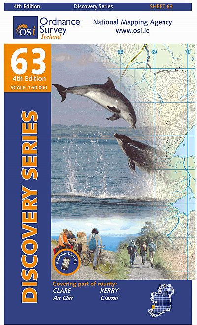
- Clare - Kerry OSI Discovery 63
- Map No. 63, Clare South-West - Kerry North in the Discovery series from the OSI, the Ordnance Survey of Ireland, which presents the country on detailed topographic maps at 1:50,000, with additional overprint highlighting campsites and caravan parks, youth hostels, etc. Current 4th edition of this map was published in January 2013.Maps in the... Read more
De Zwerver
Netherlands
De Zwerver
Netherlands
De Zwerver
Netherlands
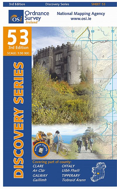
- Topografische kaart - Wandelkaart 53 Discovery Clare, Galway, Offaly, Tipperary | Ordnance Survey Ireland
- Map No. 53, Galway South-East - Offaly West - Tipperary North in the Discovery series from the OSI, the Ordnance Survey of Ireland, which presents the country on detailed topographic maps at 1:50,000, with additional overprint highlighting campsites and caravan parks, youth hostels, etc. Current 3rd edition of this map was published in October... Read more
De Zwerver
Netherlands