Stanfords
United Kingdom
United Kingdom
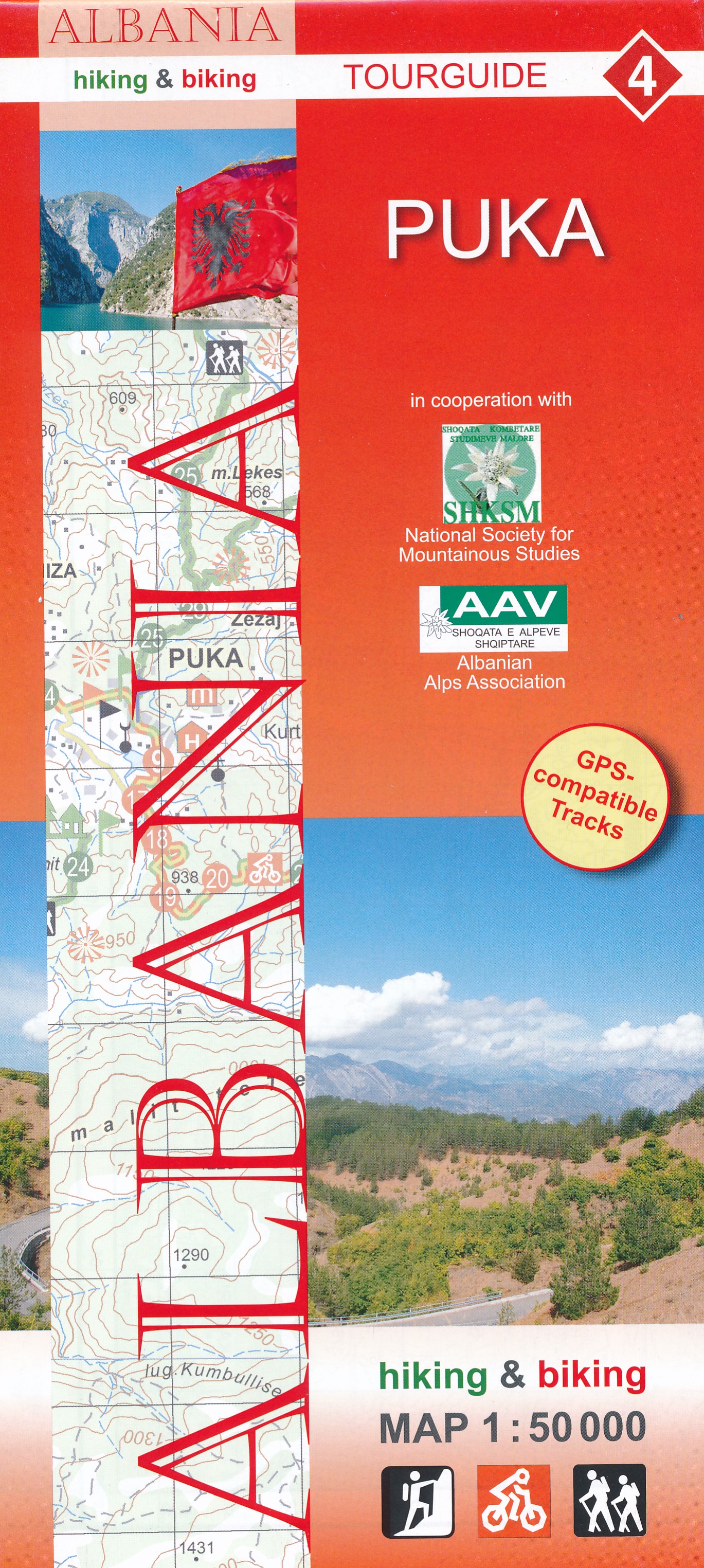
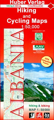
- Vermoshi - Tamare - Razma - Thethi Huber Hiking & Biking Map
- Vermoshi - Tamare - Razma - Thethi area of northern Albania at 1:50,000 in a series of GPS compatible contoured maps from Huber Verlag showing hiking and cycling routes, climbing sites, tourist accommodation, etc. Descriptions cover 16 hiking trails and six cycling routes between 14km and 152km long. Route profiles are provided for most of the... Read more