
Stanfords
United Kingdom
- Vilvoorde NGI Topo 23/7-8
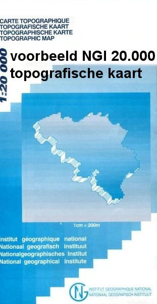
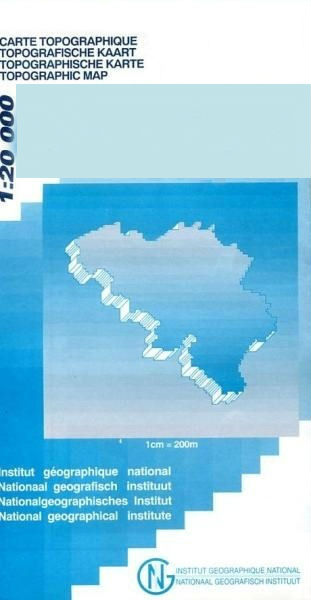
- Topographical survey of Belgium at 1:20,000 from Nationaal Geografisch Instituut / Institut Géographique National, the country’s national survey organization. Each 20K map covers one quarter of the corresponding 1:50,000 map (with adjustments in the border and coastal areas). The maps provide all the information expected of topographic mapping... Read more

Stanfords
United Kingdom
- Gedinne
- Topographical survey of Belgium at 1:20,000 from Nationaal Geografisch Instituut / Institut Géographique National, the country’s national survey organization. Each 20K map covers one quarter of the corresponding 1:50,000 map (with adjustments in the border and coastal areas). The maps provide all the information expected of topographic mapping... Read more

Stanfords
United Kingdom
- Aurlandsfjellet Nordeca Tourist Route 20005
- This Aurlandsfjellet National Tourist Route Map belongs to a series of 18 map and postcards sets describing popular tourist routes all over Norway. The map set includes a map in 1: 50,000 presenting an accurate topography (based on the Norwegian topographic survey) which describes local footpaths, cycle or ski routes, sport and recreational... Read more

Stanfords
United Kingdom
- Czechia Shocart-F&B Road Map
- Indexed road map of Czech Republic at 1:250,000, with 1:100,000 scale enlargements of Prague, Ústí nad Labem, Karlovy Vary, Ceské Budejovice, and Plzen. The main map shows the major road network and some minor roads, with road distances marked in kilometres; filling stations are shown. Railway lines and airports are clearly displayed.Topography... Read more

Stanfords
United Kingdom
- World War I Macedonian Front: Lake Dorjan
- Lake Dorjan, one of two maps covering the site of the Battle of Doiran between British and Greek troops against Bulgarian forces on the Macedonian Front during World War I. Both maps are reproductions by G.H. Smith & Son of the original British Army trench maps at approximately 7/10th of the original scale quoted against each title.This title,... Read more
Stanfords
United Kingdom
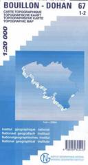
- Bouillon - Dohan
- Topographical survey of Belgium at 1:20,000 from Nationaal Geografisch Instituut / Institut Géographique National, the country’s national survey organization. Each 20K map covers one quarter of the corresponding 1:50,000 map (with adjustments in the border and coastal areas). The maps provide all the information expected of topographic mapping... Read more
Stanfords
United Kingdom
- Geraardsbergen - Galmaarden
- Topographical survey of Belgium at 1:20,000 from Nationaal Geografisch Instituut / Institut Géographique National, the country’s national survey organization. Each 20K map covers one quarter of the corresponding 1:50,000 map (with adjustments in the border and coastal areas). The maps provide all the information expected of topographic mapping... Read more

Stanfords
United Kingdom
- Cuba Wall Map
- Wall map of Cuba from Gizi with excellent topographic information, a street plan of Old Havana, enlargements for the Varadero Peninsula, Valle de Viñales and the environs of the capital, plus a distance table and an extensive index.Vivid altitude colouring with graphics for mangrove and swamps, plus plenty of names of geographical features:... Read more
Stanfords
United Kingdom
- Jurbise - Obourg
- Topographical survey of Belgium at 1:20,000 from Nationaal Geografisch Instituut / Institut Géographique National, the country’s national survey organization. Each 20K map covers one quarter of the corresponding 1:50,000 map (with adjustments in the border and coastal areas). The maps provide all the information expected of topographic mapping... Read more

Stanfords
United Kingdom
Stanfords
United Kingdom
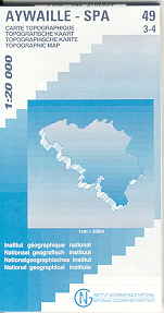
- Aywaille - Spa NGI Belgium Survey Map No. 49/3-4
- Topographical survey of Belgium at 1:20,000 from Nationaal Geografisch Instituut / Institut Géographique National, the country’s national survey organization. Each 20K map covers one quarter of the corresponding 1:50,000 map (with adjustments in the border and coastal areas). The maps provide all the information expected of topographic mapping... Read more
Stanfords
United Kingdom
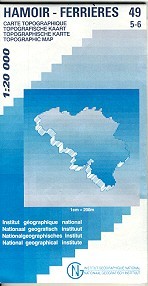
- Hamoir - Ferrieres
- Topographical survey of Belgium at 1:20,000 from Nationaal Geografisch Instituut / Institut Géographique National, the country’s national survey organization. Each 20K map covers one quarter of the corresponding 1:50,000 map (with adjustments in the border and coastal areas). The maps provide all the information expected of topographic mapping... Read more
Stanfords
United Kingdom
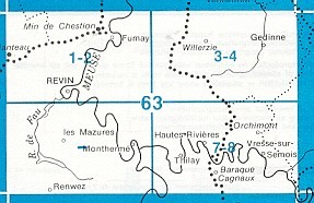
- Vresse-sur-Semois
- Topographical survey of Belgium at 1:20,000 from Nationaal Geografisch Instituut / Institut Géographique National, the country’s national survey organization. Each 20K map covers one quarter of the corresponding 1:50,000 map (with adjustments in the border and coastal areas). The maps provide all the information expected of topographic mapping... Read more

Stanfords
United Kingdom
- Barcelona - Zaragoza - Castellón de la Plana 500K CNIG Regional Map No. 7
- The Mediterranean coast of Spain between Barcelona and Castellón de la Plana, extending west to Zaragoza and Teruel, at 1:500,000 in a series of regional road maps from the country’s civilian survey organization IGN-CNIG (Instituto Geográfico Nacional - Centro Nacional de Información Geográfica), vividly presenting the topography by altitude... Read more

Stanfords
United Kingdom
- Europe Children`s Placemat
- This is a colourful and resistant placemat by Little Wigwam, featuring a political map of Europe with capitals and major cities. All the information is up-to-date and includes Serbia, Kosovo and Montenegro. The seas are named, lines of longitude and latitude are shown at 15 degree intervals, the Arctic Circle is marked and the mat features a... Read more