Official charts for the coast of Denmark produced by the Danish Hydrographic Office. The charts are ordered upon customer demand, therefore please contact us if you require the charts urgently.For any further information, you can contact maritime@stanfords.co.uk.Plan included in this chart:- Indsejling til Gedser 1:25,000- Gedser 1:8,000Read more
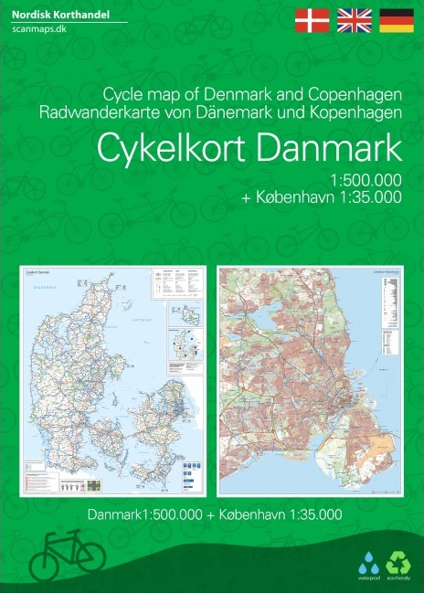
Demark at 1:100,000 on a series of sturdy, waterproof and tear-resistant, double-sided cycling maps from the Copenhagen-based Nordisk Korthandel, showing the country’s national, regional and local cycling routes with numbers, plus locations of campsites and youth hostels, etc.The maps show Denmark’s network of roads, railways and ferry...Read more
Official charts for the coast of Denmark produced by the Danish Hydrographic Office. The charts are ordered upon customer demand, therefore please contact us if you require the charts urgently.For any further information, you can contact maritime@stanfords.co.uk.Plans included in this chart:- Copenhagen, Northern part 1:10 000- Copenhagen,...Read more
Official charts for the coast of Denmark produced by the Danish Hydrographic Office. The charts are ordered upon customer demand, therefore please contact us if you require the charts urgently.For any further information, you can contact maritime@stanfords.co.uk.Plans included in this chart:- Indsejling til Skælskør 1:20,000- Bandholm 1:8,000Read more
Faeroe Islands at 1:100,000 on a large, indexed map from Freytag & Berndt with excellent presentation of their topography through contours at 50m intervals enhanced by relief shading, places of interest and ferry connections, etc, plus a street plan of Tórshavn.The map, published by F&B in cooperation with the locally based Henrik Solberg,...Read more
Faeroe Islands at 1:100,000 on a large, indexed map from Freytag & Berndt with excellent presentation of their topography through contours at 50m intervals enhanced by relief shading, places of interest and ferry connections, etc, plus a street plan of TRead more
Dänemark 1 : 300 000 ab 11.95 EURO Straßenkarte mit Distoguide via QR Code, Index. (Euro Map) Euro map Hallwag Straßenkarte. 5. Auflage, Laufzeit bis 2020Read more