Stanfords
United Kingdom
United Kingdom
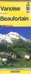
- Massif de la Vanoise IGN Wall Map
- Massif de la Vanoise presented on an encapsulated waterproof wall map, size 100 x 132cm (39.5” x 52” approx), with cartography of IGN’s excellent TOP25 series reduced slightly to 1:28,000. The map combines sections of TOP25 maps 3532ET, 3532OT, 3534OT, 3633ET and 3634OT to extend from Mâcot-la-Plagne and Aiguille Rouge in the north to Lac du... Read more

