Stanfords
United Kingdom
- Caribbean Islands East & South ITMB Travel Atlas
- The islands of the eastern and southern Caribbean presented by ITMB in a handy size, A5, paperback, indexed atlas with city centre street plans of main cities. The mapping is taken from ITMB’s extensive coverage of the region on individual country maps, so scales vary.The atlas covers: Antigua and Barbuda (1:35,000/25,000, with street plans of... Read more

Stanfords
United Kingdom
- Aruba Borch
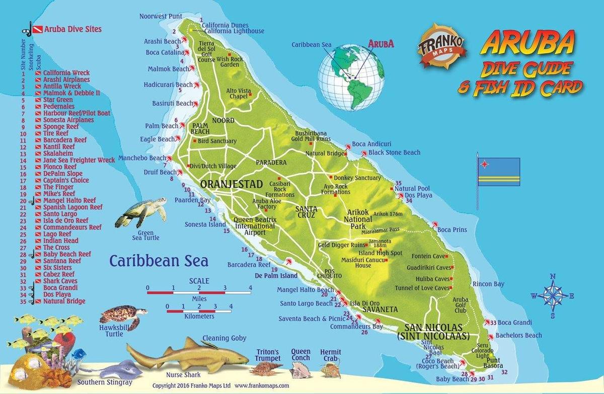
- Laminated, waterproof tourist map of Aruba from Borch, with street plans of Oranjestad and San Nicolas. The main map at 1:50,000 shows the boundaries of the Arikok National Park and highlights numerous places of interest, including beaches, shipwrecks, windsurfing and snorkeling sites, as well as information centres, petrol supplies, etc. The... Read more

De Zwerver
Netherlands
- Wegenkaart - landkaart Aruba | Borch
- Laminated, waterproof tourist map of Aruba from Borch, with street plans of Oranjestad and San Nicolas. The main map at 1:50,000 shows the boundaries of the Arikok National Park and highlights numerous places of interest, including beaches, shipwrecks, windsurfing and snorkeling sites, as well as information centres, petrol supplies, etc. The... Read more
» Click to close
De Zwerver
Netherlands

De Zwerver
Netherlands