
Greece
Description

Greece is a famous beach destination, and many island hoppers like to go for a walk now and again. Most islands are quite suitable for hiking, and locally guides and maps are available giving good descriptions of trails. But the crowded summer season is hot and dry. April is a much better month for hiking, with all flowers in full bloom, and also May, although it will start to get busier. June is more quiet but very hot. The busy season then lasts until winter. Although common in the past, your chances of actually following in the footsteps of mules carrying their loads in the traditional manner are dim.
But there is more. If you've had enough of the island's oregano, you can head for the mainland Pindos Mountains in the province of Epirus, on the border with Albania. European long distance trail E6, running from west to east, leads right across the Pindos. In the wide expanse of forests and pastures you may cross tracks with a bear (see the picture of a bear track which caused the author to freeze with fear), or if not, then at least with one or two herdsmen smelling of the inevitable ewe's cheese. Smolikos is the highest peak, reaching up to 2637m. Walking season in the mountains is from May, when the mountain tops are still covered in snow, until mid October. Greek mountain ranges have been made increasingly accessible over the years thanks to over 100 mountain huts.
Make an effort, and find out Greece has almost twenty national trails, maintained by regional mountaineering clubs. European long distance trail E4 enters Northern Greece from Bulgaria, and runs south via Mount Olympus (2918m), highest mountain of Greece and pleasant abode of Zeus. If you plan to spend the night there yourself in July or August, make sure to reserve in advance. The trail then leads across the Peleponessos, leaving it in the south, and continues on the island of Crete. Crete of course is famous for its Samaria gorge, the longest in Europe. It is impossible to lose your way here, simply join the crowd.
The Internet is not yet a very good source of information on Greek hiking, but maps and guides are easy to find. More information can be obtained through the Hellenic Federation of Mountaineering and Climbing.
Trails
Regions
- Agatohonissi, Dodecanese
- Amorgos, Cyclades
- Anafi, Cyclades
- Andros, Cyclades
- Antiparos, Cyclades
- Arki, Dodecanese
- Astipalea, Dodecanese
- Corfu
- Crete
- Cyclades Islands
- Dodecanese Islands
- Donoussa, Cyclades
- Folegandros, Cyclades
- Fourni, Dodecanese
- Greek Islands
- Ikaria, Dodecanese
- Ionian Islands
- Ios, Cyclades
- Iraklia, Cyclades
- Kalymnos, Dodecanese
- Karpathos
- Kea, Cyclades
- Kefalonia
- Kimolos, Cyclades
- Kithnos, Cyclades
- Kos
- Koufonisi, Cyclades
- Leros, Dodecanese
- Lesbos
- Lipsi, Dodecanese
- Milos, Cyclades
- Naxos, Cyclades
- Paros, Cyclades
- Patmos, Dodecanese
- Paxos
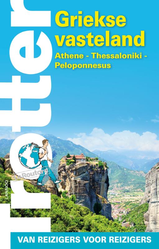
- Peleponnese
- Peloponnesos
- Pindos Mountains
- Rhodos
- Samos, Dodecanese
- Santorini, Cyclades
- Schinoussa, Cyclades
- Serifos, Cyclades
- Sifnos, Cyclades
- Sikinos, Cyclades
- Syros, Cyclades
- Telendos, Dodecanese
- Thirassia, Cyclades
- Tinos, Cyclades
- Zakynthos


 - by K.")


Links
Facts
Reports
Guides and maps
Lodging
Organisations
Tour operators
GPS
Other
Books

United Kingdom
- A Thing of Beauty: Travels in Mythical and Modern Greece
- ”Essential reading” Helen MoralesWhat do the Greek myths mean to us today?It`s now a golden age for these tales - they crop up in novels, films and popular culture. But what`s the modern relevance of Theseus, Hera and Pandora? Were these stories ever meant for children? And what`s to be seen now at the places where heroes fought and gods once... Read more

United Kingdom
2015
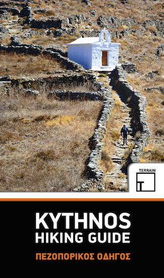
- Kythnos Hiking Guide
- Kythnos Hiking Guide by Terrain Editions, includes eleven walks into history, nature and the most interesting sights of Kythnos, one of the beautiful Cyclades islands in the Aegean sea. Explore Kythnos on foot, a small island boasting ninety sheltered bays, sixty exceptional sandy beaches, famous hot springs and a spa centre by the sea, nine... Read more
- Also available from:
- De Zwerver, Netherlands
Netherlands
2015
- Wandelgids Kythnos hiking guide | Terrain maps
- Kythnos Hiking Guide by Terrain Editions, includes eleven walks into history, nature and the most interesting sights of Kythnos, one of the beautiful Cyclades islands in the Aegean sea. Explore Kythnos on foot, a small island boasting ninety sheltered bays, sixty exceptional sandy beaches, famous hot springs and a spa centre by the sea, nine... Read more

United Kingdom
2014
- Southern Peloponnese Car Tours and Walks
- Southern Peloponnese in the Landscape series by Sunflower Books details car tours and walks in one of the most varied landscaped regions, from its highest mountain range Mt Taygetus, its largest forest Mt Parnon, its wildest seascapes, Capes Tainaron and Maleas, and some of its loveliest beaches Pylos, Kiparissi and Elafonisos to its finest... Read more

United Kingdom
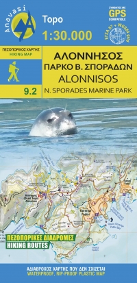
- Alonisos - Northern Sporades Marine Park Anavasi 9.2
- The island of Alonnisos on a light, waterproof and tear-resistant, contoured and GPS compatible map at 1:30,000 from Anavasi highlighting 14 recommended walks. On the reverse is a map showing the nearby islands of the Northern Sporades Marine Park highlighting locations of 16 archaeological sites. All place names are in both Greek and Latin... Read more
- Also available from:
- De Zwerver, Netherlands
Netherlands
- Wandelkaart 9.2 Alonnisos | Anavasi
- The island of Alonisos on a waterproof and tear-resistant, contoured and GPS compatible map at 1:25,000 from Anavasi highlighting 14 recommended walks. Coverage includes the near-by Peristera, and a separate inset shows 16 archaeological sites across the Northern SporadesLandscape is presented by contours at 10m intervals with hill shading and... Read more

United Kingdom
2006
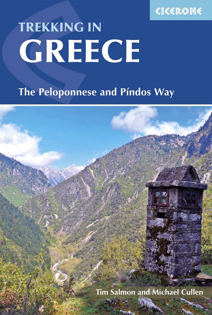
- Greece Mountain Walks
- The Mountains of Greece is Tim Salmon’s Cicerone guide to walking in some of Europe’s most demanding peaks, with contributions from Michael Cullen. The guide describes a traverse of the Pindhos range and walks in regions including Athens and the east coast, the Peleponnese and the Mani. Most of Greece’s mountains are undeveloped and remote, yet... Read more

United Kingdom
2023
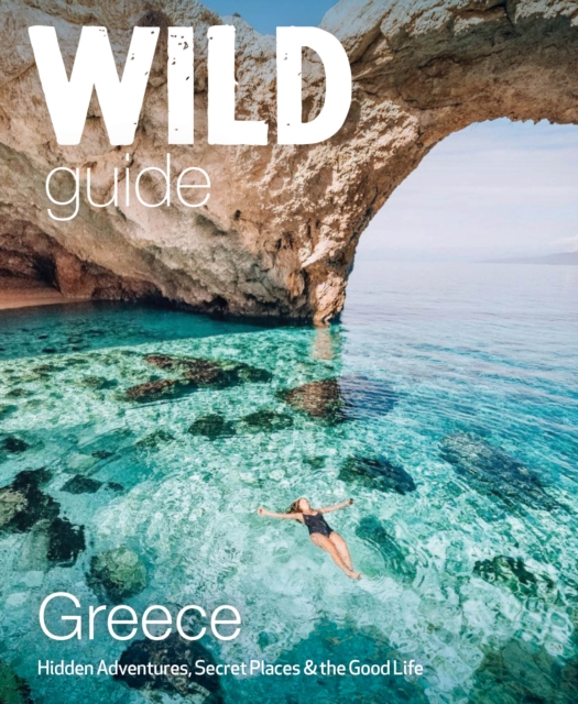
- Wild Guide Greece
- Hidden Places, Great Adventures and the Good Life (including the mainland, Crete, Corfu, Rhodes and over 20 other islands) Read more
- Also available from:
- De Zwerver, Netherlands
Netherlands
2023
- Reisgids Wild Guide Greece | Wild Things Publishing
- Hidden Places, Great Adventures and the Good Life (including the mainland, Crete, Corfu, Rhodes and over 20 other islands) Read more

United Kingdom
2019
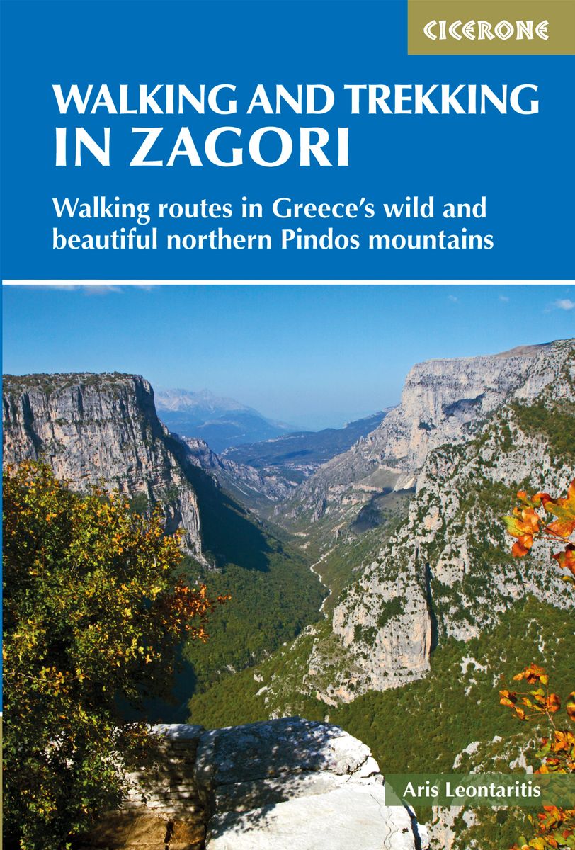
- Walking and Trekking in Zagori: Walking routes in Greece`s wild and beautiful northern Pindos mountains
- Zagori in Greece`s Northern Pindos National Park is among the last relatively undiscovered and unspoilt hiking destinations in Europe. This guide presents a selection of thirty walks and three short treks showcasing the region`s captivating scenery, from dramatic gorges to mystical forests, crystal-clear turquoise rivers, rugged alpine peaks... Read more
- Also available from:
- The Book Depository, United Kingdom
- De Zwerver, Netherlands

United Kingdom
2019
- Walking and Trekking in Zagori
- Walking routes in Greece's wild and beautiful northern Pindos mountains Read more
Netherlands
2019
- Wandelgids Walking and Trekking in the Zagori | Cicerone
- Guidebook to 30 walks and 3 treks centred on Zagori and Konitsa in mainland Greece. From easy strolls to demanding hikes along remote mountainous traverses, including the rugged peaks of Mt Timfi and Mt Smolikas in the Pindos range, Drakolimni Lake, and the dramatic Vikos Gorge. With background information on architecture, history and wildlife. Read more

- Also available from:
- De Zwerver, Netherlands

- Also available from:
- De Zwerver, Netherlands
Netherlands
2018
- Wandelgids Trekking in Greece - Griekenland | Cicerone
- Guidebook describing challenging treks in the mountains of Greece, traversing the Pindhos Range, near Athens, and the Peloponnese, plus a handful of shorter routes including Mount Olympus. The treks demand a high level of commitment and fitness due to their remoteness and difficult terrain, and boast stunning unspoilt scenery. Read more

- Also available from:
- De Zwerver, Netherlands
Netherlands
2018
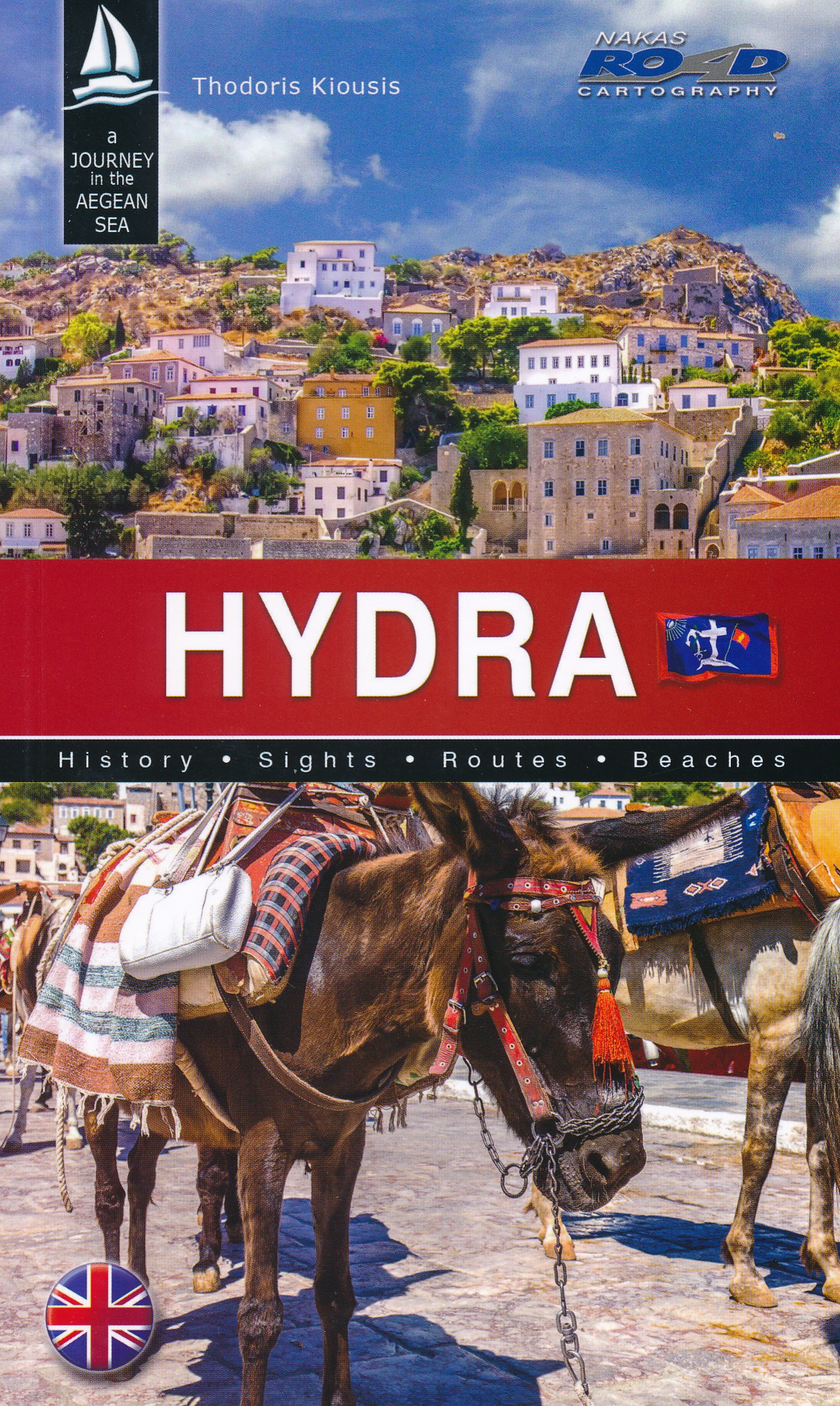
- Reisgids Hydra | Road Editions
- Algemene reisgids van het eiland Hydra met veel foto's. Achterin informatie voor bijvooibeeld wandelen, stranden of accommodatie. De culturele aspecten van het eiland komen uitgebreid aan bod. Read more

- Also available from:
- Bol.com, Belgium
Netherlands
2014
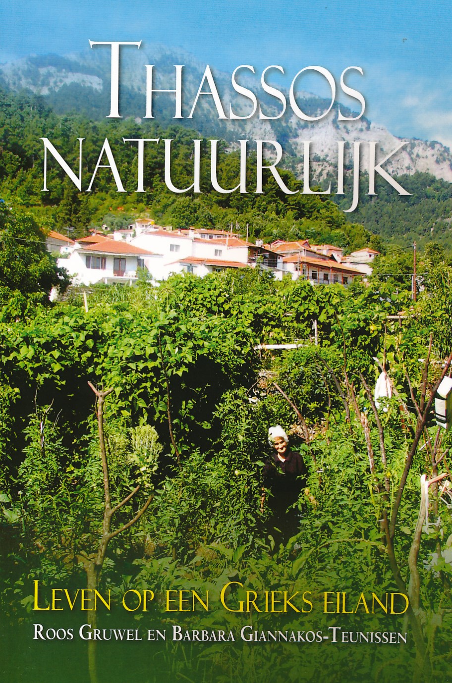
- Reisgids Thassos natuurlijk | Boekscout.nl
- Twee Nederlandse vrouwen geven een gedetailleerd beeld van het leven op Thassos, het bosrijke, bergachtige Griekse eiland. Ze geven inzicht in het leven van de Thassiten, die van hun voorouders geleerd hebben in harmonie met de natuur te leven en alles te gebruiken wat deze hen biedt. Een beschrijving van flora en fauna, van olijventeelt,... Read more
Netherlands
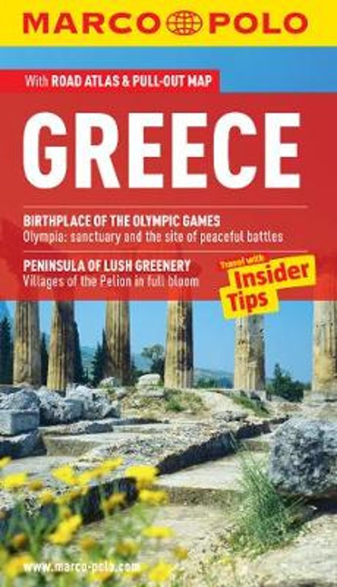
- Greece Marco Polo Pocket Guide
- Marco Polo Greece: the Travel Guide with Insider Tips! Experience all of Greece's attractions with this up-to-date and authoritative guide, complete with 'Best Of' recommendations. You'll discover excellent hotels and restaurants, find out all about the festivals and events and food and drink, plus ideas for shopping and tips for those on a... Read more
- Also available from:
- Bol.com, Belgium
Belgium
- Greece Marco Polo Pocket Guide
- Marco Polo Greece: the Travel Guide with Insider Tips! Experience all of Greece's attractions with this up-to-date and authoritative guide, complete with 'Best Of' recommendations. You'll discover excellent hotels and restaurants, find out all about the festivals and events and food and drink, plus ideas for shopping and tips for those on a... Read more
Maps

United Kingdom
- Lefkada Anavasi 9.1
- Lefkada / Lefkas in the Ionian Islands on light, a waterproof and tear-resistant, contoured and GPS compatible map at 1:40.000 from Anavasi, with on the reverse a street plan of the Lefkada Town, recommendations for hiking trails, general notes about the island, etc. Coverage includes the near-by island of Meganisi and part of the adjoining... Read more

United Kingdom
- Northern Agrafa - Plastira Lake Anavasi 4.1
- Northern Agrafa - Plastira Lake area at 1:50,000 on a light, waterproof and tear-resistant, GPS compatible contoured map from Anavasi, including on the reverse English descriptions of nine recommended hiking trails highlighted on the map. Coverage starts west of the peaks of Karavoula (on the northern edge of the map), Karava and Delidimi, and... Read more

United Kingdom
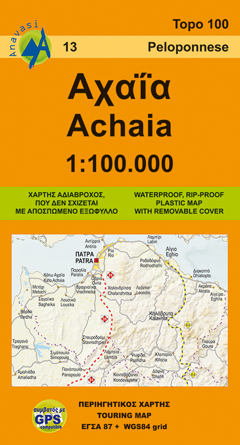
- Achaia Anavasi 13
- Achaia province with a plan of central Patras in a series from Anavasi covering selected popular areas of central mainland Greece and the Peloponnese with GPS compatible, detailed topographic road maps at 1:100,000, printed on waterproof and tear-resistant paper. The plan of central Patras is conveniently places on the detachable map... Read more
- Also available from:
- De Zwerver, Netherlands
Netherlands
- Wegenkaart - landkaart 13 Achaia - deel Peloponnesos | Anavasi
- Achaia province with a plan of central Patras in a series from Anavasi covering selected popular areas of central mainland Greece and the Peloponnese with GPS compatible, detailed topographic road maps at 1:100,000, printed on waterproof and tear-resistant paper. The plan of central Patras is conveniently places on the detachable map... Read more

United Kingdom
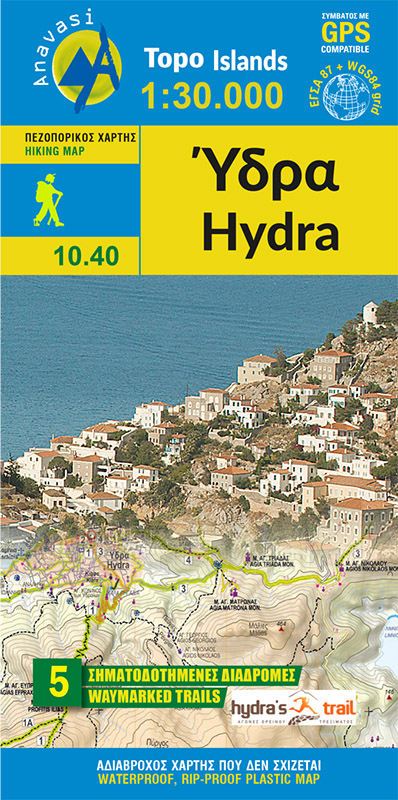
- Hydra Anavasi 10.40
- Greek island of Hydra at 1:25,000 on a waterproof and tear-resistant, contoured and GPS compatible map from Anavasi, showing hiking trails annotated with useful tips.On one side is a map of Hydra with contours at 20m intervals and hill shading to show the topography. The map indicates dirt roads in poor condition and distinguishes between cart... Read more
- Also available from:
- De Zwerver, Netherlands
Netherlands
- Wandelkaart 10.40 Hydra | Anavasi
- Greek island of Hydra at 1:25,000 on a waterproof and tear-resistant, contoured and GPS compatible map from Anavasi, showing hiking trails annotated with useful tips.On one side is a map of Hydra with contours at 20m intervals and hill shading to show the topography. The map indicates dirt roads in poor condition and distinguishes between cart... Read more

United Kingdom
2010
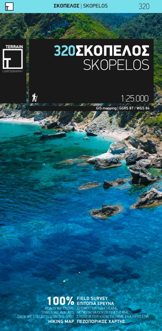
- Skopelos Terrain Editions 320
- Skopelos at 1:25,000 on a contoured, GPS compatible map published by Terrain Editions, printed on light, waterproof and tear-resistant synthetic paper. Beaches indicate their surface and facilities. All place names are shown in both Greek and Latin alphabet. On the reverse are brief descriptions of seven hiking trails, plus general information... Read more
- Also available from:
- De Zwerver, Netherlands
Netherlands
2010
- Wandelkaart 320 Skopelos | Terrain maps
- Gedetailleerde wegenkaart en wandelkaart met alle kleine wegen, wandelpaden, hoogtelijnen en toeristische informatie aangegeven. Alle tekst is tweetalig in Engels en Grieks en de waterproof kaart is geschikt voor gebruik met GPS. De uitgever: THIS IS THE BEST MAP OF SKOPELOS, BECAUSE: • It is the only GIS map of Skopelos made with data... Read more

United Kingdom
- Pirin (BG) - Orvilos - Vrontou (GR) Geopsis 134
- Pirin Mountais in south-western Bulgaria, plus Orvilos and Vrondous (Vrontou) Mountains in northern Greece on a light, waterproof and tear-resistant, contoured and GPS compatible amt at 1:50,000 from Greek publishers Geopsis, highlighting waymarked hiking trails, places of interest, etc.On one side are the Pirin Mountain in Bulgaria with... Read more

United Kingdom
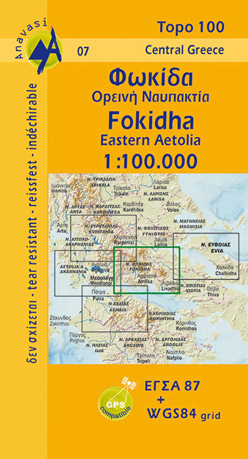
- Fokidha Anavasi 07
- Fokidha in a series from Anavasi covering selected popular areas of central mainland Greece and the Peloponnese with GPS compatible, detailed topographic road maps at 1:100,000, printed on waterproof and tear-resistant paper. Contours at 100m intervals (or 50m where indicated in the individual descriptions), relief shading and spot heights... Read more
- Also available from:
- De Zwerver, Netherlands
Netherlands
- Wegenkaart - landkaart 07 Fokis - Upland Nafpaktia | Anavasi
- Fokidha in a series from Anavasi covering selected popular areas of central mainland Greece and the Peloponnese with GPS compatible, detailed topographic road maps at 1:100,000, printed on waterproof and tear-resistant paper. Contours at 100m intervals (or 50m where indicated in the individual descriptions), relief shading and spot heights... Read more

United Kingdom
- Astypalaea / Astypalaia Terrain Editions 330
- Astypalaea on a light, waterproof and tear-resistant, contoured and GPS compatible map at 1:25,000 from Terrain Editions, with street plan of the Hora of Astypalaea at 1:4,000. The reverse side includes information on the island`s main rock climbing site with details of its 22 climbing routes, giving height, the number of bolts and the grades.... Read more

United Kingdom
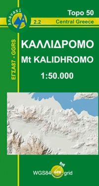
- Mt Kalidhromo Anavasi 2.2
- Mt Kalidhromo in a series of waterproof and tear-resistant hiking maps at scales varying from 1:50,000 to 1:10,000, with a UTM grid for GPS users. Contour interval varies depending on the scale, on most maps it is 20m. Relief shading, spot heights, springs, seasonal streams and, in most titles, landscape/land-use variations, e.g. forests,... Read more
- Also available from:
- De Zwerver, Netherlands
Netherlands
- Wandelkaart 2.2 Mt. Kalidhromo - Griekenland vasteland | Anavasi
- Mt Kalidhromo in a series of waterproof and tear-resistant hiking maps at scales varying from 1:50,000 to 1:10,000, with a UTM grid for GPS users. Contour interval varies depending on the scale, on most maps it is 20m. Relief shading, spot heights, springs, seasonal streams and, in most titles, landscape/land-use variations, e.g. forests,... Read more


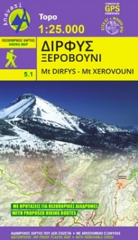
United Kingdom
- Mt Dhirfis - Mt Xerovouni Anavasi 5.11
- Mt Dhirfis in a series of waterproof and tear-resistant hiking maps at scales varying from 1:50,000 to 1:10,000, with a UTM grid for GPS users. Contour interval varies depending on the scale, on most maps it is 20m. Relief shading, spot heights, springs, seasonal streams and, in most titles, landscape/land-use variations, e.g. forests,... Read more
- Also available from:
- De Zwerver, Netherlands
Netherlands
- Wandelkaart 5.11 Mt. Dirfis - Mt. Xerovouni | Anavasi
- Mt Dhirfis in a series of waterproof and tear-resistant hiking maps at scales varying from 1:50,000 to 1:10,000, with a UTM grid for GPS users. Contour interval varies depending on the scale, on most maps it is 20m. Relief shading, spot heights, springs, seasonal streams and, in most titles, landscape/land-use variations, e.g. forests,... Read more

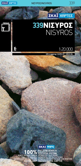
United Kingdom
- Nisyros Terrain Editions 339
- Nisyros and the nearby island of Ghyali at 1:20,000 on a contoured, GPS compatible hiking map published by Terrain Cartography group together with Skai Maps, and printed on light, waterproof and tear-resistant Polyart plastic paper, with extensive tourist information.Topography is very well presented by contours, enhanced by spot heights,... Read more
- Also available from:
- De Zwerver, Netherlands
Netherlands
- Wandelkaart 339 Nisyros | Terrain maps
- Nisyros and the nearby island of Ghyali at 1:20,000 on a contoured, GPS compatible hiking map published by Terrain Cartography group together with Skai Maps, and printed on light, waterproof and tear-resistant Polyart plastic paper, with extensive tourist information.Topography is very well presented by contours, enhanced by spot heights,... Read more

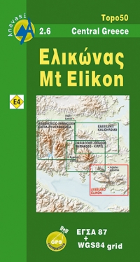
United Kingdom
- Mt Elikon Anavasi 2.6
- Mt Elikon in a series of waterproof and tear-resistant hiking maps at scales varying from 1:50,000 to 1:10,000, with a UTM grid for GPS users. Contour interval varies depending on the scale, on most maps it is 20m. Relief shading, spot heights, springs, seasonal streams and, in most titles, landscape/land-use variations, e.g. forests, orchards,... Read more
- Also available from:
- De Zwerver, Netherlands
Netherlands
- Wandelkaart 2.6 Mt. Elikon - Griekenland vasteland | Anavasi
- Mt Elikon in a series of waterproof and tear-resistant hiking maps at scales varying from 1:50,000 to 1:10,000, with a UTM grid for GPS users. Contour interval varies depending on the scale, on most maps it is 20m. Relief shading, spot heights, springs, seasonal streams and, in most titles, landscape/land-use variations, e.g. forests, orchards,... Read more

United Kingdom
- G27 Nisos Lesvos & the Coast of Turkey
- Imray’s series of charts of Greece and Turkey are comprehensive and easy-to-use sailing charts published on rip-proof, waterproof paper- ideal for use on small tables or in cockpits. They show detailed coastline and depth information, and are constantly corrected to reflect latest information. Designed primarily for yachtsmen, they are... Read more

United Kingdom
2012
- Valia Kalda - Vasilitsa Anavasi 6.4
- Pindos: Valia Kalda - Vasilitsa area at 1:50,000in a series of waterproof and tear-resistant hiking maps from Anavasi with a UTM grid for GPS users. The map covers part of the northern Pindus highlands, extending northwards from Metsovo to well beyond Smixi, ski centre on the northern slpes of Mt. Vasilitsa. With Samarina on its western margin... Read more