
Netherlands
Description

Is hiking possible in the Netherlands? After all, the country is flat as a pancake!
The answer is: Yes. In fact there are over 80 long distance hiking trails crisscrossing the country. The most important are labeled LAW, abbreviation for Lange Afstand Wandelpad (Dutch for Long Distance Hiking Trail). Walking them is a most enjoyable way of exploring Dutch countryside. Meadows grazing cows, sheep and horses, forests, sand dunes and wetlands, and many often centuries old towns along the way. Apart from the LAW's (red-white markings) there are (often) circular regional trails, the SP's (red-yellow markings).
The LAW's and SP's are maintained by Stichting Wandelnet, often in cooperation with the NIVON / Friends of Nature. But there are more organisations marking paths: two sport hiking organisations, the KNBLO (red-blue markings) and the NWB (orange-blue markings). Often, topoguides are issued of these paths. Lastly we must mention the provincial nature conservancy organisations, who set out interesting itineraries for nature lovers.
Recomended LAW's:
- Zuiderzeepad, 400 km, Hollands Golden Age on display.
- Trekvogelpad, 380 km, From West to East, varied trail, gives a good impression of the Netherlands as a whole.
- Maarten van Rossumpad, 308 km, also very varied.
- Wad- en Wierdenpad, 123 km, dykes, polders and vast views in the quiet north east of the country.
- Pieterpad, 492 km, maybe not the most attractive, but by far the most popular trail of the Netherlands.
Best hiking in the Netherlands is in the busy west. The Dutch Green Lung is the big empty space between the main cities The Hague, Amsterdam, Rotterdam and Utrecht. This space, barely known by the Dutch themselves (they rush along in cars), consists of polders, ingenuous waterways, dykes, lakes, and very old villages and farmsteads. The polder landscape can be found in the northern provinces too, or along the river delta. Some patches are very beautiful and you will experience real solitude, others can be boring.
All trails are waymarked, but not always very well. Luckily, there are excellent Dutch guidebooks, with an English section and with maps that show you the correct way. Several LAW's coincide with the European Long Distance Trails E2, E8, E9 and E11.
Enjoying the Netherlands is enjoying the odd encounter with people, villages, buildings, architecture, things happening, and the neat houses and gardens showing off one's high morale. There is also some remoteness in the North and North East. Dutch trails have no difficulties, except the occasional crossing of a busy road or sharing the path with horse-carts and bikers. Keep in mind you're walking on paved roads most of the time, and alternatively grassy, often wet dykes. Therefore, light waterproof shoes are best. Along most routes you will find camping sites, B&B's, shops and public transport in almost every village.
Map


Trails
- Achterhoekpad
- Airbornepad Market GardenGPX
- AlmerepadGPX
- Bevrijdingspad
- Brabants GrensdijkjespadGPX
- Brabants VennenpadGPX
- Brabantse WalGPX
- DeltapadGPX
- Dordtse Waardroute
- Drenthelaarspad
- DrenthepadGPX
- Duin- en PolderpadGPX
- Duinweg Rondwandeling
- E11GPX
- E2GPX
- E8GPX
- E9GPX
- Elfbekenpad
- Elfbergenpad
- Elfwegenpad
- Flevopad
- Floris V-padGPX
- Friese KustpadGPX
- Friese WoudenpadGPX
- Friese Woudweg
- Geert Grootepad
- GR12 - Amsterdam - ParisGPX
- GR122 - ScheldelandGPX
- GR5GPX
- GR561 - Kempen-MaaspadGPX
- GR565 - Renier SniederspadGPX
- Graaf van Hornepad
- GraafschapspadGPX
- GrebbeliniepadGPX
- GrenslandpadGPX
- Groene HartpadGPX
- Groene WisselGPX
- Groot-FrieslandpadGPX
- Grote RivierenpadGPX
- Handelsweg
- HanzestedenpadGPX
- Heerlijkheidspad
- Hertog HendrikpadGPX
- HertogenpadGPX
- Hollands KustpadGPX
- Hunze en Fivelpad
- Hunzepad
- IJsselweg
- JabikspaadGPX
- Jac. Gazenbeekweg
- JacobspadGPX
- Jacobspad LimburgGPX
- Jacobsweg Amstelredam
- Jacobsweg Amsvorde
- Jacobsweg Audenzeel
- Jacobsweg Die Haghe
- Jacobsweg Nieumeghen
- Jacobsweg Thuredrecht
- Jagerspad
- KempenGPX
- Kempen-BroekGPX
- KlompenpadenGPX
- KloosterpadGPX
- Koninklijke WegGPX
- KrijtlandpadGPX
- Kuierpaad Fryslân
- LingepadGPX
- Loop van de Drentsche Aa
- Loop van de Reest
- Loop van het Oude Diep
- Maarten van RossumpadGPX
- Maas- en PeelliniepadGPX
- Maas-NiederrheinpadGPX
- MaasduinenGPX
- MarskramerpadGPX
- Napoleonspad
- Nederlands KustpadGPX
- NoaberpadGPX
- Noord-HollandpadGPX
- North Sea TrailGPX
- NS WandeltochtenGPX
- OeverloperpadGPX
- Omringdijk WandelrouteGPX
- Omringdijkpad
- OosterscheldepadGPX
- Oude IJssel-Rijnpad
- Overijssels HavezatenpadGPX
- Peellandpad
- PelgrimspadGPX
- PieterpadGPX
- PionierspadGPX
- Reggepad & Dinkelpad
- ReynaertlandGPX
- Rijndeltapad
- Romeinse LimespadGPX
- Rondom Berg en Bosch
- Rondom de DomGPX
- Rondom de Groene Bedstee
- Rondom de Sint JanGPX
- Sallandspad
- Santiago de Compostela Pilgrims WayGPX
- ScholtenpadGPX
- Stelling van AmsterdamGPX
- Stichtse Dorpenpad
- Streekpad NijmegenGPX
- TexelpadGPX
- Tielerwaard Wandelroute
- TrekvogelpadGPX
- TwentepadGPX
- UilenspiegelpadGPX
- UtrechtpadGPX
- Van Wad tot IJ
- VechtdalpadGPX
- Veluwe ZwerfpadGPX
- Veluweweg
- Via BrabanticaGPX
- Via MonasticaGPX
- VisserpadGPX
- Wad- en WierdenpadGPX
- Walcherenroute
- WaterliniepadGPX
- Watersnoodpad
- WesterborkpadGPX
- Willebrordus Wandelpad
- WillibrorduswandelpadGPX
- Zuid-Hollandse Polderroute
- Zuid-Limburg Wandelroute
- ZuiderzeepadGPX
Regions
States


Links
Facts
Reports
Guides and maps
Lodging
Organisations
Tour operators
GPS
Other
Books
Netherlands
2015
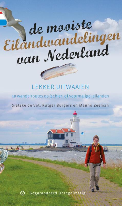
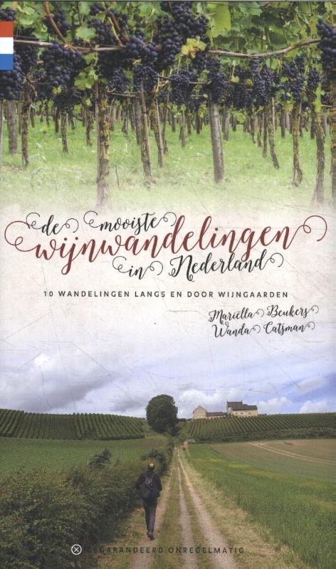
- Wandelgids De mooiste eilandwandelingen van Nederland | Gegarandeerd Onregelmatig
- Wat is er heerlijker dan uitwaaien op een eiland? Lekker stevig doorstappen langs het water. Overal om je heen het geluid van meeuwen, de zilte zeelucht of onverstoorbaar grazende schapen. Je hoofd helemaal leeg maken, turen naar de uitgestrekte horizon en halverwege de wandeling neerploffen bij een strandpaviljoen of restaurant. Behalve het... Read more
Netherlands
2018
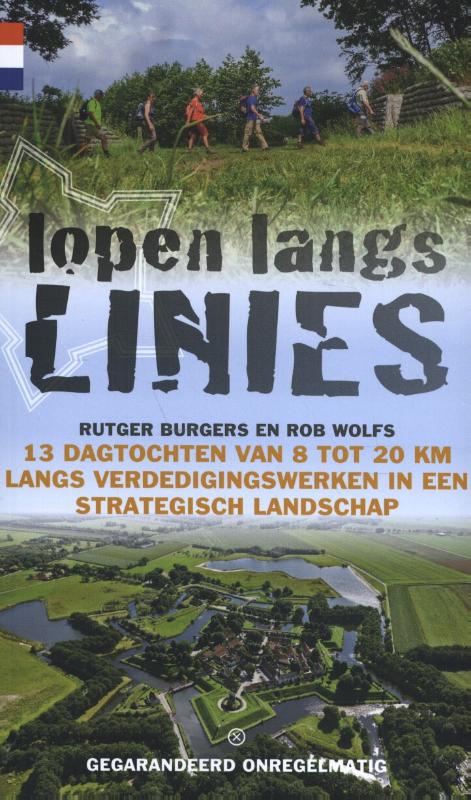
- Wandelgids Lopen langs linies | Gegarandeerd Onregelmatig
- 13 dagtochten van 8 tot 20 km langs verdedigingswerken in een strategisch landschap. Zoals gebruikelijk bij deze uitgever weer heel duidelijke beschrijvingen en goede kaarten. Nederland waterland: in onze hele geschiedenis is water altijd en overal een bedreiging geweest. Maar het feit dat grote delen van ons land onder de waterspiegel liggen... Read more
Netherlands
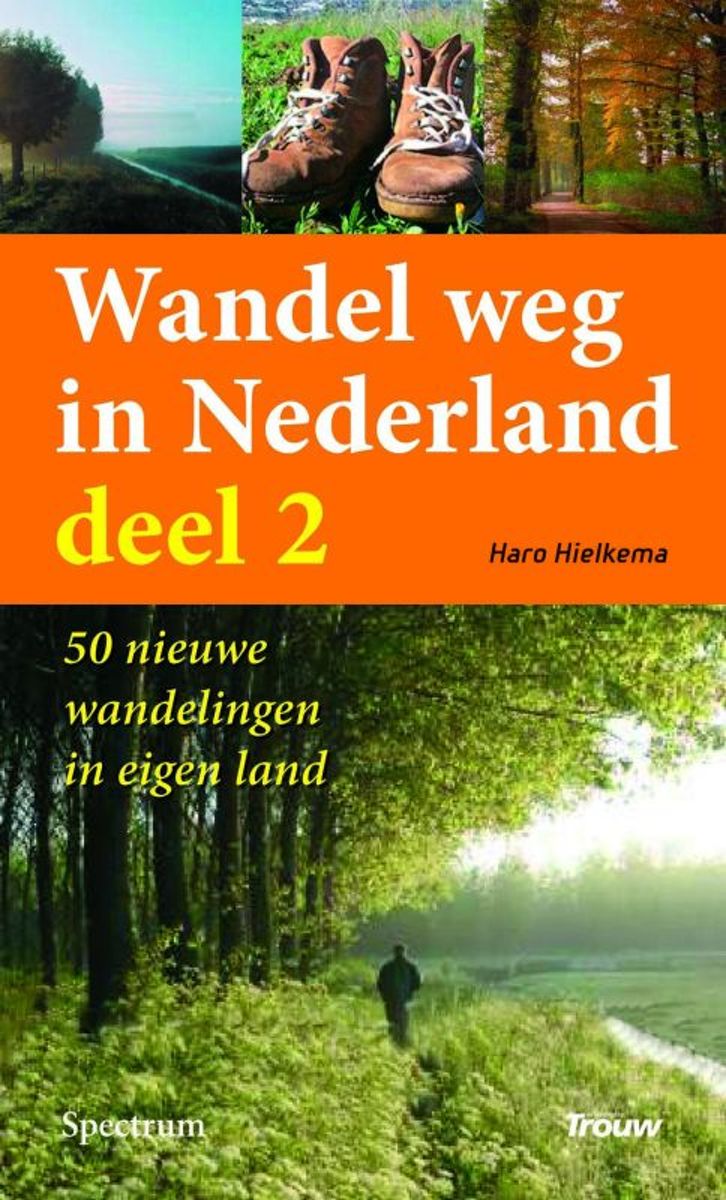
- Wandel Weg In Nederland
- Wandel weg in eigen land Vijftig nieuwe en verrassende wandelroutes. De vijftig unieke wandelroutes in dit boek vormen een selectie uit de wandelingen die Haro Hielkema de afgelopen jaren voor dagblad Trouw maakte. Niet de afstand of de prestatie staat bij deze tochten voorop, maar het verhaal achter het landschap, het genieten van het... Read more
- Also available from:
- Bol.com, Belgium
Belgium
- Wandel Weg In Nederland
- Wandel weg in eigen land Vijftig nieuwe en verrassende wandelroutes. De vijftig unieke wandelroutes in dit boek vormen een selectie uit de wandelingen die Haro Hielkema de afgelopen jaren voor dagblad Trouw maakte. Niet de afstand of de prestatie staat bij deze tochten voorop, maar het verhaal achter het landschap, het genieten van het... Read more

Netherlands
- Puur Wonen
- In Puur wonen laten Julia Bird en Bridget Bodoano aan de hand van échte huizen in Amerika, Engeland en Nederland zien hoe elk interieur een ontspannen karakter kan krijgen, vaak al met bescheiden ingrepen. Woonstijlen van klassiek tot landelijk en modern komen aan bod, van buitenshuis tot stadsappartement. Hoe deel je een ruimte in? Hoe maak je... Read more
- Also available from:
- Bol.com, Belgium
Belgium
- Puur Wonen
- In Puur wonen laten Julia Bird en Bridget Bodoano aan de hand van échte huizen in Amerika, Engeland en Nederland zien hoe elk interieur een ontspannen karakter kan krijgen, vaak al met bescheiden ingrepen. Woonstijlen van klassiek tot landelijk en modern komen aan bod, van buitenshuis tot stadsappartement. Hoe deel je een ruimte in? Hoe maak je... Read more
Netherlands
2016
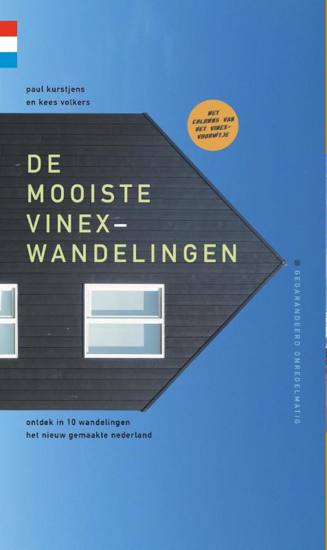
- Wandelgids De mooiste vinexwandelingen | Gegarandeerd Onregelmatig
- ontdek in 10 wandelingen het nieuw gemaakte Nederland Read more
Netherlands
2017
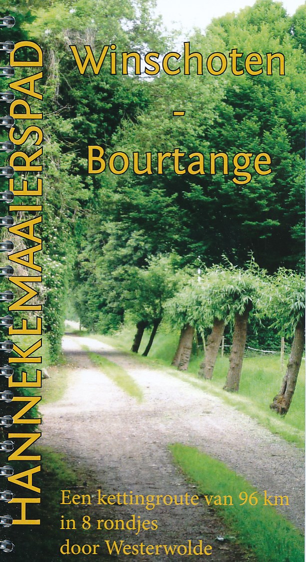
- Wandelgids Winschoten - Bourtange | Hannekemaaierspad
- De route gaat eerst langs de rand van de voormalige rand van de Dollard (Noordzee). HIer heeft zich klei afgezet, waardoor goede landbouwgrond ontstond. Daarna volgt het traject de oude zandrug van Blijham tot Bourtange. Deze route is opgebouwd uit een aaneenschakeling van 8 rondjes van ca. 12 km. Hierdoor is heen en weer reizen aan het begin... Read more
Netherlands
2012
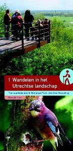
- Wandelgids Wandelen in het Utrechtse landschap | Buijten & Schipperheijn
- Tien wandelingen in een bijzonder stuwwallengebied: de Utrechtse Heuvelrug. De natuurjournalist Kees de Heer brengt je op de mooiste plekken. Met kennis van zaken en veel enthousiasme wijst hij op bijzondere elementen in het landschap: bodemopbouw, reliëfverschillen de ontginningsgeschiedenis, oude patronen, tuinstijlen en andere... Read more
Netherlands
2011
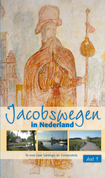
- WANDEL EN FIETSGIDS VAN WAD TOT IJ
- De lang gevoelde behoefte aan een gids met Nederlandse routes naar Santiago is in vervulling gegaan. In november 2011 is de dubbelgids Jacobswegen in Nederland verschenen. In deel 1 komen de wegen vanuit het westen aan bod. De hoofdroute begint in Den Oever en voert via Haarlem, Amsterdam, Utrecht en ’s-Hertogenbosch naar Postel en Roermond.... Read more
- Also available from:
- Bol.com, Belgium
Belgium
2011
- WANDEL EN FIETSGIDS VAN WAD TOT IJ
- De lang gevoelde behoefte aan een gids met Nederlandse routes naar Santiago is in vervulling gegaan. In november 2011 is de dubbelgids Jacobswegen in Nederland verschenen. In deel 1 komen de wegen vanuit het westen aan bod. De hoofdroute begint in Den Oever en voert via Haarlem, Amsterdam, Utrecht en ’s-Hertogenbosch naar Postel en Roermond.... Read more
Netherlands
2009
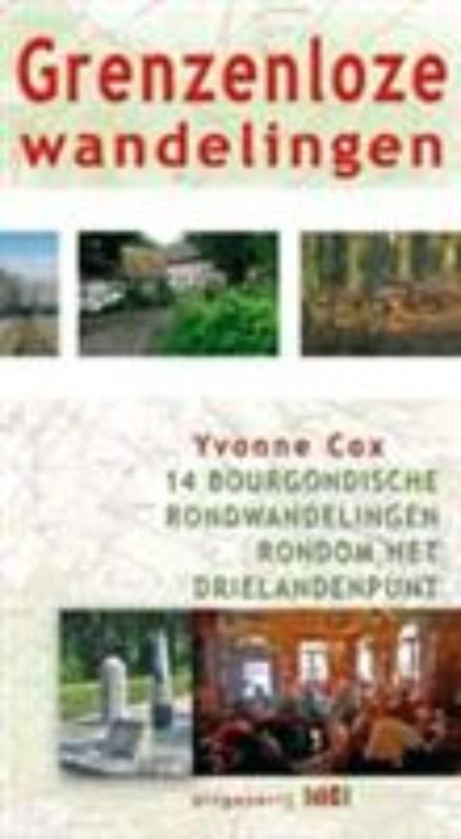
- Grenzeloze wandelingen
- Het gebied rondom Vaals is wereldberoemd in Nederland. Vanwege het Drielandenpunt, vanwege de hoogste berg van Nederland en vanwege het voor Nederland unieke landschap. Heerlijke vergezichten, uitgestrekte, beboste heuvels, uitstekende kerktorens en de gemoedelijke aard van zijn bewoners. Dat alles in combinatie met de Bourgondische manier van... Read more
- Also available from:
- Bol.com, Belgium
Belgium
2009
- Grenzeloze wandelingen
- Het gebied rondom Vaals is wereldberoemd in Nederland. Vanwege het Drielandenpunt, vanwege de hoogste berg van Nederland en vanwege het voor Nederland unieke landschap. Heerlijke vergezichten, uitgestrekte, beboste heuvels, uitstekende kerktorens en de gemoedelijke aard van zijn bewoners. Dat alles in combinatie met de Bourgondische manier van... Read more

Netherlands
2010
- Op Pad Met On Track / Pontjes En Veren
- Op pad met On Track- 14 wandel- en fietsroutes van 10 tot 43 km- gedetailleerde topografische kaarten bij elke route- duidelijke routebeschrijving, punt voor punt beschreven- talrijke natuurweetjes- praktische informatie over het start- en eindpunt, horeca onderweg, wandelen met de hond en bereikbaarheid- gratis inlogcode voor het bekijken en... Read more
- Also available from:
- Bol.com, Belgium
Belgium
2010
- Op Pad Met On Track / Pontjes En Veren
- Op pad met On Track- 14 wandel- en fietsroutes van 10 tot 43 km- gedetailleerde topografische kaarten bij elke route- duidelijke routebeschrijving, punt voor punt beschreven- talrijke natuurweetjes- praktische informatie over het start- en eindpunt, horeca onderweg, wandelen met de hond en bereikbaarheid- gratis inlogcode voor het bekijken en... Read more
Netherlands
2019
Netherlands
2020
Netherlands
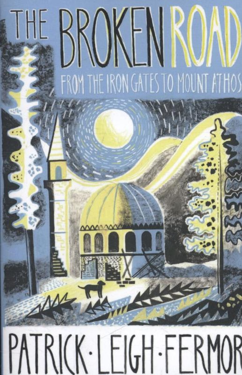
- Broken Road
- The long-awaited final volume of the trilogy by Patrick Leigh Fermor. A Time of Gifts and Between the Woods and the Water were the first two volumes in a projected trilogy that would describe the walk that Patrick Leigh Fermor undertook at the age of eighteen from the Hook of Holland to Constantinople. 'When are you going to finish Vol. III?'... Read more
- Also available from:
- Bol.com, Belgium
Belgium
- Broken Road
- The long-awaited final volume of the trilogy by Patrick Leigh Fermor. A Time of Gifts and Between the Woods and the Water were the first two volumes in a projected trilogy that would describe the walk that Patrick Leigh Fermor undertook at the age of eighteen from the Hook of Holland to Constantinople. 'When are you going to finish Vol. III?'... Read more
Netherlands
2021
Netherlands
2014
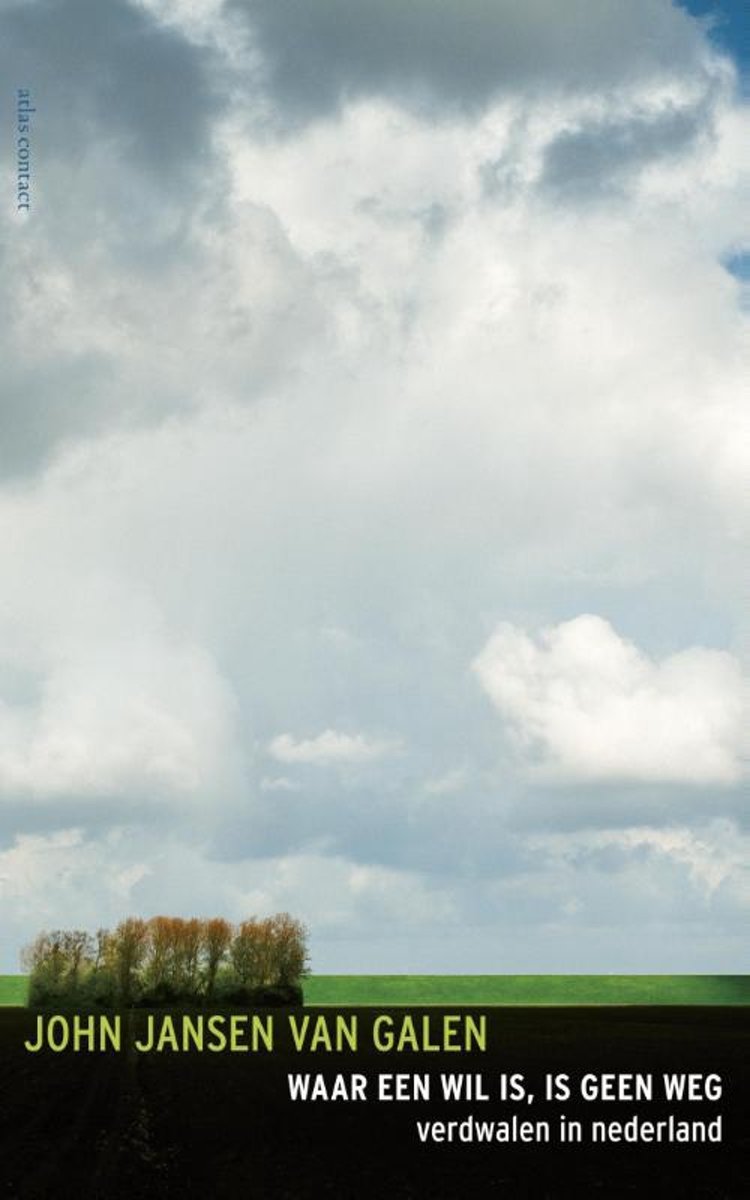
- Waar een wil is, is geen weg
- 'Overal waar ik in Nederland wandel, ben ik in de greep van een organisatie,' heeft Koos van Zomeren eens gezegd. Hij heeft gelijk: het hele land is overdekt met een dicht netwerk van paaltjes en paddenstoelen met gemarkeerde, uitgezette, nauwgezet beschreven wandelroutes. GPS doet de rest: het is schier onmogelijk geworden te verdwalen in een... Read more
- Also available from:
- Bol.com, Belgium
Belgium
2014
- Waar een wil is, is geen weg
- 'Overal waar ik in Nederland wandel, ben ik in de greep van een organisatie,' heeft Koos van Zomeren eens gezegd. Hij heeft gelijk: het hele land is overdekt met een dicht netwerk van paaltjes en paddenstoelen met gemarkeerde, uitgezette, nauwgezet beschreven wandelroutes. GPS doet de rest: het is schier onmogelijk geworden te verdwalen in een... Read more
Maps

United Kingdom
2010
- Gelderse Valley
- Gelderse Valley on a waterproof, tear-resistant, GPS compatible walking map at 1:25,000 from Trage Paden, in a series of maps with extensive overprint for long-distance and local walking routes. GPS waypoints and route profiles are available for download from the publisher’s website.Contours used in this map series vary between 2,5 to 5m... Read more

United Kingdom
- Het Groene Woud
- “Het Groene Woud” map in 1:25,000 belong to a series of eleven walking from Falk, which cover the most beautiful hiking areas in four regions: North Brabant in the south, the tip of North Holland, Friesland and Groningen in the north of the country.“Het Groene Woud” (the green forest) map covers an area of approximately 26 x 16 km in North... Read more

United Kingdom
- De Peel
- De Peel area of the Netherlands in a series of walking and cycling maps at 1:25,000 – 1:35,000, published by Falk BV in cooperation with Staatsbosbeheer – Dutch government’s organization for forestry and the management of nature reserves.Colouring indicates different types of vegetation or terrain: woodland, pastures, heath or sand dunes. Given... Read more

United Kingdom
- Belgian Coast - Bruges Cycling Map 30
- The coast of Belgium at 1:50,000 in a series from Falk B.V. showing the network of signposted cycling routes on large, double-sided indexed maps with prominent highlighting of long-distance LF routes, symbols indicating accommodation and other tourist services, plus in each title two or more panels with recommended local circuits and additional... Read more

United Kingdom
- South-Holland North - Green Heart West and Bollenstreek Falkplan Cycling Map 14
- The northern part of the South Holland Province of the Netherlands at 1:50,000 in a series from Falk B.V. showing the network of signposted cycling routes on large, double-sided indexed maps with prominent highlighting of long-distance LF routes, symbols indicating accommodation and other tourist services, plus in each title two or more panels... Read more
United Kingdom
- De Biesbosch
- De Biesbosch area of the Netherlands in a series of walking and cycling maps at 1:25,000 – 1:35,000, published by Falk BV in cooperation with Staatsbosbeheer – Dutch government’s organization for forestry and the management of nature reserves.Colouring indicates different types of vegetation or terrain: woodland, pastures, heath or sand dunes.... Read more
United Kingdom
- Dwingelderveld - Ruinen
- Dwingelderveld - Ruinen area of the Netherlands in a series of walking and cycling maps at 1:25,000 – 1:35,000, published by Falk BV in cooperation with Staatsbosbeheer – Dutch government’s organization for forestry and the management of nature reserves.Colouring indicates different types of vegetation or terrain: woodland, pastures, heath or... Read more
United Kingdom
- Meinweg - Leudal
- Meinweg - Leudal area of the Netherlands in a series of walking and cycling maps at 1:25,000 – 1:35,000, published by Falk BV in cooperation with Staatsbosbeheer – Dutch government’s organization for forestry and the management of nature reserves.Colouring indicates different types of vegetation or terrain: woodland, pastures, heath or sand... Read more
United Kingdom
- Netherlands Falkplan Cycling Atlas
- Cycling atlas of the Netherlands at 1:75,000 from Falk BV, presenting in one A5 spiral-bound volume the country’s extensive network of signposted cycling routes and junctions, including the long-distance LF trails and smaller local cycle paths. The network consists of numbered junctions joined by sign-posted connecting routes in either... Read more
United Kingdom
- Drentsche A
- Drentsche A area of the Netherlands in a series of walking and cycling maps at 1:25,000 – 1:35,000, published by Falk BV in cooperation with Staatsbosbeheer – Dutch government’s organization for forestry and the management of nature reserves.Colouring indicates different types of vegetation or terrain: woodland, pastures, heath or sand dunes.... Read more
United Kingdom
- Oostvaardersplassen
- Oostvaardersplassen area of the Netherlands in a series of walking and cycling maps at 1:25,000 – 1:35,000, published by Falk BV in cooperation with Staatsbosbeheer – Dutch government’s organization for forestry and the management of nature reserves.Colouring indicates different types of vegetation or terrain: woodland, pastures, heath or sand... Read more

United Kingdom
- Gooi & Vechtstreek: Hilversum - Amersfoort - Utrecht
- Gooi and Vechtstreek - a popular hiking area south-east of Amsterdam - on a light, double-sided, waterproof and tear-resistant, GPS-compatible maps at 1:25,000 from ANWB, the country’s main motoring and touring organization. Coverage on the northern side extends southwards from the historic town of Naarden, and west/east between the... Read more

United Kingdom
- Rhine Cycle Route 4 - Cologne to Hoek van Holland Bikeline Map-Guide
- The Rhine Cycle Route Part 4 – a 442-km long section from Cologne to the North Sea presented by Verlag Esterbauer in a guide with maps at 1:75,000 showing the route and its variants. Extensive information is conveyed by symbols, indicating road surface, campsites and other accommodation, repair workshops, recreational facilities, places of... Read more
United Kingdom
- Baronie van Breda
- Baronie van Breda area of the Netherlands in a series of walking and cycling maps at 1:25,000 – 1:35,000, published by Falk BV in cooperation with Staatsbosbeheer – Dutch government’s organization for forestry and the management of nature reserves.Colouring indicates different types of vegetation or terrain: woodland, pastures, heath or sand... Read more
United Kingdom
- De Weerribben
- De Weerribben area of the Netherlands in a series of walking and cycling maps at 1:25,000 – 1:35,000, published by Falk BV in cooperation with Staatsbosbeheer – Dutch government’s organization for forestry and the management of nature reserves.Colouring indicates different types of vegetation or terrain: woodland, pastures, heath or sand dunes.... Read more