
Galicia
Description
Map

Trails in this region
- Camino PrimitivoGPX
- GR1 Sendero Histórico, Senda TransversalGPX
- GR50 Ruta do MedievoGPX
- GR52 Ruta dos RíosGPX
- GR53 Sendero Panorámico de VigoGPX
- GR56 TransourensanoGPX
- GR57 Camí da FranqueiraGPX
- GR58 Sendero As GreasGPX
- GR59 Sender Roteiro Ecolóxico do MorrazoGPX
- GR65 Camino de SantiagoGPX
- GR94 Sendero Rural de GaliciaGPX
Links
Facts
Reports
Guides and maps
Lodging
Organisations
Tour operators
GPS
Other
Books

Stanfords
United Kingdom
United Kingdom
- DK Eyewitness Spain
- Discover Spain - a compelling country filled with must-see sightsWhether you want to explore Granada`s spectacular Alhambra palace, watch swirling flamenco dancers in Seville or walk through lush countryside on the epic Camino de Santiago, your DK Eyewitness travel guide makes sure you experience all that Spain has to offer.From the golden... Read more

Stanfords
United Kingdom
2021
United Kingdom
2021
- Camino de Santiago: The ancient Way of Saint James pilgrimage route from the French Pyrenees to Santiago de Compostela
- El Camino de Santiago de Compostela, the ancient Christian pilgrimage route has been travelled for over a thousand years to the Cathedral of Santiago de Compostela, where, legend has it, the bones of St James are buried. This guide follows the most popular route, starting at St Jean-Pied-de-Port in south-west France and heading all the way... Read more

Stanfords
United Kingdom
United Kingdom
- DK Eyewitness Northern Spain
- Explore wild mountain terrain, vibrant cities and romantic coastline.Whether you want to trek the dramatic peaks of the Picos de Europa, appreciate contemporary art at Museo Guggenheim or hop from bar to bar in the side streets of San Sebastian, your DK Eyewitness travel guide makes sure you experience all that Northern Spain has to offer.Our... Read more

Stanfords
United Kingdom
United Kingdom
- DK Eyewitness Northern Spain
- Your journey starts here. Featuring DK`s much-loved maps and illustrations, walks and information, plus all new, full-colour photography, this 100% updated guide to Northern Spain brings you the best of this stunning Spanish region in a brand-new, lightweight format. What`s inside? - full-colour photography, hand-drawn illustrations, and maps... Read more

Stanfords
United Kingdom
United Kingdom
- DK Eyewitness Road Trips Spain
- With its idyllic hilltop villages, historic cities, coastal towns, and stunning natural landscapes, Spain is the perfect destination for a leisurely road trip. It`s yours to explore with Road Trips Spain, our redesigned and newly updated guide containing 25 drives across the country, from the spectacular rocky coastline of Mallorca to the... Read more

Stanfords
United Kingdom
United Kingdom
- Islands of the Galician Coast National Park CNIG Map-Guide SPANISH
- Islands of the Galician Coast National Park (PN Marítimo-Terrestre de las Islas Atlánticas de Galicia) at 1:25,000 on a contoured and GPS compatible map from IGN/CNIG with cartography from their topographic survey of Spain. The four groups of islands which form this national park are presented as a separate panel: Illa de Cortagada with the... Read more
Stanfords
United Kingdom
2020
United Kingdom
2020
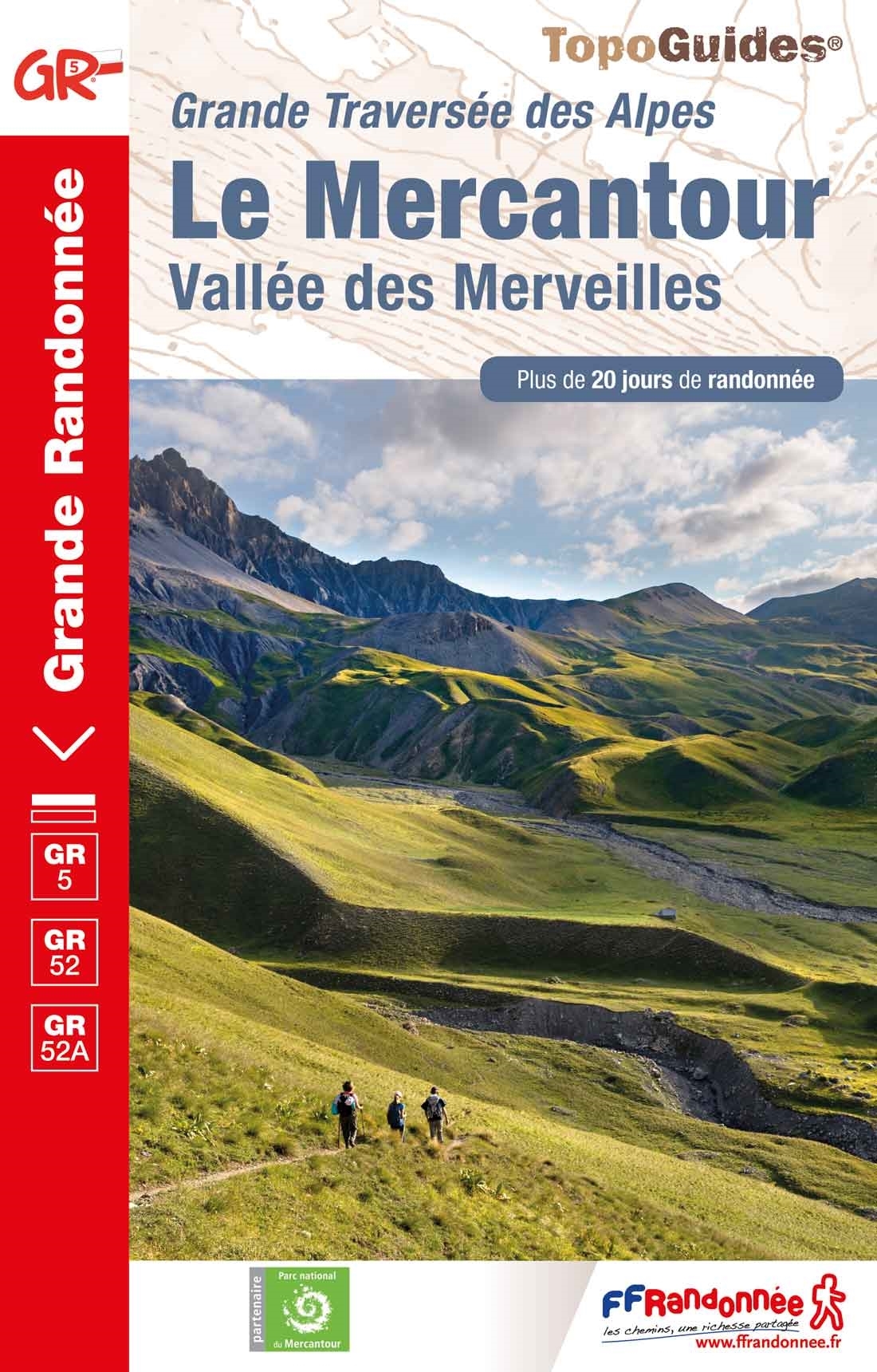
- Le Mercantour - Vallee des Merveilles GR5/GR52/52A
- Le Mercantour: Larche – Nice/Menton, Vallée des Merveilles, FFRP topoguide Ref. No. 507, covering 450km of long-distance routes: the last section of the GR5 in the French Alps from Larche to Nice, an alternative variant off GR5 along the GR52 leading via the Vallée des Merveilles to Menton, plus GR52A – Panoramique du Mecantour from Col du... Read more

Stanfords
United Kingdom
2019
United Kingdom
2019
- La Traversée des Alpes de la Maurienne a l`Ubaye GR5/GR56
- 9 days from Modane to Larche by the GR5, as much for the tour of Ubaye.Grande Traversée des Alpes: de la Maurienne a l`Ubaye, FFRP topoguide Ref. No. 531, covering the third stage of the GR5 in the French Alps from Modane to Larche, plus the Tour de l`Ubaye at its southern end, in all 272km for hiking routes. Current edition of this title was... Read more

Stanfords
United Kingdom
2017
United Kingdom
2017
- Sentiers de St- Jacques via le Puy - Moissac to Roncevaux GR65
- Continuation and end of the Puy road, through Quercy, Béarn and Basque Country. More than 15 days of hiking.Chemins de St- Jacques: Moissac - Roncevaux (Roncesvalles), FFRP topoguide Ref. no. 653, covering the last, 345-km long section of the Way of St. James in France along the GR65 between Le Puy-en-Velay to the Spanish border. Current... Read more

Stanfords
United Kingdom
2012
United Kingdom
2012
- GR93/GR94 Tours dans les Hautes-Alpes FFRP Topo-guide No. 940
- Tours dans les Hautes-Alpes, FFRP topoguide Ref. no. 940, covering 691km of hiking routes along the GR93 and GR94 in the French Alps west of Gap. The routes can be combined, as required, into shorter or longer circuits. Current edition of this title was published in June 2012.ABOUT THE FFRP (Fédération française de la randonnée pédestre)... Read more

Stanfords
United Kingdom
2019
United Kingdom
2019
- Sentiers de Saint-Jacques-de-Compostelle - Via Le Puy - Geneve - Le Puy GR65
- Chemins de St-Jacques: Geneva - Le Puy-en-Velay, FFRP topoguide Ref. No. 650, covering a 360km section of the GR65 along one of the routes of the Way of St. James across France. Current edition of this title was published in March 2016.ABOUT THE FFRP (Fédération française de la randonnée pédestre) TOPOGUIDES: published in a handy A5 paperback... Read more

Stanfords
United Kingdom
2016
United Kingdom
2016
- St-Jacques-de-Compostelle - Puy-en-Velay to Moissac GR65-1 IGN 89020
- Chemin de St-Jacques - the Way of St James in France along the GR65 between Le Puy-en-Velay and Moissac presented at 1:100,000 on a double-sided, waterproof and tear-resistant map from IGN with cartography from their highly popular TOP100 series. The route is prominently highlighted on contoured mapping and annotated with hiking distances.... Read more

Stanfords
United Kingdom
2016
United Kingdom
2016
- St-Jacques-de-Compostelle - Moissac to Roncevaux / Roncesvalles GR65-2 IGN 89021
- Chemin de St-Jacques - the Way of St James in France along the GR65 between Moissac and Roncevaux/Roncesvalles in the Spanish Pyrenees presented at 1:100,000 on a double-sided, waterproof and tear-resistant map from IGN with cartography from their highly popular TOP100 series. The route is prominently highlighted on contoured mapping and... Read more
Stanfords
United Kingdom
2018
United Kingdom
2018
- Sentiers de St-Jacques via le Puy - Le Puy to Figeac GR65
- Chemins de St-Jacques: Le Puy - Figeac, FFRP topoguide Ref. no. 651, covering a 252km section of the Way of St. James across the Massif Central from Le Puy-en-Velay to Figeac along the GR 65. Current edition of this title was published in August 2014.ABOUT THE FFRP (Fédération française de la randonnée pédestre) TOPOGUIDES: published in a handy... Read more

- Also available from:
- De Zwerver, Netherlands

De Zwerver
Netherlands
2021
Netherlands
2021
Maps

Stanfords
United Kingdom
United Kingdom
- Villarejo de Fuentes CNIG Topo 661
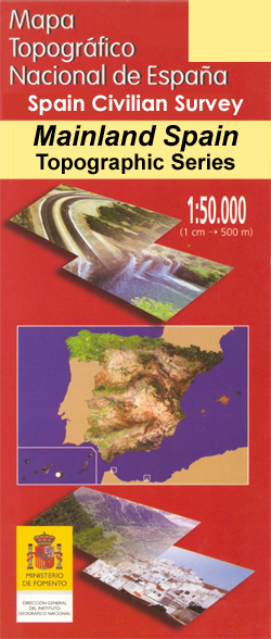
- Topographic coverage of mainland Spain at 1:50,000 in the MTN50 (Mapa Topográfico Nacional) series from the Centro Nacional de Información Geografica, the country’s civilian survey organization. The maps have contours at 20m intervals, enhanced by relief shading, plus colouring and/or graphics to show different types of terrain, vegetation or... Read more

Stanfords
United Kingdom
United Kingdom
- Alcaudete CNIG Topo 968
- Topographic coverage of mainland Spain at 1:50,000 in the MTN50 (Mapa Topográfico Nacional) series from the Centro Nacional de Información Geografica, the country’s civilian survey organization. The maps have contours at 20m intervals, enhanced by relief shading, plus colouring and/or graphics to show different types of terrain, vegetation or... Read more

Stanfords
United Kingdom
United Kingdom
- Puente de Domingo Florez CNIG Topo 191
- Topographic coverage of mainland Spain at 1:50,000 in the MTN50 (Mapa Topográfico Nacional) series from the Centro Nacional de Información Geografica, the country’s civilian survey organization. The maps have contours at 20m intervals, enhanced by relief shading, plus colouring and/or graphics to show different types of terrain, vegetation or... Read more

Stanfords
United Kingdom
United Kingdom
- Alcañiz CNIG Topo 469
- Topographic coverage of mainland Spain at 1:50,000 in the MTN50 (Mapa Topográfico Nacional) series from the Centro Nacional de Información Geografica, the country’s civilian survey organization. The maps have contours at 20m intervals, enhanced by relief shading, plus colouring and/or graphics to show different types of terrain, vegetation or... Read more

Stanfords
United Kingdom
United Kingdom
- Cortes de la Frontera CNIG Topo 1064
- Topographic coverage of mainland Spain at 1:50,000 in the MTN50 (Mapa Topográfico Nacional) series from the Centro Nacional de Información Geografica, the country’s civilian survey organization. The maps have contours at 20m intervals, enhanced by relief shading, plus colouring and/or graphics to show different types of terrain, vegetation or... Read more
Stanfords
United Kingdom
United Kingdom
- Montforte de Lemos CNIG Topo 156
- Topographic coverage of mainland Spain at 1:50,000 in the MTN50 (Mapa Topográfico Nacional) series from the Centro Nacional de Información Geografica, the country’s civilian survey organization. The maps have contours at 20m intervals, enhanced by relief shading, plus colouring and/or graphics to show different types of terrain, vegetation or... Read more
Stanfords
United Kingdom
United Kingdom
- Uncastillo CNIG Topo 208
- Topographic coverage of mainland Spain at 1:50,000 in the MTN50 (Mapa Topográfico Nacional) series from the Centro Nacional de Información Geografica, the country’s civilian survey organization. The maps have contours at 20m intervals, enhanced by relief shading, plus colouring and/or graphics to show different types of terrain, vegetation or... Read more

Stanfords
United Kingdom
United Kingdom
- Vera CNIG Topo 1014
- Topographic coverage of mainland Spain at 1:50,000 in the MTN50 (Mapa Topográfico Nacional) series from the Centro Nacional de Información Geografica, the country’s civilian survey organization. The maps have contours at 20m intervals, enhanced by relief shading, plus colouring and/or graphics to show different types of terrain, vegetation or... Read more

Stanfords
United Kingdom
United Kingdom
- Ezcaray CNIG Topo 240
- Topographic coverage of mainland Spain at 1:50,000 in the MTN50 (Mapa Topográfico Nacional) series from the Centro Nacional de Información Geografica, the country’s civilian survey organization. The maps have contours at 20m intervals, enhanced by relief shading, plus colouring and/or graphics to show different types of terrain, vegetation or... Read more

Stanfords
United Kingdom
United Kingdom
- Os de Balaguer CNIG Topo 327
- Topographic coverage of mainland Spain at 1:50,000 in the MTN50 (Mapa Topográfico Nacional) series from the Centro Nacional de Información Geografica, the country’s civilian survey organization. The maps have contours at 20m intervals, enhanced by relief shading, plus colouring and/or graphics to show different types of terrain, vegetation or... Read more

Stanfords
United Kingdom
United Kingdom
- Granada Sur CNIG Topo 1026
- Topographic coverage of mainland Spain at 1:50,000 in the MTN50 (Mapa Topográfico Nacional) series from the Centro Nacional de Información Geografica, the country’s civilian survey organization. The maps have contours at 20m intervals, enhanced by relief shading, plus colouring and/or graphics to show different types of terrain, vegetation or... Read more

Stanfords
United Kingdom
United Kingdom
- Miranda de Ebro CNIG Topo 137
- Topographic coverage of mainland Spain at 1:50,000 in the MTN50 (Mapa Topográfico Nacional) series from the Centro Nacional de Información Geografica, the country’s civilian survey organization. The maps have contours at 20m intervals, enhanced by relief shading, plus colouring and/or graphics to show different types of terrain, vegetation or... Read more

Stanfords
United Kingdom
United Kingdom
- La Linea de la Conception CNIG Topo 1075
- Topographic coverage of mainland Spain at 1:50,000 in the MTN50 (Mapa Topográfico Nacional) series from the Centro Nacional de Información Geografica, the country’s civilian survey organization. The maps have contours at 20m intervals, enhanced by relief shading, plus colouring and/or graphics to show different types of terrain, vegetation or... Read more

Stanfords
United Kingdom
United Kingdom
- Fraga CNIG Topo 387
- Topographic coverage of mainland Spain at 1:50,000 in the MTN50 (Mapa Topográfico Nacional) series from the Centro Nacional de Información Geografica, the country’s civilian survey organization. The maps have contours at 20m intervals, enhanced by relief shading, plus colouring and/or graphics to show different types of terrain, vegetation or... Read more

Stanfords
United Kingdom
United Kingdom
- Olivenza CNIG Topo 800/801
- Topographic coverage of mainland Spain at 1:50,000 in the MTN50 (Mapa Topográfico Nacional) series from the Centro Nacional de Información Geografica, the country’s civilian survey organization. The maps have contours at 20m intervals, enhanced by relief shading, plus colouring and/or graphics to show different types of terrain, vegetation or... Read more