
Netherlands
Description

Is hiking possible in the Netherlands? After all, the country is flat as a pancake!
The answer is: Yes. In fact there are over 80 long distance hiking trails crisscrossing the country. The most important are labeled LAW, abbreviation for Lange Afstand Wandelpad (Dutch for Long Distance Hiking Trail). Walking them is a most enjoyable way of exploring Dutch countryside. Meadows grazing cows, sheep and horses, forests, sand dunes and wetlands, and many often centuries old towns along the way. Apart from the LAW's (red-white markings) there are (often) circular regional trails, the SP's (red-yellow markings).
The LAW's and SP's are maintained by Stichting Wandelnet, often in cooperation with the NIVON / Friends of Nature. But there are more organisations marking paths: two sport hiking organisations, the KNBLO (red-blue markings) and the NWB (orange-blue markings). Often, topoguides are issued of these paths. Lastly we must mention the provincial nature conservancy organisations, who set out interesting itineraries for nature lovers.
Recomended LAW's:
- Zuiderzeepad, 400 km, Hollands Golden Age on display.
- Trekvogelpad, 380 km, From West to East, varied trail, gives a good impression of the Netherlands as a whole.
- Maarten van Rossumpad, 308 km, also very varied.
- Wad- en Wierdenpad, 123 km, dykes, polders and vast views in the quiet north east of the country.
- Pieterpad, 492 km, maybe not the most attractive, but by far the most popular trail of the Netherlands.
Best hiking in the Netherlands is in the busy west. The Dutch Green Lung is the big empty space between the main cities The Hague, Amsterdam, Rotterdam and Utrecht. This space, barely known by the Dutch themselves (they rush along in cars), consists of polders, ingenuous waterways, dykes, lakes, and very old villages and farmsteads. The polder landscape can be found in the northern provinces too, or along the river delta. Some patches are very beautiful and you will experience real solitude, others can be boring.
All trails are waymarked, but not always very well. Luckily, there are excellent Dutch guidebooks, with an English section and with maps that show you the correct way. Several LAW's coincide with the European Long Distance Trails E2, E8, E9 and E11.
Enjoying the Netherlands is enjoying the odd encounter with people, villages, buildings, architecture, things happening, and the neat houses and gardens showing off one's high morale. There is also some remoteness in the North and North East. Dutch trails have no difficulties, except the occasional crossing of a busy road or sharing the path with horse-carts and bikers. Keep in mind you're walking on paved roads most of the time, and alternatively grassy, often wet dykes. Therefore, light waterproof shoes are best. Along most routes you will find camping sites, B&B's, shops and public transport in almost every village.
Map


Trails
- Achterhoekpad
- Airbornepad Market GardenGPX
- AlmerepadGPX
- Bevrijdingspad
- Brabants GrensdijkjespadGPX
- Brabants VennenpadGPX
- Brabantse WalGPX
- DeltapadGPX
- Dordtse Waardroute
- Drenthelaarspad
- DrenthepadGPX
- Duin- en PolderpadGPX
- Duinweg Rondwandeling
- E11GPX
- E2GPX
- E8GPX
- E9GPX
- Elfbekenpad
- Elfbergenpad
- Elfwegenpad
- Flevopad
- Floris V-padGPX
- Friese KustpadGPX
- Friese WoudenpadGPX
- Friese Woudweg
- Geert Grootepad
- GR12 - Amsterdam - ParisGPX
- GR122 - ScheldelandGPX
- GR5GPX
- GR561 - Kempen-MaaspadGPX
- GR565 - Renier SniederspadGPX
- Graaf van Hornepad
- GraafschapspadGPX
- GrebbeliniepadGPX
- GrenslandpadGPX
- Groene HartpadGPX
- Groene WisselGPX
- Groot-FrieslandpadGPX
- Grote RivierenpadGPX
- Handelsweg
- HanzestedenpadGPX
- Heerlijkheidspad
- Hertog HendrikpadGPX
- HertogenpadGPX
- Hollands KustpadGPX
- Hunze en Fivelpad
- Hunzepad
- IJsselweg
- JabikspaadGPX
- Jac. Gazenbeekweg
- JacobspadGPX
- Jacobspad LimburgGPX
- Jacobsweg Amstelredam
- Jacobsweg Amsvorde
- Jacobsweg Audenzeel
- Jacobsweg Die Haghe
- Jacobsweg Nieumeghen
- Jacobsweg Thuredrecht
- Jagerspad
- KempenGPX
- Kempen-BroekGPX
- KlompenpadenGPX
- KloosterpadGPX
- Koninklijke WegGPX
- KrijtlandpadGPX
- Kuierpaad Fryslân
- LingepadGPX
- Loop van de Drentsche Aa
- Loop van de Reest
- Loop van het Oude Diep
- Maarten van RossumpadGPX
- Maas- en PeelliniepadGPX
- Maas-NiederrheinpadGPX
- MaasduinenGPX
- MarskramerpadGPX
- Napoleonspad
- Nederlands KustpadGPX
- NoaberpadGPX
- Noord-HollandpadGPX
- North Sea TrailGPX
- NS WandeltochtenGPX
- OeverloperpadGPX
- Omringdijk WandelrouteGPX
- Omringdijkpad
- OosterscheldepadGPX
- Oude IJssel-Rijnpad
- Overijssels HavezatenpadGPX
- Peellandpad
- PelgrimspadGPX
- PieterpadGPX
- PionierspadGPX
- Reggepad & Dinkelpad
- ReynaertlandGPX
- Rijndeltapad
- Romeinse LimespadGPX
- Rondom Berg en Bosch
- Rondom de DomGPX
- Rondom de Groene Bedstee
- Rondom de Sint JanGPX
- Sallandspad
- Santiago de Compostela Pilgrims WayGPX
- ScholtenpadGPX
- Stelling van AmsterdamGPX
- Stichtse Dorpenpad
- Streekpad NijmegenGPX
- TexelpadGPX
- Tielerwaard Wandelroute
- TrekvogelpadGPX
- TwentepadGPX
- UilenspiegelpadGPX
- UtrechtpadGPX
- Van Wad tot IJ
- VechtdalpadGPX
- Veluwe ZwerfpadGPX
- Veluweweg
- Via BrabanticaGPX
- Via MonasticaGPX
- VisserpadGPX
- Wad- en WierdenpadGPX
- Walcherenroute
- WaterliniepadGPX
- Watersnoodpad
- WesterborkpadGPX
- Willebrordus Wandelpad
- WillibrorduswandelpadGPX
- Zuid-Hollandse Polderroute
- Zuid-Limburg Wandelroute
- ZuiderzeepadGPX
Regions
States


Links
Facts
Reports
Guides and maps
Lodging
Organisations
Tour operators
GPS
Other
Books
Netherlands
2012
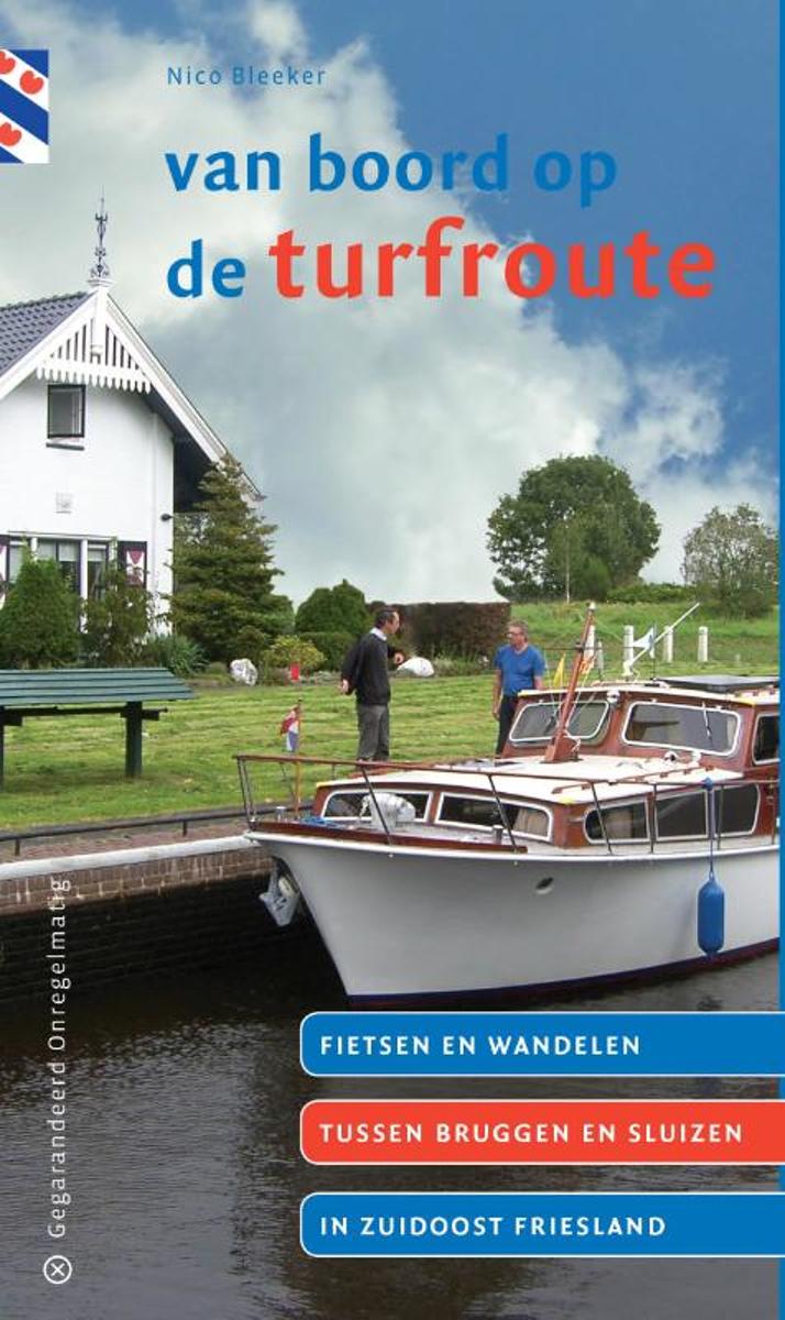
- Van boord op de turfroute
- Nico Bleeker is in de zomermaanden sluis- en brugwachter op de Turfroute in zuidoost Friesland. In de pauzes tussen de middag wandelde of fietste hij in de omgeving van de verschillende wachtposten. Prachtige natuurgebieden ontdekte hij zo op loop- en fietsafstand van de Tjonger en de Opsterlandsche Compagnonsvaart. Zoals bij Wijnjeterp de... Read more
- Also available from:
- Bol.com, Belgium
Belgium
2012
- Van boord op de turfroute
- Nico Bleeker is in de zomermaanden sluis- en brugwachter op de Turfroute in zuidoost Friesland. In de pauzes tussen de middag wandelde of fietste hij in de omgeving van de verschillende wachtposten. Prachtige natuurgebieden ontdekte hij zo op loop- en fietsafstand van de Tjonger en de Opsterlandsche Compagnonsvaart. Zoals bij Wijnjeterp de... Read more
Netherlands
2010
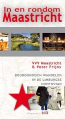
- Wandelgids In en Rondom Maastricht | Uitgeverij Tic
- In en rondom Maastricht zijn veel afwisselende wandelingen te maken. Het historisch centrum wordt bewandeld met een kroegentocht en de shoppingtour, maar ook kerken en kloosters en de vesting Maastricht komen uitgebreid aan de orde in dit wandelboek. In de directe omgeving van Maastricht wordt wijn gemaakt, liggen prachtige hellingbossen, zijn... Read more
Netherlands
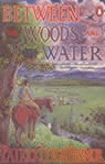
- Between the Woods and the Water
- The acclaimed travel writer's youthful journey - as an 18-year-old - across 1930s Europe by foot began in A Time of Gifts, which covered the author's exacting journey from the Lowlands as far as Hungary. Picking up from the very spot on a bridge across the Danube where his readers last saw him, we travel on with him across the great Hungarian... Read more
- Also available from:
- Bol.com, Belgium
Belgium
- Between the Woods and the Water
- The acclaimed travel writer's youthful journey - as an 18-year-old - across 1930s Europe by foot began in A Time of Gifts, which covered the author's exacting journey from the Lowlands as far as Hungary. Picking up from the very spot on a bridge across the Danube where his readers last saw him, we travel on with him across the great Hungarian... Read more
Netherlands
2017
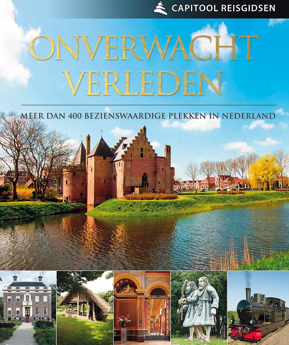
- Capitool reisgidsen - Onverwacht Verleden
- Laat je inspireren door het verleden van Nederland en trek eropuitWord meegenomen naar de meest bijzondere, verrassende plekken van Nederland. Capitool Onverwacht Verleden staat vol met meer dan 400 bezienswaardige plekken in Nederland, die gebaseerd zijn op de Nederlandse geschiedenis én die heel leuk zijn om nu te bezoeken. Bekijk het oudste... Read more
- Also available from:
- Bol.com, Belgium
Belgium
2017
- Capitool reisgidsen - Onverwacht Verleden
- Laat je inspireren door het verleden van Nederland en trek eropuitWord meegenomen naar de meest bijzondere, verrassende plekken van Nederland. Capitool Onverwacht Verleden staat vol met meer dan 400 bezienswaardige plekken in Nederland, die gebaseerd zijn op de Nederlandse geschiedenis én die heel leuk zijn om nu te bezoeken. Bekijk het oudste... Read more
Netherlands
2022
Netherlands
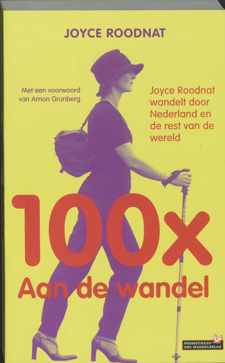
- 100X Aan De Wandel
- Met een voorwoord van Arnon Grunberg Joyce Roodnat, journaliste van NRC Handelsblad, doet elke zaterdag verslag van haar wandeltochten. Ze wandelt met 'man' en soms met 'dochter' of 'vriendin', 'de legendarische Anita', langs bestaande wandelroutes kriskras door Nederland. Maar ook, tijdens vakanties, in de Ligurische Alpen in Itali , Avalon te... Read more
- Also available from:
- Bol.com, Belgium
Belgium
- 100X Aan De Wandel
- Met een voorwoord van Arnon Grunberg Joyce Roodnat, journaliste van NRC Handelsblad, doet elke zaterdag verslag van haar wandeltochten. Ze wandelt met 'man' en soms met 'dochter' of 'vriendin', 'de legendarische Anita', langs bestaande wandelroutes kriskras door Nederland. Maar ook, tijdens vakanties, in de Ligurische Alpen in Itali , Avalon te... Read more
Netherlands
2017
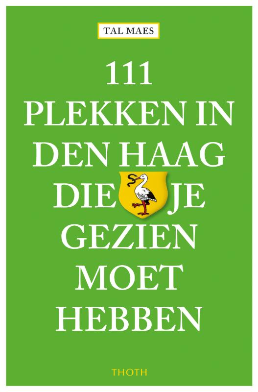
- Reisgids 111 plekken in Den Haag die je gezien moet hebben | Thoth
- Wandel door het verborgen park Sorghvliet waar Jacob Cats zijn Catshuis liet bouwen of fiets door de duinen langs bunkers uit de Atlantikwall. Laat je rondleiden op de Scheveningse visafslag of door de tuinen van het Vredespaleis bewonder de gipsotheek in het museum Beelden aan Zee. Ga strandjutten in Kijkduin of ga surfen in Scheveningen.... Read more
Netherlands
2018
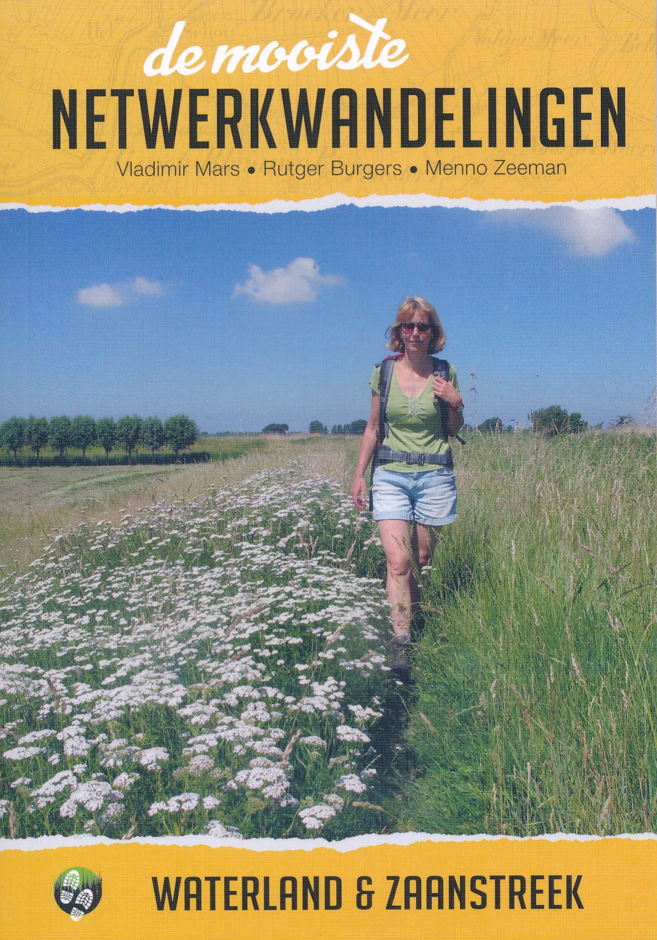
- Wandelgids de mooiste netwerkwandelingen Waterland & Zaanstreek | Uitgeverij Elmar
- De ware wandelliefhebber geeft de voorkeur aan het lopen over gras, half- tot onverhard. In het westen van het land waren de mogelijkheden daarvoor tot voor kort schaars. Maar juist de afgelopen jaren zijn er veel 'zachte' voetpaden bijgekomen, dankzij de medewerking van boeren, waterschappen en gemeenten. De meeste van die paden zijn opgenomen... Read more

United Kingdom
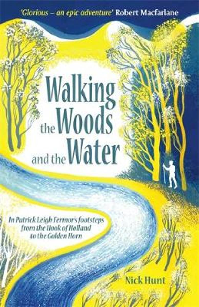
- Walking the Woods and the Water
- In Patrick Leigh Fermor's Footsteps from the Hook of Holland to the Golden Horn Read more
- Also available from:
- Bol.com, Netherlands
- Bol.com, Belgium
Netherlands
- Walking the Woods and the Water
- In 1933, the eighteen year old Patrick Leigh Fermor set out in a pair of hobnailed boots to chance and charm his way across Europe, like a tramp, a pilgrim or a wandering scholar. The books he later wrote about this walk, A Time of Gifts, Between the Woods and the Water, and the posthumous The Broken Road are a half-remembered, half-reimagined... Read more
Belgium
- Walking the Woods and the Water
- In 1933, the eighteen year old Patrick Leigh Fermor set out in a pair of hobnailed boots to chance and charm his way across Europe, like a tramp, a pilgrim or a wandering scholar. The books he later wrote about this walk, A Time of Gifts, Between the Woods and the Water, and the posthumous The Broken Road are a half-remembered, half-reimagined... Read more
Netherlands
2018
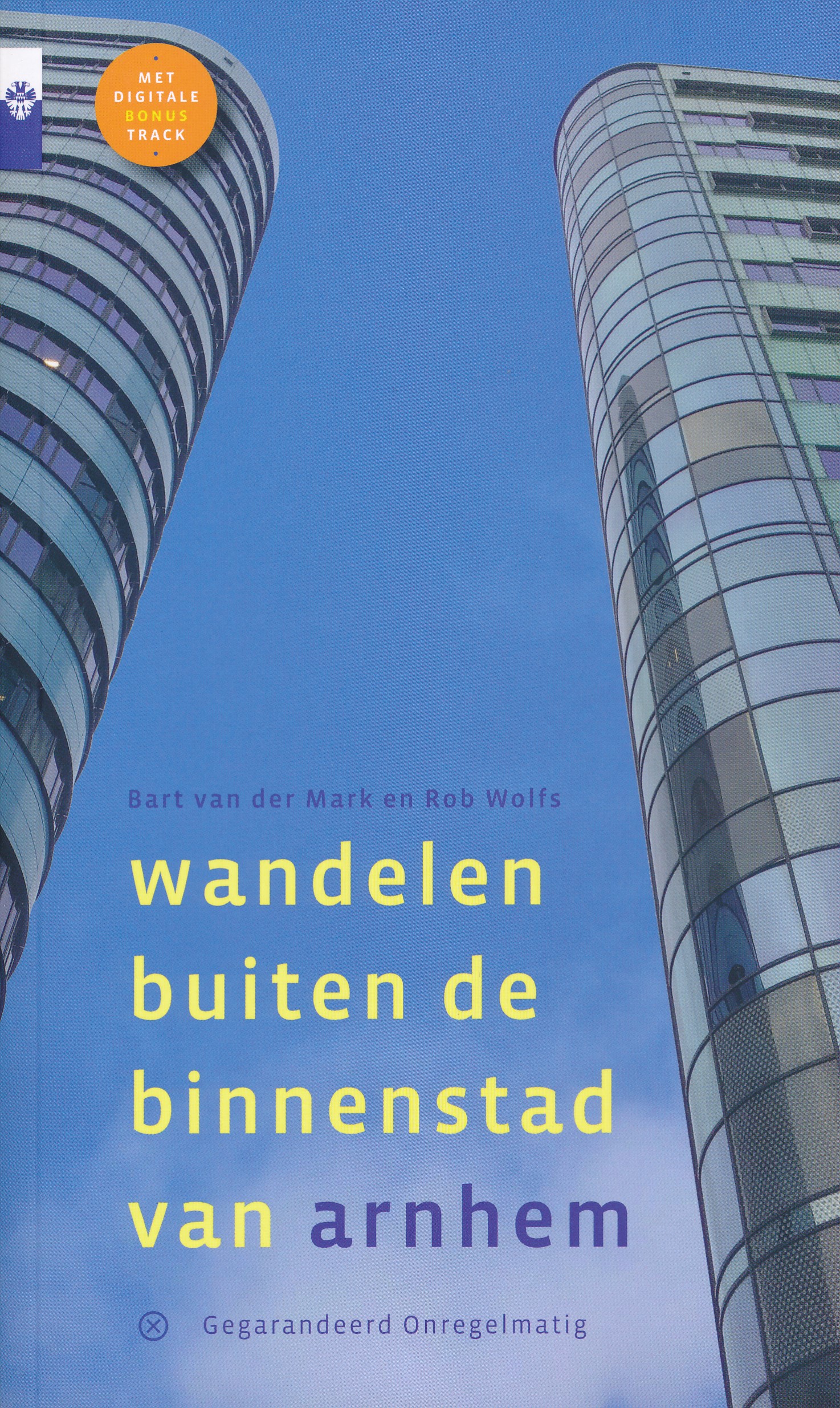
- Wandelgids Wandelen buiten de binnenstad van Arnhem | Gegarandeerd Onregelmatig
- Wandel met routemaker Rob Wolfs en ras-Arnhemmer Bart van der Mark met deze gids door de Gelderse hoofdstad en blijf je verbazen over de variatie die Arnhem buiten haar binnenstad biedt: Beklim de Geitenbult, wandel door de parken, eet een frietje bij de Saks, rijd in een trolleybus, ontdek de nieuwste wijk en ervaar de historie van deze... Read more
Netherlands
2017
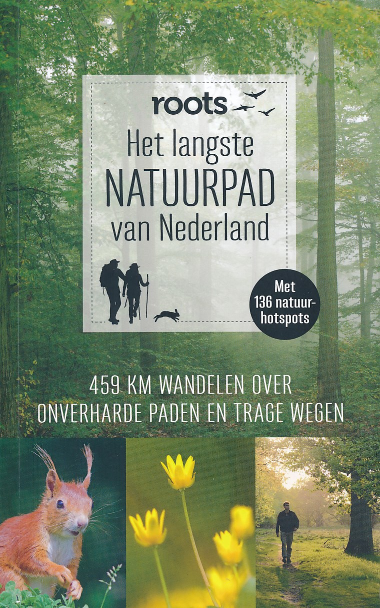
- Wandelgids Het langste natuurpad van Nederland | Fontaine Uitgevers
- 459 km wandelen over onverharde paden en trage wegen Read more
Maps

United Kingdom
2010
- Gelderse Valley
- Gelderse Valley on a waterproof, tear-resistant, GPS compatible walking map at 1:25,000 from Trage Paden, in a series of maps with extensive overprint for long-distance and local walking routes. GPS waypoints and route profiles are available for download from the publisher’s website.Contours used in this map series vary between 2,5 to 5m... Read more

United Kingdom
- Meinweg - Leudal
- Meinweg - Leudal area of the Netherlands in a series of walking and cycling maps at 1:25,000 – 1:35,000, published by Falk BV in cooperation with Staatsbosbeheer – Dutch government’s organization for forestry and the management of nature reserves.Colouring indicates different types of vegetation or terrain: woodland, pastures, heath or sand... Read more

United Kingdom
- North Holland - with Kennemerland Falkplan Cycling Map 13
- North Holland Province of the Netherlands at 1:50,000 in a series from Falk B.V. showing the network of signposted cycling routes on large, double-sided indexed maps with prominent highlighting of long-distance LF routes, symbols indicating accommodation and other tourist services, plus in each title two or more panels with recommended local... Read more

United Kingdom
- Kempenland - de Meijerij Falkplan Cycling Map 18
- Kempenland region of the Netherlands at 1:50,000 in a series from Falk B.V. showing the network of signposted cycling routes on large, double-sided indexed maps with prominent highlighting of long-distance LF routes, symbols indicating accommodation and other tourist services, plus in each title two or more panels with recommended local... Read more

United Kingdom
- Gooi & Vechtstreek: Hilversum - Amersfoort - Utrecht
- Gooi and Vechtstreek - a popular hiking area south-east of Amsterdam - on a light, double-sided, waterproof and tear-resistant, GPS-compatible maps at 1:25,000 from ANWB, the country’s main motoring and touring organization. Coverage on the northern side extends southwards from the historic town of Naarden, and west/east between the... Read more
United Kingdom
- Drentsche A
- Drentsche A area of the Netherlands in a series of walking and cycling maps at 1:25,000 – 1:35,000, published by Falk BV in cooperation with Staatsbosbeheer – Dutch government’s organization for forestry and the management of nature reserves.Colouring indicates different types of vegetation or terrain: woodland, pastures, heath or sand dunes.... Read more
United Kingdom
- Oostvaardersplassen
- Oostvaardersplassen area of the Netherlands in a series of walking and cycling maps at 1:25,000 – 1:35,000, published by Falk BV in cooperation with Staatsbosbeheer – Dutch government’s organization for forestry and the management of nature reserves.Colouring indicates different types of vegetation or terrain: woodland, pastures, heath or sand... Read more
United Kingdom
- Dunes of the Central Holland 22
- The Dunes of the Central Holland Province of the Netherlands in a series of walking and cycling maps at 1:25,000 – 1:35,000, published by Falk BV in cooperation with Staatsbosbeheer – Dutch government’s organization for forestry and the management of nature reserves.Colouring indicates different types of vegetation or terrain: woodland,... Read more
United Kingdom
- Baronie van Breda
- Baronie van Breda area of the Netherlands in a series of walking and cycling maps at 1:25,000 – 1:35,000, published by Falk BV in cooperation with Staatsbosbeheer – Dutch government’s organization for forestry and the management of nature reserves.Colouring indicates different types of vegetation or terrain: woodland, pastures, heath or sand... Read more
United Kingdom
- De Weerribben
- De Weerribben area of the Netherlands in a series of walking and cycling maps at 1:25,000 – 1:35,000, published by Falk BV in cooperation with Staatsbosbeheer – Dutch government’s organization for forestry and the management of nature reserves.Colouring indicates different types of vegetation or terrain: woodland, pastures, heath or sand dunes.... Read more

United Kingdom
- Het Groene Woud
- “Het Groene Woud” map in 1:25,000 belong to a series of eleven walking from Falk, which cover the most beautiful hiking areas in four regions: North Brabant in the south, the tip of North Holland, Friesland and Groningen in the north of the country.“Het Groene Woud” (the green forest) map covers an area of approximately 26 x 16 km in North... Read more
United Kingdom
- South-Holland North - Green Heart West and Bollenstreek Falkplan Cycling Map 14
- The northern part of the South Holland Province of the Netherlands at 1:50,000 in a series from Falk B.V. showing the network of signposted cycling routes on large, double-sided indexed maps with prominent highlighting of long-distance LF routes, symbols indicating accommodation and other tourist services, plus in each title two or more panels... Read more
United Kingdom
- Rijk van Nijmegen
- Rijk van Nijmegen area of the Netherlands in a series of walking and cycling maps at 1:25,000 – 1:35,000, published by Falk BV in cooperation with Staatsbosbeheer – Dutch government’s organization for forestry and the management of nature reserves.Colouring indicates different types of vegetation or terrain: woodland, pastures, heath or sand... Read more
United Kingdom
- Brabant West and Central Cycling Map
- The central and western part of the North Brabant Province of the Netherlands at 1:50,000 in a series from Falk B.V. showing the network of signposted cycling routes on large, double-sided indexed maps with prominent highlighting of long-distance LF routes, symbols indicating accommodation and other tourist services, plus in each title two or... Read more
United Kingdom
- Dwingelderveld - Ruinen
- Dwingelderveld - Ruinen area of the Netherlands in a series of walking and cycling maps at 1:25,000 – 1:35,000, published by Falk BV in cooperation with Staatsbosbeheer – Dutch government’s organization for forestry and the management of nature reserves.Colouring indicates different types of vegetation or terrain: woodland, pastures, heath or... Read more