
Norway
Description

Being the most beautiful country in Europe, Norway is as rich in unspoiled wild nature as it is in oil. The rugged mountains are interspersed with endless plateaus full of lakes. Impressive fjords (sea inlets) and glaciers ornament the long coastline. The unforgettable spectacle of a thunderstorm drifting by, the sun breaking through, the rain drifting away in the distance. In the Home of Giants (Jotunheimen) you will feel tiny as a dwarf. North of the polar circle there are several splendid areas like Troms and Finmark. Do bring your fishing gear if you go there.
Norway does not have long distance trails, but for some exceptions. Wherever there is wilderness, there are mountain huts interconnected by trails marked with a red "T". Often these are painted high on heaps of stone, in order to stick out above the snow. The majority of huts are exploited by the DNT. Others by local hiking organisations. Some huts are private. Some of the huts are staffed and meals are served. Others are self-service huts: there is food in store, you take what you like, write down what you ate, and leave money for it in a special box. The third type of hut is the no-service hut. Here, you have to carry your own food. Generally they are equiped with gas, firewood, kitchen utensils, and blanks. Often, you will need a key to get in. The standard DNT key, which you can arrange in advance, fits on all huts.
All this means you can leave your tent at home, unless you prefer to camp in the wild clear light summer nights, and wake up to find yourself surrounded by a herd of ruminating reindeer.
A beloved national park is Rondane. Also, of course, Jotunheimen with Norway's higest mountains Galdhøpigen and Glittertind, is very popular. South of Jotunheimen is the vast plateau of Hardangervidda. The main hiking area's are situated in the south of the country. Turning north, the mountains are less well serviced by huts, and consequently hiking is more adventurous. Head north if you're looking for silence and real wilderness. A part of Lappland is in Norway and you can go there and sleep in reindeer farms: Finnmarksvidda.
Be aware that in Norway as in every country the Long T(r)ail theory is valid: most of the hikers go to 10% of the area's. But other area's may be more beautiful and in any case more quiet. In the north for instance, you will encounter a string of intensely beautiful mountain plateaus and ranges: Okstindan in Nord-Helgeland, Saltfjellet, Sulitjelma, and more. If you don't mind carrying your own food, meeting few people and 24 hours light a day, this is the place to go. Between simple but well furnished huts, cairned routes are laid out, leading up all the way to Lapland, even to Kautokeino via the Nordkalott trail and the Nordlandsruta. You can walk for months. Check out the DNT website, your most important source of information.
The season for walking the mountains is short. In June you will still sink down deep into the snow in the mountains. And again in September fresh snow is likely to blow you right off the fjell. Hiking in Norway is not without risk. River crossing and extremely bad weather take their toll. On warm days with no wind, the notorious midges will attack relentlessly.
Map


Trails
Regions
- Austheiane
- Østfold
- Bergsdalen
- Blefjell
- Breheimen
- Dovrefjell
- Femundsmarka
- Finnmarksvidda
- Finnskogen
- Folgefonna
- Hardangervidda
- Hedemarken
- Huldreheimen
- Jotunheimen
- Lapland
- Lofoten Isles
- Narvikfjellene
- Nord-Helgeland
- Nord-Trøndelag
- Nordmøre
- Norefjell and Eggedalsfjella
- Oslomarka
- Romsdal and Eikesdal
- Rondane
- Ryfylkeheiane
- Saltfjellet
- Sauda- and Etnefjellene
- Sør-Helgeland
- Senja Island
- Setesdalheiane
- Skarvheimen
- Stølsheimen
- Sulitjelma
- Sunnmøre
- Svartisen
- Sylan
- Tafjordfjell
- Trollheimen
- Troms
- Tysfjord
- Vesterålen and Hinnøya
- Vestfold
- Vossefjellene


Links
Facts
Reports
Guides and maps
Lodging
Organisations
Tour operators
GPS
Other
Books

- Also available from:
- De Zwerver, Netherlands
Netherlands
2021
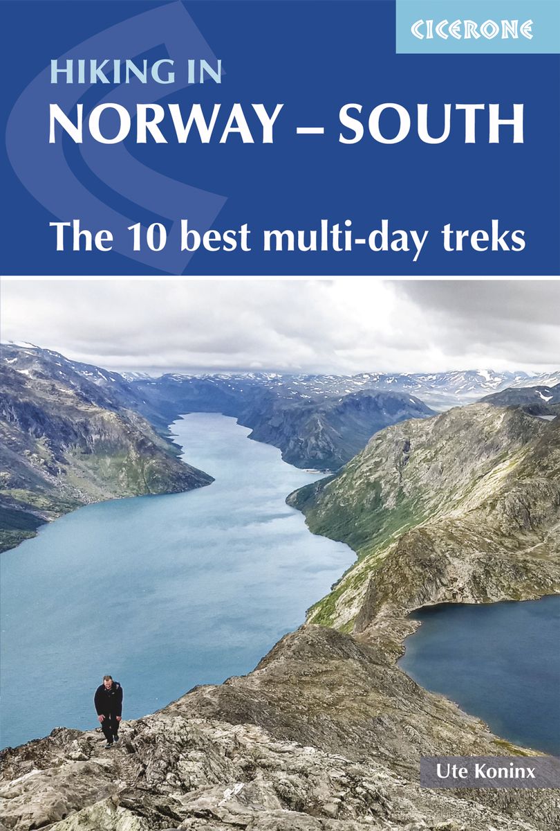
- Wandelgids Hiking in Norway-South | Cicerone
- The 10 best multi-day treks Read more

United Kingdom
- Climbs, Scrambles and Walks in Romsdal
- Revised edition of this guide to over 300 walks, scrambles and rock climbs in Romsdal, including the famous Trollveggen. Introductory sections cover background geographical and historical aspects, and also general travel, equipment and preparation matters. Diagrams, ridge maps and informative photographs accompany the descriptions. Includes a... Read more
- Also available from:
- The Book Depository, United Kingdom


- Also available from:
- Bol.com, Belgium
Netherlands
2017
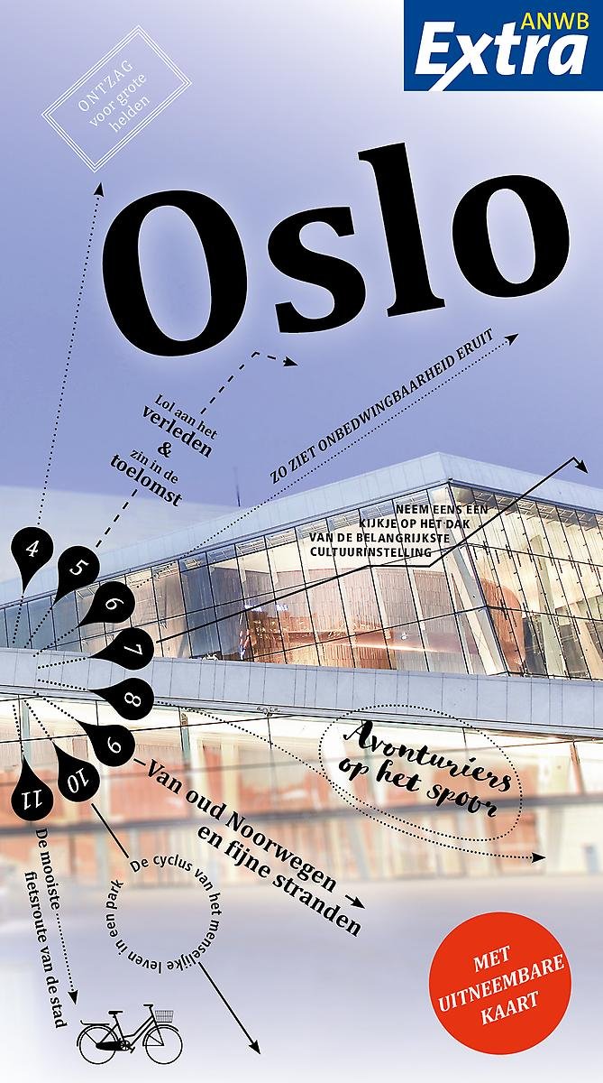
- ANWB Extra - Oslo
- Ontdek Oslo met de compleet vernieuwde reisgids ANWB Extra Oslo! In Oslo kan je alle kanten op: 's avonds op hoge hakken en in chique shirts van cocktails nippen in een hippe bar, de volgende dag met wandelschoenen door de uitgestrekte bossen van de Marka lopen. Dit maakt Oslo tot dé bestemming voor een leuke citytrip. De ANWB Extra reisgids... Read more
- Also available from:
- Bol.com, Belgium
Belgium
2017
- ANWB Extra - Oslo
- Ontdek Oslo met de compleet vernieuwde reisgids ANWB Extra Oslo! In Oslo kan je alle kanten op: 's avonds op hoge hakken en in chique shirts van cocktails nippen in een hippe bar, de volgende dag met wandelschoenen door de uitgestrekte bossen van de Marka lopen. Dit maakt Oslo tot dé bestemming voor een leuke citytrip. De ANWB Extra reisgids... Read more

Netherlands
- No Place Like Home, Thank God
- Amazon UK Bestseller Number 1 in Cycling and Top 3 in Travel and in SportAfter a near fatal brain haemorrhage Steven Primrose-Smith decides that life is too short to hang around. Inspired, he jumps on his bicycle to travel a road that stretches 22,000 miles across the whole of Europe.During his ride through 53 countries, climbing the equivalent... Read more
- Also available from:
- Bol.com, Belgium
Belgium
- No Place Like Home, Thank God
- Amazon UK Bestseller Number 1 in Cycling and Top 3 in Travel and in SportAfter a near fatal brain haemorrhage Steven Primrose-Smith decides that life is too short to hang around. Inspired, he jumps on his bicycle to travel a road that stretches 22,000 miles across the whole of Europe.During his ride through 53 countries, climbing the equivalent... Read more

Netherlands
2018
- Insight Guides Travel Map Norway
- Insight Travel Map Norway:all a person needs to plan routes and navigate Norway· Travel Map Norway is drawn to a scale of 1:800 000 and shows the entire country, complete with a comprehensive index· Ideal for route planning, and on-the-road-exploring· Innovative extra = incredible value, and unique in the market. All Insight Travel Maps come... Read more
- Also available from:
- Bol.com, Belgium
Belgium
2018
- Insight Guides Travel Map Norway
- Insight Travel Map Norway:all a person needs to plan routes and navigate Norway· Travel Map Norway is drawn to a scale of 1:800 000 and shows the entire country, complete with a comprehensive index· Ideal for route planning, and on-the-road-exploring· Innovative extra = incredible value, and unique in the market. All Insight Travel Maps come... Read more
Netherlands
2022
Netherlands
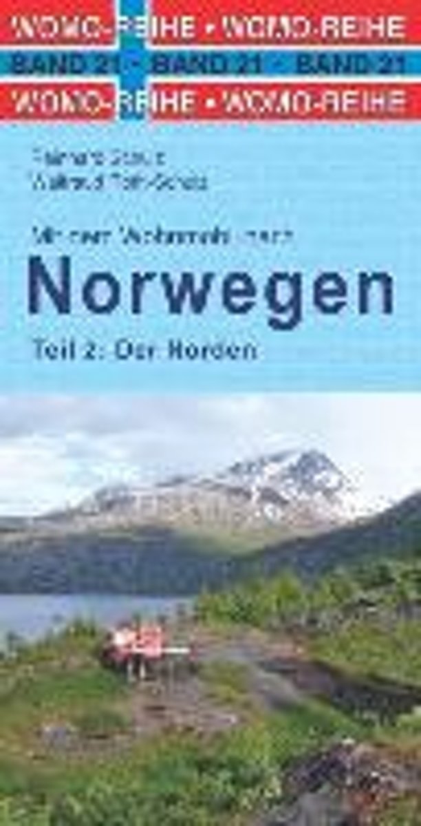
- Mit dem Wohnmobil nach Norwegen 02. Der Norden
- Tourenkarten: ber 8000 km Nord-Norwegen in 15 Touren (rot markiert) zu den bekanntesten und vielen unbekannten Sehensw rdigkeiten. Genaue Markierung vieler Stell-, Bade-, Picknick- und Wanderparkpl tze, Toiletten, Ver- und Entsorgungsstationen, Trinkwasserstellen sowie der sch nsten Campingpl tze. Natur erleben, wandern: Abstecher zu fast... Read more
- Also available from:
- Bol.com, Belgium
Belgium
- Mit dem Wohnmobil nach Norwegen 02. Der Norden
- Tourenkarten: ber 8000 km Nord-Norwegen in 15 Touren (rot markiert) zu den bekanntesten und vielen unbekannten Sehensw rdigkeiten. Genaue Markierung vieler Stell-, Bade-, Picknick- und Wanderparkpl tze, Toiletten, Ver- und Entsorgungsstationen, Trinkwasserstellen sowie der sch nsten Campingpl tze. Natur erleben, wandern: Abstecher zu fast... Read more

Netherlands
2016
- Reisgids Cruise Hurtigruten | Conrad Stein Verlag
- Handzaam Duitstalig gidsje met gedetailleerde beschrivingen van de bezienswaardigen langs deze mooie route. Verder praktische tips voor het reizen in Noorwegen en het leven aan boord. Die Hurtigruten sind schon längst kein Geheimtipp mehr und ein besonderes Erlebnis für alle Skandinavienfans: Nirgendwo sonst spürt man den Flair des Nordens so... Read more
Maps

United Kingdom
- Elverum Nordeca 10051
- Map No. 10051, Elverum, in the new topographic survey of Norway at 1:50,000 covering the country on 195 double-sided sheets and first published by Nordeca in 2011 - 2012; fully GPS compatible, indicating waymarked footpaths, campsites, tourist huts, illuminated ski runs, etc.The maps, now published by Nordeca, the successors to Statens Kartverk... Read more

United Kingdom
- Sørøya Nordeca 10186
- Map No. 10186, Sørøya, in the new topographic survey of Norway at 1:50,000 covering the country on 195 double-sided sheets and first published by Nordeca in 2011 - 2012; fully GPS compatible, indicating waymarked footpaths, campsites, tourist huts, illuminated ski runs, etc.The maps, now published by Nordeca, the successors to Statens Kartverk... Read more

United Kingdom
- Bygland Nordeca 10010
- Map No. 10010, Bygland, in the new topographic survey of Norway at 1:50,000 covering the country on 195 double-sided sheets and first published by Nordeca in 2011 - 2012; fully GPS compatible, indicating waymarked footpaths, campsites, tourist huts, illuminated ski runs, etc.The maps, now published by Nordeca, the successors to Statens Kartverk... Read more

United Kingdom
- Rauhelleren Nordeca 2727
- Rauhelleren area in Norway in a series of GPS compatible recreational maps at 1:50,000 with cartography from Norway’s topographic survey and additional tourist information. Contours lines are drawn at 20m intervals. The overprint varies from title to title, but includes local footpaths, in some cases distinguishing between easy and more... Read more

United Kingdom
- Osensjøen Nordeca 10059
- Map No. 10059, Osensjøen, in the new topographic survey of Norway at 1:50,000 covering the country on 195 double-sided sheets and first published by Nordeca in 2011 - 2012; fully GPS compatible, indicating waymarked footpaths, campsites, tourist huts, illuminated ski runs, etc.The maps, now published by Nordeca, the successors to Statens... Read more

United Kingdom
- Kjøllefjord Nordeca 10194
- Map No. 10194, Kjøllefjord, in the new topographic survey of Norway at 1:50,000 covering the country on 195 double-sided sheets and first published by Nordeca in 2011 - 2012; fully GPS compatible, indicating waymarked footpaths, campsites, tourist huts, illuminated ski runs, etc.The maps, now published by Nordeca, the successors to Statens... Read more

United Kingdom
- Bandak Nordeca 10018
- Map No. 10018, Bandak, in the new topographic survey of Norway at 1:50,000 covering the country on 195 double-sided sheets and first published by Nordeca in 2011 - 2012; fully GPS compatible, indicating waymarked footpaths, campsites, tourist huts, illuminated ski runs, etc.The maps, now published by Nordeca, the successors to Statens Kartverk... Read more

United Kingdom
- Askøy Nordeca 2779
- This collection of national walking maps covers the mostpopular walking and hiking areas of Norway. The maps are Adapted for each specific area, and Contain hiking trails, cabins and local touring information. The maps are available in the following scales 1:25 000, 1:50 000, 1: 100 000. Read more

United Kingdom
- Särna Nordeca 10068
- Map No. 10068, Särna, in the new topographic survey of Norway at 1:50,000 covering the country on 195 double-sided sheets and first published by Nordeca in 2011 - 2012; fully GPS compatible, indicating waymarked footpaths, campsites, tourist huts, illuminated ski runs, etc.The maps, now published by Nordeca, the successors to Statens Kartverk... Read more

United Kingdom
- Ringebu Nordeca 2509
- Ringebu area in Norway in a series of GPS compatible recreational maps at 1:50,000 with cartography from Norway’s topographic survey and additional tourist information. Contours lines are drawn at 20m intervals. The overprint varies from title to title, but includes local footpaths, in some cases distinguishing between easy and more difficult... Read more

United Kingdom
- Kongsberg Nordeca 10026
- Map No. 10026, Kongsberg, in the new topographic survey of Norway at 1:50,000 covering the country on 195 double-sided sheets and first published by Nordeca in 2011 - 2012; fully GPS compatible, indicating waymarked footpaths, campsites, tourist huts, illuminated ski runs, etc.The maps, now published by Nordeca, the successors to Statens... Read more

United Kingdom
- Peer Gynts Rike Nordeca 2563
- Peer Gynts Rike: Kvitfjell - Gålå - Skeikampen area in Norway in a series of GPS compatible recreational maps at 1:50,000 with cartography from Norway’s topographic survey and additional tourist information. Contours lines are drawn at 20m intervals. The overprint varies from title to title, but includes local footpaths, in some cases... Read more

United Kingdom
- Kongsvinger Nordeca 10035
- Map No. 10035, Kongsvinger, in the new topographic survey of Norway at 1:50,000 covering the country on 195 double-sided sheets and first published by Nordeca in 2011 - 2012; fully GPS compatible, indicating waymarked footpaths, campsites, tourist huts, illuminated ski runs, etc.The maps, now published by Nordeca, the successors to Statens... Read more

United Kingdom
- Maze Nordeca 10170
- Map No. 10170, Maze, in the new topographic survey of Norway at 1:50,000 covering the country on 195 double-sided sheets and first published by Nordeca in 2011 - 2012; fully GPS compatible, indicating waymarked footpaths, campsites, tourist huts, illuminated ski runs, etc.The maps, now published by Nordeca, the successors to Statens Kartverk... Read more

United Kingdom
- Bardu Nordeca 2599
- This collection of national walking maps covers the mostpopular walking and hiking areas of Norway. The maps are Adapted for each specific area, and Contain hiking trails, cabins and local touring information. The maps are available in the following scales 1:25 000, 1:50 000, 1: 100 000. Read more