Djibouti
Description

Northeast in the Horn of Africa, on the Red Sea and the Gulf of Aden opposite Jemen, lies the small country of Djibouti. It is hot, humid and arid, mostly rocky desert and volcanic plateau. There is occasional rain only from October to April. The north of the country is the most mountainous, with the volcano of Mousa Ali (2028 m) as the highest, but there are also magnificent landscapes around the lakes of Assal and Abbé.
Hiking is possible with a local guide, and normally with camels for pack animals and sleeping under the stars.
Mountains
Links
Facts
Reports
Guides and maps
Lodging
Organisations
Tour operators
GPS
Other
Books
De Zwerver
Netherlands
2018
Netherlands
2018
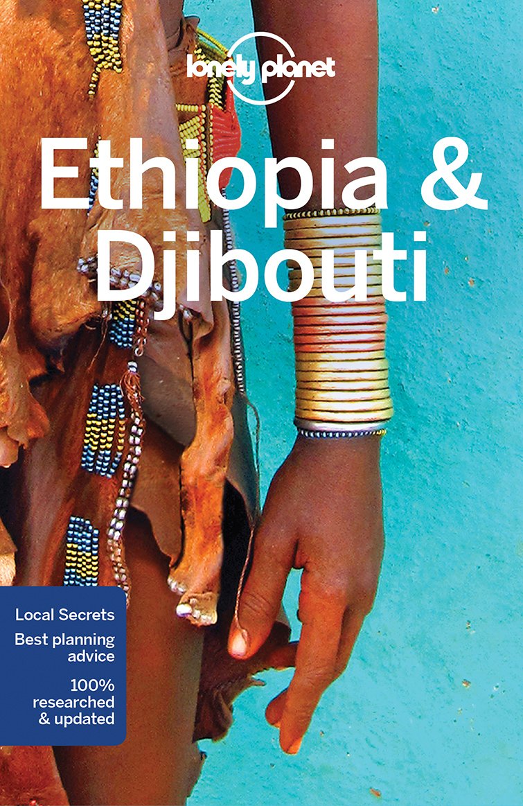
- Reisgids Ethiopia, Djibouti - Ethiopië | Lonely Planet
- De perfecte reisgids voor zowel de georganiseerde als de zelfstandige reiziger. Naast een algemene inleiding van het land / streek vol met praktische informatie over hoe je er het beste kunt reizen: slapen, eten, vervoer, excursies ... alles kun je er in vinden. Engelstalig. Lonely Planet Lonely Planet Ethiopia & Djibouti is your passport to... Read more
Maps
De Zwerver
Netherlands
Netherlands
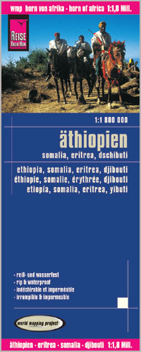
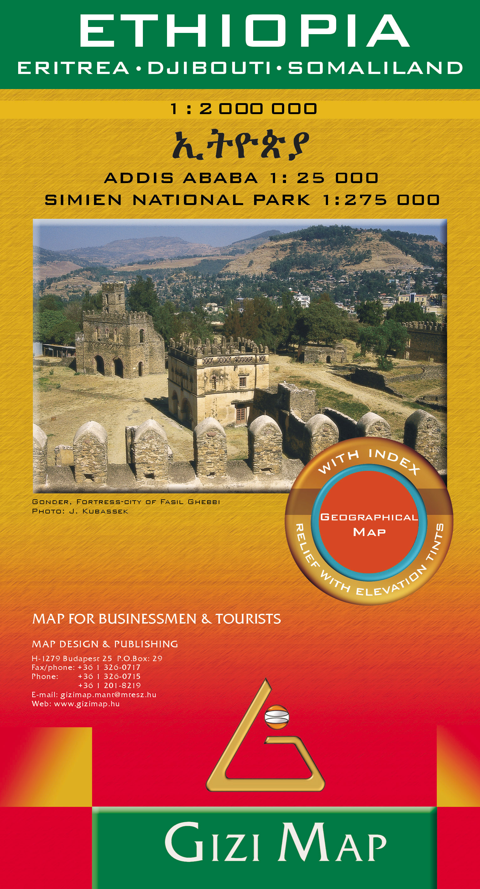
- Wegenkaart - landkaart Ethiopia - Eritrea - Djibouti - Somaliland | Gizi Map
- Ethiopia Geographical Map 1 : 2 000 000 ab 11.95 EURO Eritrea, Djibouti, Somaliland. Addis Ababa 1 : 25 000, Simien National Park 1 : 275 000. Neuauflage Read more
More maps…