
Armenia
Description

Armenia is a landlocked and largely volcanic mountainous highland country, bordering on Georgia and Azerbaijan in the north, and Turkey and Iran in the south. It is part of the Lesser Caucasus, a range which runs parallel to the Greater Caucasus further north. Highest is Mount Aragats (4090 m), not to be confused with Mount Ararat (5137 m) which rises up from the same plateau not far away, but is in Turkey. Both mountains are extinct volcanoes.
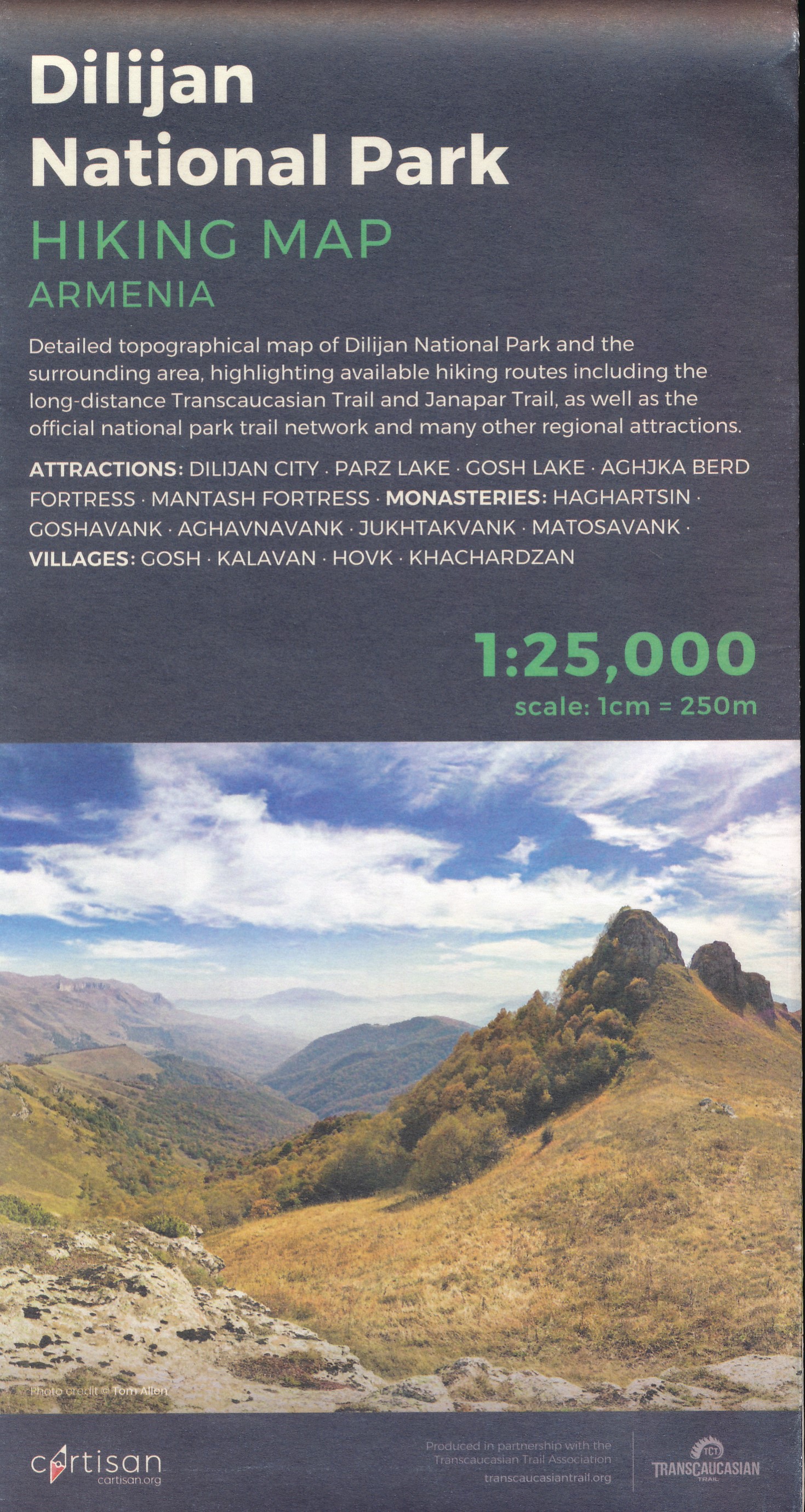
Towards the east of Armenia there is the wonderful Janapar long distance hiking trail through the Lesser Caucasus of Nagorno-Karabakh. But since this region is claimed by both Azerbaijan and Armenia, we will treat it as a separate country.
Also, there are hiking possibilities up and around Mount Aragats, and there must be in the Tavush, Syunik, Lori and Vayot Dzor regions. Information on long distance trails and hiking is hard to come by.
Regions
Mountains
Links
Facts
Reports
Guides and maps
Lodging
Organisations
Tour operators
GPS
Other
Books
Netherlands
2011
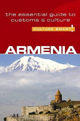
- Reisgids Culture Smart! Armenia | Kuperard
- Culture Smart! provides essential information on attitudes, beliefs and behavior in different countries, ensuring that you arrive at your destination aware of basic manners, common courtesies, and sensitive issues. These concise guides tell you what to expect, how to behave, and how to establish a rapport with your hosts. This inside knowledge... Read more
Netherlands
2014
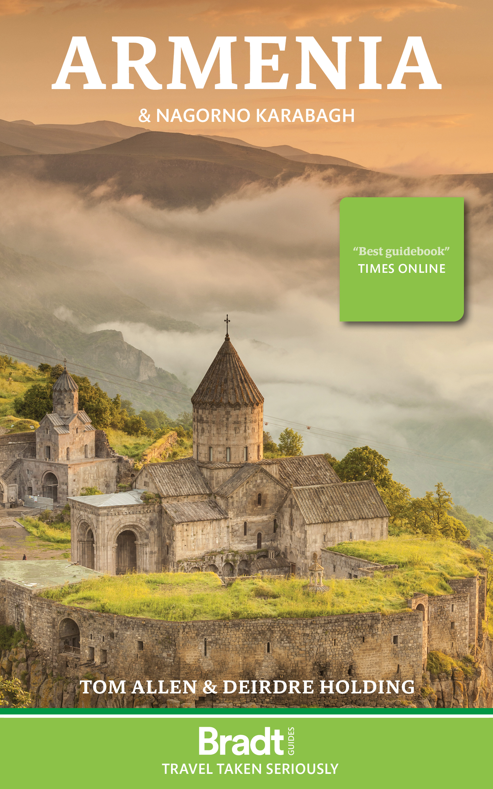
- Armenia
- Rich in both history and spectacular scenery, Armenia is a truly captivating country. Whether seeking out ancient monasteries dotted within dramatic landscapes, wandering through one of Yerevan's impressive museums or admiring the intricate stone carvings at Noratus, you'll find opportunities to delve into this nation's past at every turn. Add... Read more
- Also available from:
- Bol.com, Belgium
Belgium
2014
- Armenia
- Rich in both history and spectacular scenery, Armenia is a truly captivating country. Whether seeking out ancient monasteries dotted within dramatic landscapes, wandering through one of Yerevan's impressive museums or admiring the intricate stone carvings at Noratus, you'll find opportunities to delve into this nation's past at every turn. Add... Read more

Netherlands
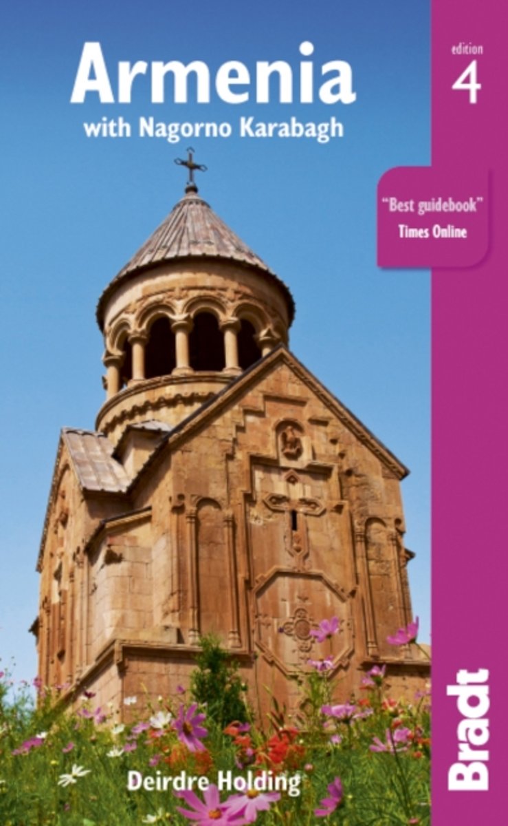
- Armenia
- This rural retreat enjoys an astonishingly well-preserved legacy of monastic buildings, often set in magnificent locations. Nicholas Holding covers a wide spectrum of activities that give Armenia a huge potential for visitors, including birding, hiking, the arts, architectural tours, botanical trips, angling, horseriding and caving. Read more
- Also available from:
- Bol.com, Belgium
Belgium
- Armenia
- This rural retreat enjoys an astonishingly well-preserved legacy of monastic buildings, often set in magnificent locations. Nicholas Holding covers a wide spectrum of activities that give Armenia a huge potential for visitors, including birding, hiking, the arts, architectural tours, botanical trips, angling, horseriding and caving. Read more
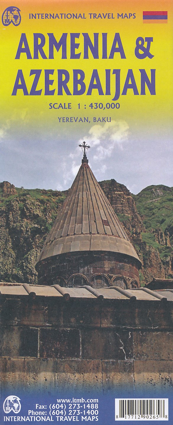
Maps
Netherlands
Netherlands