Aruba
Description


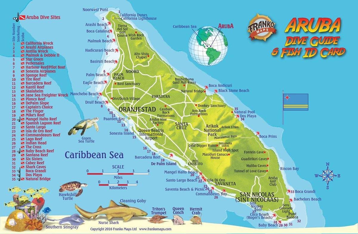
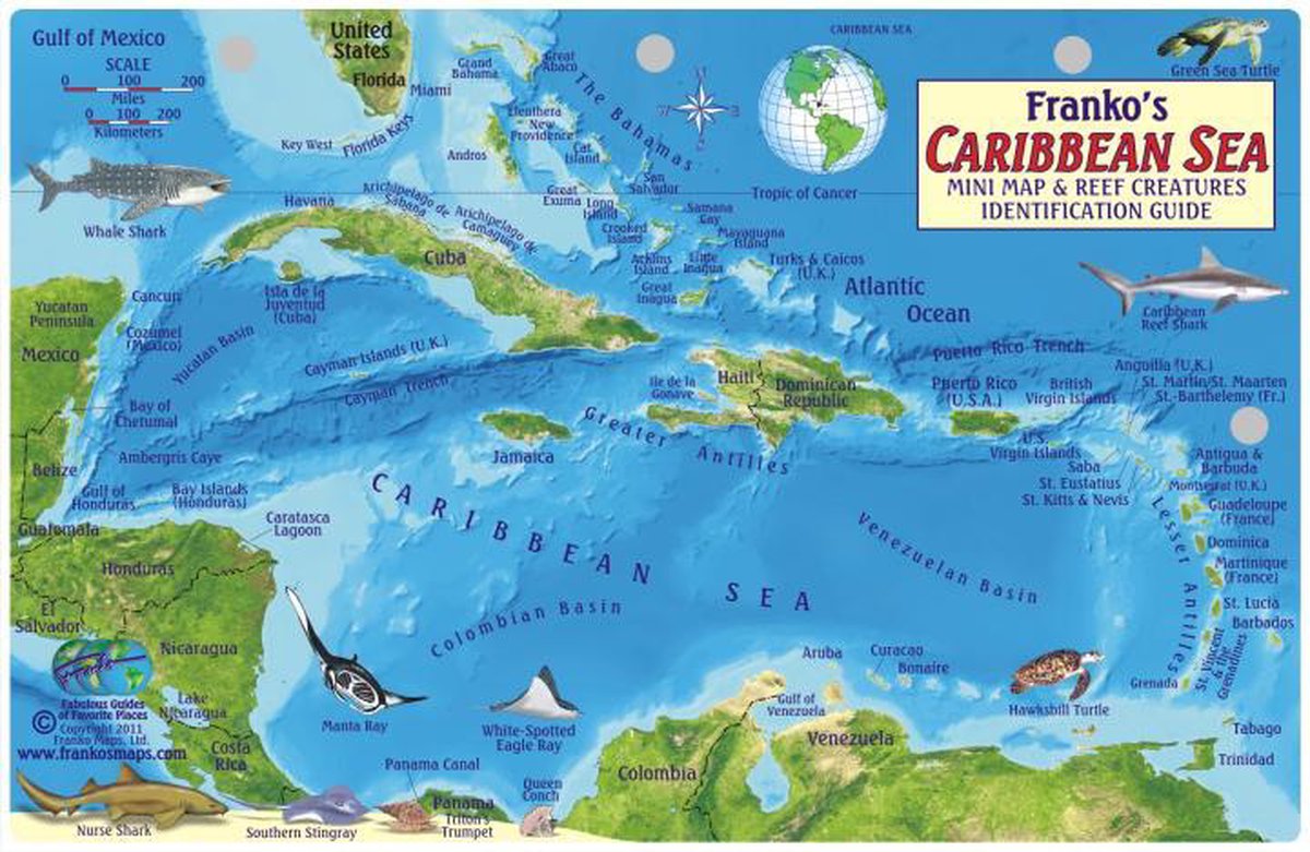
As the most westerly of the so-called ABC Islands (Aruba, Bonaire, Curaçao), and only 27 km off the Venezuelan coast, the small island of Aruba enjoys the year-round dry tropical marine climate of the southern Caribbean Sea. The beautiful and relatively sheltered white sandy beaches in the west and south of the island attract many tourists from the U.S. and Venezuela.
For hiking purposes we treat Aruba as a separate country, but officially Aruba is part of The Netherlands. Aruba measures a mere 193 km2 and is not mountainous, highest point being Mount Jamanota (188 m), and second highest is Hooiberg (165 m). The north and east of the island are exposed to tradewinds from the Atlantic, hardly settled and interesting to explore on foot, just like the hilly interior. A good place to start is in the Arikok National Park.
Regions
Mountains
Links
Facts
Reports
Guides and maps
Lodging
Organisations
Tour operators
GPS
Other
Books
Netherlands
2016
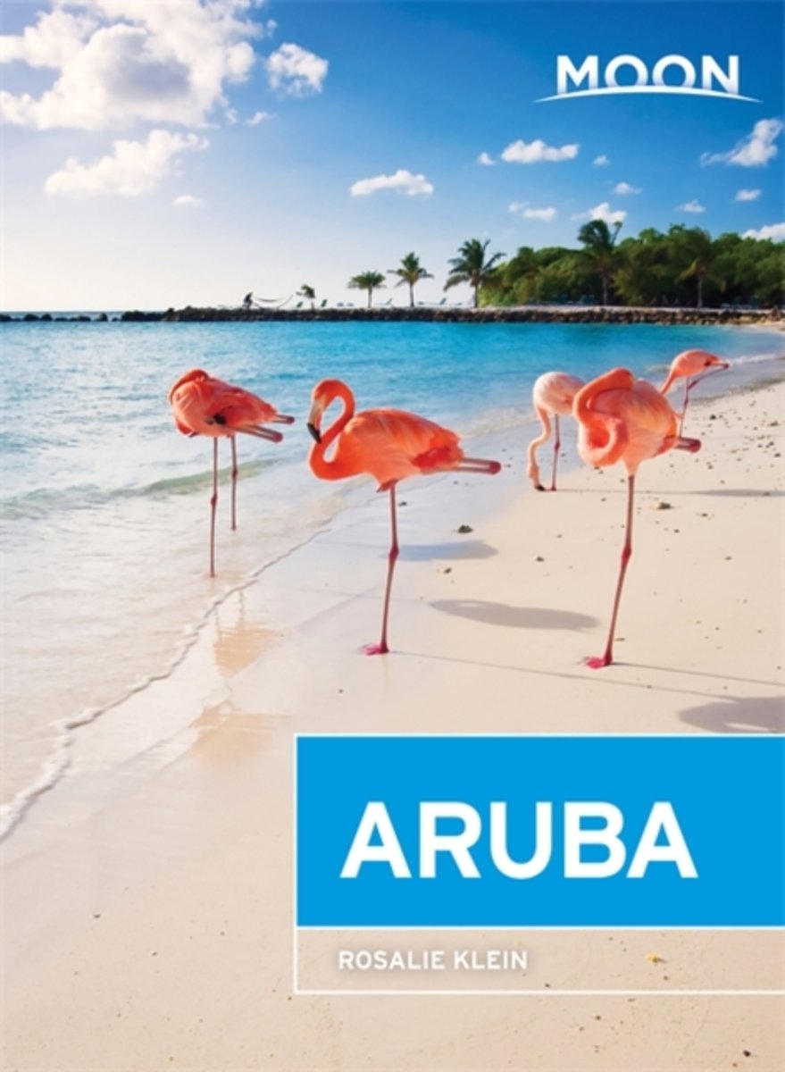
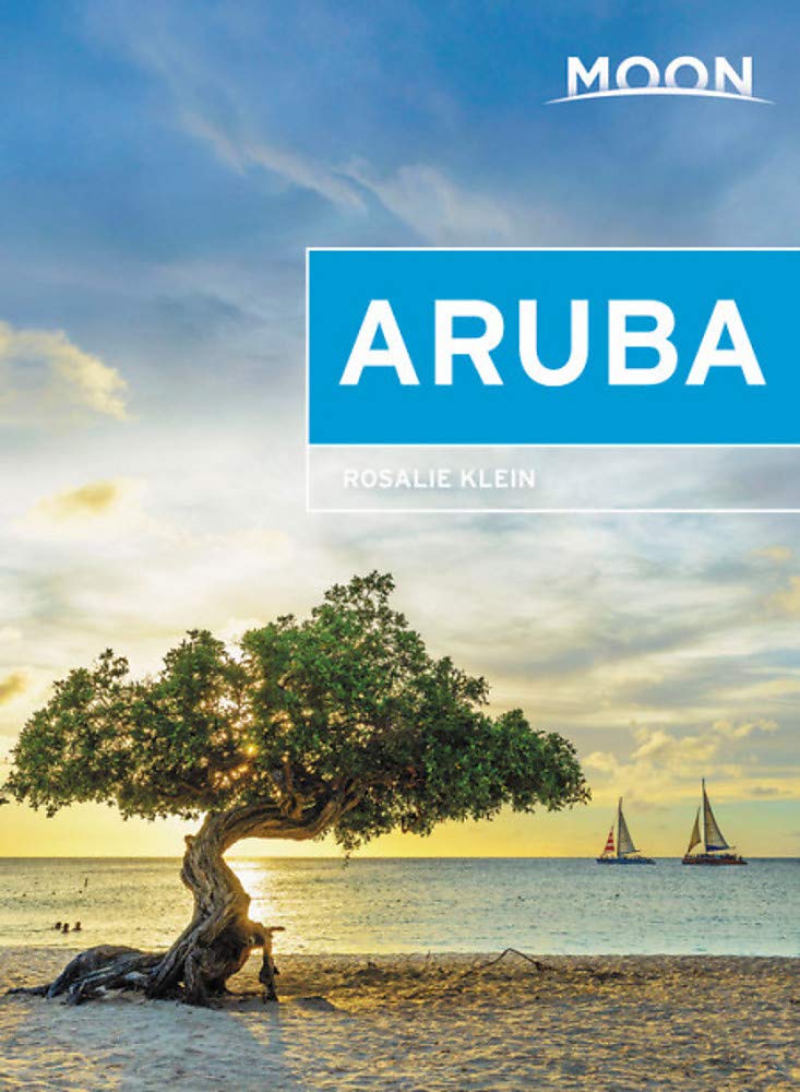
- Moon Aruba (2nd ed)
- Longtime resident Rosalie Klein gives travelers an inside look at Aruba, whether theyre diving to see Antilla or staying on land and exploring the countrys rich heritage and vibrant nightlife. Drawing on over 30 years of experience, Klein offers her expert advice on how to make a stay both memorable and affordable and which of the sights... Read more
- Also available from:
- Bol.com, Belgium
Belgium
2016
- Moon Aruba (2nd ed)
- Longtime resident Rosalie Klein gives travelers an inside look at Aruba, whether theyre diving to see Antilla or staying on land and exploring the countrys rich heritage and vibrant nightlife. Drawing on over 30 years of experience, Klein offers her expert advice on how to make a stay both memorable and affordable and which of the sights... Read more
Netherlands
2017
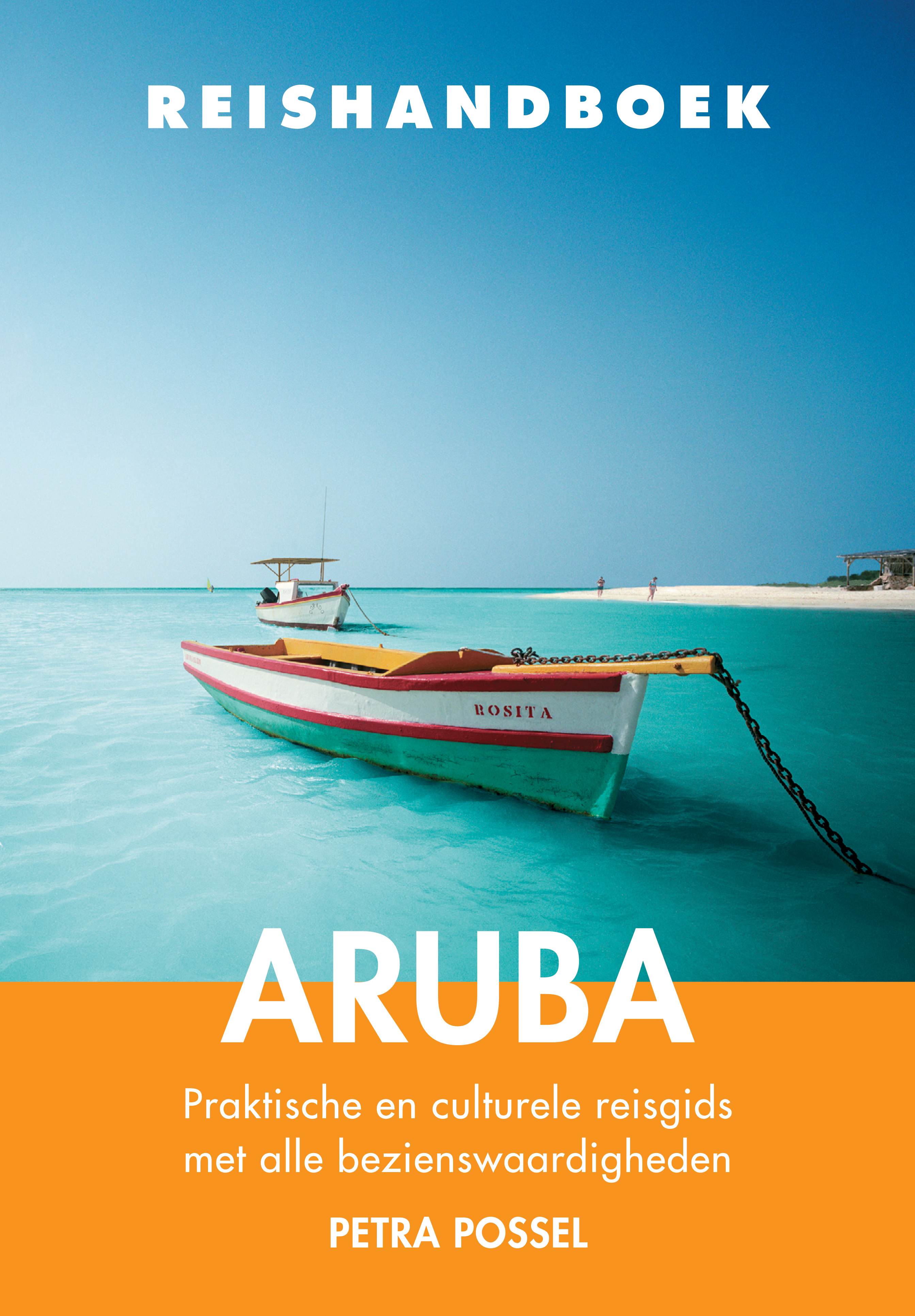
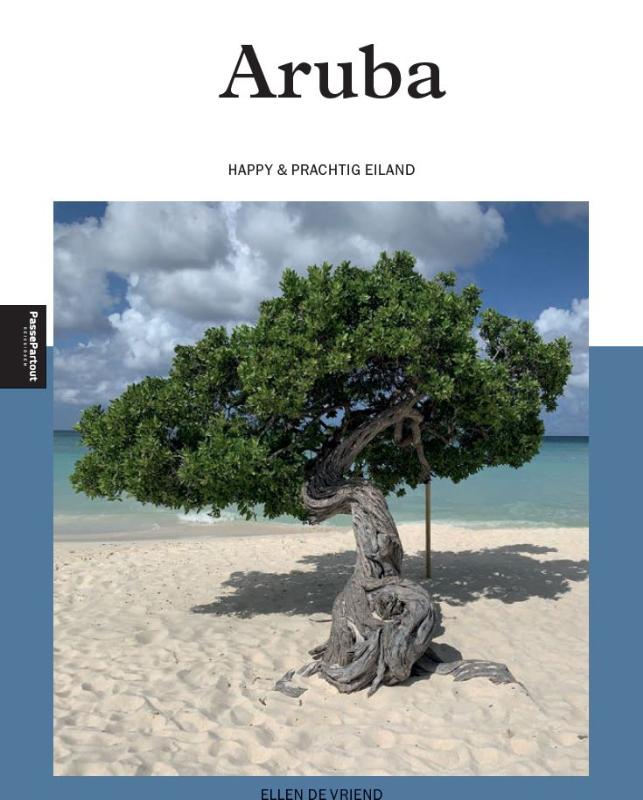
- Reisgids Reishandboek Aruba | Uitgeverij Elmar
- Praktische en culturele reisgids met alle bezienswaardigheden Aruba heeft als populaire vakantiebestemming in het Caribische gebied veel te bieden. Slenter door Oranjestad en ontdek de mooie historische panden. Verken de boca’s van de ruige noord- en oostkust en ervaar Aruba op zijn wildst in Arikok Nationaal Park. Geniet van het panorama rond... Read more
Netherlands
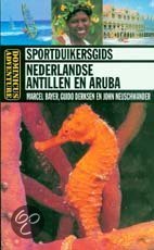
- Sportduikersgids Nederlandse Antillen En Aruba
- Dominicus Adventure is de eerste gespecialiseerde reisgidsenserie in het Nederlandse taalgebied over buitensportactiviteiten de reeks informeert avontuurlijke reizigers en andere belangstellenden over mooiste berg- en duiksportgebieden eter wereld voor overige avonturenactiviteiten is eveneens plaats in de serie. Uniek is dat de gidsen méér dan... Read more
- Also available from:
- Bol.com, Belgium
Belgium
- Sportduikersgids Nederlandse Antillen En Aruba
- Dominicus Adventure is de eerste gespecialiseerde reisgidsenserie in het Nederlandse taalgebied over buitensportactiviteiten de reeks informeert avontuurlijke reizigers en andere belangstellenden over mooiste berg- en duiksportgebieden eter wereld voor overige avonturenactiviteiten is eveneens plaats in de serie. Uniek is dat de gidsen méér dan... Read more
Maps

United Kingdom
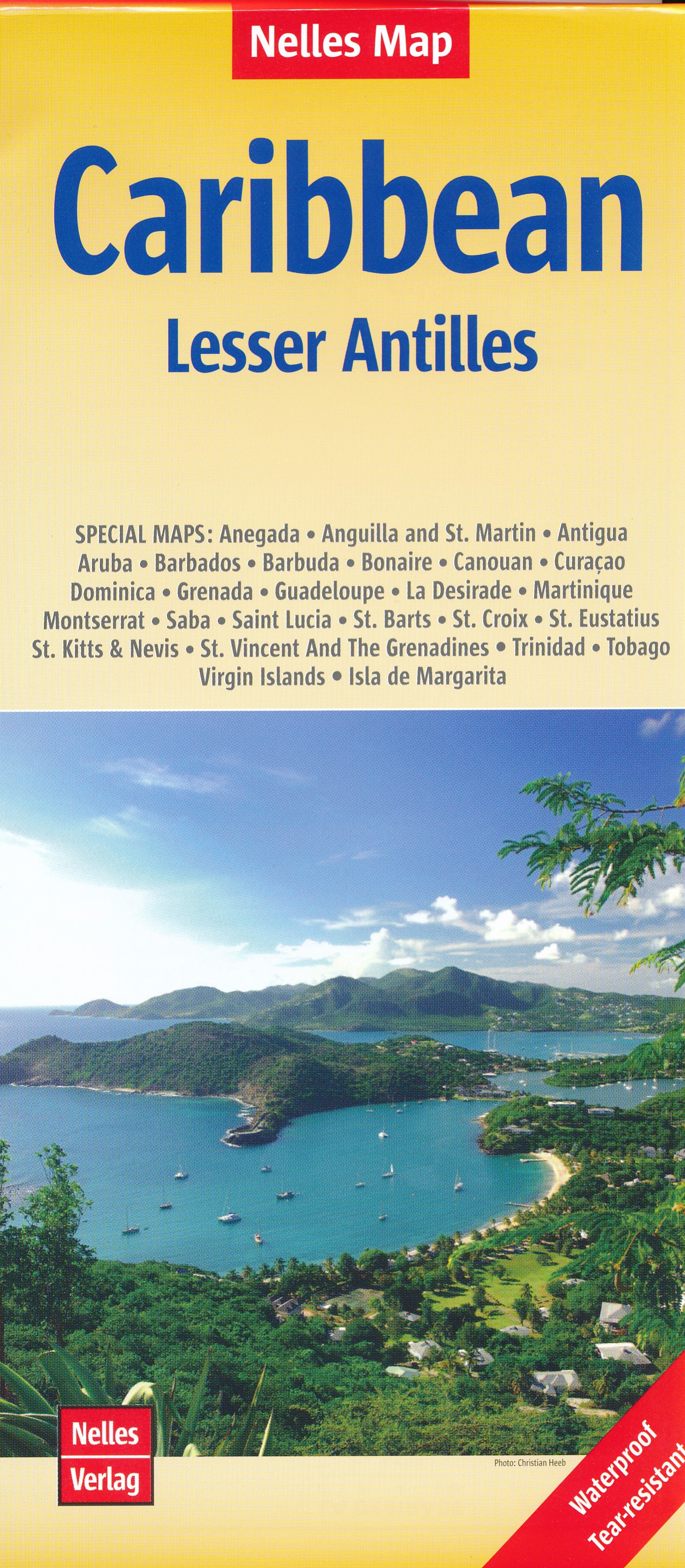
- Caribbean Islands East & South ITMB Travel Atlas
- The islands of the eastern and southern Caribbean presented by ITMB in a handy size, A5, paperback, indexed atlas with city centre street plans of main cities. The mapping is taken from ITMB’s extensive coverage of the region on individual country maps, so scales vary.The atlas covers: Antigua and Barbuda (1:35,000/25,000, with street plans of... Read more

United Kingdom
- Aruba, Bonaire & Curaçao Flexi Map OUT OF PRINT
- Durable, laminated map with tourist information - one of the many handy-sized Flexi Maps by this publisher, impressive for the amount of information packed in a small format. The islands of Aruba, Bonaire and Curaçao are shown separately, the first two at 1:80,000, and the last at 1:100,000. A small locator map of the three islands is... Read more

United Kingdom
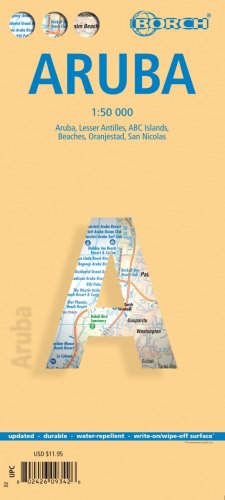
- Aruba Borch
- Laminated, waterproof tourist map of Aruba from Borch, with street plans of Oranjestad and San Nicolas. The main map at 1:50,000 shows the boundaries of the Arikok National Park and highlights numerous places of interest, including beaches, shipwrecks, windsurfing and snorkeling sites, as well as information centres, petrol supplies, etc. The... Read more
- Also available from:
- De Zwerver, Netherlands
Netherlands
- Wegenkaart - landkaart Aruba | Borch
- Laminated, waterproof tourist map of Aruba from Borch, with street plans of Oranjestad and San Nicolas. The main map at 1:50,000 shows the boundaries of the Arikok National Park and highlights numerous places of interest, including beaches, shipwrecks, windsurfing and snorkeling sites, as well as information centres, petrol supplies, etc. The... Read more