
Hohe Tauern
Description

The Hohe Tauern is the main mountain range in the eastern Alps. Of course, everyone has heard of the National Park Hohe Tauern, this pretty area where the Austrians have resisted the temptation of further recreational exploitation.
The Hohe Tauern stretches over 150 km from east to west, and in many places surpasses the 3.000 m line. The Grossglockner (3,798 m) and Grossvenediger (3662 m) are on the program of many hut-hopping tours. Further to the east, the Alps won't reach this 3.000 m boundary any more.
The Hohe Tauern comprises the following, attractive, walking areas, all with plenty of rock and ice:
- Ankogelgruppe
- Defereggengebirge
- Glocknergruppe
- Goldberggruppe
- Kreuzeckgruppe
- Rieserfernergruppe
- Schobergruppe
- Venedigergruppe
- Granatspitzgruppe
- Lasörlinggruppe
For many foreigners the Hohe Tauern is their main summer destination. Hut tours can be conceived of in countless variations and degrees of difficulty. The huts are very good, welcoming and comfortable. The paths are well marked. And in the valleys too hikers are well catered for, with a wide choice of nice trails with spectacular views. Guides and maps are so detailed that wherever you put your feet, you will be able to find interesting mountains and destinations within reach of your own capacity. The only caveat might be the crowds. But everything is relative. What does it matter if, on a sunny and fresh morning, you are in the company of a few more roped groups ahead of you? The mountains seem even greater and more awe-inspiring.
Map

Trails in this region
Links
Facts
Reports
Guides and maps
Lodging
Organisations
Tour operators
GPS
Other
Books
United Kingdom
2021
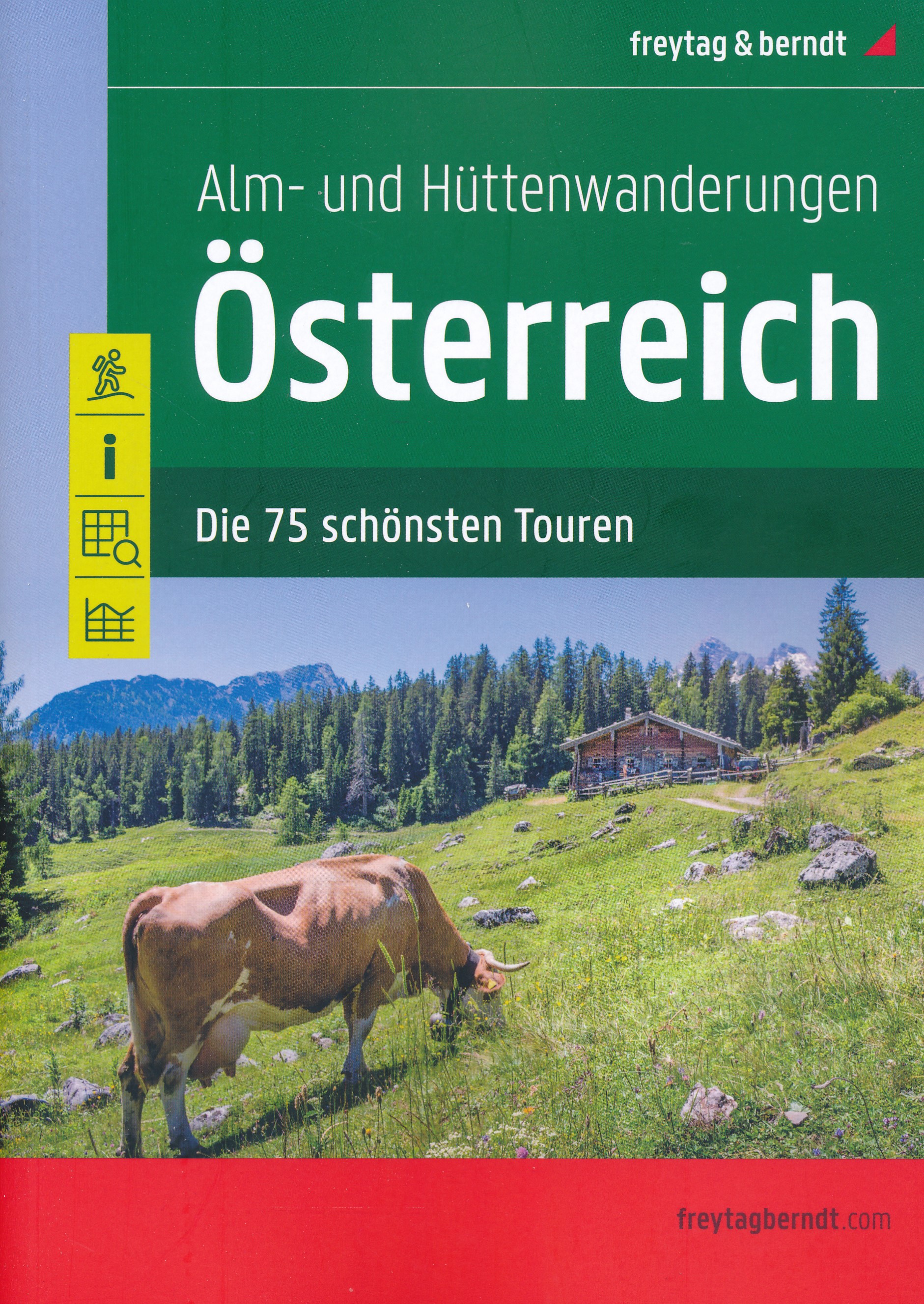
- Austria F&B Alp and Hut-to-Hut Hiking Guide
- A comprehensive guidebook detailing walking routes in Austria. The 101 walks reflect the diversity of this popular region and cover Austria`s magnificent Alps - including the Ratikon, Silvretta, Stubai and Zillertal - as well as the Dachsteingebirge, Hohe Tauern and the Karawanken. Graded according to difficulty and ranging from short walks of... Read more

United Kingdom
2018
- The Karnischer Hohenweg
- A 1-2 week trek on the Carnic Peace Trail: Austria and Italy Read more
- Also available from:
- De Zwerver, Netherlands

Netherlands
2018
- Wandelgids Trekking the Karnischer Höhenweg | Cicerone
- English-language guidebook to the Karnischer Höhenweg, a 206km waymarked hut-to-hut trek along the border between Italy and Austria. Also known as the Carnic Peace Trail, it runs west to east along the Ridge of the Carnic Alps, the site of the WW1 front line. With information on planning your trip, accommodation and the history of the area. Read more
Netherlands
2014
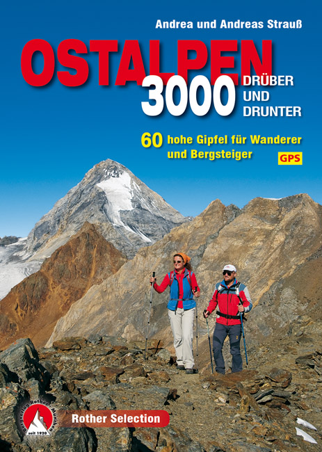
- Wandelgids 3000er Ostalpen. Drüber und drunter | Rother Bergverlag
- Die Gipfel um die Dreitausend Meter sind die Aussichtslogen der Ostalpen. Sie stehen auf der Wunschliste von Wanderern und Bergsteigern meist ganz weit oben. Zwischen Lechtaler Alpen, Ortler, Dolomiten und Tauern findet sich eine breite Auswahl an Bergzielen um diese magische Höhe. Einige lassen sich in einer Tagestour begehen, andere bieten... Read more

Netherlands
2008
- Wandelgids Arnoweg - Der Salzburger Rundwanderweg | Rother Bergverlag
- Dieser gemeinsam mit dem Tourismusverband SalzburgerLand herausgegebene Wanderführer beschreibt detailliert alle Etappen des erst 1999 aus der Taufe gehobenen Arnowegs. Anlaß für die Errichtung dieses Weitwanderwegs war das 1200jährige Jubiläum der Erzdiözese Salzburg, 798 nämlich wurde Bischof Arno zum Erzbischof dieser großen Kirchenprovinz... Read more
Netherlands
2022
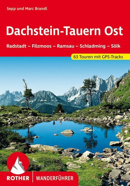
- Wandelgids Dachstein-Tauern Ost | Rother Bergverlag
- Uitstekende wandelgids met een groot aantal dagtochten in dal en hooggebergte. Met praktische informatie en beperkt kaartmateriaal! Wandelingen in verschillende zwaarte weergegeven in rood/blauw/zwart. Dachstein und Tauern Ost– das sind Begriffe, die unter Bergsteigern und Wanderern schon seit jeher Klang und Namen haben. Es sind aber auch... Read more

United Kingdom
2016
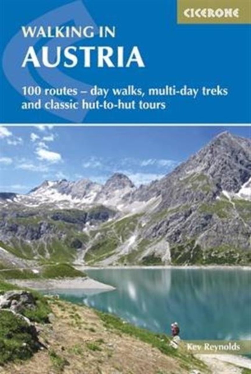
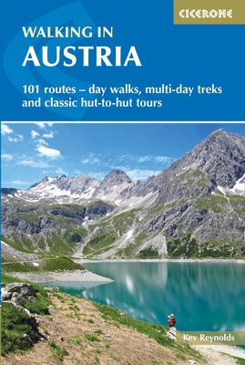
- Walking in Austria: 101 Routes - Day Walks, Multi-Day Treks and Classic Hut-to-Hut Tours
- A comprehensive guidebook detailing walking routes in Austria. The 101 walks reflect the diversity of this popular region and cover Austria`s magnificent Alps - including the Ratikon, Silvretta, Stubai and Zillertal - as well as the Dachsteingebirge, Hohe Tauern and the Karawanken. Graded according to difficulty and ranging from short walks of... Read more
- Also available from:
- The Book Depository, United Kingdom
- Bol.com, Netherlands
- Bol.com, Belgium
- De Zwerver, Netherlands

United Kingdom
2016
- Walking in Austria
- 101 routes - day walks, multi-day treks and classic hut-to-hut tours Read more
Netherlands
2016
- Walking in Austria
- A comprehensive guidebook detailing walking routes in Austria. The 101 walks reflect the diversity of this popular region and cover Austria's magnificent Alps - including the Ratikon, Silvretta, Stubai and Zillertal - as well as the Dachsteingebirge, Hohe Tauern and the Karawanken. Graded according to difficulty and ranging from short walks of... Read more
Belgium
2016
- Walking in Austria
- A comprehensive guidebook detailing walking routes in Austria. The 101 walks reflect the diversity of this popular region and cover Austria's magnificent Alps - including the Ratikon, Silvretta, Stubai and Zillertal - as well as the Dachsteingebirge, Hohe Tauern and the Karawanken. Graded according to difficulty and ranging from short walks of... Read more
Netherlands
2016
- Wandelgids Oostenrijk - Walking in Austria | Cicerone
- A comprehensive guidebook to walking routes in Austria. 101 routes, day walks, multi-day treks and classic hut-to-hut tours in the Ratikon, Silvretta, Stubai, and Zillertal Alps, the Hohe Tauern, and the Karawanken. With information on transport, accommodation, gear and safety, plus full details of over a hundred Austrian mountain huts. Read more
Netherlands
2021
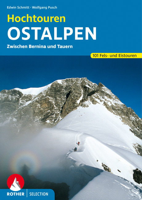
- Wandelgids Hochtouren Ostalpen | Rother Bergverlag
- Das Hochtourenbuch für die Ostalpen – zum Planen, Schmökern und Träumen! Piz Bernina, Piz Palü, Ortler, Adamello, Großglockner, Hochalmspitze ... - große Namen von großen Bergen sind in diesem Buch versammelt, samt der klassischen Anstiege, die jeder hochgebirgserfahrene Bergsteiger irgendwann in seinem Tourenbuch stehen haben will. Die... Read more
Netherlands
2019
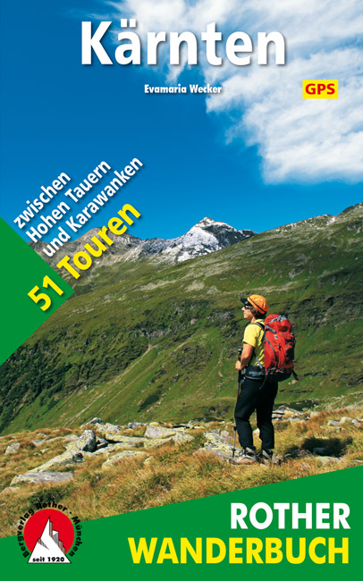
- Wandelgids Kärnten - Karinthië | Rother Bergverlag
- Kärnten, am südöstlichen Rand des weiten Alpenbogens gelegen, wartet mit einer Vielzahl an spannenden Tourenmöglichkeiten auf. Von den Firngipfeln der Hohen Tauern über die runden, grasbewachsenen Nockberge bis zu den schroffen Kalkfelsen der Karnischen Alpen und der Karawanken warten vielfältige landschaftliche Höhepunkte darauf entdeckt zu... Read more
Netherlands
2019
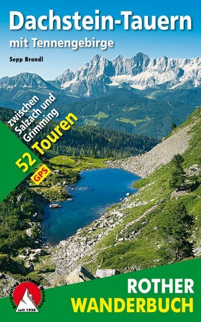
- Wandelgids Dachstein-Tauern mit Tennengebirge | Rother Bergverlag
- De ‘Rother Wanderbücher’ behandelen telkens de 50 mooiste wandelingen, die variëren van eenvoudige kindvriendelijke wandelingen tot routes die aanzienlijk meer ervaring vereisen. Uitvoerige routebeschrijvingen, een aantrekkelijke lay-out met vele kleurenfoto’s, niets aan duidelijkheid te wensen gelaten hoogteprofielen, kaartjes met de... Read more
Netherlands
2024
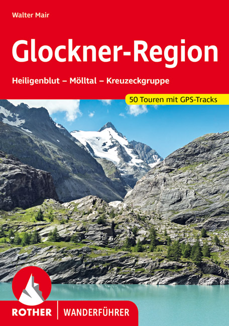
- Wandelgids Glockner-Region | Rother Bergverlag
- Uitstekende wandelgids met een groot aantal dagtochten in dal en hooggebergte. Met praktische informatie en beperkt kaartmateriaal! Wandelingen in verschillende zwaarte weergegeven in rood/blauw/zwart. Der höchste und wohl schönste Berg Österreichs, der Großglockner, bildet die spektakuläre Kulisse für ein außergewöhnlich reizvolles... Read more
Netherlands
2016
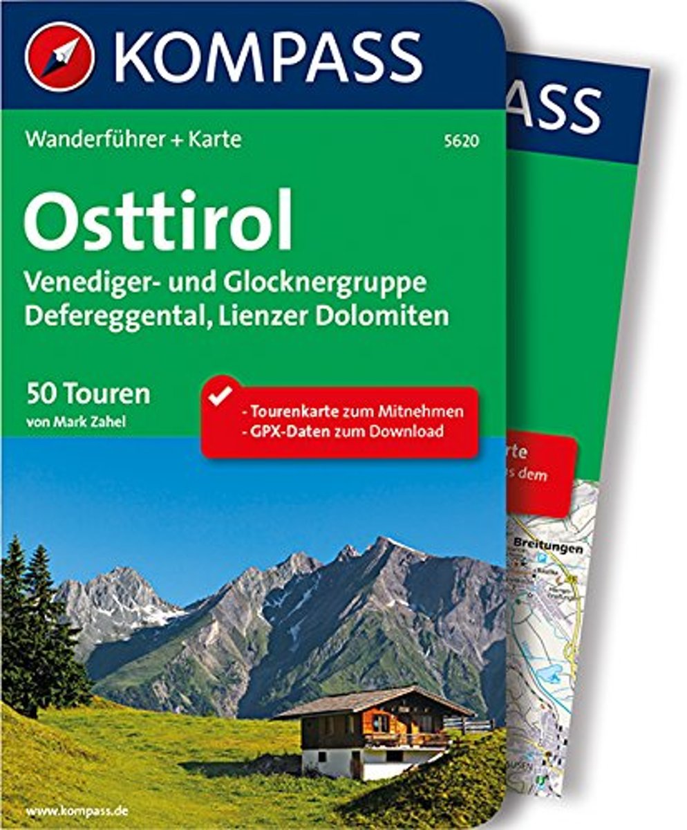
- WF5620 Oost-Tirol Kompass
- De Kompass wandelgids + kaart geeft een overzicht van alle wandelroutes in het gebied met nauwkeurige routeaanwijzingen en hoogteaanduidingen, De extra grote kaart, schaal 1:35 000, is ideaal om van te voren uw route uit te stippelen en om onderweg te gebruiken • naast de bekende bestemmingen, worden ook de minder bekende vermeld • openbaar... Read more
- Also available from:
- Bol.com, Belgium
Belgium
2016
- WF5620 Oost-Tirol Kompass
- De Kompass wandelgids + kaart geeft een overzicht van alle wandelroutes in het gebied met nauwkeurige routeaanwijzingen en hoogteaanduidingen, De extra grote kaart, schaal 1:35 000, is ideaal om van te voren uw route uit te stippelen en om onderweg te gebruiken • naast de bekende bestemmingen, worden ook de minder bekende vermeld • openbaar... Read more

United Kingdom
2010
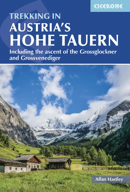
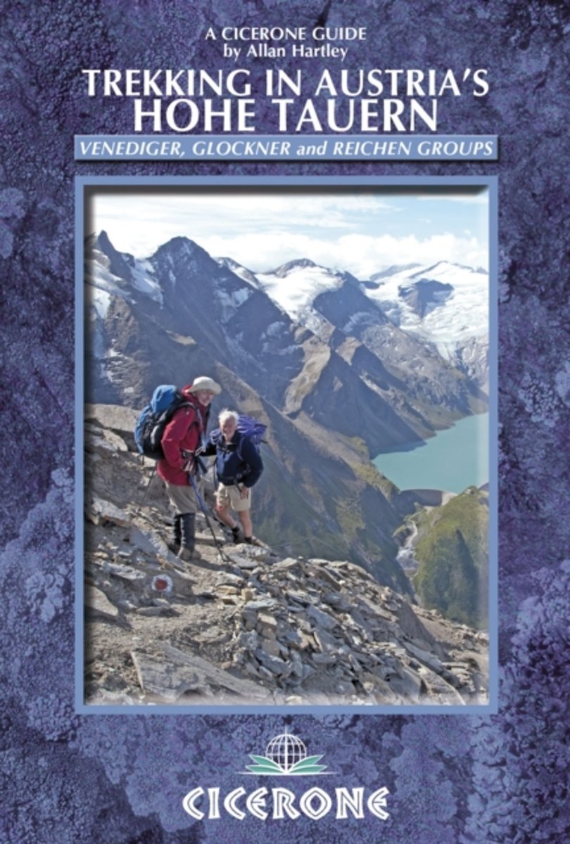
- Austria Hohe Tauern Trekking
- Trekking in Austria’s Hohe Tauern is Allan Hartley’s Cicerone guide to walks in the Venediger, Glockner and Reichen mountain groups. The book describes five longer distance routes; four separate multi-day treks and a ten day traverse of the region. Detailed introductory information and preparation tips are included, whilst the options in the... Read more
- Also available from:
- The Book Depository, United Kingdom
- Bol.com, Netherlands
- Bol.com, Belgium

United Kingdom
2010
- Trekking in Austria's Hohe Tauern
- Venediger, Glockner and Reichen Groups Read more
Netherlands
2010
- Trekking in Austria's Hohe Tauern
- Situated in the heart of Austria and the Eastern Alps, the Hohe Tauern National Park is the largest in Europe and a World Conservation Area, taking in the Tyrol, Salzburg and Karnten. The area boasts dramatic valleys headed by scores of peaks and hikers are well supported by some of the best huts in the Alps. The Park is centered on the Gross... Read more
Belgium
2010
- Trekking in Austria's Hohe Tauern
- Situated in the heart of Austria and the Eastern Alps, the Hohe Tauern National Park is the largest in Europe and a World Conservation Area, taking in the Tyrol, Salzburg and Karnten. The area boasts dramatic valleys headed by scores of peaks and hikers are well supported by some of the best huts in the Alps. The Park is centered on the Gross... Read more
Netherlands
2021
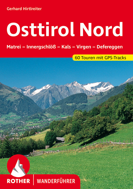
- Wandelgids Osttirol Nord | Rother Bergverlag
- Uitstekende wandelgids met een groot aantal dagtochten in dal en hooggebergte. Met praktische informatie en beperkt kaartmateriaal! Wandelingen in verschillende zwaarte weergegeven in rood/blauw/zwart. Das »Sonnenland« Osttirol liegt - fast zur Hälfte höher als 2000 m - südlich der höchsten Alpenkette Österreichs, der Hohen Tauern. Es ist von... Read more
Maps

United Kingdom
- Mölltal - Kreuzeckgruppe - Drautal F&B WK225
- Mölltal - Kreuzeckgruppe - Drautal area of Carinthia presented at 1:50,000 in a series of contoured and GPS compatible outdoor leisure map from Freytag & Berndt with hiking and cycling routes, mountain huts, campsites and youth hostels, local bus stops, plus other tourist information.To see the list of currently available titles in this series... Read more

United Kingdom
- Grossglockner - Sonnblick - Kaprun - Zell am See F&B WK120
- Grossglockner - Sonnblick - Kaprun - Zell am See area of the Austrian Alps presented at 1:50,000 in a series of contoured and GPS compatible outdoor leisure map from Freytag & Berndt with hiking and cycling routes, mountain huts, campsites and youth hostels, local bus stops, plus other tourist information.To see the list of currently available... Read more

United Kingdom
- Zell am See - Kaprun - Saalbach F&B WK382
- Zell-am-See - Kaprun - Saalbach area of the Austrian Alps presented at 1:50,000 in a series of contoured and GPS compatible outdoor leisure map from Freytag & Berndt with hiking and cycling routes, mountain huts, campsites and youth hostels, local bus stops, plus other tourist information. To see the list of currently available titles in this... Read more

United Kingdom
- Mayrhofen - Zillertal Alps - Gerlos - Krimml - Tuxertal - Zell im Zillertal F&B WK152
- Mayrhofen - Zillertal Alps - Gerlos - Krimml - Tuxertal - Zell im Zillertal area of the Austrian Alps presented at 1:50,000 in a series of contoured and GPS compatible outdoor leisure map from Freytag & Berndt with hiking and cycling routes, mountain huts, campsites and youth hostels, local bus stops, plus other tourist information.To see the... Read more

United Kingdom
- Hochschwab - Aflenz - Wildalpen - Salzatal F&B WK5041
- Hochschwab - Aflenz - Wildalpen - Salzatal area of eastern Austria presented at 1:35,000 in a series of contoured and GPS compatible outdoor leisure map from Freytag & Berndt with hiking and cycling routes, mountain huts, campsites and youth hostels, local bus stops, plus other tourist information. Cartography is an enlargement of the... Read more

United Kingdom
- Radstädter Tauern - Katschberg - Lungau F&B WK202
- Radstädter Tauern - Katschberg - Lungau area of the Austrian Alps presented at 1:50,000 in a series of contoured and GPS compatible outdoor leisure map from Freytag & Berndt with hiking and cycling routes, mountain huts, campsites and youth hostels, local bus stops, plus other tourist information.To see the list of currently available titles in... Read more

United Kingdom
- Gasteinertal - Wagrain - Raurisertal - Grossarltal F&B WK191
- Gasteiner Tal - Wagrain - Grossarltal - St. Johann im Pongau - Bad Hofgastein - Bad Gastein area of the Austrian Alps presented at 1:50,000 in a series of contoured and GPS compatible outdoor leisure map from Freytag & Berndt with hiking and cycling routes, mountain huts, campsites and youth hostels, local bus stops, plus other tourist... Read more

United Kingdom
2013
- Grossvenediger - Hohe Tauern NP - Matrei - Felber - Tauern - Oberpinzgau K+F Outdoor Map 12
- Grossvenediger - Hohe Tauern NP - Matrei - Felber - Tauern - Oberpinzgau area of the Tyrol at 1:35,000 on a GPS compatible, double-sided map from Kümmerly+Frey printed on sturdy, waterproof and tear-resistant synthetic paper; contoured, with hiking, cycling and ski routes, accommodation facilities, locations for other recreational activities,... Read more

United Kingdom
- Gasteinertal - Goldberggruppe - NP Hohe Tauern Kompass 40
- Gasteiner Tal – Goldberggruppe area in a detailed, GPS compatible map at 1:50,000 from Kompass with local and long-distance footpaths, cycling routes, accommodation, etc, printed on durable, waterproof and tear-resistant synthetic paper. The map is centered on the popular resort of Bad Hofgastein and covers part of the Hohe Tauern National... Read more

United Kingdom
- Hohe Tauern Select-Ankogel - Gastein - Heiligenblut - Molltaler Freeride Map
- The best rides in the freeride hot spots of the Alps – this is the simple formula of the Freeride Maps. The first map available to freeriders is making the locals freeride knowledge available to a broad public.All ridable slopes, drops and couloirs are marked as freeride corridors in different colours for three difficulty ratings: blue for... Read more

United Kingdom
- Ebermannstadt E10
- Ebermannstadt in a series of GPS compatible recreational editions of the Bavarian topographic survey at 1:25,000, with waymarked hiking trails and cycling routes, campsites and youth hostels, etc. Coverage includes Gößweinstein, Waischenfeld, Wiesenttal, Pottenstein, Pretzfeld, Heiligenstadt i.OFr.Contours used in this map vary between 5 to 20m... Read more

United Kingdom
- Grossvenediger - Oberpinzgau F&B WK121
- Grossvenediger - Oberpinzgau area of the Austrian Alps presented at 1:50,000 in a series of contoured and GPS compatible outdoor leisure map from Freytag & Berndt with hiking and cycling routes, mountain huts, campsites and youth hostels, local bus stops, plus other tourist information.To see the list of currently available titles in this... Read more
- Also available from:
- The Book Depository, United Kingdom

United Kingdom
- Grossvenediger - Oberpinzgau Hiking + Leisure Map 1:50 000
- Grossvenediger - Oberpinzgau area of the Austrian Alps presented at 1:50,000 in a series of contoured and GPS compatible outdoor leisure map from Freytag & Berndt with hiking and cycling routes, mountain huts, campsites and youth hostels, local bus stops, plus other tourist information.To see the list of currently available titles in this... Read more

United Kingdom
- Matrei - Deferggen - Virgental F&B WK123
- Matrei - Deferggen - Virgental area of the Austrian Alps presented at 1:50,000 in a series of contoured and GPS compatible outdoor leisure map from Freytag & Berndt with hiking and cycling routes, mountain huts, campsites and youth hostels, local bus stops, plus other tourist information.To see the list of currently available titles in this... Read more
- Also available from:
- The Book Depository, United Kingdom

United Kingdom
- Matrei - Defereggen - Virgental Hiking + Leisure Map 1:50 000
- Matrei - Deferggen - Virgental area of the Austrian Alps presented at 1:50,000 in a series of contoured and GPS compatible outdoor leisure map from Freytag & Berndt with hiking and cycling routes, mountain huts, campsites and youth hostels, local bus stops, plus other tourist information.To see the list of currently available titles in this... Read more

United Kingdom
2018
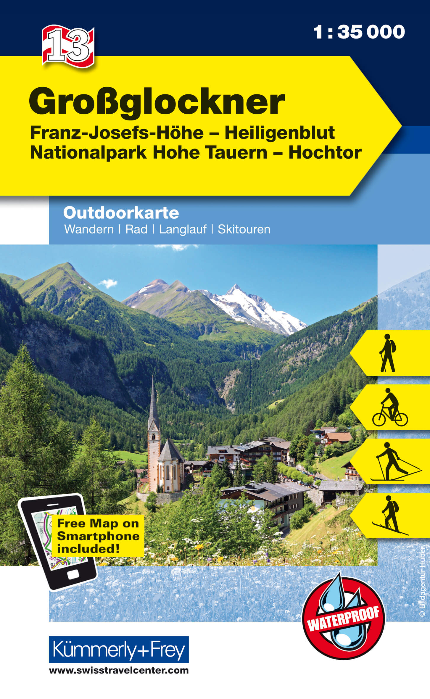
- Grossglockner - Franz-Josefs-Hohe - Heiligenblut - Hohe Tauern NP - Hochtor K+F Outdoor Map 13
- Grossglockner - Franz-Josefs-Hohe - Heiligenblut - Hohe Tauern NP - Hochtor area of the Tyrol at 1:35,000 on a GPS compatible, double-sided map from Kümmerly+Frey printed on sturdy, waterproof and tear-resistant synthetic paper; contoured, with hiking, cycling and ski routes, accommodation facilities, locations for other recreational... Read more
- Also available from:
- De Zwerver, Netherlands
Netherlands
2018
- Wandelkaart 13 Outdoorkarte AT Grossglockner | Kümmerly & Frey
- Grossglockner - Franz-Josefs-Hohe - Heiligenblut - Hohe Tauern NP - Hochtor area of the Tyrol at 1:35,000 on a GPS compatible, double-sided map from Kümmerly+Frey printed on sturdy, waterproof and tear-resistant synthetic paper; contoured, with hiking, cycling and ski routes, accommodation facilities, locations for other recreational... Read more

United Kingdom
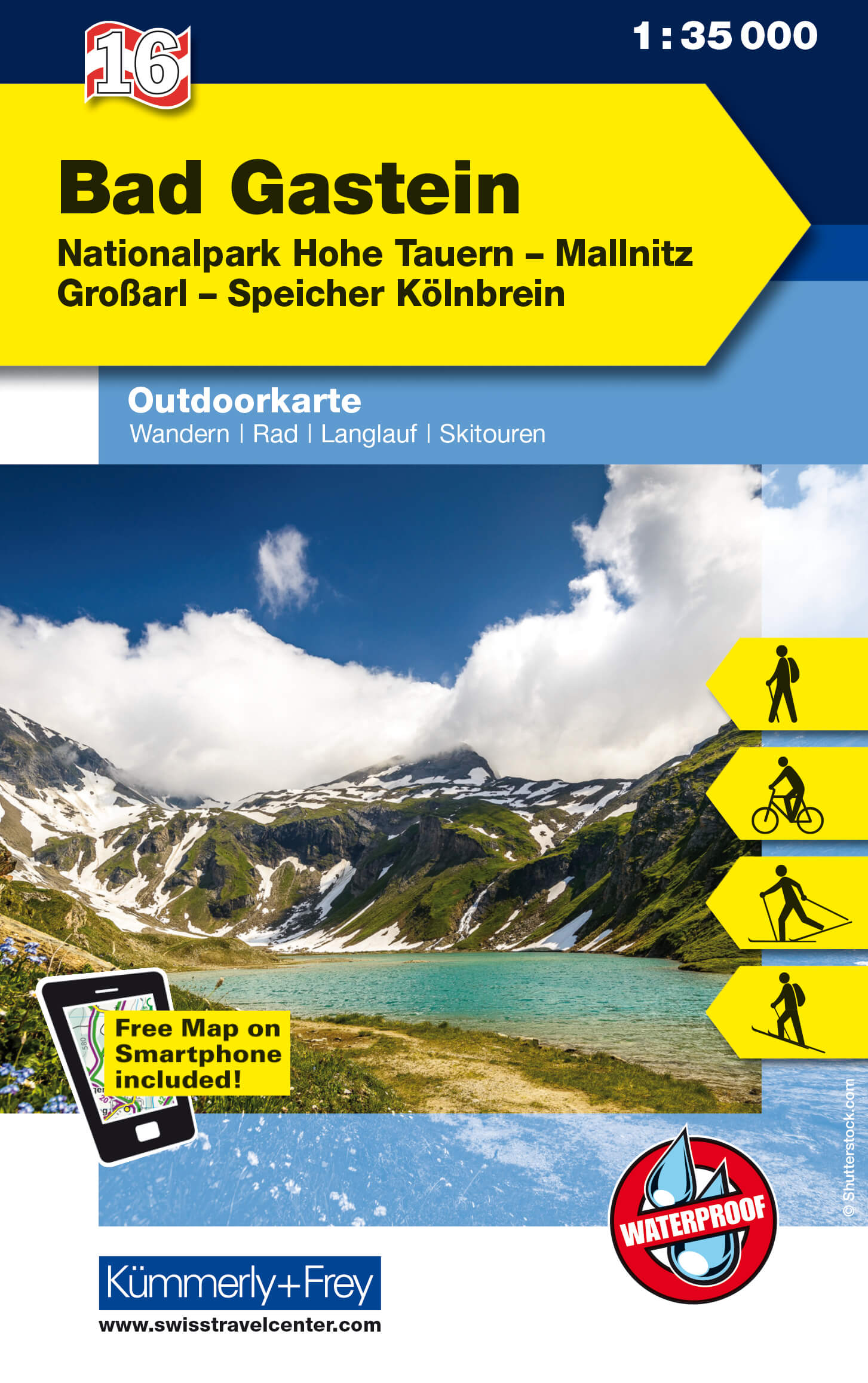
- Bad Gastein K+F Outdoor Map 16
- Bad Gastein area of the Tyrol at 1:35,000 on a GPS compatible, double-sided map from Kümmerly+Frey printed on sturdy, waterproof and tear-resistant synthetic paper; contoured, with hiking, cycling and ski routes, accommodation facilities, locations for other recreational activities, etc.Maps in the K+F recreational series covering the Austrian... Read more
- Also available from:
- De Zwerver, Netherlands
Netherlands
- Wandelkaart 16 Outdoorkarte AT Bad Gastein | Kümmerly & Frey
- Bad Gastein area of the Tyrol at 1:35,000 on a GPS compatible, double-sided map from Kümmerly+Frey printed on sturdy, waterproof and tear-resistant synthetic paper; contoured, with hiking, cycling and ski routes, accommodation facilities, locations for other recreational activities, etc.Maps in the K+F recreational series covering the Austrian... Read more