
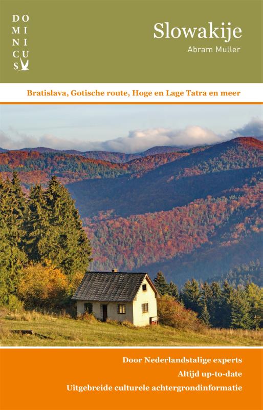
Slovakia
Description

As a Western European it's great fun to discover the hiking possibilities of Eastern Europe. Take Slovakia, a beautiful country, which wisely separated itself from the Czech Republic after the desintegration of the Soviet Union. The Slovaks have the highest parts of the Tatras range within their borders, and they much enjoy walking there.
There are different massifs. From north to south: the High Tatras (Vysoké Tatry) with Slovakia's highest mountain, Gerlach Peak. To climb this 2655m mountain is no easy stroll. (The highest mountain on the other side of the border, 2499m Rysy in Poland, is much easier). Next are the Low Tatras (Nizke Tatry). East of these you will find the Slovak Paradise (Slevensky Raj), a karst massif. To the west of the Tatras are more mountain ranges: Malá Fatra and Velka Fatra. Still further west, leaning on the Czech Republic, are Biele Karpaty and Malé Karpaty, geologically part of the Carpathian Mountains which start in Serbia.
Hiking in Slovakia means to buy maps and set out. Trails are marked by a red, blue, green or yellow strip between two white bars. Signposts give information about the length of walks. The Slovak Tourist Club (Klub Slovensky Turistov) maintains the paths.
The idea of long distance hiking trails has blown in from other parts of Europe. There are three attractive routes. The Pilgrim Trail coinciding with European long distance trail E3 includes the Malá Fatra mountains. The E8, a more interesting option, follows a string of mountain ranges: the Malé Karpaty, the Low Tatras and the Slovak Paradise. The international Mariánska pilgrimage hiking trail largely coincides with the E8. Last but not least there is the Tatranska Magistrala trail, a three day hike across the High Tatras from east to west.
In winter and early spring all mountains are covered in snow. Hiking season starts in the second half of June. In July and August trails and huts in the most popular areas are crammed with hikers.
Trails
Regions


Links
Facts
Reports
Guides and maps
Lodging
Organisations
Tour operators
GPS
Other
Books

United Kingdom
2016
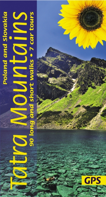
- Tatra Mountains of Poland and Slovakia Sunflower Landscape Guide
- Within the compact area covered by this guide (140km east-west, 65km north-south) are two outstanding national parks in southernmost Poland: Pieniny and Tatra, and the best of neighbouring Slovakia`s mountains in four national parks: Tatra, Slovensky Raj (Slovak Paradise), Low Tatra and Mala Fatra. There can be few places where walkers are... Read more
Netherlands
- Marketa Luskacova
- Czech photographer Marketa Luskacova's work is valued both as document and ethical message. This monograph, comprised of photographs taken from the mid-60s to the present, includes her series Pilgrims and Sumiac, Slovakia, which capture the vanishing world of the rural pilgrim and the mountain people of Slovakia. Later cycles, shot in Great... Read more
- Also available from:
- Bol.com, Belgium
Belgium
- Marketa Luskacova
- Czech photographer Marketa Luskacova's work is valued both as document and ethical message. This monograph, comprised of photographs taken from the mid-60s to the present, includes her series Pilgrims and Sumiac, Slovakia, which capture the vanishing world of the rural pilgrim and the mountain people of Slovakia. Later cycles, shot in Great... Read more

United Kingdom
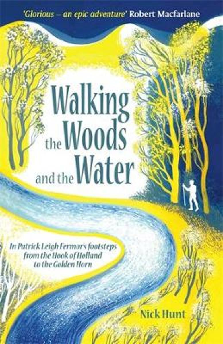
- Walking the Woods and the Water
- In Patrick Leigh Fermor's Footsteps from the Hook of Holland to the Golden Horn Read more
- Also available from:
- Bol.com, Netherlands
- Bol.com, Belgium
Netherlands
- Walking the Woods and the Water
- In 1933, the eighteen year old Patrick Leigh Fermor set out in a pair of hobnailed boots to chance and charm his way across Europe, like a tramp, a pilgrim or a wandering scholar. The books he later wrote about this walk, A Time of Gifts, Between the Woods and the Water, and the posthumous The Broken Road are a half-remembered, half-reimagined... Read more
Belgium
- Walking the Woods and the Water
- In 1933, the eighteen year old Patrick Leigh Fermor set out in a pair of hobnailed boots to chance and charm his way across Europe, like a tramp, a pilgrim or a wandering scholar. The books he later wrote about this walk, A Time of Gifts, Between the Woods and the Water, and the posthumous The Broken Road are a half-remembered, half-reimagined... Read more
Netherlands
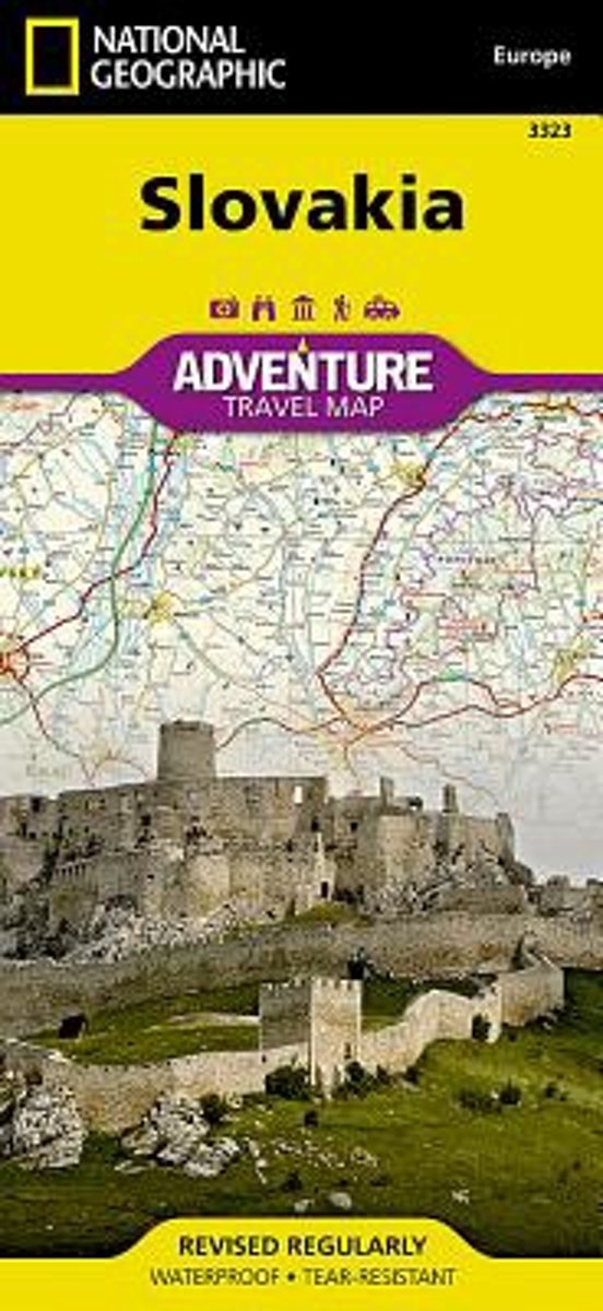
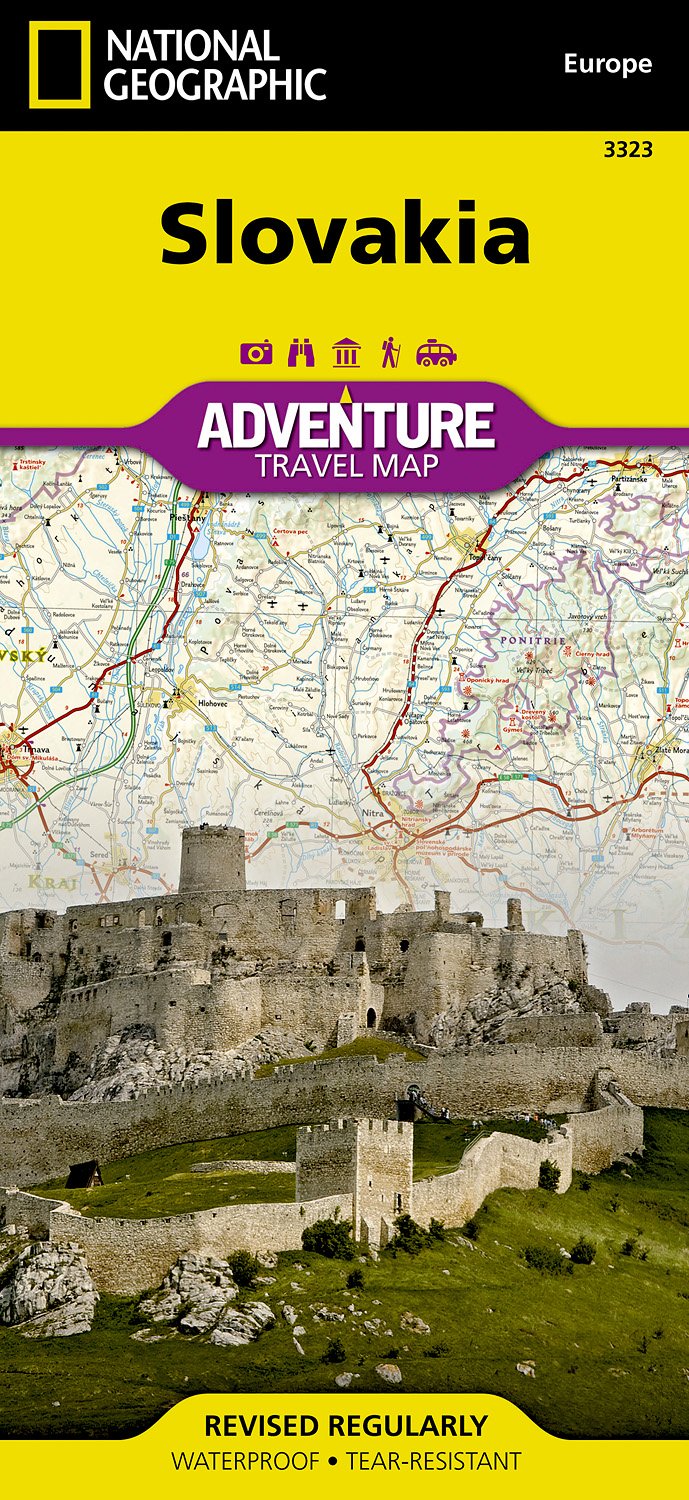
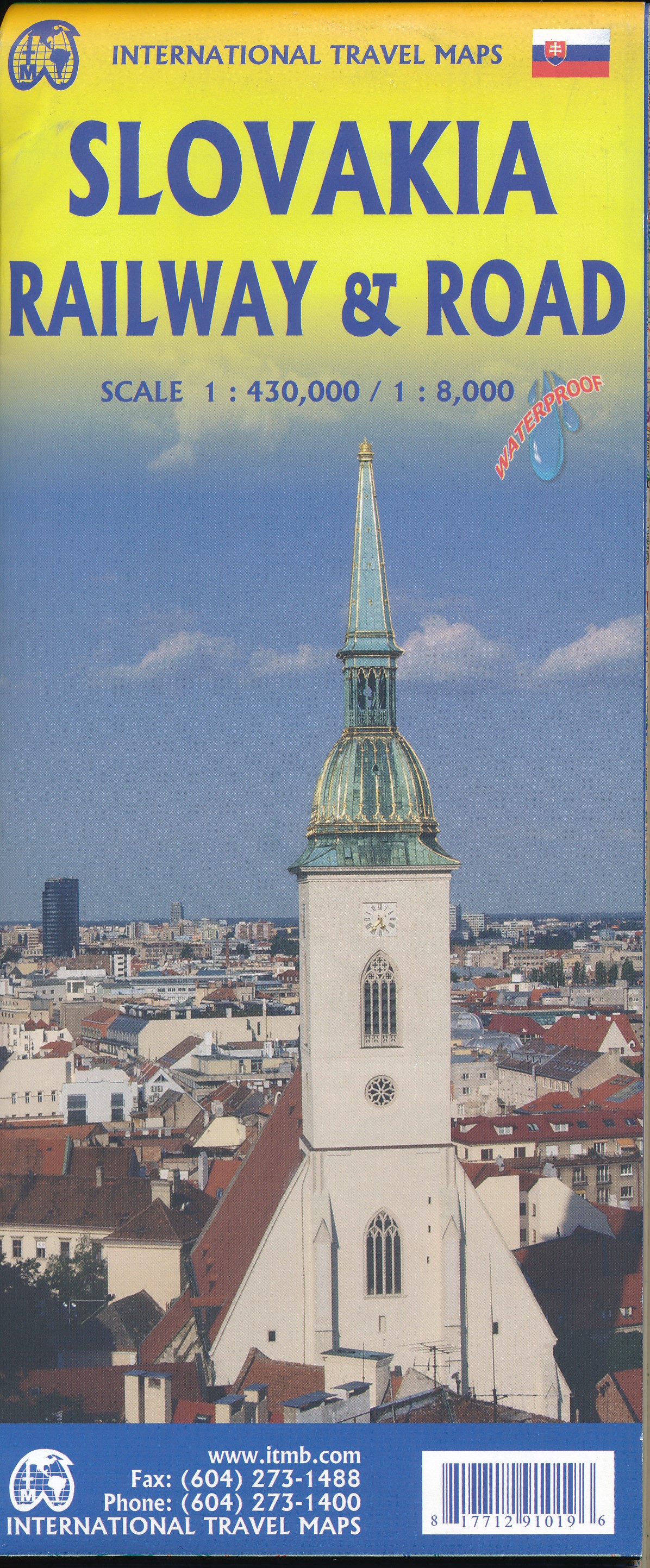
- Slovakia
- Waterproof Tear-Resistant Travel MapSlovakia's snow-capped mountains and lush valleys making up almost a third of its area a great place for adventure whether you are on a solo holiday, travelling with a partner, or with a family group. National Geographic's Slovakia AdventureMap is designed to meet the needs of all adventure travelers... Read more
- Also available from:
- Bol.com, Belgium
- De Zwerver, Netherlands
Belgium
- Slovakia
- Waterproof Tear-Resistant Travel MapSlovakia's snow-capped mountains and lush valleys making up almost a third of its area a great place for adventure whether you are on a solo holiday, travelling with a partner, or with a family group. National Geographic's Slovakia AdventureMap is designed to meet the needs of all adventure travelers... Read more
Netherlands
- Wegenkaart - landkaart 3323 Adventure Map Slovakia - Slowakije | National Geographic
- Waterproof Tear-Resistant Travel MapSlovakia's snow-capped mountains and lush valleys making up almost a third of its area a great place for adventure whether you are on a solo holiday, travelling with a partner, or with a family group. National Geographic's Slovakia AdventureMap is designed to meet the needs of all adventure travelers... Read more
Netherlands
2010
- Lonely Planet Czech & Slovak Republics
- Experience the best of the Czech and Slovak Republics with Lonely Planet. With our 6th edition you'll discover atmospheric castles on green hilltops, marvel at centuries of architectural majesty in Prague, ski down pristine slopes in the Tatras and relax with a glass of crips, golden beer in historic Plzen.Lonely Planet guides are written by... Read more
- Also available from:
- Bol.com, Belgium
Belgium
2010
- Lonely Planet Czech & Slovak Republics
- Experience the best of the Czech and Slovak Republics with Lonely Planet. With our 6th edition you'll discover atmospheric castles on green hilltops, marvel at centuries of architectural majesty in Prague, ski down pristine slopes in the Tatras and relax with a glass of crips, golden beer in historic Plzen.Lonely Planet guides are written by... Read more
Netherlands
2018
- Reisgids Eyewitness Travel Czech & Slovak Republics - Tsjechië en Slowakije | Dorling Kindersley
- History & Politics Continent - Europe More Europe International Books Read more
Netherlands
2022
Netherlands
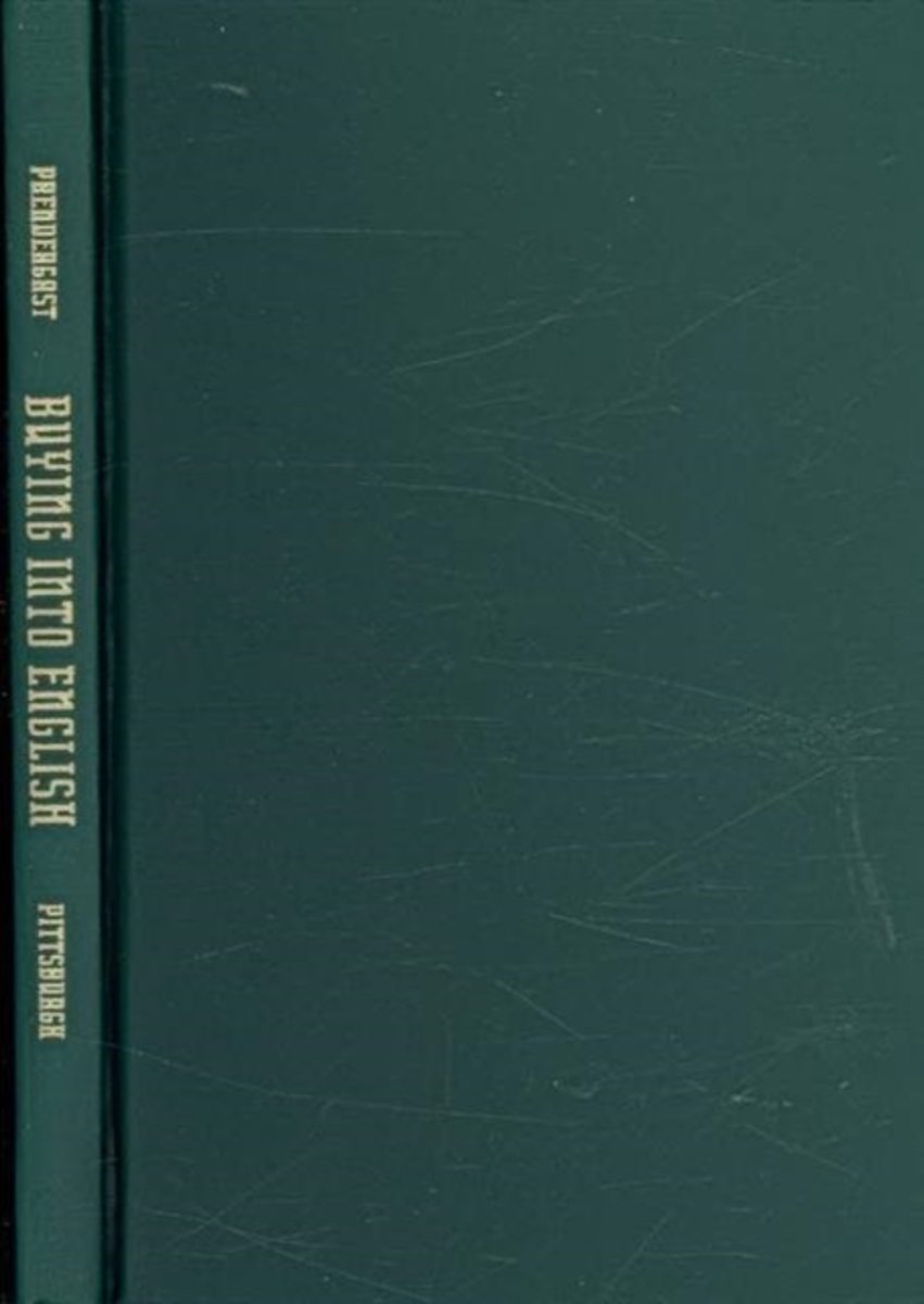
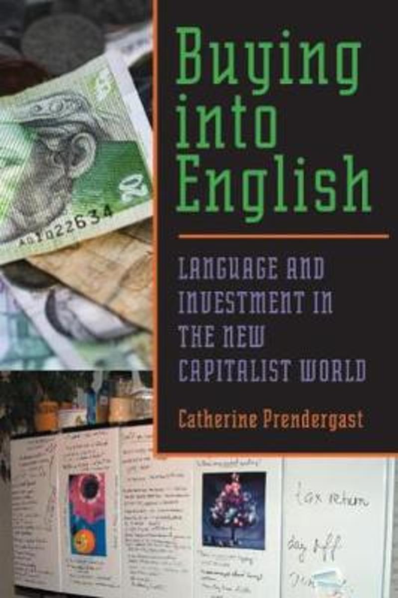
- Buying into English
- English has become the language of choice for global economic, political, and cultural exchange. Many developing countries (and, notably, many former Soviet bloc countries) have little choice but to "buy into English" as a path to ideological and material betterment. As Catherine Prendergast reveals, however, investing in English has not always... Read more
- Also available from:
- Bol.com, Belgium
Belgium
- Buying into English
- English has become the language of choice for global economic, political, and cultural exchange. Many developing countries (and, notably, many former Soviet bloc countries) have little choice but to "buy into English" as a path to ideological and material betterment. As Catherine Prendergast reveals, however, investing in English has not always... Read more
Netherlands
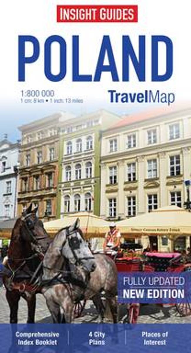
- Insight Guides Travel Map Poland
- Travel Map Poland is a double-sided, indexed, road map at 1:800 000. It includes detailed city plans of Krakow and Warsaw together with plans of Prague in the Czech Republic and Bratislava in Slovakia, each city has its own separate listing in the attached index. Places of interest including nature reserves, national parks, museums, monuments... Read more
- Also available from:
- Bol.com, Belgium
Belgium
- Insight Guides Travel Map Poland
- Travel Map Poland is a double-sided, indexed, road map at 1:800 000. It includes detailed city plans of Krakow and Warsaw together with plans of Prague in the Czech Republic and Bratislava in Slovakia, each city has its own separate listing in the attached index. Places of interest including nature reserves, national parks, museums, monuments... Read more
Netherlands
- Buying into English
- Many developing countries have little choice but to "buy into English" as a path to ideological and material betterment.Based on extensive fieldwork in Slovakia, Prendergast assembles a rich ethnographic study that records the thoughts, aspirations, and concerns of Slovak nationals, language instructors, journalists, and textbook authors who... Read more
- Also available from:
- Bol.com, Belgium
Belgium
- Buying into English
- Many developing countries have little choice but to "buy into English" as a path to ideological and material betterment.Based on extensive fieldwork in Slovakia, Prendergast assembles a rich ethnographic study that records the thoughts, aspirations, and concerns of Slovak nationals, language instructors, journalists, and textbook authors who... Read more
Netherlands
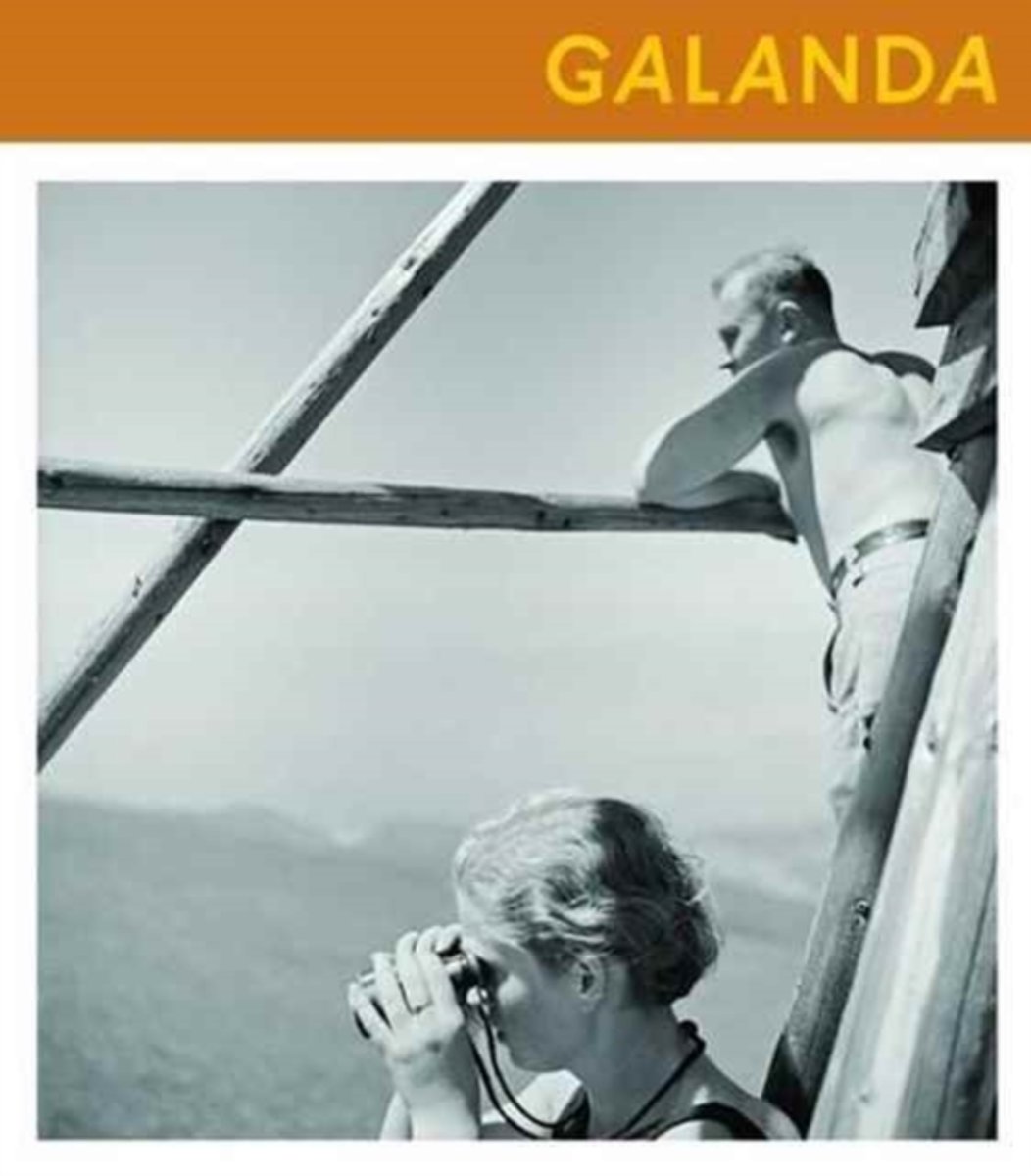
- Jan Galanda
- The history of Slovak photography is full of unnoticed, semi-forgotten or completely forgotten figures. However, until recently, only a few were as unknown as Ján Galanda. Like most modern Slovak photographers, Ján Galanda was an amateur; in his civil life he worked as a bank clerk. He didnt begin to systematically work with photography until... Read more
- Also available from:
- Bol.com, Belgium
Belgium
- Jan Galanda
- The history of Slovak photography is full of unnoticed, semi-forgotten or completely forgotten figures. However, until recently, only a few were as unknown as Ján Galanda. Like most modern Slovak photographers, Ján Galanda was an amateur; in his civil life he worked as a bank clerk. He didnt begin to systematically work with photography until... Read more
Netherlands
2023
Maps

United Kingdom
- Slovakia Shocart 50K Tourist Atlas
- Very detailed, good tourist atlas of the Slovak Republic at 1:50,000, presented in an A4 ring binder with a hard slipcase, therefore giving the opportunity to use single sheets if needed and making it perfect for walking.The cartography is as clear and accurate as the UK`s Ordnance Survey, with hill shading, contours and peak heights to show... Read more

United Kingdom
- Slovakia Road Atlas
- Slovakia Road Atlas at 1:100,000 in an A4, spiral-bound format from Shocart, part of the Freytag & Berndt cartographic group, with extensive overprint for waymarked hiking routes, plus indexed street plan of the country’s eight main cities including Bratislava, etc.For drivers the atlas presents a finely graded road network with driving... Read more

United Kingdom
- Czech Republic Marco Polo Road Atlas
- Czech Republic Road Atlas from MairDumont in an A4 spiral-bound format, with 18 street plans and the publisher’s innovative system of providing peel-on/peel-off stickers for making selected locations more prominent when navigating.MairDumont’s distinctive cartography boldly stresses main roads and motorways in strong colours and selected towns... Read more

United Kingdom
- Tatra Tourist Attractions (Dookola Tatr)
- The Tatra Mountains in Poland and Slovakia on an overview road map at 1:100,000 from Cartomedia showing access to the mountains on both sides of the border and highlighting picturesque locations and other places of interest, plus street plans of Nowy Targ in Poland and Poprad and Liptovský Mikuláš in Slovakia. Coverage extends from Nowy Targ... Read more

United Kingdom
- Gorce and Pieniny ExpressMap Tourist Map
- Gorce and Pieniny in a series covering Poland’s best hiking areas on waterproof and tear-resistant, laminated maps, specially designed to withstand repeated re-folding and even the worst weather conditions. Each map is double-sided and has clear, well presented cartography with a contoured base (20m interval) and, where appropriate, relief... Read more

United Kingdom
- Czech - Slovak Republics F&B Superatlas
- Road Atlas of the Czech Republic and Slovakia at 1:150,000 from Freytag & Berndt, presenting each county separately and accompanied by street plans and enlargements for main urban areas, plus mapping of the whole of Europe for route planning.The atlas, published in an A4 spiral-bound format, presents each country on a separate set of maps, with... Read more

United Kingdom
- Slovakia Michelin 756
- The Michelin National road map of the Slovak Republic at 1:500,000 scale is ideal for route planning and touring. The map gives comprehensive coverage of national road networks showing all major motorways, dual carriageways, national & regional main roads and most single-lane roads. The map is divided by grid showing latitude and... Read more

United Kingdom
- Tatra National Park
- Detailed hiking map of the Tatra National Park (Tatrzanski) at 1:25,000. The back of the map contains a city map of Zakopane, a small overview map as well as tourist information (in Polish) and pictures.This map covers the whole of the Tatra National Park.Map legend includes English. Cartography all in Czech and Polish.PLEASE NOTE: to see the... Read more
Netherlands
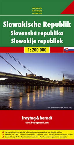
- Wegenkaart - landkaart Slowakische Republik - Slowakije | Freytag & Berndt
- Slowakische Republik 1 : 200 000. Autokarte ab 10.9 EURO Touristische Informationen, Ortsregister mit Postleitzahlen Freytag & Berndt Autokarte. Neuauflage,, Laufzeit bis 2019 Read more
Netherlands
- Kompass WK2130 Hoge Tatra
- Een gedetailleerde kaart van de Hoge Tatra, ideaal voor het uitstippelen van wandel- en fietsroutes en om onderweg te gebruiken • goed leesbare kaart met heel veel topografische details • duidelijke symbolen maken de kaart extra overzichtelijk • wandel- en fietsroutes zijn aangegeven • praktische informatie over de regio • bruikbaar met GPS •... Read more
- Also available from:
- Bol.com, Belgium
Belgium
- Kompass WK2130 Hoge Tatra
- Een gedetailleerde kaart van de Hoge Tatra, ideaal voor het uitstippelen van wandel- en fietsroutes en om onderweg te gebruiken • goed leesbare kaart met heel veel topografische details • duidelijke symbolen maken de kaart extra overzichtelijk • wandel- en fietsroutes zijn aangegeven • praktische informatie over de regio • bruikbaar met GPS •... Read more

United Kingdom
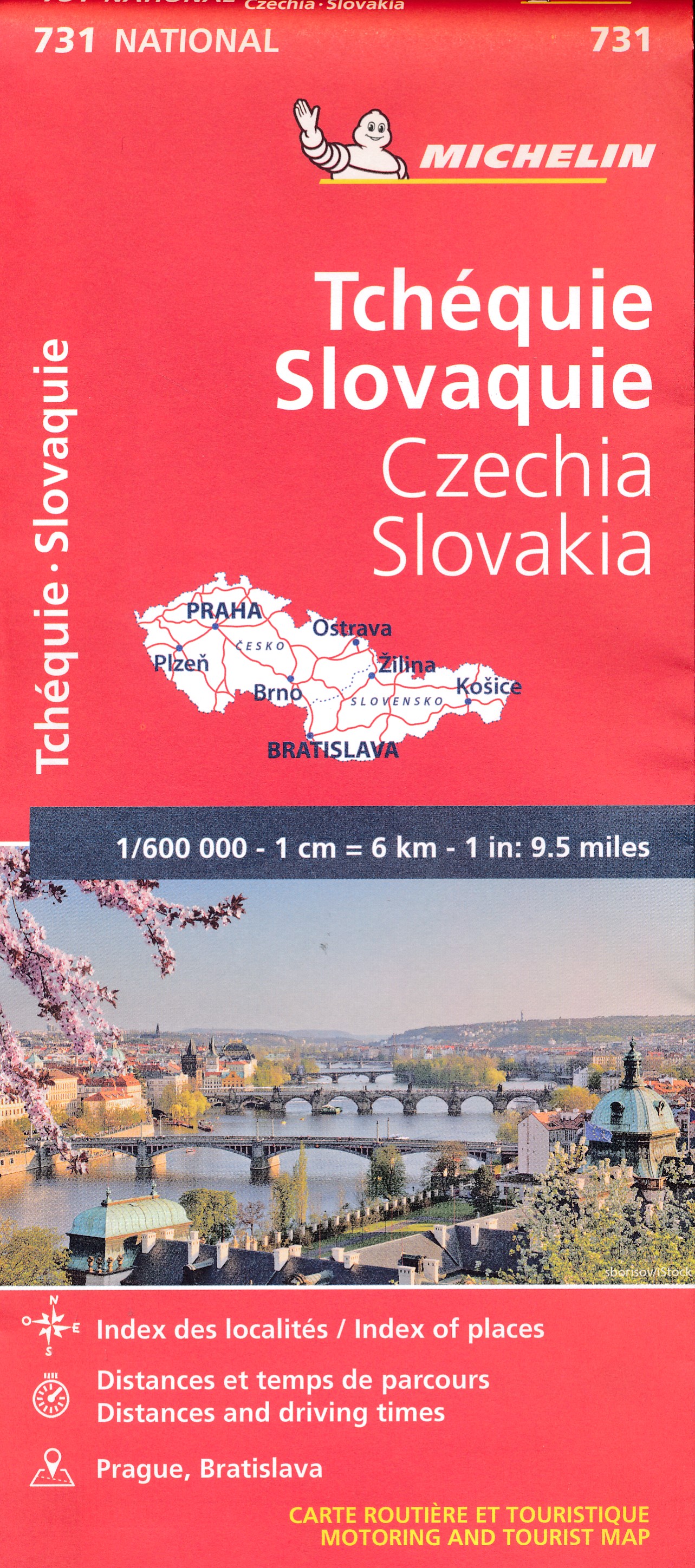
- Czechia - Slovakia Michelin
- The Michelin National road map of the Czech and Slovak Republics at 1:600,000 scale is ideal for route planning and touring. The map gives comprehensive coverage of national road networks showing all major motorways, dual carriageways, national & regional main roads and most single-lane roads. The map is divided by grid showing latitude and... Read more
- Also available from:
- De Zwerver, Netherlands
Netherlands
- Wegenkaart - landkaart 731 Tsjechië en Slowakije | Michelin
- Un voyage, ça se prépare : c?est pourquoi les cartes National Michelin participent à vos déplacements et vos choix d?itinéraires. Read more

United Kingdom
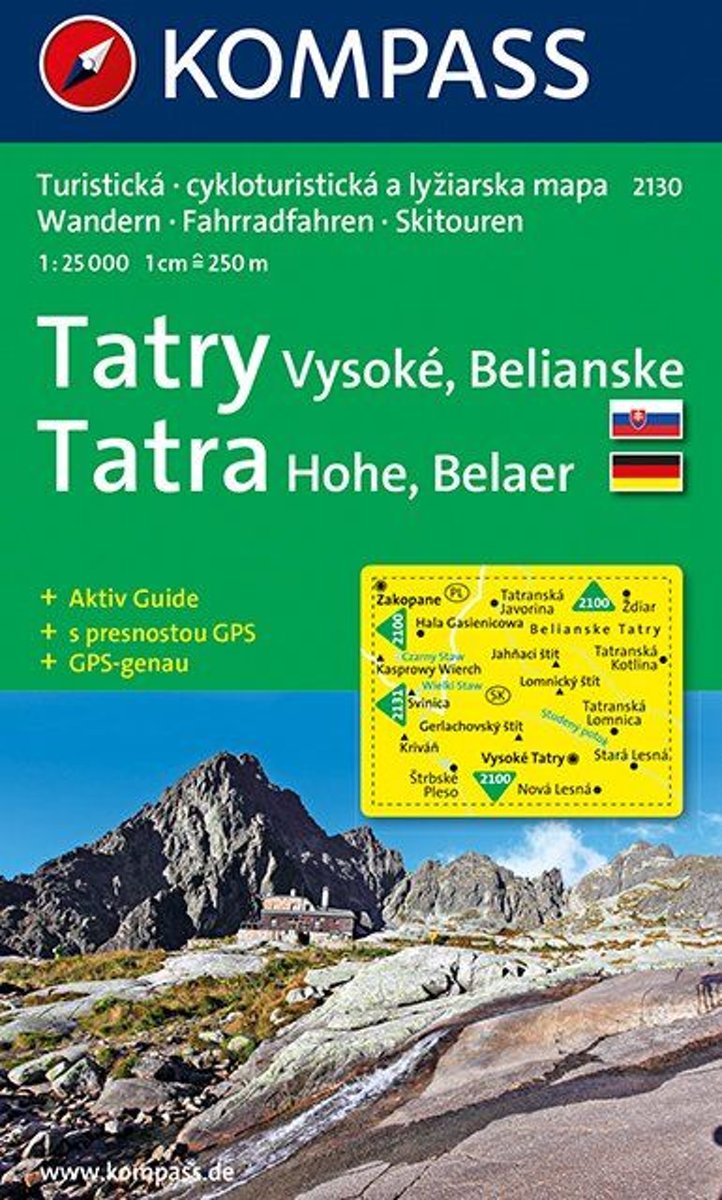
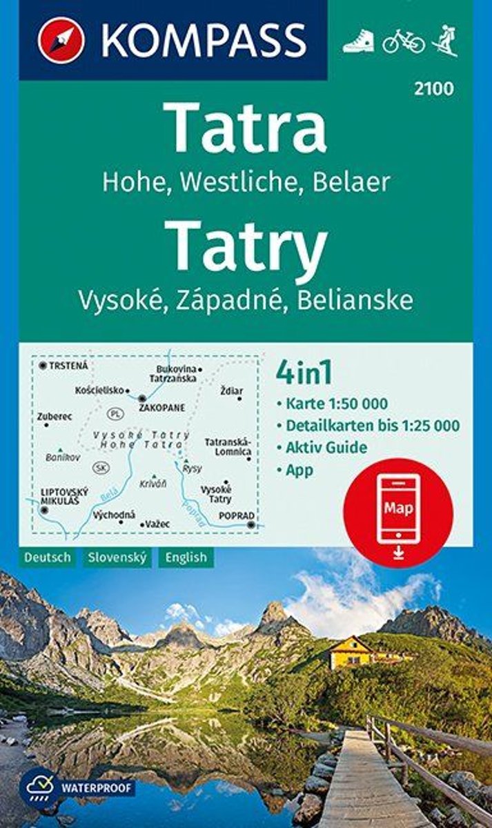
- Tatras High and Western - Belaer Kompass 2100
- One of the titles in a series of hiking maps of the Tatra Mountains and the adjoining areas of Slovakia, part of an extensive coverage of hiking areas of Central Europe from Kompass , the largest publishers of walking maps. The maps have shading and graphic relief, with contours at 40m intervals on the 1;50,000 maps and at 20m intervals in the... Read more
- Also available from:
- Bol.com, Netherlands
- Bol.com, Belgium
- De Zwerver, Netherlands
Netherlands
- Tatra, Hohe, Wesltiche, Belaer, Tatry, Vysoké, Západné, Belianske 1:50 000
- Een gedetailleerde kaart van de Hoge Tatra, ideaal voor het uitstippelen van wandel- en fietsroutes en om onderweg te gebruiken; goed leesbare kaart met heel veel topografische details; duidelijke symbolen maken de kaart extra overzichtelijk; wandel- en fietsroutes zijn aangegeven; praktische informatie over de regio; bruikbaar met GPS; nuttige... Read more
Belgium
- Tatra, Hohe, Wesltiche, Belaer, Tatry, Vysoké, Západné, Belianske 1:50 000
- Een gedetailleerde kaart van de Hoge Tatra, ideaal voor het uitstippelen van wandel- en fietsroutes en om onderweg te gebruiken; goed leesbare kaart met heel veel topografische details; duidelijke symbolen maken de kaart extra overzichtelijk; wandel- en fietsroutes zijn aangegeven; praktische informatie over de regio; bruikbaar met GPS; nuttige... Read more

Netherlands
- Wandelkaart 2100 Tatra - Tatry | Kompass
- One of the titles in a series of hiking maps of the Tatra Mountains and the adjoining areas of Slovakia, part of an extensive coverage of hiking areas of Central Europe from Kompass , the largest publishers of walking maps. The maps have shading and graphic relief, with contours at 40m intervals on the 1;50,000 maps and at 20m intervals in the... Read more