
Mercantour
Description

The Massif du Mercantour is the southernmost high Alpine region in France, bordering on Italy. The Italian part of the massif is called Alpi Marittimi. Highest summit is the Cime du Gélas, 3.143 m. This region is relatively remote and offers varied landscapes. With more sunshine, less snow, no glaciers, it makes a good hiking destination; the GR5 traverses the Mercantour from north to south. Maybe you encounter a wolf somewhere, if not chased by an angry shepherd!
Map

Trails in this region
Links
Facts
Reports
Guides and maps
Lodging
Organisations
Tour operators
GPS
Other
Books

Stanfords
United Kingdom
2017
United Kingdom
2017
- Le Parc national du Mercantour à pied PN18
- L`Aveyron à pied, FFRP topo-guide Ref. No.D012, with 50 day walks of varying length and difficulty throughout the department of Ayveron. Each walk is presented on a separate colour extract from IGN’s topographic survey of France at 1:25,000, with its description cross-referenced to the map. Current edition of this title was published in... Read more

Stanfords
United Kingdom
2015
United Kingdom
2015
- Eastern Provence: Côte d’Azur to the Alps Sunflower Landscape Guide
- This guide, half of a two-volume set, is intended for motorists who want to tour eastern Provence and the Cote d`Azur by car and enjoy some superb walks en route. The drives have been described in such detail that there is no need to make constant reference to a map. The walks selected - all set in areas of great natural beauty and historical... Read more

Stanfords
United Kingdom
2022
United Kingdom
2022
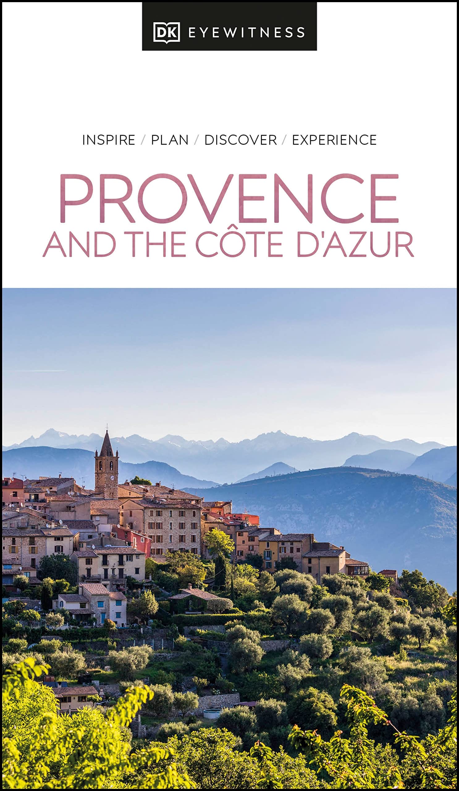
- DK Eyewitness Provence and the Cote d`Azur
- France`s most alluring region promises fragrant fields of lavender, incredible ancient relics and celebrated art collections.Whether you want to watch flocks of flamingos strutting across the wild wetlands of the Camargue, visit lush vineyards in the Rhone valley or simply soak up the sun in St-Tropez, your DK Eyewitness travel guide makes sure... Read more
- Also available from:
- De Zwerver, Netherlands
De Zwerver
Netherlands
2022
Netherlands
2022
- Reisgids Eyewitness Travel Provence and the Cote d'Azur | Dorling Kindersley
- France`s most alluring region promises fragrant fields of lavender, incredible ancient relics and celebrated art collections.Whether you want to watch flocks of flamingos strutting across the wild wetlands of the Camargue, visit lush vineyards in the Rhone valley or simply soak up the sun in St-Tropez, your DK Eyewitness travel guide makes sure... Read more

Stanfords
United Kingdom
United Kingdom
- Kettering, Corby, Market Harborough & Stamford OS Landranger Map 141 (paper)
- The area around Kettering, Corby, Market Harborough and Stamford, including Rockingham Forest and part of the E2 European Long-distance Path, on a paper version of map No. 141 from the Ordnance Survey’s Landranger series at 1:50,000, with contoured and GPS compatible topographic mapping plus tourist information.MOBILE DOWNLOADS: As well as the... Read more
- Also available from:
- De Zwerver, Netherlands


Stanfords
United Kingdom
2020
United Kingdom
2020
- La Traversee der Alpes La Vanoise - PN de la Vanoise GR5/GR55
- 15 days in altitude from the Tarentaise to Modane, heart of the Maurienne. Description also of Via Alpina.La Vanoise (including Parc National de la Vanoise), FFRP topoguide Ref. no. 530, covering the second section of the GR5 in the French Alps between Landry and Modane, its lower variant on the GR5E along the river Arc, plus the traverse of... Read more

Stanfords
United Kingdom
United Kingdom
- Cheltenham, Cirencester & Stow-on-the-Wold OS Landranger Active Map 163 (waterproof)
- Cheltenham and Cirencester area, including sections of the Thames Path, the Cotswold Way and the E2 European Long-distance Path, on a waterproof and tear-resistant OS Active version of map No. 163 from the Ordnance Survey’s Landranger series at 1:50,000, with contoured and GPS compatible topographic mapping plus tourist information.MOBILE... Read more

Stanfords
United Kingdom
United Kingdom
- Ely, Wisbech & Downham Market OS Landranger Active Map 143 (waterproof)
- Cambridgeshire around Ely, Wisbech and Downham Market, including part of the E2 European Long-distance Path, on a waterproof and tear-resistant OS Active version of map No. 143 from the Ordnance Survey’s Landranger series at 1:50,000, with contoured and GPS compatible topographic mapping plus tourist information.MOBILE DOWNLOADS: As well as the... Read more

Stanfords
United Kingdom
United Kingdom
- North York Moors Western OS Explorer Active Map OL26 (waterproof)
- The western part of the North York Moors National Park on a detailed topographic and GPS compatible map OL26, waterproof version, from the Ordnance Survey’s 1:25,000 Explorer series. Coverage extends from Ampleforth in the south northwards to Saltburn-by-the-Sea, and from Ingleby Arncliffe to Danby, Castleton and Hutton-le-Hole, and includes... Read more

Stanfords
United Kingdom
United Kingdom
- Oxford, Chipping Norton & Bicester OS Landranger Active Map 164 (waterproof)
- Oxford area, including sections of the Thames Path and the E2 European Long-distance Path, on a waterproof and tear-resistant OS Active version of map No. 164 from the Ordnance Survey’s Landranger series at 1:50,000, with contoured and GPS compatible topographic mapping plus tourist information.MOBILE DOWNLOADS: As well as the physical edition... Read more

Stanfords
United Kingdom
2014
United Kingdom
2014
- GR59/GR9/GRP: Tours et Traversées de l`Ain FFRP Topo-guide No. 901
- Tours et Traversées de l`Ain, FFRP topoguide, Ref. No. 901, covering in all 949km of hiking trails in the French Jura between Lons-le-Saunier and the confluence of the Ain and the Rhône, including sections of GR 5, 9 and 9A. Current edition of this title was published in June 2014.ABOUT THE FFRP (Fédération française de la randonnée pédestre)... Read more
- Also available from:
- De Zwerver, Netherlands

De Zwerver
Netherlands
2014
Netherlands
2014
- Wandelgids 901 Tours et traversées dans l'Ain GR9, GR9A, GR59 | FFRP
- Guide FFRandonnée Tours et Traversée dans l'ain. GR 59, 9, 9A. Etangs de la Dombes, monts et cluses du Revermont ou bocages de la Bresse. Plus de 50 jours de randonnée.Depuis les Monts du Jura, du Revermont ou du Bugey, ces itinéraires en boucle ou en ligne offrent aux randonneurs des vues imprenables. voici à l'est le Mont Blanc et les... Read more
Stanfords
United Kingdom
2021
United Kingdom
2021
- Tour de l`Oisans et des Ecrins - Parc National des Ecrins GR54/GR541
- Tour de l`Oisans et des Ecrins, FFRP topoguide, Ref. No. 508, covering the 11 to 13 days long tour of the Ecrins massif along the GR54, including the local section of the GR5. Variants along GRs 54A, 54B, 54C, and 541 offer less demanding circuits of two to three days. Current edition of this title was published in April 2014.To see other... Read more

Stanfords
United Kingdom
United Kingdom
- Stratford-upon-Avon, Warwick & Banbury OS Landranger Active Map 151 (waterproof)
- The area between Stratford-upon-Avon, Warwick and Banbury, including the northern part of the Cotswold Hills and part of the Cotswold Way / E2 European Long-distance Path, on a waterproof and tear-resistant OS Active version of map No. 151 from the Ordnance Survey’s Landranger series at 1:50,000, with contoured and GPS compatible topographic... Read more

Stanfords
United Kingdom
2019
United Kingdom
2019
- Du Léman à la Vanoise - par le Mont Blanc et le Beaufortain GR5
- The first, 206-km long Alpine section of the GR5 from Lake Geneva, past Mont Blanc and across the Col de la Croix-du-Bonhomme, to Landry north of the Vanoise Massif, FFRP topo-guide ref. no. 504, with colour maps from the IGN TOP25 series at 1:25,000. Also included is a tour of the Dents du Midi. Current edition of this title was published in... Read more

Stanfords
United Kingdom
United Kingdom
- Ipswich, The Naze & Clacton-on-Sea OS Landranger Active Map 169 (waterproof)
- Ipswich with Harwich and The Naze area, including part of the E2 European Long-distance Path, on a waterproof and tear-resistant OS Active version of map No. 169 from the Ordnance Survey’s Landranger series at 1:50,000, with contoured and GPS compatible topographic mapping plus tourist information.MOBILE DOWNLOADS: As well as the physical... Read more

Stanfords
United Kingdom
United Kingdom
- Cambridge, Newmarket & Saffron Walden OS Landranger Active Map 154 (waterproof)
- Parts of Cambridgeshire, Suffolk and Essex with Cambridge, Newmarket and Saffron Walden, including part of the E2 European Long-distance path, on a waterproof and tear-resistant OS Active version of map No. 154 from the Ordnance Survey’s Landranger series at 1:50,000, with contoured and GPS compatible topographic mapping plus tourist... Read more
Maps

- Also available from:
- De Zwerver, Netherlands

Stanfords
United Kingdom
United Kingdom
- Luxembourg South
- One of two topographic survey maps of Luxembourg at 1:50,000, with contours at 10-metres intervals and additional relief shading. An overprint highlights long-distance footpaths, including the GR5 (E-2), cycle routes, and various places of interest, including campsites. The map covers an area of approximately 53 x 43 km / 33 x 27 miles. Map... Read more

Stanfords
United Kingdom
United Kingdom
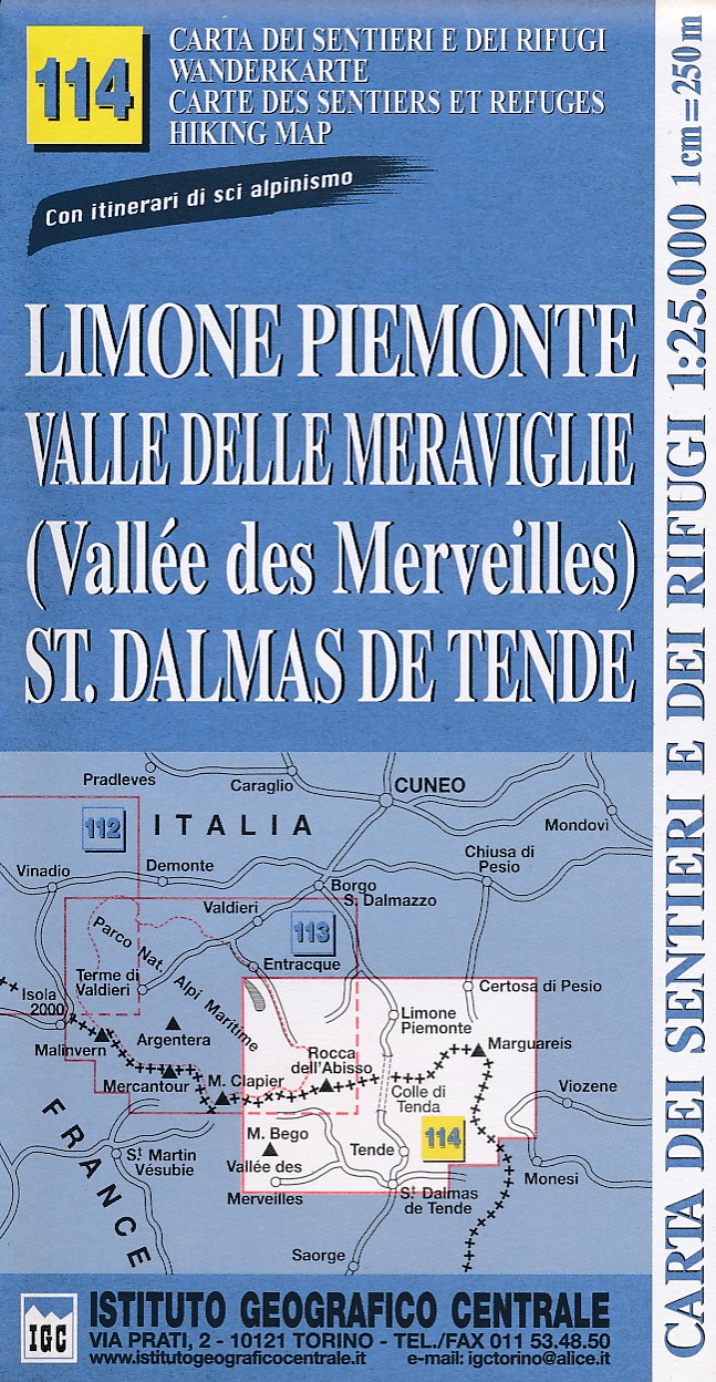
- Limone Piemonte - Vallée des Merveilles 25K IGC Map No. 114
- Limone Piemonte - Vallée des Merveilles area at 1:25,000 in a series of contoured, GPS compatible walking maps from the Turin based Istituto Geografico Centrale, highlighting hiking trails including long-distance routes, ski routes and alpine accommodation. Maps in this series have contours at 25m intervals, enhanced by shading and graphic... Read more
- Also available from:
- De Zwerver, Netherlands
De Zwerver
Netherlands
Netherlands
- Wandelkaart 114 Limone Piemonte, Valle Delle Meraviglie, St. Dalmas De Tende | IGC - Istituto Geografico Centrale
- IGC Italien Wanderkarten 1 : 25 000. Neuauflage. Read more

Stanfords
United Kingdom
United Kingdom
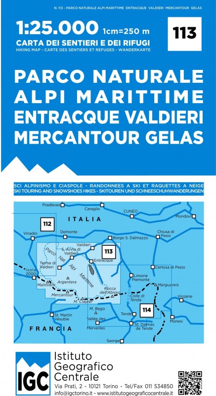
- Maritime Alps Natural Park - Entracque - Valdieri - Mercantour - Gelas IGC 113
- Argentera Regional Park - Entracque - Valdieri area at 1:25,000 in a series of contoured, GPS compatible walking maps from the Turin based Istituto Geografico Centrale, highlighting hiking trails including long-distance routes, ski routes and alpine accommodation. Maps in this series have contours at 25m intervals, enhanced by shading and... Read more
- Also available from:
- De Zwerver, Netherlands

Stanfords
United Kingdom
2014
United Kingdom
2014
- Mercantour & Alpi-Marittime Didier Richard 07
- Mercantour National Park and the Maritime Alps on a large, double-sided, contoured and GPS compatible map from Editions Didier Richard highlighting local walking trails and long-distance hiking routes including the GR5. Coverage extends from well north of Col de Larch to Sospel, Levens and Roquestéron in the mountains north of the French... Read more
- Also available from:
- De Zwerver, Netherlands

De Zwerver
Netherlands
2014
Netherlands
2014
- Wandelkaart 07 Mercantour & Alpi-Maritieme | Didier Richard
- Mercantour National Park and the Maritime Alps on a large, double-sided, contoured and GPS compatible map from Editions Didier Richard highlighting local walking trails and long-distance hiking routes including the GR5. Coverage extends from well north of Col de Larch to Sospel, Levens and Roquestéron in the mountains north of the French... Read more

Stanfords
United Kingdom
2016
United Kingdom
2016
- Vanoise National Park - Beaufortain Didier Richard 04
- Vanoise National Park and the Beaufortain Massif in the French Alps at 1:60,000 on a contoured and GPS compatible map from Didier Richard with a base derived from IGN’s topographic survey, highlighting both local hiking routes and the GR network of long-distance paths, gîtes and mountain refuges, interesting natural and cultural sites, etc. The... Read more
- Also available from:
- De Zwerver, Netherlands

De Zwerver
Netherlands
2016
Netherlands
2016
- Wandelkaart 04 Vanoise - Beaufortain | Didier Richard
- Vanoise National Park and the Beaufortain Massif in the French Alps at 1:60,000 on a contoured and GPS compatible map from Didier Richard with a base derived from IGN Read more

Stanfords
United Kingdom
United Kingdom
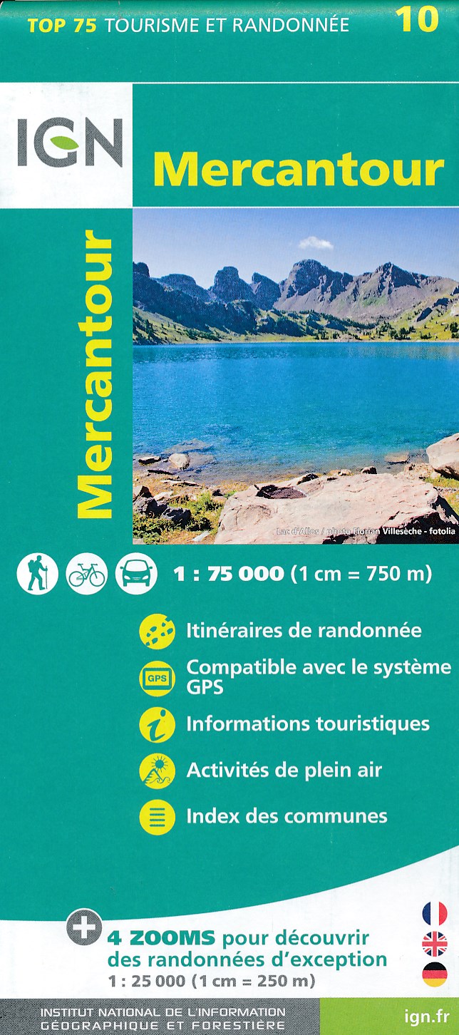
- Mercantour IGN 75010
- IGN TOP 75 Topographic map of the Mercantour at 1:75,000 scale. This detailed map covers the Mercantour National Park, from Barcelonette to Villars-sur-Var from north to south. Contour lines, detailed legend and indication of hiking trails. Index of cities. This map includes 5 zooms in scale 1:25 000 to discover exceptional excursions (Vallée... Read more
- Also available from:
- De Zwerver, Netherlands
De Zwerver
Netherlands
Netherlands
- Fietskaart - Wandelkaart 10 Mercantour | IGN - Institut Géographique National
- IGN TOP 75 Topographic map of the Mercantour at 1:75,000 scale. This detailed map covers the Mercantour National Park, from Barcelonette to Villars-sur-Var from north to south. Contour lines, detailed legend and indication of hiking trails. Index of cities. This map includes 5 zooms in scale 1:25 000 to discover exceptional excursions (Vallée... Read more

Stanfords
United Kingdom
United Kingdom
- Greoux-les-Bains - PNR du Verdon IGN 3343OT
- Topographic survey of France at 1:25,000 in IGN`s excellent TOP25 / Série Bleue series. All the maps are GPS compatible, with a 1km UTM grid plus latitude and longitude lines at 5’ intervals. Contours are at 5m intervals except for mountainous areas where the maps have contours at 10m intervals, vividly enhanced by hill shading and graphics for... Read more

Stanfords
United Kingdom
United Kingdom
- Autour du Thabor: Modane - Bardonecchia - Briançon
- Mont Thabor area at 1:50,000 on a contoured and GPS compatible map from Editions Didier Richard in their series of walking maps of French Alps and other popular hiking regions of south-eastern France. Coverage extends from Modane in the north to Briançon in the south-east, and west to Valloire.The base map with cartography from the IGN has... Read more

Stanfords
United Kingdom
United Kingdom
- Vallee de la Roya - PN du Mercantour IGN 3841OT
- Topographic survey of France at 1:25,000 in IGN`s excellent TOP25 / Série Bleue series. All the maps are GPS compatible, with a 1km UTM grid plus latitude and longitude lines at 5’ intervals. Contours are at 5m intervals except for mountainous areas where the maps have contours at 10m intervals, vividly enhanced by hill shading and graphics for... Read more

Stanfords
United Kingdom
United Kingdom
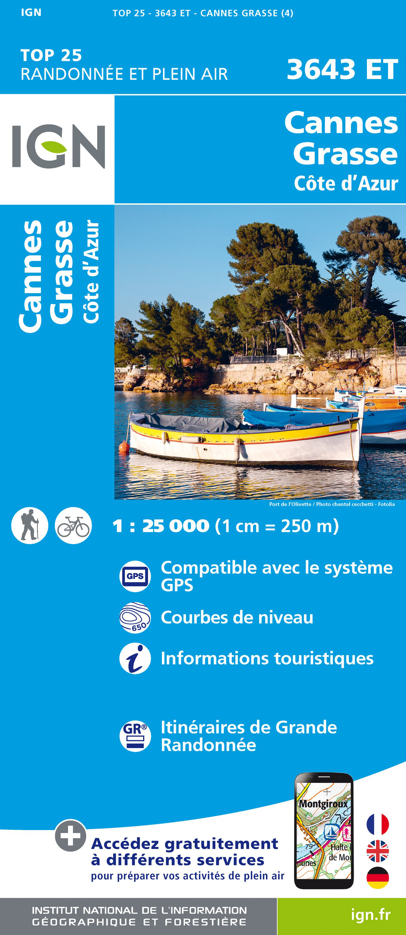
- Cannes - Grasse - Cote d`Azur IGN 3643ET
- Topographic survey of France at 1:25,000 in IGN`s excellent TOP25 / Série Bleue series. All the maps are GPS compatible, with a 1km UTM grid plus latitude and longitude lines at 5’ intervals. Contours are at 5m intervals except for mountainous areas where the maps have contours at 10m intervals, vividly enhanced by hill shading and graphics for... Read more
- Also available from:
- De Zwerver, Netherlands
De Zwerver
Netherlands
Netherlands
- Wandelkaart - Topografische kaart 3643ET Cannes - Grasse | IGN - Institut Géographique National
- De wandelkaart die de perfectie benadert! Werkelijk alle topografische details zijn er op te vinden; van hoogtelijnen tot aan bruggetjes en allerlei wandelpaden. Daarnaast hebben de makers een flinke dosis toeristische informatie op de kaart verwerkt: campings, gites d étape; restaurants en ingetekende doorgaande wandelpaden, de grandes... Read more

Stanfords
United Kingdom
United Kingdom
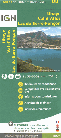
- Ubaye - Val d`Allos - Lac de Serre-Ponçon IGN 75008
- Ubaye - Val d`Allos - Lac de Serre-Ponçon region in a series of GPS compatible, contoured TOP 75 maps at 1:75,000 from the IGN, highlighting local and long-distance hiking paths, cycling routes and sites for other recreational activities. The map includes five large panels showing the areas around Petite Epervière, Grande Séolane, Aiguilles de... Read more
- Also available from:
- De Zwerver, Netherlands
De Zwerver
Netherlands
Netherlands
- Fietskaart - Wandelkaart 08 Ubaye, Val d'Allos, Lac de Serre-Poncon | IGN - Institut Géographique National
- Une carte générale de très grande lisibilité au 1/75 000 + 5 extraits de TOP25 au 1/25 000 en une seule carte ! Read more

Stanfords
United Kingdom
United Kingdom
- Maritime and Ligurian Alps IGC 8
- A cross-border area of the Maritime and Ligurian Alps at 1:50,000, with coverage on the Italian side including Limone, Alpi Maritime PN and Alta Valle Pesio e Tanaro PN, plus in France Tende, Vallée des Merveilles and Saorge, in a series contoured hiking maps with local trails, long-distance footpaths, mountain accommodation, etc. from the... Read more
- Also available from:
- De Zwerver, Netherlands

De Zwerver
Netherlands
Netherlands
- Wandelkaart 08 Alpi marittime e Liguri | IGC - Istituto Geografico Centrale
- A cross-border area of the Maritime and Ligurian Alps at 1:50,000, with coverage on the Italian side including Limone, Alpi Maritime PN and Alta Valle Pesio e Tanaro PN, plus in France Tende, Vallée des Merveilles and Saorge, in a series contoured hiking maps with local trails, long-distance footpaths, mountain accommodation, etc. from the... Read more

Stanfords
United Kingdom
United Kingdom
- Dignes-les-Bains - La Javie - Vallee de la Bleone IGN 3440ET
- Topographic survey of France at 1:25,000 in IGN`s excellent TOP25 / Série Bleue series. All the maps are GPS compatible, with a 1km UTM grid plus latitude and longitude lines at 5’ intervals. Contours are at 5m intervals except for mountainous areas where the maps have contours at 10m intervals, vividly enhanced by hill shading and graphics for... Read more

Stanfords
United Kingdom
United Kingdom
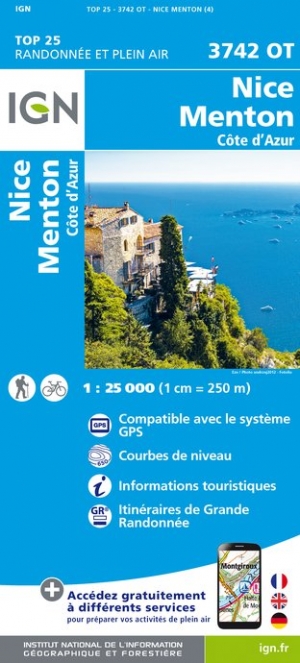
- Nice - Menton - Cote d`Azur IGN 3742OT
- Topographic survey of France at 1:25,000 in IGN`s excellent TOP25 / Série Bleue series. All the maps are GPS compatible, with a 1km UTM grid plus latitude and longitude lines at 5’ intervals. Contours are at 5m intervals except for mountainous areas where the maps have contours at 10m intervals, vividly enhanced by hill shading and graphics for... Read more
- Also available from:
- De Zwerver, Netherlands
De Zwerver
Netherlands
Netherlands
- Wandelkaart - Topografische kaart 3742OT Nice - Menton | IGN - Institut Géographique National
- Wandelkaart - Topografische kaart 3742OT 3742 OT Nice, Menton, Côte d'Azur; Monaco, L'Escarène; La Turbie | IGN De wandelkaart die de perfectie benadert! Werkelijk alle topografische details zijn er op te vinden; van hoogtelijnen tot aan bruggetjes en allerlei wandelpaden. Daarnaast hebben de makers een flinke dosis toeristische informatie op... Read more