
Vanoise
Description

The Vanoise is a beloved Alpine region in France, south of the Mont Blanc massif. The area has an abundant nature, and counts many glaciers. Parts of the area are destroyed by popular mega ski resorts like Les Arcs. We will be confronted with the destruction when walking the GR55 - E2 - GR5. On the Italian side lies Gran Paradiso, maybe even more beautiful.
Map

Trails in this region
Links
Facts
Reports
Guides and maps
Lodging
Organisations
Tour operators
GPS
Other
Books

Stanfords
United Kingdom
United Kingdom
- North York Moors Western OS Explorer Active Map OL26 (waterproof)
- The western part of the North York Moors National Park on a detailed topographic and GPS compatible map OL26, waterproof version, from the Ordnance Survey’s 1:25,000 Explorer series. Coverage extends from Ampleforth in the south northwards to Saltburn-by-the-Sea, and from Ingleby Arncliffe to Danby, Castleton and Hutton-le-Hole, and includes... Read more

- Also available from:
- De Zwerver, Netherlands


- Also available from:
- De Zwerver, Netherlands


- Also available from:
- De Zwerver, Netherlands


- Also available from:
- De Zwerver, Netherlands


Stanfords
United Kingdom
2014
United Kingdom
2014
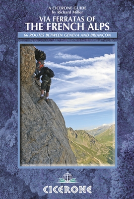
- French Alps - Via Ferratas - 66 Routes Between Geneva and Briançon
- Via Ferratas of the French Alps by Cicerone covers 66 varied routes across six areas: Geneva and the Northern Alps, Chambéry, Tarentaise and Maurienne valleys, Grenoble and Briançon, amid the Mont Blanc, Vanoise and Queyras ranges. Difficulty ranges from easy, protected routes through to exposed, technical challenges. The routes in this... Read more
- Also available from:
- The Book Depository, United Kingdom
- De Zwerver, Netherlands

The Book Depository
United Kingdom
2014
United Kingdom
2014
- Via Ferratas of the French Alps
- 66 routes between Geneva and Briancon Read more
De Zwerver
Netherlands
2014
Netherlands
2014
- Wandelgids - Klimgids - Klettersteiggids Via Ferratas of the French Alps | Cicerone
- This guidebook covers 66 varied via ferratas in the French Alps. The routes are spread over six areas: Geneva and the Northern Alps, Chambéry, Tarentaise and Maurienne valleys, Grenoble and Briançon, amid the Mont Blanc, Vanoise and Queyras ranges. Difficulty ranges from easy, protected routes through to exposed, technical challenges. Read more

- Also available from:
- De Zwerver, Netherlands


- Also available from:
- De Zwerver, Netherlands

De Zwerver
Netherlands
2021
Netherlands
2021

- Also available from:
- De Zwerver, Netherlands


- Also available from:
- De Zwerver, Netherlands


Stanfords
United Kingdom
United Kingdom
- Cheviot Hills - Jedburgh & Wooler OS Explorer Map OL16 (paper)
- The Cheviot Hills on a detailed topographic and GPS compatible map OL16, paper version, from the Ordnance Survey’s 1:25,000 Explorer series. Coverage includes Jedburgh, Woolmer, part of the Northumberland National Park, the peaks of The Cheviot, Corby Pike, Cold Law, Scrathy Holes and Windy Gyle, Catcleugh Reservoir, sections of the Pennine Way... Read more
- Also available from:
- The Book Depository, United Kingdom
- De Zwerver, Netherlands


De Zwerver
Netherlands
Netherlands
More books…

Maps

Stanfords
United Kingdom
United Kingdom
- Luxembourg North
- One of two topographic survey maps of Luxembourg at 1:50,000, with contours at 10-metres intervals and additional relief shading. An overprint highlights long-distance footpaths, including the GR5 (E-2), cycle routes, and various places of interest, including campsites. The map covers an area of approximately 53 x 43 km / 33 x 27 miles. Map... Read more

Stanfords
United Kingdom
United Kingdom
- Luxembourg South
- One of two topographic survey maps of Luxembourg at 1:50,000, with contours at 10-metres intervals and additional relief shading. An overprint highlights long-distance footpaths, including the GR5 (E-2), cycle routes, and various places of interest, including campsites. The map covers an area of approximately 53 x 43 km / 33 x 27 miles. Map... Read more

- Also available from:
- De Zwerver, Netherlands


The Book Depository
United Kingdom
United Kingdom
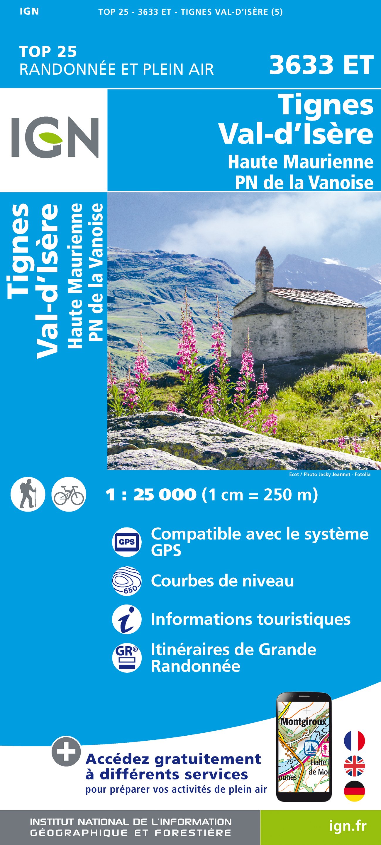
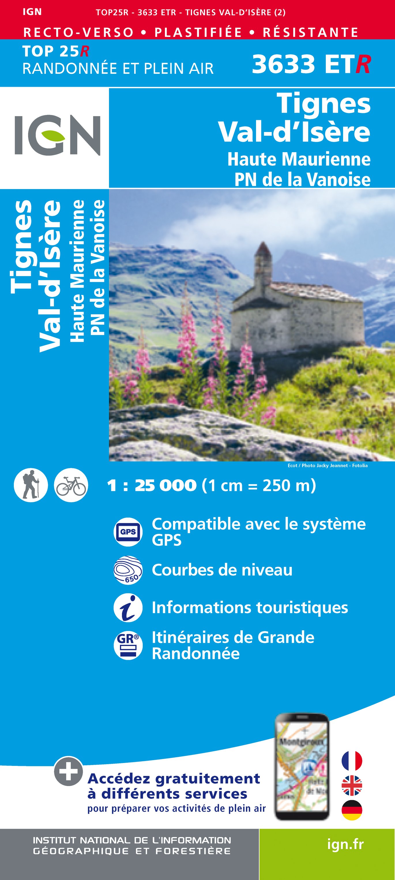
- Tignes / Val d'Isere / Haute Maurienne
- De wandelkaart die de perfectie benadert! Werkelijk alle topografische details zijn er op te vinden; van hoogtelijnen tot aan bruggetjes en allerlei wandelpaden. Daarnaast hebben de makers een flinke dosis toeristische informatie op de kaart verwerkt: campings, gites d étape; restaurants en ingetekende doorgaande wandelpaden, de grandes... Read more
- Also available from:
- De Zwerver, Netherlands
De Zwerver
Netherlands
Netherlands
- Wandelkaart - Topografische kaart 3633ET Tignes - Val d'Isère | IGN - Institut Géographique National
- De wandelkaart die de perfectie benadert! Werkelijk alle topografische details zijn er op te vinden; van hoogtelijnen tot aan bruggetjes en allerlei wandelpaden. Daarnaast hebben de makers een flinke dosis toeristische informatie op de kaart verwerkt: campings, gites d étape; restaurants en ingetekende doorgaande wandelpaden, de grandes... Read more

- Also available from:
- De Zwerver, Netherlands

- Also available from:
- De Zwerver, Netherlands

De Zwerver
Netherlands
Netherlands
- Wandelkaart 07 Outdoorkarte FR Elsass, Vogesen - Alsace, Strasbourg Elzas - Vogezen | Kümmerly & Frey
- The central part of Alsace around Strasbourg and Saverne on a GPS compatible, double-sided map at 1:50,000 from K Read more

The Book Depository
United Kingdom
United Kingdom
- La Palma Hiking + Leisure Map 1:30 000
- Uitstekende wandelkaart van La Palma, tweezijdig, met ingetekende routes, hoogtelijnen en andere belangrijke informatie. Ook met fietsroutes, bovendien GPS geschikt! Read more
- Also available from:
- Bol.com, Netherlands
- Bol.com, Belgium
- De Zwerver, Netherlands

Bol.com
Netherlands
Netherlands
- FB WKE2 La Palma
- Dubbelzijdige wandel- en vrijetijdskaart • toeristische tips • stadsplattegronden • fietspaden en mountainbikeroutes • GPS-punten • ski- en langlaufroutes Read more
Bol.com
Belgium
Belgium
- FB WKE2 La Palma
- Dubbelzijdige wandel- en vrijetijdskaart • toeristische tips • stadsplattegronden • fietspaden en mountainbikeroutes • GPS-punten • ski- en langlaufroutes Read more

De Zwerver
Netherlands
Netherlands
- Wandelkaart WKE2 La Palma | Freytag & Berndt
- Uitstekende wandelkaart van La Palma, tweezijdig, met ingetekende routes, hoogtelijnen en andere belangrijke informatie. Ook met fietsroutes, bovendien GPS geschikt! Read more


De Zwerver
Netherlands
2016
Netherlands
2016
- Wandelkaart 04 Vanoise - Beaufortain | Didier Richard
- Vanoise National Park and the Beaufortain Massif in the French Alps at 1:60,000 on a contoured and GPS compatible map from Didier Richard with a base derived from IGN Read more

De Zwerver
Netherlands
Netherlands
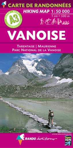
- Wandelkaart A3 Vanoise | Rando Editions
- Uitstekende wandelkaart van Parc National de la Vanoise, Tarentaise en Maurienne. Hoogtelijnen, ingetekende wandelroutes, accommodaties en topografische details. (Frankrijk - Alpen) Read more
De Zwerver
Netherlands
Netherlands
- Wandelkaart - Topografische kaart 3633ETR Tignes - Val d'Isère | IGN - Institut Géographique National
- Geplastificeerde versie! De wandelkaart die de perfectie benadert! Werkelijk alle topografische details zijn er op te vinden; van hoogtelijnen tot aan bruggetjes en allerlei wandelpaden. Daarnaast hebben de makers een flinke dosis toeristische informatie op de kaart verwerkt: campings, gites d étape; restaurants en ingetekende doorgaande... Read more

More maps…
