Santo Antão
Description
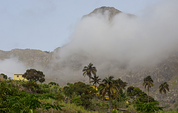
Santo Antão is the second largest of the Cape Verdean Islands. It is very mountainous and entirely of volcanic origin. The Topo de Coroa is a 1.979 m high volcano, the second highest in Cape Verde. Most of the island is arid, but the northwest receives some rain. Only 47.000 people live on the island, mostly in some coastal villages, and some hamlets and isolated farms scattered over the island. The inhabitants make a living from the sea and grow tropical agricultural products.
Santo Antão is one of the best Cape Verdean islands for walking and considered a paradise for the adventurous hiker. Many walks can be made in the impressive mountainous interior or along the coast. The eroded valleys in the interior are accessible by road. The Topo de Coroa, 1.585 m high, is accessible by road and trails, and offers good views. The volcano Topo de Coroa lies rather isolated but can be climbed easily. It rises steeply out of the ocean.
Links
Facts
Reports
Guides and maps
Lodging
Organisations
Tour operators
GPS
Other
Books
Netherlands
2018
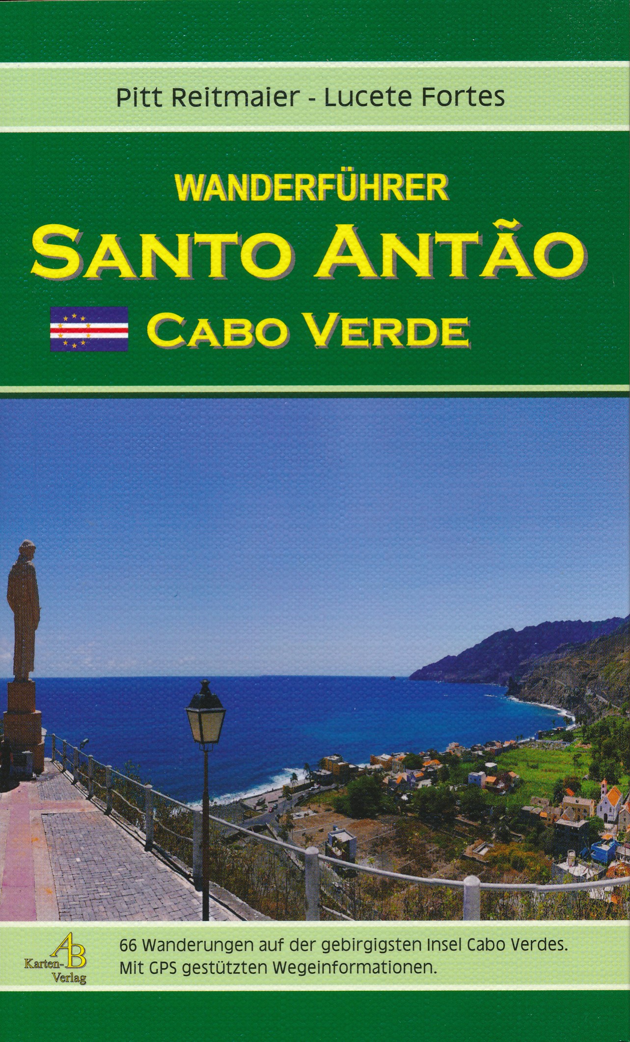
- Wandelgids Wanderführer Santo Antão (Cabo Verde) | AB Kartenverlag
- Handzaam wandelgidsje van het prachtige wandeleiland Santo Antao met beperkt kaart materiaal. Ilha das Montanhas – Eine Wanderinsel mit faszinierender Kultur und Geschichte 66 Wandervorschläge durch subtropische Täler; entlang wilder Küsten und über vulkanisches Hochland mit GPS-genauen Wegeinformationen 175 Farbfotos 37 Kartenausschnitte Read more
Netherlands
2013
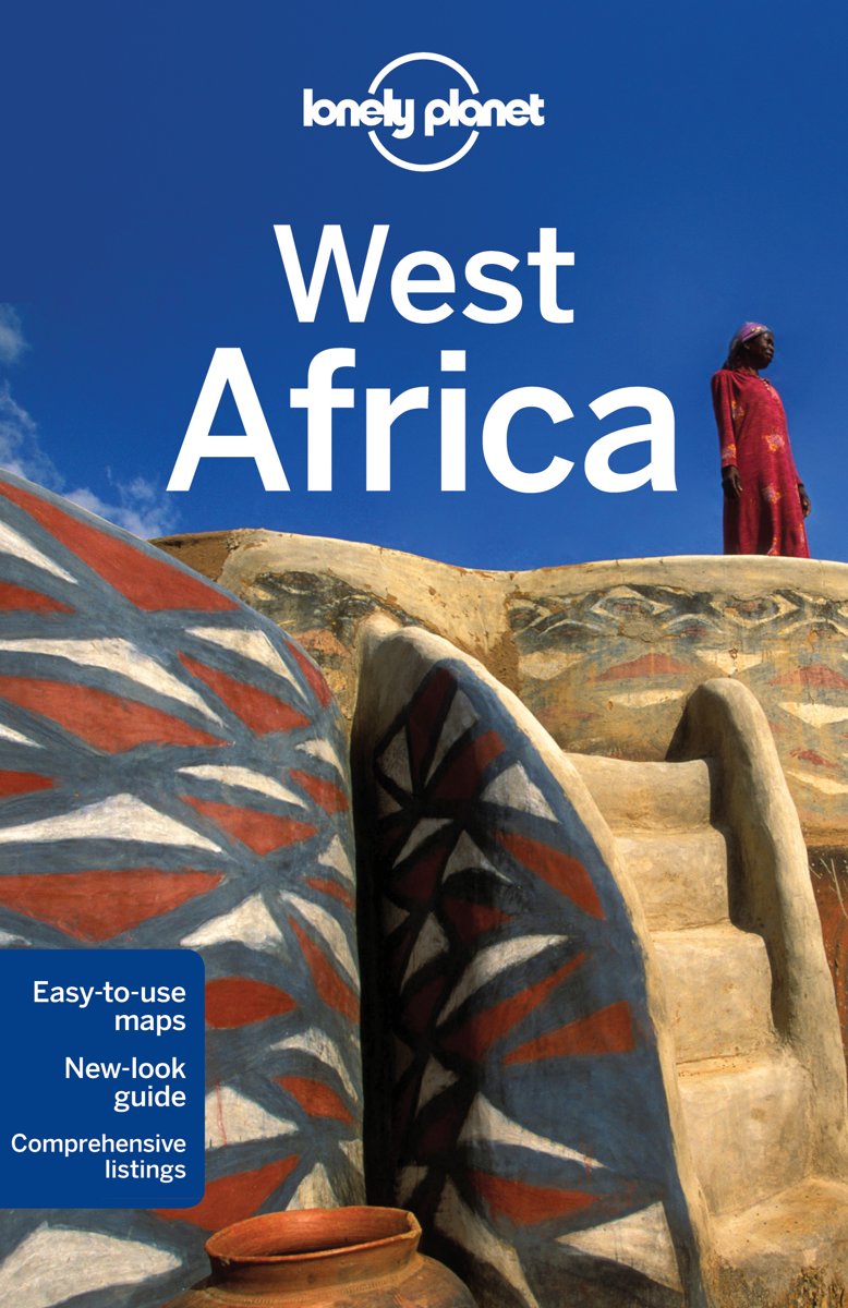
- Lonely Planet West Africa
- Lonely Planet West Africa is your passport to all the most relevant and up-to-date advice on what to see, what to skip, and what hidden discoveries await you. Experience the culture of Dakar or Marrakesh, visit the gorges and oases of the Sahara, or hike to paradise on Santo Antao in Cape Verde; all with your trusted travel companion. Get to... Read more
- Also available from:
- Bol.com, Belgium

Belgium
2013
- Lonely Planet West Africa
- Lonely Planet West Africa is your passport to all the most relevant and up-to-date advice on what to see, what to skip, and what hidden discoveries await you. Experience the culture of Dakar or Marrakesh, visit the gorges and oases of the Sahara, or hike to paradise on Santo Antao in Cape Verde; all with your trusted travel companion. Get to... Read more
Maps

United Kingdom
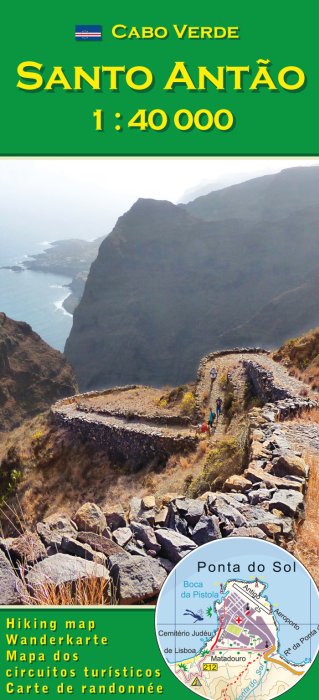
- Santo Antão AB Kartenverlag Hiking Map
- Santo Antão in the Cape Verde archipelago on a detailed, GPS compatible, contoured map at 1:50,000 from AB Kartenverlag highlighting over 50 hiking routes, with street plans of central Porto Novo and Ribeira Grande.The map has contours at 100m intervals, spot heights and elevation colouring enhanced by relief shading to present the topography.... Read more

United Kingdom
- E4 Arquipelago de Cabo Verde
- Plans included:Porto Novo (Ilha de Santo Antão) (1:10 000)Mindelo (Porto Grande) (Ilha de São Vicente) (1:20 000)Ilha de Santa Luzia (1:not known)Porto de Tarrafal (Ilha de São Nicolau) (1:8500)Porto da Preguiça (Ilha de São Nicolau) (1:8500)Baía da Palmeira (Ilha do Sal) (1:15 000)Porto de Sal-Rei (Ilha da Boavista) (1:30 000)Porto da Praia... Read more


