Cape Verde
Description

Cape Verde is an island country in the Atlantic, about 500 km off the coast of West-African Senegal. As a country it is relatively young, having gained independence from Portugal only in 1975. It consists of 6 windward islands ((Santo Antão, São Vicente, Santa Luzia, São Nicolau, Sal, and Boa Vista) and 4 leeward islands (Maio, Santiago, Fogo, and Brava), all of volcanic origin and relatively arid with rainfall (if any) only from August until October. It’s greenest between september and january. Santiago is the largest Island, Mt Pico (2829 m) on Fogo Island is an active volcano and Cape Verde's highest peak. Not all islands are equally mountainous, and some are outright deserts.
The island group can be compared with the Canarian Islands, also dry and volcanic, but they are smaller, more the size of the Azores.
Most popular for hiking are the islands of Santiago, Fogo, Santo Antão, São Nicolau and São Vicente. Landscape, fishing villages, tropical vegetation combined with bizarre rock formations, it all adds to an exotic walking experience. Moreover, tourism has brought facilities, also inland, and cheap package holidays bring the islands within reach for everyone. Trails are sometimes marked, and it is possible to hire a guide locally. Hiking maps and trail descriptions are available.
Barlavento Islands
- Santo Antão, 779 km2, 47.000 inhabitants, mountainous, exotic, walkers paradise
- Boa Vista, 620 km2, 5.000 inhabitants, flat semi-desert inland for the adventurous hiker
- São Nicolau, 338 km2, 13.000 inhabitants, marked trails around exotic Monte Gordo
- São Vicente, 227 km2, 83.000 inhabitants, dry and eroded
- Sal, 216 km2, 25.000 inhabitants, semi-desert and unique salt ponds
Sotavento Islands
- São Tiago, Santiago, 991 km2, 290.000 inhabitants, mountainous and green interior, good for hiking
- Fogo, 476 km2, 39.000 inhabitants, climb the active volcano and enjoy the local coffee and wine
- Maio, 269 km2, 8.000 inhabitants, flat and dry but pretty, and good for hiking
- Brava, 67 km2, 6.000 inhabitants, green, rugged interior, and undiscovered by mass tourism
Regions
Mountains
Links
Facts
Reports
Guides and maps
Lodging
Organisations
Tour operators
GPS
Other
Books
Netherlands
2018
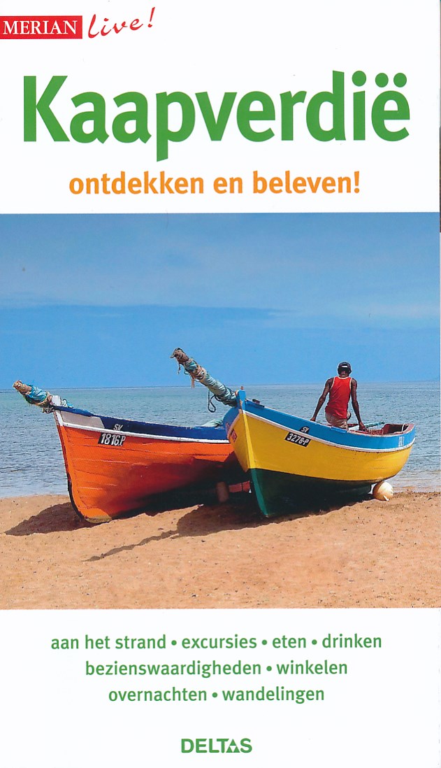
- Reisgids Merian live Kaapverdië - Kaapverdische Eilanden | Deltas
- Leuke handzame reisgids met een beschrijving van alle bezienswaardigheden; vrij veel praktische tips als het gaat om bijv. Accommodatie of restaurants. Met uitklapkaart. Goed voor een eerste kennismaking met het land. Read more

Netherlands
2022
Netherlands
2010
- Reisgids Kaapverdische Eilanden - Kapverdische Inseln- Reiseführer | Unterwegs Verlag
- Ein Reisehandbuch für Individualisten mit praktischen, aktuellen Tipps, zahlreichen Sport- und Spaßideen und vor allem auch Informationen zum Geldsparen. Das Reiseziel wird durch hintergründige Reportagen und klaren Fakten vorgestellt. Top-Surfsports, idyllische Buchten, lange Sandstrände; Fahrrad- und Wanderstrecken, tolle Restaurants,... Read more

Netherlands
2017
- Reisgids Cape Verde Islands - Kaapverdische Eilanden | Bradt Travel Guides
- Als er geen Lonely Planet is, is dit het alternatief ... En vaak nog beter ook. De beste gids over de Kaapverdische eilanden met alle mogelijke informatie, zowel praktisch (eten, slapen, reizen) als achtergronden over cultuur, landschap en bevolking. Adrift in the Atlantic Ocean, one of the attractions of the Cape Verde islands is the... Read more
Netherlands
2024
Netherlands
2018
- Reisgids Cabo Verde Kapverdische Inseln - Kaapverdische Eilanden | Reise Know-How Verlag
- Uitstekende - meest uitgebreide - reisgids van de Kaapverdische Eilanden. Hoge kwaliteit, veel kaartjes en praktische informatie. Duits, 612 (!) bladzijden. Die neun Kapverdischen Inseln Sal, Boa Vista, Maio, Santiago, Fogo, Brava, São Vicente, Santo Antão und São Nicolau begeistern Reisende mit ihrer Vielfalt. Jede der Inseln, 570 Kilometer... Read more
Netherlands
2024
Netherlands
2019
Netherlands
2020

Maps
Netherlands
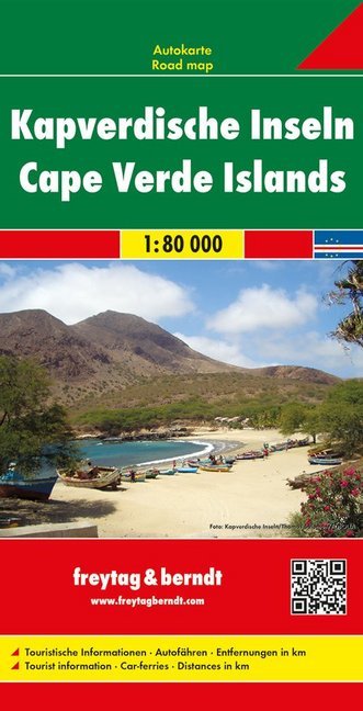
- Wegenkaart - landkaart Kaapverdische Eilanden - Cabo Verde | Freytag & Berndt
- Kapverdische Inseln 1 : 80 000 ab 10.9 EURO Mit touristischen Informationen, Autofähren und Wanderwegen Freytag & Berndt Autokarte Read more
Netherlands
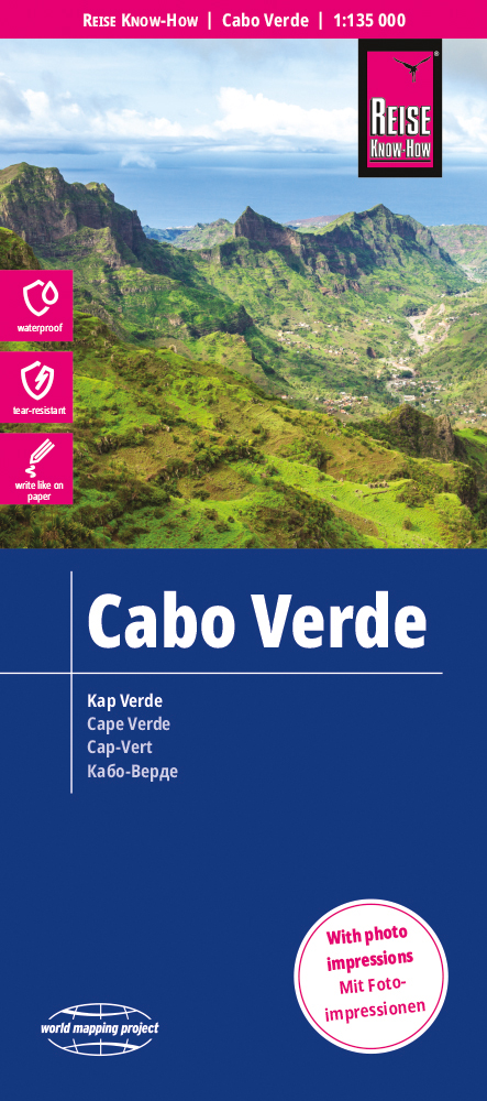
- Wegenkaart - landkaart Kaapverdische Eilanden - Cabo Verde | Reise Know-How Verlag
- Reise Know-How Landkarte Cabo Verde 1:135.000 ab 9.95 EURO Legende viersprachig World Mapping Project Reise Know-How. 4. Auflage Read more