Morocco
Description

The Kingdom of Morocco is a largely mountainous country, bordering on both the Mediterranean and the Atlantic.
Most famous mountain range are the Atlas Mountains, which Morocco shares with Algeria and Tunisia. The Atlas run like a backbone across the country from northeast to southwest, and are home to Morocco's highest mountain Jbel Toubkal (4167 m). Starting from the northeast, the Atlas Mountains are sub-divided into Middle Atlas, High Atlas and Anti-Atlas.
A second important mountain range are the Rif Mountains in the north of Morocco, bordering on the Mediterranean. It has interesting rock formations and gorges, and highest peak is Jbel Tidiquin (2448 m).
Hiking is popular in Morocco, and treks are possible in both the Atlas and Rif mountain ranges, staying overnight in huts (refuges), camping in tents and staying at rural homes. Best season for trekking in the mountains is April to October.
Regions
Mountains
Links
Facts
Reports
Guides and maps
Lodging
Organisations
Tour operators
GPS
Other
Books
Netherlands
2016
- Rough Guide - Morocco
- The Rough Guide to Morocco is the ultimate travel guide to this beguiling country and includes all the details you need to explore Morocco at your own pace.The Rough Guide to Morocco gives you the lowdown on how to get where you're going, where to stay when you get there, and the best places to eat, drink, and hang out, whether you are... Read more
- Also available from:
- Bol.com, Belgium
Belgium
2016
- Rough Guide - Morocco
- The Rough Guide to Morocco is the ultimate travel guide to this beguiling country and includes all the details you need to explore Morocco at your own pace.The Rough Guide to Morocco gives you the lowdown on how to get where you're going, where to stay when you get there, and the best places to eat, drink, and hang out, whether you are... Read more
Netherlands
- An African Adventure Atlas
- This text divides the African continent into 15 geographical regions which are introduced over 30 pages and serve to lead the reader into the sections of the atlas, comprising National Parks, town plans and adventure activities. For ease of reference, colour-coded "tabs" clearly identify the different secitons, which include: Morocco and the... Read more
- Also available from:
- Bol.com, Belgium
Belgium
- An African Adventure Atlas
- This text divides the African continent into 15 geographical regions which are introduced over 30 pages and serve to lead the reader into the sections of the atlas, comprising National Parks, town plans and adventure activities. For ease of reference, colour-coded "tabs" clearly identify the different secitons, which include: Morocco and the... Read more
Netherlands
Netherlands
2016
- time to momo - Marrakech
- Dit is de vernieuwde versie van de 100% Marrakech-gids! Jij gaat Marrakech ontdekken! Deze exotische stad, waar de bruisende levendigheid van de Arabische soeks wat wordt getemperd door het zwoele Afrikaanse ritme, prikkelt al je zintuigen. Kom shoppen in een van de achtduizend winkeltjes in de soeks van de medina. Eet met de locals bij een... Read more
- Also available from:
- Bol.com, Belgium
Belgium
2016
- time to momo - Marrakech
- Dit is de vernieuwde versie van de 100% Marrakech-gids! Jij gaat Marrakech ontdekken! Deze exotische stad, waar de bruisende levendigheid van de Arabische soeks wat wordt getemperd door het zwoele Afrikaanse ritme, prikkelt al je zintuigen. Kom shoppen in een van de achtduizend winkeltjes in de soeks van de medina. Eet met de locals bij een... Read more
Netherlands
- Lonely Planet Morocco
- This guide is the ideal companion for your trip through exotic Morocco where you can meander through medieval medinas, cool down on the coast, bask in Berber hospitality or chase the dramatic Sahara sands. Covers architecture, arts and crafts, trekking in Morocco's unique mountains and the cheapest to the most luxurious. Read more
- Also available from:
- Bol.com, Belgium
Belgium
- Lonely Planet Morocco
- This guide is the ideal companion for your trip through exotic Morocco where you can meander through medieval medinas, cool down on the coast, bask in Berber hospitality or chase the dramatic Sahara sands. Covers architecture, arts and crafts, trekking in Morocco's unique mountains and the cheapest to the most luxurious. Read more

United Kingdom
2014
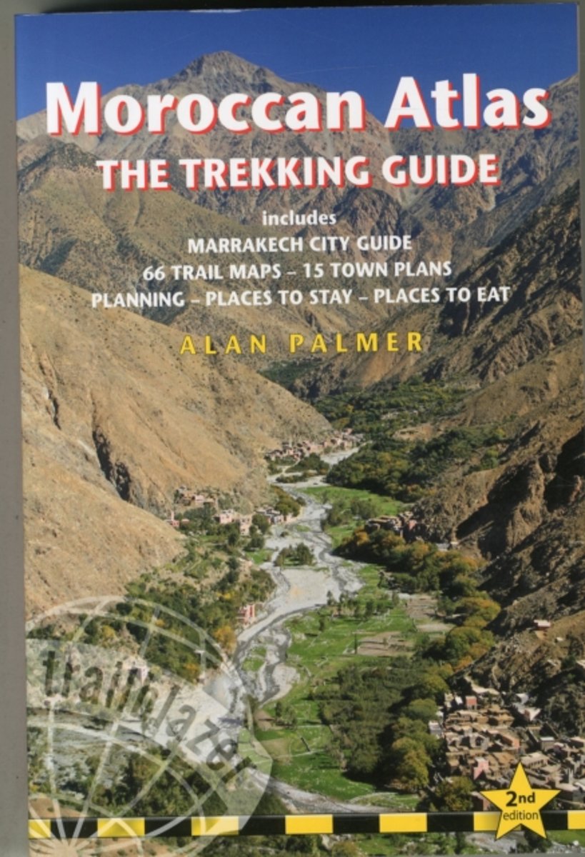
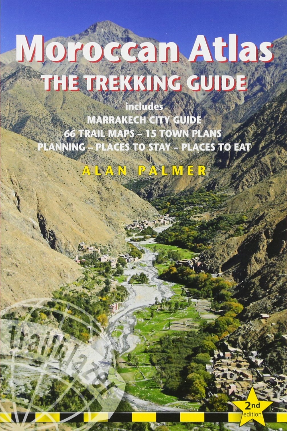
- Moroccan Atlas - The Trekking Guide
- Includes Marrakech City Guide, 50 Trail Maps, 15 Town Plans, Places to Stay, Places to See Read more
- Also available from:
- Bol.com, Netherlands
- Bol.com, Belgium
- De Zwerver, Netherlands
Netherlands
2014
- Moroccan Atlas - The Trekking Guide
- Stretching 1200 miles from the Atlantic port of Agadir east to Tunisia the Atlas form one of the world's great trekking ranges. The High Atlas region in central Morocco is the most dramatic and beautiful section of the entire range. Includes full practical details - getting to Morocco, town guides and maps to Marrakech, Ouarzazate and seven... Read more
Belgium
2014
- Moroccan Atlas - The Trekking Guide
- Stretching 1200 miles from the Atlantic port of Agadir east to Tunisia the Atlas form one of the world's great trekking ranges. The High Atlas region in central Morocco is the most dramatic and beautiful section of the entire range. Includes full practical details - getting to Morocco, town guides and maps to Marrakech, Ouarzazate and seven... Read more
Netherlands
2014
- Wandelgids Moroccan Atlas - the trekking guide Marokko | Trailblazer Guides
- Zeer uitgebreide wandelgids voor een specifiek deel van Marokko: het Atlas-gebergte. Het beschrijft zowel dagtochten als meerdaagse trekkings in detail met schetsmatige kaarten als basis. Van de steden krijg je veel praktische info als verblijf en vervoer. Uitgebreide beschrijvingen om te wandelen in het Atlas gebergte (Marokko) - engelstalige... Read more
Netherlands
2015
- Reisgids Marrakesh | Odyssee Reisgidsen
- In het midden van Marokko vind je Marrakesh, de voormalige hoofdstad van Marokko en naast Meknes, Rabat en Fez één van de vier koningssteden van het land.Een bezoek aan Marrakesh brengt je terug in de tijd. Naar tijden waarin ezel en wagen nog een doodnormaal voertuig waren en troubadours op pleinen verhalen zongen voor de menigte. Het zijn... Read more
Netherlands
- Hall of a Thousand Columns
- All the best armchair travellers are sceptics. Those of the fourteenth century were no exception: for them, there were lies, damned lies, and Ibn Battutah's India. Born in 1304, Ibn Battutah left his native Tangier as a young scholar of law; over the course of the thirty years that followed he visited most of the known world between Morocco and... Read more
- Also available from:
- Bol.com, Belgium
Belgium
- Hall of a Thousand Columns
- All the best armchair travellers are sceptics. Those of the fourteenth century were no exception: for them, there were lies, damned lies, and Ibn Battutah's India. Born in 1304, Ibn Battutah left his native Tangier as a young scholar of law; over the course of the thirty years that followed he visited most of the known world between Morocco and... Read more
Netherlands
2013
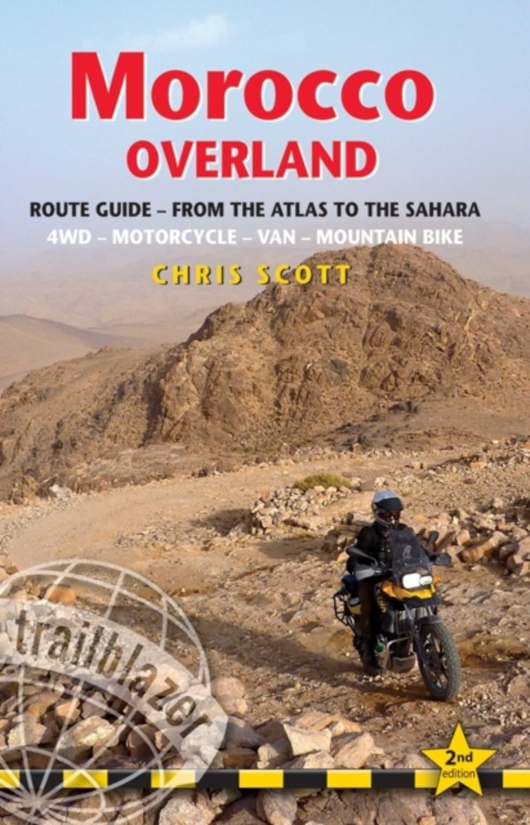
- Trailblazer Morocco Overland
- For the independently-mobile traveller the mountains and deserts of southern Morocco are a year-round destination offering a thrilling variety of experiences. Covering over 10,000km from the High Atlas to the Mauritanian border, Morocco Overland features detailed GPS off-road routes for 4WDs, motorcycles and mountain bikes as well as scenic... Read more
- Also available from:
- Bol.com, Belgium
Belgium
2013
- Trailblazer Morocco Overland
- For the independently-mobile traveller the mountains and deserts of southern Morocco are a year-round destination offering a thrilling variety of experiences. Covering over 10,000km from the High Atlas to the Mauritanian border, Morocco Overland features detailed GPS off-road routes for 4WDs, motorcycles and mountain bikes as well as scenic... Read more
Netherlands
2017
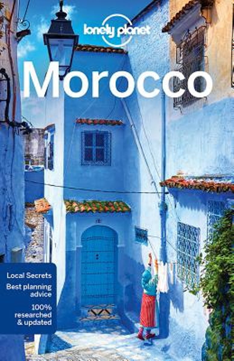
- Lonely Planet Morocco
- #1 best-selling guide to Morocco* Lonely PlanetMorocco is your passport to the most relevant, up-to-date advice on what to see and skip, and what hidden discoveries await you. Explore the medina and tanneries in Fez, hop between kasbahs and oases in the Draa Valley, or catch a wave at Taghazout; all with your trusted travel companion. Get to... Read more
- Also available from:
- Bol.com, Belgium
Belgium
2017
- Lonely Planet Morocco
- #1 best-selling guide to Morocco* Lonely PlanetMorocco is your passport to the most relevant, up-to-date advice on what to see and skip, and what hidden discoveries await you. Explore the medina and tanneries in Fez, hop between kasbahs and oases in the Draa Valley, or catch a wave at Taghazout; all with your trusted travel companion. Get to... Read more
Maps

United Kingdom
- Ceuta CNIG Topo 1110-3
- Ceuta, one of the two Spanish territories on the North African coast, on detailed map at 1:25,000 published as part of Spain topographic survey from the Instituto Geográfico Nacional – Centro Nacional de Información Geograficá, the country’s civilian survey organization. Coverage includes Isla del Perejil.The map has contours at 10m intervals... Read more

United Kingdom
- Morocco IGN Road Map 85108
- Morocco at 1:800,000 on a road map from the Institut Geographique National with street plans of central Rabat, Marrakesh, Tangier, Fès and Meknès. Western Sahara is shown at 1:2,500,000. Cartography is from the renowned German map and guide publishers MairDumont. The map itself is the same as the version published in UK by Marco Polo Travel... Read more
Netherlands
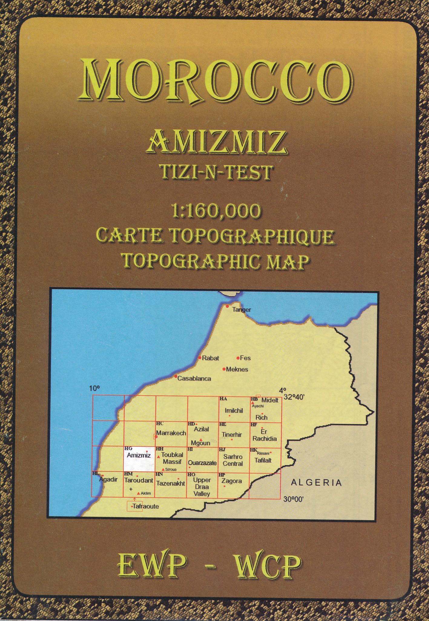
- Wandelkaart HG Amizmiz, Tizi-n-Test (Marokko) | EWP
- Deze kaart maakt deel uit van meerdere gedetailleerde topografische kaarten van het Atlas Gebergte en de daaraan grenzende woestijnen. Elke kaart heeft lokale toeristische info op de achterzijde. Hoogte in hoogtelijnen met 40m interval en een aantal punten. Verdere vermelding van terreinsoort, vegetatie, waterpunten, cliffen, duinen, ravijnen,... Read more
Netherlands
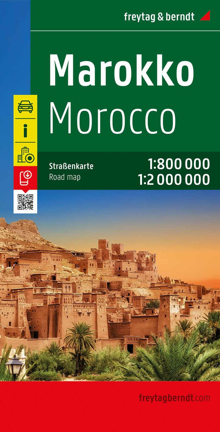
- Wegenkaart - landkaart Marokko | Freytag & Berndt
- Marokko 1 : 800 000 / 1 : 2 000 000. Autokarte ab 10.9 EURO Citypläne, Touristische Information, Ortsregister mit Postleitzahlen Freytag & Berndt Autokarte. Neuauflage. Laufzeit bis 2017 Read more
Netherlands
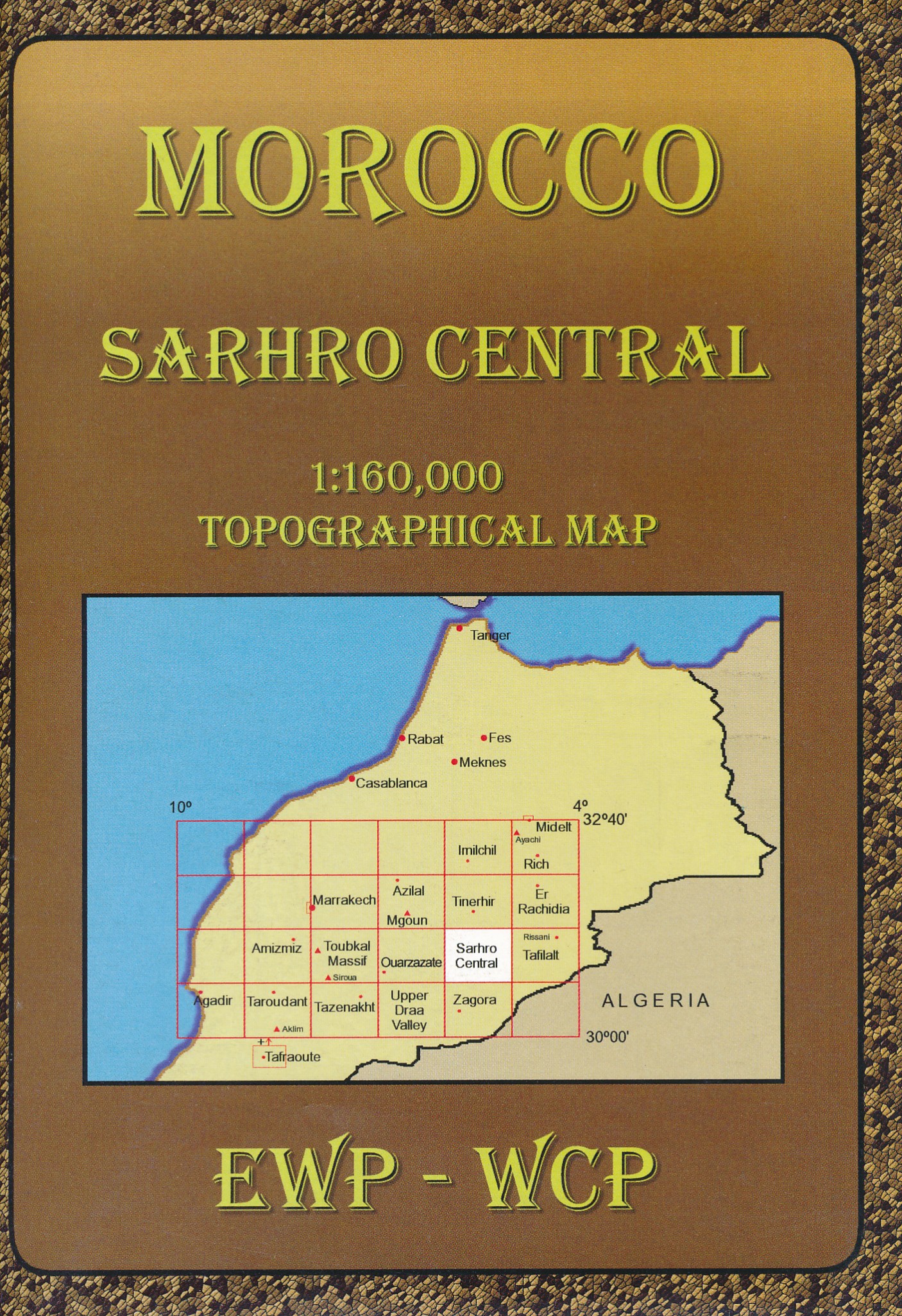
- Wandelkaart HJ Sarhro Central (Marokko) | EWP
- Deze kaart maakt deel uit van meerdere gedetailleerde topografische kaarten van het Atlas Gebergte en de daaraan grenzende woestijnen. Elke kaart heeft lokale toeristische info op de achterzijde. Hoogte in hoogtelijnen met 40m interval en een aantal punten. Verdere vermelding van terreinsoort, vegetatie, waterpunten, cliffen, duinen, ravijnen,... Read more
Netherlands
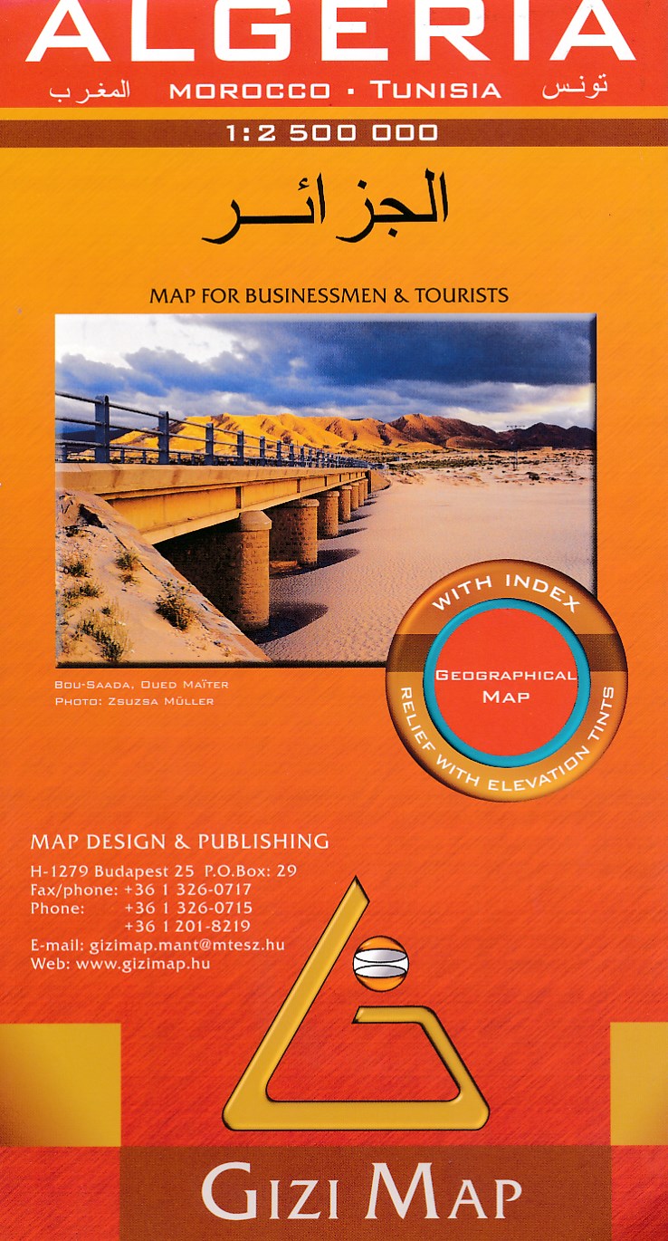
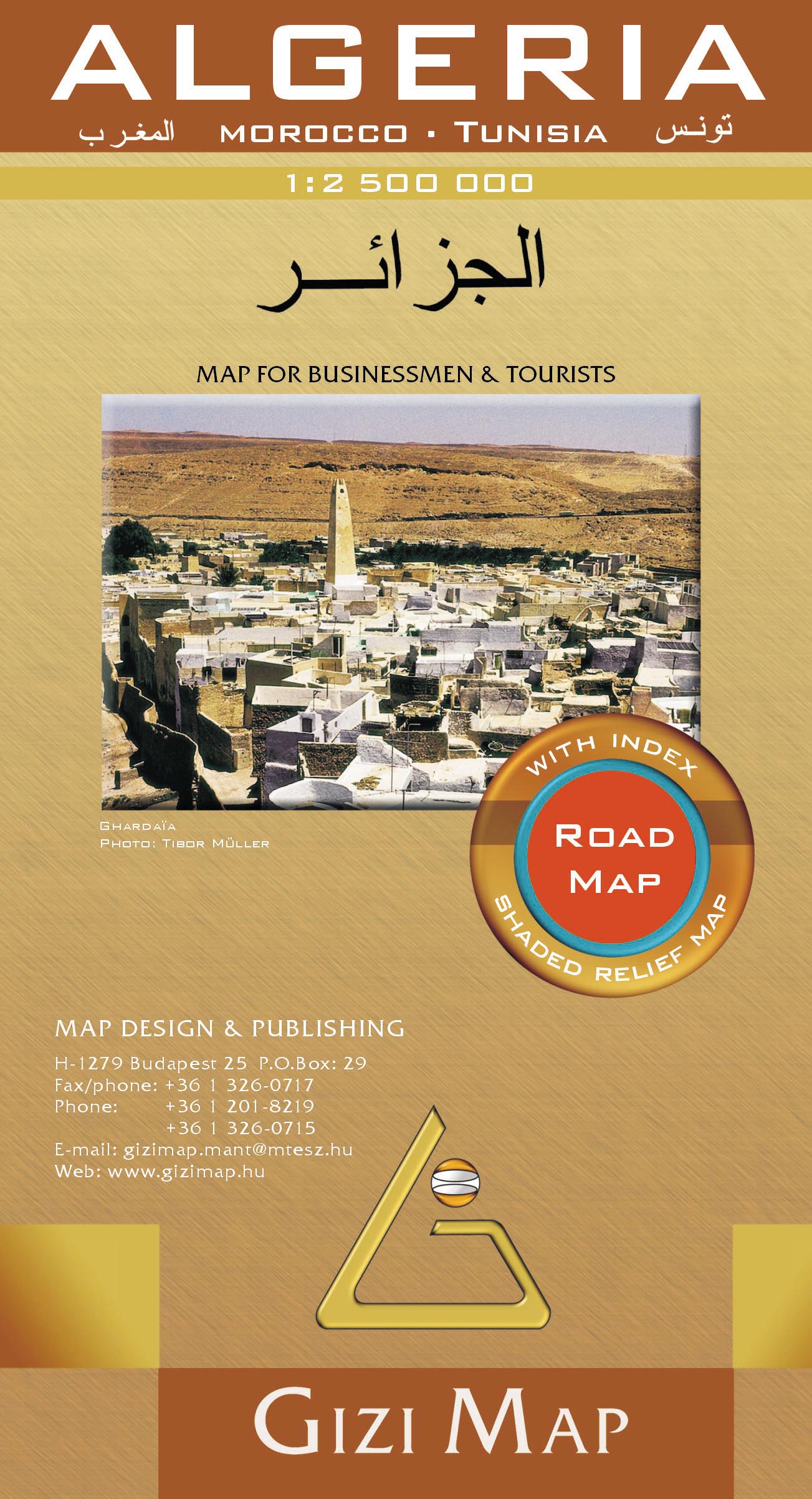
- Wegenkaart - landkaart Algeria - Algerije | Gizi Map
- Algeria Geographical Map 1 : 2 500 000 ab 11.95 EURO Morocco, Tunesia Gizi Map. new edition Read more

United Kingdom
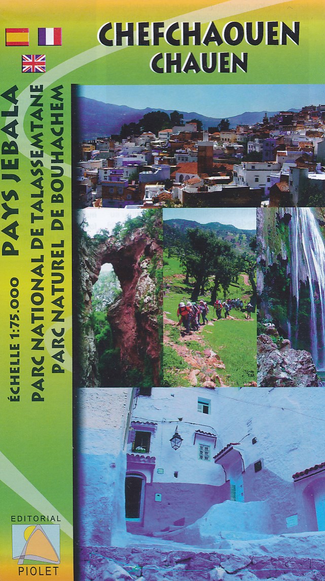
- Chefchaouen - Chauen Editorial Piolet Map
- Chefchaouen (Chauen) region of northern Morocco, south-east of Tangier and Tetouan, at 1:75,000 on a contoured and GPS compatible map from Editorial Piolet, highlighting recommended hiking trails, various tourist facilities and places of interest, etc. Topography is vividly presented by contours at 20m intervals, enhanced by relief shading and... Read more
- Also available from:
- De Zwerver, Netherlands
Netherlands
- Wandelkaart Rif Occidental, Chefchaouen - Chauen | Editorial Piolet
- Chefchaouen (Chauen) region of northern Morocco, south-east of Tangier and Tetouan, at 1:75,000 on a contoured and GPS compatible map from Editorial Piolet, highlighting recommended hiking trails, various tourist facilities and places of interest, etc. Topography is vividly presented by contours at 20m intervals, enhanced by relief shading and... Read more
Netherlands
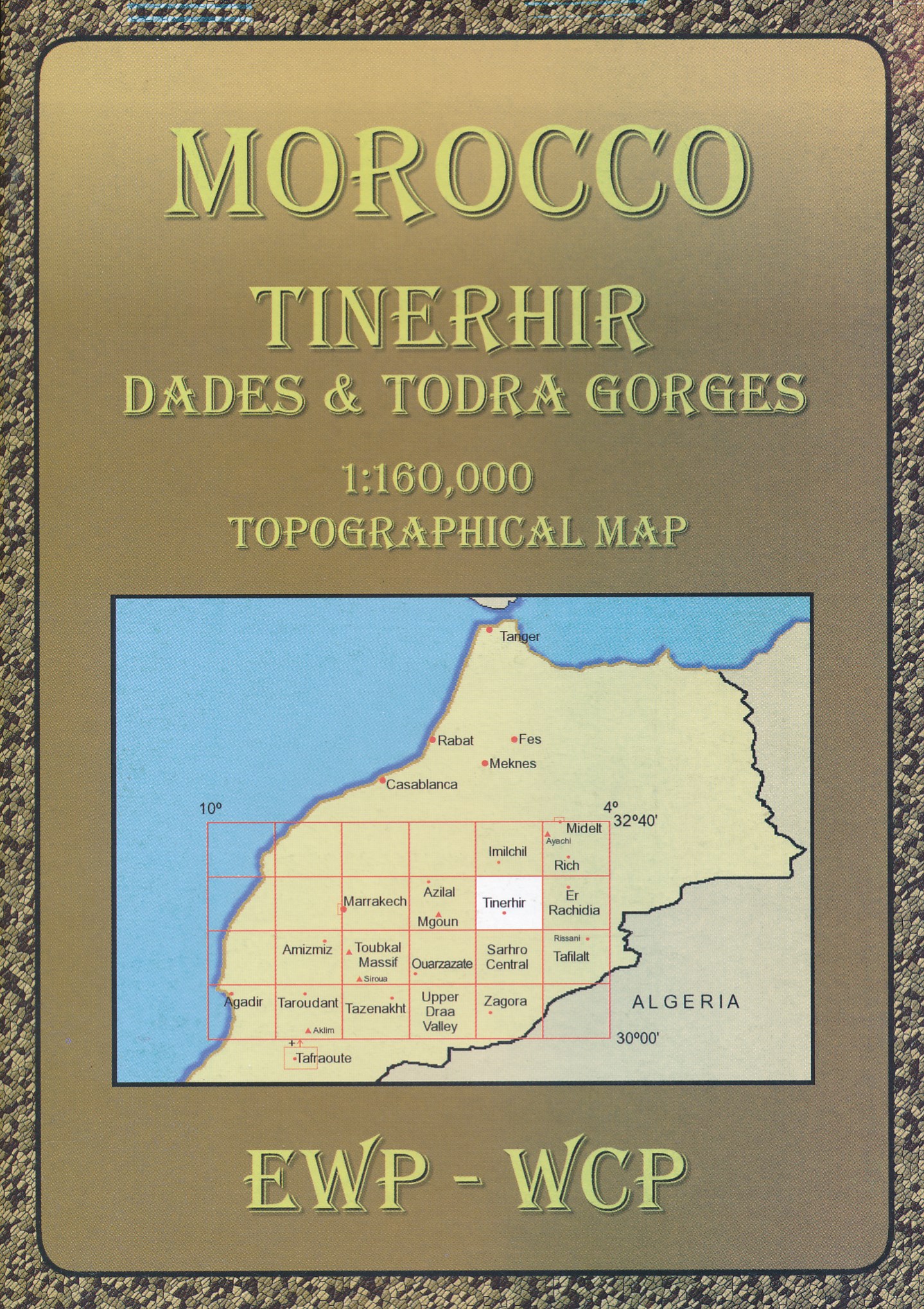
- Wandelkaart HE Tinerhir (Marokko) | EWP
- Deze kaart maakt deel uit van meerdere gedetailleerde topografische kaarten van het Atlas Gebergte en de daaraan grenzende woestijnen. Elke kaart heeft lokale toeristische info op de achterzijde. Hoogte in hoogtelijnen met 40m interval en een aantal punten. Verdere vermelding van terreinsoort, vegetatie, waterpunten, cliffen, duinen, ravijnen,... Read more
Netherlands
- Wegenkaart - landkaart Algeria - Algerije | Gizi Map
- Algeria Road Map 1 : 1 250 000 ab 11.95 EURO Morocco, Tunisia Gizi Map. Neuauflage. Read more