
Macau
Description

Macau is a former Portuguese colony on the southcoast of China. From Hong Kong, a convenient 60 km ferry-ride across the Pearl River Estuary will take you there. Macau consists of the Macau Peninsula and the islands of Taipa and Coloane, now connected by the Cotai Strip landfill.
Being a small, densely populated and heavily urbanized place, long distance hiking is no option in Macau. Yet, there is a network of well-maintained nature trails worth exploring in the hills of Taipa and Coloane. Try the circular Coloane Trail, The Taipa Grande and Taipa Pequena Trails.
Macau's climate is subtropical with very high temperatures and humidity in summer (April - September). For maximum views and dry weather, try November, December, January, February or March.
Trails
Links
Facts
Reports
Guides and maps
Lodging
Organisations
Tour operators
GPS
Other
Books

United Kingdom
2014
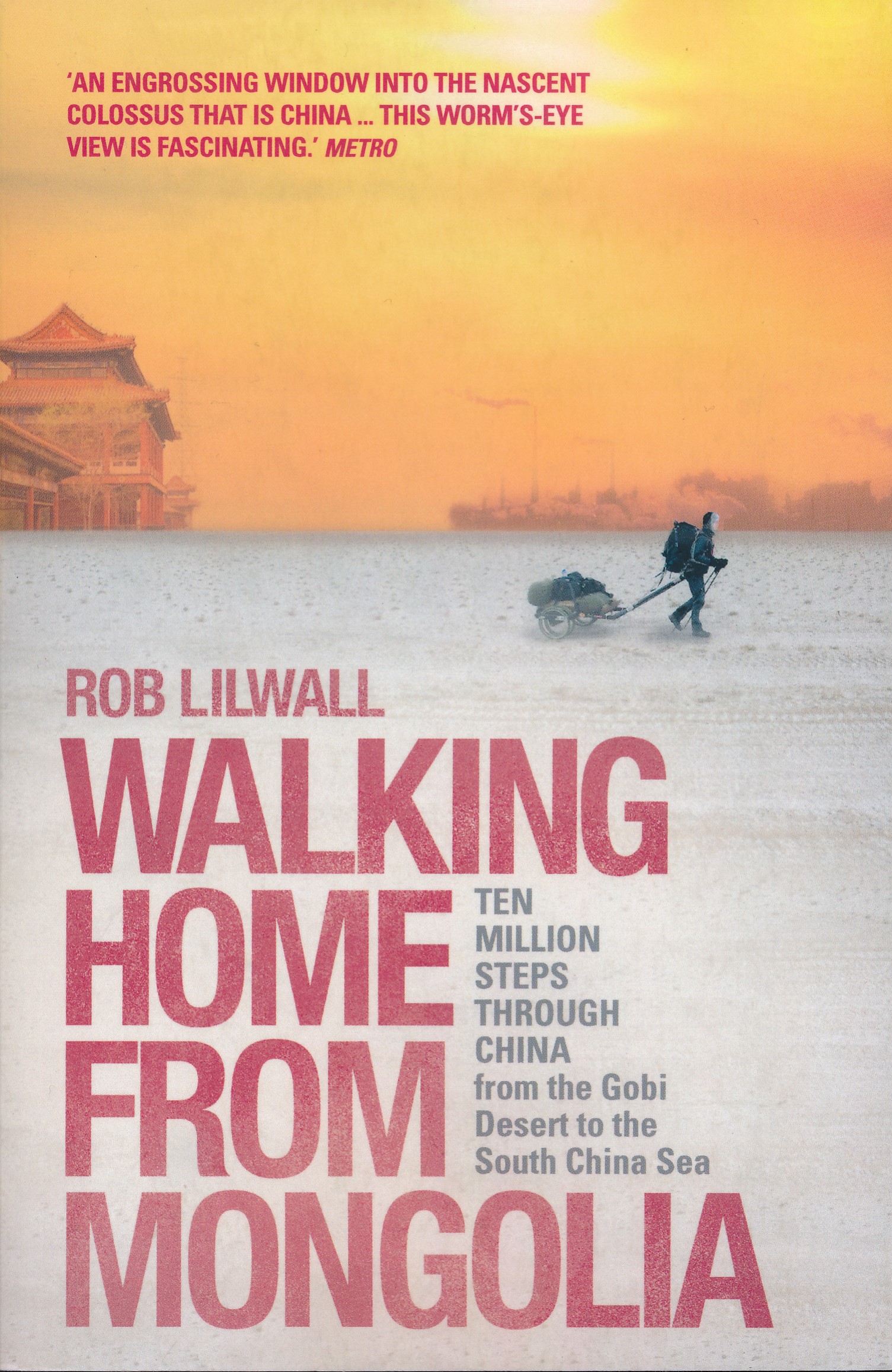
- Walking Home From Mongolia
- Ten Million Steps Through China, From the Gobi Desert to the South China Sea Read more
- Also available from:
- De Zwerver, Netherlands
Netherlands
2014
- Reisverhaal Walking Home From Mongolia | Hodder & Stoughton
- Ten Million Steps Through China, from the Gobi Desert to the South China Sea Read more


Netherlands
- History of Korean Karate
- History of Korean Karate is an attempt to cut through the myths and hype surrounding the history of Korean Karate and all its subsequent styles. The book traces the history of these arts from China to Korea through its documented path. This is a perfect book to add to the collection of any serious Korean stylist. Read more
- Also available from:
- Bol.com, Belgium
Belgium
- History of Korean Karate
- History of Korean Karate is an attempt to cut through the myths and hype surrounding the history of Korean Karate and all its subsequent styles. The book traces the history of these arts from China to Korea through its documented path. This is a perfect book to add to the collection of any serious Korean stylist. Read more
Netherlands
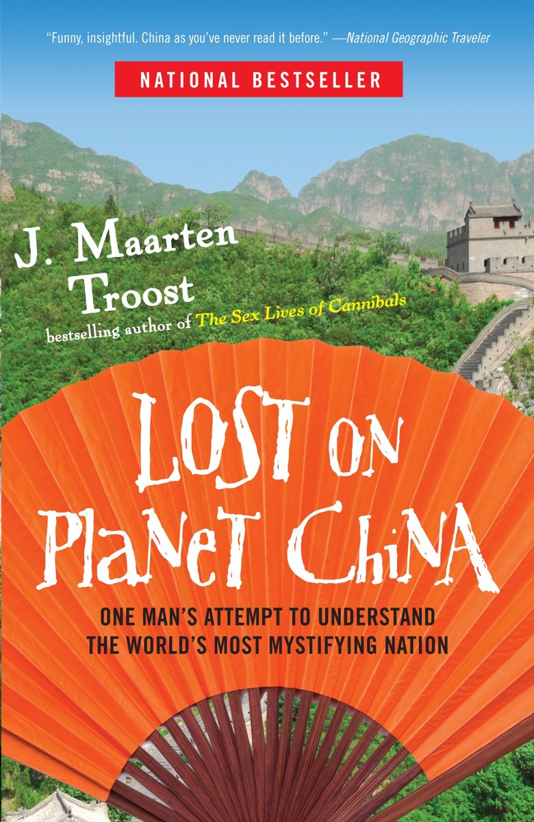
- Lost on Planet China
- The bestselling author of The Sex Lives of Cannibals returns with a sharply observed, hilarious account of his adventures in China-a complex, fascinating country with enough dangers and delicacies to keep him, and readers, endlessly entertained. Maarten Troost has charmed legions of readers with his laugh-out-loud tales of wandering the remote... Read more
- Also available from:
- Bol.com, Belgium
Belgium
- Lost on Planet China
- The bestselling author of The Sex Lives of Cannibals returns with a sharply observed, hilarious account of his adventures in China-a complex, fascinating country with enough dangers and delicacies to keep him, and readers, endlessly entertained. Maarten Troost has charmed legions of readers with his laugh-out-loud tales of wandering the remote... Read more
Netherlands
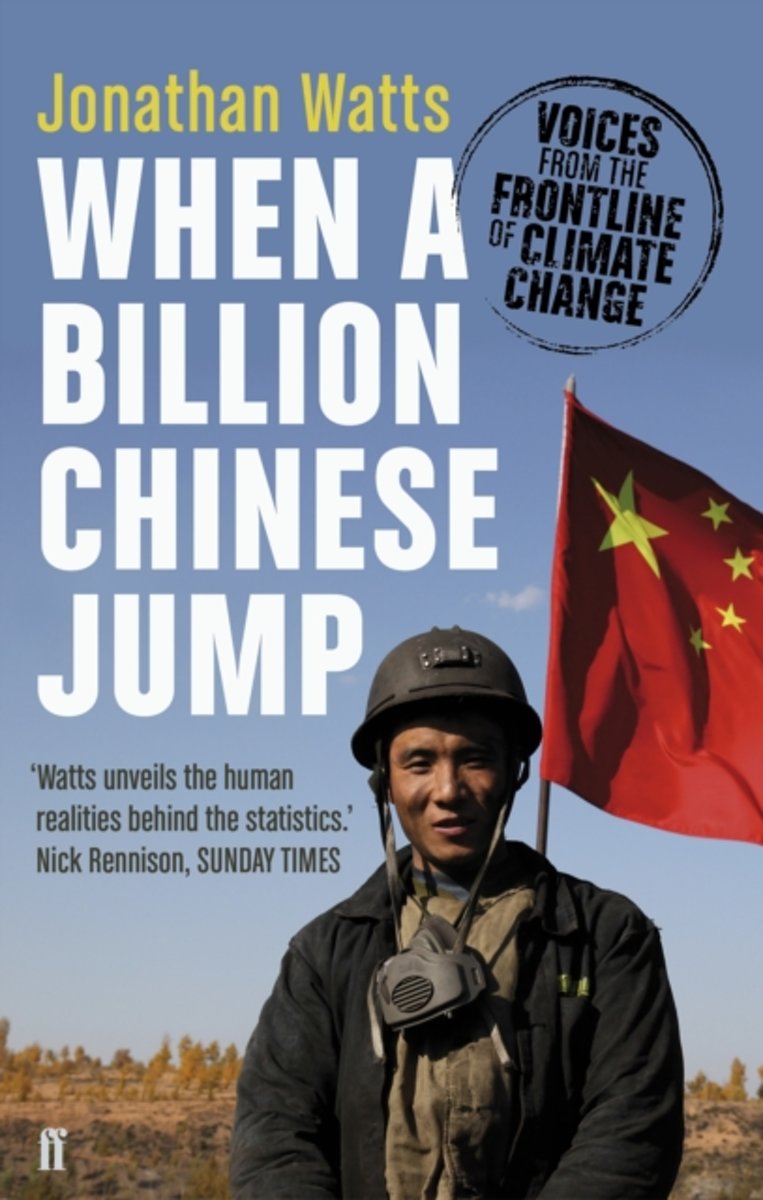
- When a Billion Chinese Jump
- When a Billion Chinese Jump tells the story of China's - and the world's - biggest crisis. With foul air, filthy water, rising temperatures and encroaching deserts, China is already suffering an environmental disaster. Now it faces a stark choice: either accept catastrophe, or make radical changes. Traveling the vast country to witness this... Read more
- Also available from:
- Bol.com, Belgium
Belgium
- When a Billion Chinese Jump
- When a Billion Chinese Jump tells the story of China's - and the world's - biggest crisis. With foul air, filthy water, rising temperatures and encroaching deserts, China is already suffering an environmental disaster. Now it faces a stark choice: either accept catastrophe, or make radical changes. Traveling the vast country to witness this... Read more

Netherlands
- The Variation Theory of Comparative Literature
- Seeing the restrictions of former studies in Comparative Literature and aiming to amend these deficiencies, the author of this book mainly discusses the major theoretical significance and academic value of the Variation Theory in the whole process of the development of Comparative Literature in the world. In China the seminal comparative study... Read more
- Also available from:
- Bol.com, Belgium
Belgium
- The Variation Theory of Comparative Literature
- Seeing the restrictions of former studies in Comparative Literature and aiming to amend these deficiencies, the author of this book mainly discusses the major theoretical significance and academic value of the Variation Theory in the whole process of the development of Comparative Literature in the world. In China the seminal comparative study... Read more
Netherlands
- Angkor Wat Temples
- Cambodia, a hidden pearl ready to be discovered, lies in Southeast Asia, bordering Thailand, Laos, and Vietnam. To the south, hundreds of miles of coastline greet the never-ending surge and swells of the South China Sea, providing a paradise of surf, sand, and sun for the country's two million visitors. The Kingdom of Cambodia (its official... Read more
- Also available from:
- Bol.com, Belgium
Belgium
- Angkor Wat Temples
- Cambodia, a hidden pearl ready to be discovered, lies in Southeast Asia, bordering Thailand, Laos, and Vietnam. To the south, hundreds of miles of coastline greet the never-ending surge and swells of the South China Sea, providing a paradise of surf, sand, and sun for the country's two million visitors. The Kingdom of Cambodia (its official... Read more

Netherlands
- Tao Te King
- El Dao De Jing (Tao Te Ching, tambien llamado Tao Te King), cuya autoria se atribuye a Laozi (WG Lao Tzu, tambien trasliterado como Lao Tse, Viejo Maestro ), es un texto clasico chino. Su nombre procede de las palabras con las que empiezan cada una de sus dos partes: dao el camino , la primera del Capitulo 1, y de virtud , o poder , la primera... Read more
- Also available from:
- Bol.com, Belgium
Belgium
- Tao Te King
- El Dao De Jing (Tao Te Ching, tambien llamado Tao Te King), cuya autoria se atribuye a Laozi (WG Lao Tzu, tambien trasliterado como Lao Tse, Viejo Maestro ), es un texto clasico chino. Su nombre procede de las palabras con las que empiezan cada una de sus dos partes: dao el camino , la primera del Capitulo 1, y de virtud , o poder , la primera... Read more

Netherlands
2016
- Reisgids Eyewitness Travel Beijing & Shanghai | Dorling Kindersley
- The DK Eyewitness Travel Guide : Beijing and Shanghai will lead you straight to the best attractions both cities have to offer. The guide includes unique cutaways, floorplans and reconstructions of Beijing and Shanghai's stunning architecture, plus 3D aerial views of the key districts to explore on foot. You'll find detailed listings of the... Read more

Netherlands
- China, Portrait of a Country
- This is a sweeping portrait of China, its people, and its history since 1949. It is presented as seen by China's most prominent photographers and edited by Pulitzer-winning photojournalist Liu Heung Shing. This book brings together a vast selection of images by Chinese photographers since 1949, giving readers a visual journey across the great... Read more
- Also available from:
- Bol.com, Belgium
Belgium
- China, Portrait of a Country
- This is a sweeping portrait of China, its people, and its history since 1949. It is presented as seen by China's most prominent photographers and edited by Pulitzer-winning photojournalist Liu Heung Shing. This book brings together a vast selection of images by Chinese photographers since 1949, giving readers a visual journey across the great... Read more

Netherlands
2017
- Reisgids City Guide Beijing | Lonely Planet
- De perfecte reisgids voor zowel de georganiseerde als de zelfstandige reiziger. Naast een algemene inleiding van het land / streek vol met praktische informatie over hoe je er het beste kunt reizen: slapen, eten, vervoer, excursies ... alles kun je er in vinden. Constantly reimagining itself as it races towards the future, yet inextricably... Read more


Netherlands
- Stories on Silk; A Peek Into China
- Here is a taste of China, through popular Chinese folk stories and Suzanna Leigh s photos, sketches, and journal entries. Well written and engaging, this little book provides a peek into China outside the tourist path. Read more
- Also available from:
- Bol.com, Belgium
Belgium
- Stories on Silk; A Peek Into China
- Here is a taste of China, through popular Chinese folk stories and Suzanna Leigh s photos, sketches, and journal entries. Well written and engaging, this little book provides a peek into China outside the tourist path. Read more

Netherlands
- Sheila's Guide to the Five Most Beautiful Towns and Villages in China
- Our first visit to China in 1989 was light-years ago. Tourists were only allowed to tour with a State Guide shepherding you around, shopping was reserved for the "Friendship Stores," and it was strictly forbidden to wander off on your own. Cosmopolitan China today is a revelation and constantly reinventing itself. Houses sell for millions of... Read more
- Also available from:
- Bol.com, Belgium
Belgium
- Sheila's Guide to the Five Most Beautiful Towns and Villages in China
- Our first visit to China in 1989 was light-years ago. Tourists were only allowed to tour with a State Guide shepherding you around, shopping was reserved for the "Friendship Stores," and it was strictly forbidden to wander off on your own. Cosmopolitan China today is a revelation and constantly reinventing itself. Houses sell for millions of... Read more

Netherlands
- A Bamboo Raft and Mountain View in Guangxi China Journal
- This journal with 150 ruled pages awaits your writing pleasure. You can use it to record your hopes and dreams, express your gratitude, to keep a bucket list, as a daily diary, or to jot down your To-Do lists. The possibilities are endless and the choice is all yours. Enjoy! Read more
- Also available from:
- Bol.com, Belgium
Belgium
- A Bamboo Raft and Mountain View in Guangxi China Journal
- This journal with 150 ruled pages awaits your writing pleasure. You can use it to record your hopes and dreams, express your gratitude, to keep a bucket list, as a daily diary, or to jot down your To-Do lists. The possibilities are endless and the choice is all yours. Enjoy! Read more
Maps

United Kingdom
- Admiralty Routeing Chart 5149(7) - South China Sea - July
- Essential for use in passage planning for ocean voyages, Routeing Charts include routes and distances between major ports, ocean currents, ice limits, load lines and wind roses. They also contain expected meteorological and oceanographic conditions for each month of the year.Individual chart scales of 1:5,000,000, 1:10,000,000 and 1:20,000,000... Read more

United Kingdom
- Admiralty Routeing Chart 5150(3) - East China Sea - March
- Essential for use in passage planning for ocean voyages, Routeing Charts include routes and distances between major ports, ocean currents, ice limits, load lines and wind roses. They also contain expected meteorological and oceanographic conditions for each month of the year.Individual chart scales of 1:5,000,000, 1:10,000,000 and 1:20,000,000... Read more

United Kingdom
- Admiralty Routeing Chart 5150(11) - East China Sea - November
- Essential for use in passage planning for ocean voyages, Routeing Charts include routes and distances between major ports, ocean currents, ice limits, load lines and wind roses. They also contain expected meteorological and oceanographic conditions for each month of the year.Individual chart scales of 1:5,000,000, 1:10,000,000 and 1:20,000,000... Read more

United Kingdom
- China West ITMB
- Western China on a double-sided, indexed road map from ITMB at 1:3,000,000, with three insets providing a street plan of central Lhasa, a wider coverage of the city and a plan of the Norbulingka complex. The map divides the region north/south and coverage extends east to approx. 106° (Lanzhou/Chengou).The map has altitude colouring in feet,... Read more
United Kingdom
- Admiralty Routeing Chart 5149(8) - South China Sea - August
- Essential for use in passage planning for ocean voyages, Routeing Charts include routes and distances between major ports, ocean currents, ice limits, load lines and wind roses. They also contain expected meteorological and oceanographic conditions for each month of the year.Individual chart scales of 1:5,000,000, 1:10,000,000 and 1:20,000,000... Read more

United Kingdom
- Admiralty Routeing Chart 5150(4) - East China Sea - April
- Essential for use in passage planning for ocean voyages, Routeing Charts include routes and distances between major ports, ocean currents, ice limits, load lines and wind roses. They also contain expected meteorological and oceanographic conditions for each month of the year.Individual chart scales of 1:5,000,000, 1:10,000,000 and 1:20,000,000... Read more

United Kingdom
- Admiralty Routeing Chart 5150(12) - East China Sea - December
- Essential for use in passage planning for ocean voyages, Routeing Charts include routes and distances between major ports, ocean currents, ice limits, load lines and wind roses. They also contain expected meteorological and oceanographic conditions for each month of the year.Individual chart scales of 1:5,000,000, 1:10,000,000 and 1:20,000,000... Read more

United Kingdom
- Admiralty Routeing Chart 5149(9) - South China Sea - September
- Essential for use in passage planning for ocean voyages, Routeing Charts include routes and distances between major ports, ocean currents, ice limits, load lines and wind roses. They also contain expected meteorological and oceanographic conditions for each month of the year.Individual chart scales of 1:5,000,000, 1:10,000,000 and 1:20,000,000... Read more

United Kingdom
- Admiralty Routeing Chart 5150(5) - East China Sea - May
- Essential for use in passage planning for ocean voyages, Routeing Charts include routes and distances between major ports, ocean currents, ice limits, load lines and wind roses. They also contain expected meteorological and oceanographic conditions for each month of the year.Individual chart scales of 1:5,000,000, 1:10,000,000 and 1:20,000,000... Read more


United Kingdom
- Admiralty Routeing Chart 5149(1) - South China Sea - January
- Essential for use in passage planning for ocean voyages, Routeing Charts include routes and distances between major ports, ocean currents, ice limits, load lines and wind roses. They also contain expected meteorological and oceanographic conditions for each month of the year.Individual chart scales of 1:5,000,000, 1:10,000,000 and 1:20,000,000... Read more

United Kingdom
- Admiralty Routeing Chart 5149(10) - South China Sea - October
- Essential for use in passage planning for ocean voyages, Routeing Charts include routes and distances between major ports, ocean currents, ice limits, load lines and wind roses. They also contain expected meteorological and oceanographic conditions for each month of the year.Individual chart scales of 1:5,000,000, 1:10,000,000 and 1:20,000,000... Read more

United Kingdom
- Admiralty Routeing Chart 5150(6) - East China Sea - June
- Essential for use in passage planning for ocean voyages, Routeing Charts include routes and distances between major ports, ocean currents, ice limits, load lines and wind roses. They also contain expected meteorological and oceanographic conditions for each month of the year.Individual chart scales of 1:5,000,000, 1:10,000,000 and 1:20,000,000... Read more

United Kingdom
- Admiralty Routeing Chart 5149(2) - South China Sea - February
- Essential for use in passage planning for ocean voyages, Routeing Charts include routes and distances between major ports, ocean currents, ice limits, load lines and wind roses. They also contain expected meteorological and oceanographic conditions for each month of the year.Individual chart scales of 1:5,000,000, 1:10,000,000 and 1:20,000,000... Read more

United Kingdom
- Admiralty Routeing Chart 5149(3) - South China Sea - March
- Essential for use in passage planning for ocean voyages, Routeing Charts include routes and distances between major ports, ocean currents, ice limits, load lines and wind roses. They also contain expected meteorological and oceanographic conditions for each month of the year.Individual chart scales of 1:5,000,000, 1:10,000,000 and 1:20,000,000... Read more