Annapurna Circuit
Description
- Name Annapurna Circuit
- Length of trail 250 km, 155 miles
- Length in days 18 days
- Start of trail Nayapul
- End of trail Besi Sahar
- Traildino grading SW, Strenuous walk, mountain trail
- Hut tour grading T2, Mountain walk

18 days.
The classic trek, hiking around the Annapurna Circuit, “The Best Trek in the World”, may soon be a thing of the past. Even in 2007 some 70.000 hikers registered at Jomsom. This was coming close to the number of 76.000 reached in the year 2000, before the communist uprising.
But now, there is a road into the valley of the Kali Gandaki up to Muktinath, below Thorung La pass. In the Manang valley, on the other side of the Annapurna massif, a road is under construction. Although the road is not asphalted, walking is very dull and tiring along a wide dusty stretch with passing jeeps. Nevertheless it will cause the old pathways to fall into disuse eventually. Possibly, sufficient good alternatives will remain. Also the trek to Annapurna Sanctuary, the climb to Poon Hill, and for the toughest hikers the circuit between Thorung La and the 5000 m high Tilicho Lake, will continue to attract hikers.
Trekking the Annapurna Circuit takes about 18 days. Starting point is Pokhara, a peaceful hippie-town on the shores of pictur-esque Phewa Lake, with a view on the snow-capped Himalaya. From there most hikers catch a bus to the town of Besi Sahar, and start hiking up the deep valley of the Marsyandi. In a week's time you will gain over 5000 m in altitude, and pass through all kinds of biotopes, from rice growing villages of the Gunung to Tibetan barley fields. Along the way you will see lovely villages, pass countless mule caravans and forests of rhodondendron. As you enter deeper into the valley, you will get a better view of the Annapurna III and the Gangapurna. There are alternative trails higher up along the slopes: be sure to take these for superb views.
The valley ends in a wild alpine environment, and for many hikers the climb across Thorung La (5416 m) will be their metaphorical 'high'. Climbing across is exciting, but not without danger, and above all exhausting. In October 2014 dozens of people died when they got trapped in a blizzard while descending from Thorung La to Muktinath.
After reaching the western side of the massif, the trail leads through the Tibetan style towns of Muktinath and Kagbeni into the valley of the Kali Gandaki. It ends with yet another 3 day hike to Poon Hill, from where you can enjoy a final overview of a large portion of the Himalaya. Finally you will reach the main road near the village of Nayapul, at about an hour's drive by bus or taxi to Pokhara.
Some practicalities: the hike is technically easy, but requires a lot of stamina. Finding a place for the night is easy, as there is a wide choice of lodges. However, it does get busy in October, and also in November and April. During the monsoon in June, July and August hikers are few. The majority of hikers set out on the Annapurna Circuit in an anti-clockwise direction. The reason is, from the eastern side there are more lodges, enabling you to cut the climb up Thorung La pass into several short stretches. Starting from Muktinath on the west side is also possible, but implicates a single stretch climb of 1600 m, starting at an altitude of 3800 m.
Map


Links
Facts
Reports
Guides and maps
Lodging
Organisations
Tour operators
GPS
Other
Books

Netherlands
- Getting High
- What is the best way for the average person to authentically experience the world's greatest mountain range--the Himalayas? Fortunately, there is now a good answer. The Annapurna Circuit in Nepal is the most popular footpath in Asia. Its genius lies in its design. Trekkers wind their way around and along some of the world's greatest peaks,... Read more
- Also available from:
- Bol.com, Belgium
Belgium
- Getting High
- What is the best way for the average person to authentically experience the world's greatest mountain range--the Himalayas? Fortunately, there is now a good answer. The Annapurna Circuit in Nepal is the most popular footpath in Asia. Its genius lies in its design. Trekkers wind their way around and along some of the world's greatest peaks,... Read more

United Kingdom
2017
- Also available from:
- Bol.com, Netherlands
- Bol.com, Belgium
- De Zwerver, Netherlands
Netherlands
2017
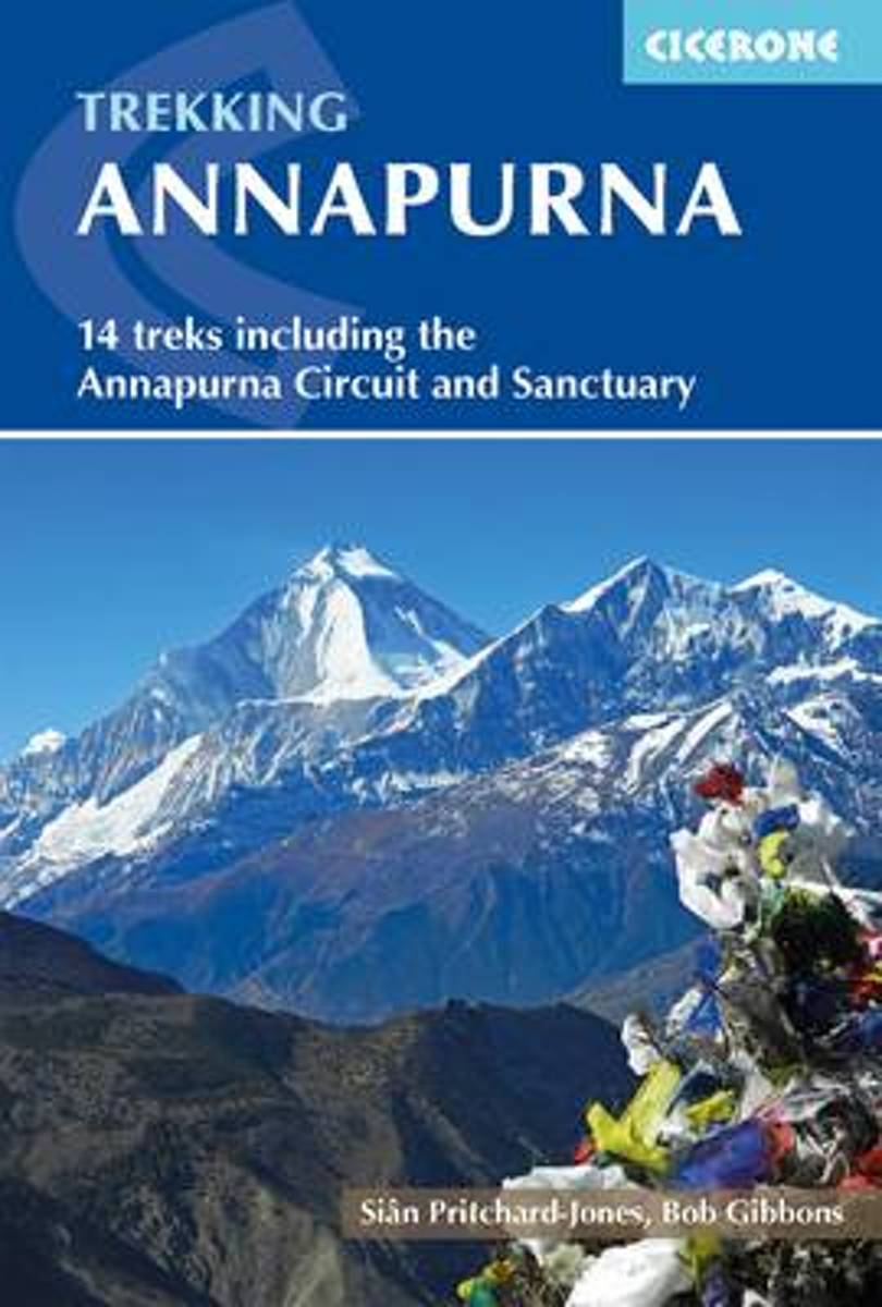
- Annapurna
- An essential guidebook to the Annapurna region - the most popular trekking area in Nepal. Fourteen diverse treks are described including the classic Annapurna Circuit and the Annapurna Sanctuary as well as treks in the lesser known Machhapuchhre area, the foothills of Lamjung Himal and restricted areas - Mustang, Damodar and Nar-Phu. Read more
Belgium
2017
- Annapurna
- An essential guidebook to the Annapurna region - the most popular trekking area in Nepal. Fourteen diverse treks are described including the classic Annapurna Circuit and the Annapurna Sanctuary as well as treks in the lesser known Machhapuchhre area, the foothills of Lamjung Himal and restricted areas - Mustang, Damodar and Nar-Phu. Read more

Netherlands
2017
- Wandelgids Annapurna - A Trekker's Guide - Nepal | Cicerone
- A comprehensive trekking guidebook to the Annapurna region - the most popular trekking area in Nepal. Fourteen diverse treks are described including the classic Annapurna Circuit and the Annapurna Sanctuary as well as treks in the lesser known Machhapuchhre area, the foothills of Lamjung Himal and restricted areas - Mustang, Damodar and Nar-Phu. Read more
Netherlands
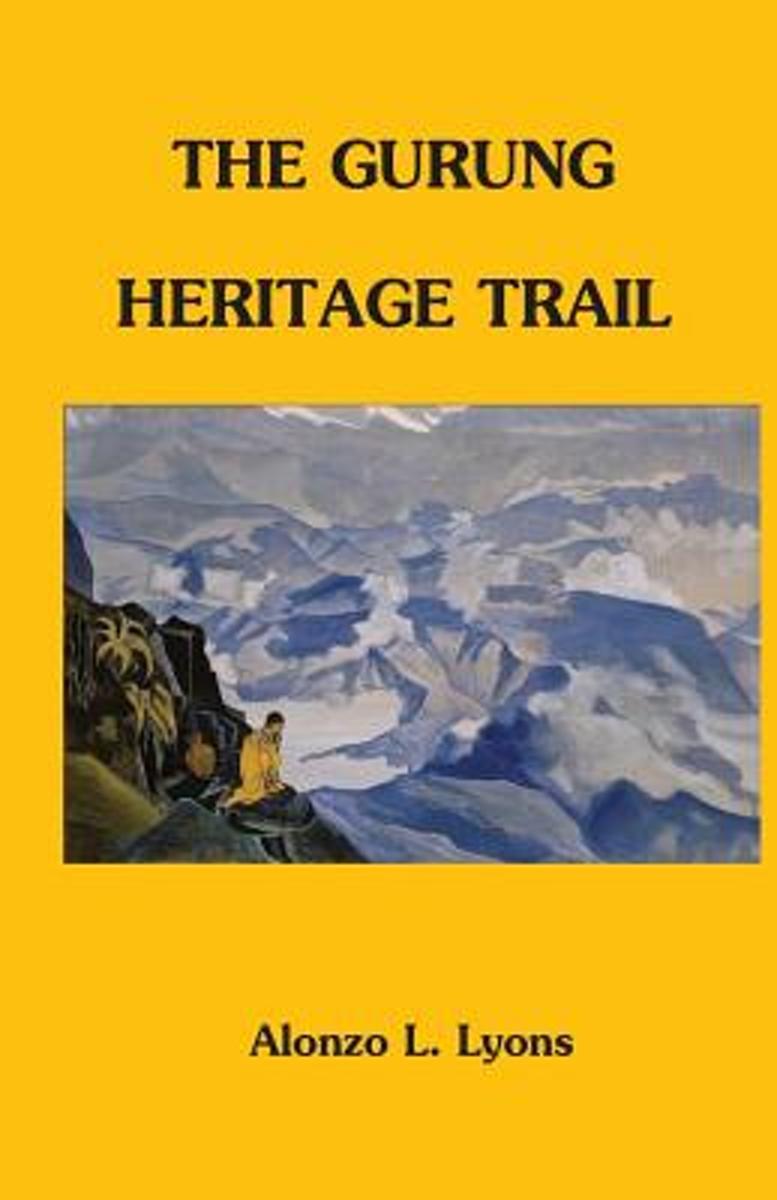
- The Gurung Heritage Trail
- Trekkers wishing to meet few other foreigners will enjoy The Gurung Heritage Trail. Village panoramas with a Himalaya backdrop offer unparalleled beauty, and the cultural interaction can be even more rewarding than the views. This book provides the essentials for entering the heart of Gurung country and an inroad to the lifestyle of Nepal s... Read more
- Also available from:
- Bol.com, Belgium
Belgium
- The Gurung Heritage Trail
- Trekkers wishing to meet few other foreigners will enjoy The Gurung Heritage Trail. Village panoramas with a Himalaya backdrop offer unparalleled beauty, and the cultural interaction can be even more rewarding than the views. This book provides the essentials for entering the heart of Gurung country and an inroad to the lifestyle of Nepal s... Read more
Netherlands
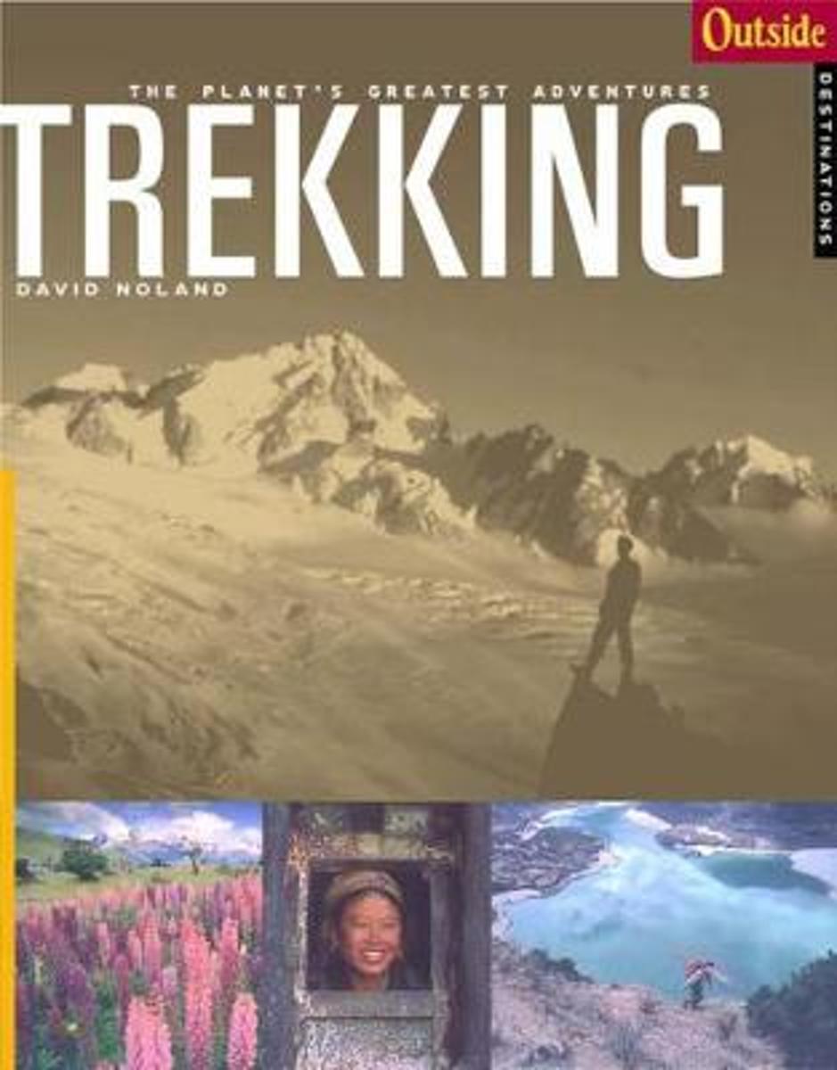
- Outside Adventure Travel
- Follow in the footsteps of early twentieth-century explorers on twenty treks spanning six continents that range from Everest Base Camp to a pilgrimage across the Pyrenees. They include: the mysterious Ruwenzori mountains in the heart of Africa; five classic Himalayan tours, including the Annapurna Circuit and seldom-visited Snow Lake; an... Read more
- Also available from:
- Bol.com, Belgium
Belgium
- Outside Adventure Travel
- Follow in the footsteps of early twentieth-century explorers on twenty treks spanning six continents that range from Everest Base Camp to a pilgrimage across the Pyrenees. They include: the mysterious Ruwenzori mountains in the heart of Africa; five classic Himalayan tours, including the Annapurna Circuit and seldom-visited Snow Lake; an... Read more
Maps

United Kingdom
- Tilicho Hidden Lake
- Tilicho Lake on the northern slopes of the Annapurna massif at 1:50,000 in the Nepa Maps series which provides extensive coverage of trekking areas of Nepal on detailed contoured maps with trekking routes and hiking trails, huts and camp sites, local places of interest and other tourist information.The map covers the trekking route from... Read more

United Kingdom
- Annapurna Trekking Atlas
- Trekking Atlas of the Annapurna region from the Kolkata/Calcutta based Milestone Books, combining 15 maps at scales from 1:50,000 to 1:82,000 and an overview map of the whole Annapurna Circuit at 1:125,000. The main Annapurna circuit via Muktinath and Jomson is presented on 12 pages, with three more pages covering the eastern approaches to the... Read more

United Kingdom
- Biking Around Annapurna
- Annapurna Cycling Circuit from Nepa Maps, shown on a series of panels at 1:75,000 with detailed information of the difficulty of the terrain indicating sections where the bike has to be carried or pushed, overnight stops, altitude profiles, etc.A general map at 1:227,000 with relief shading shows the whole of the Eagle’s Loop biking circuit... Read more

United Kingdom
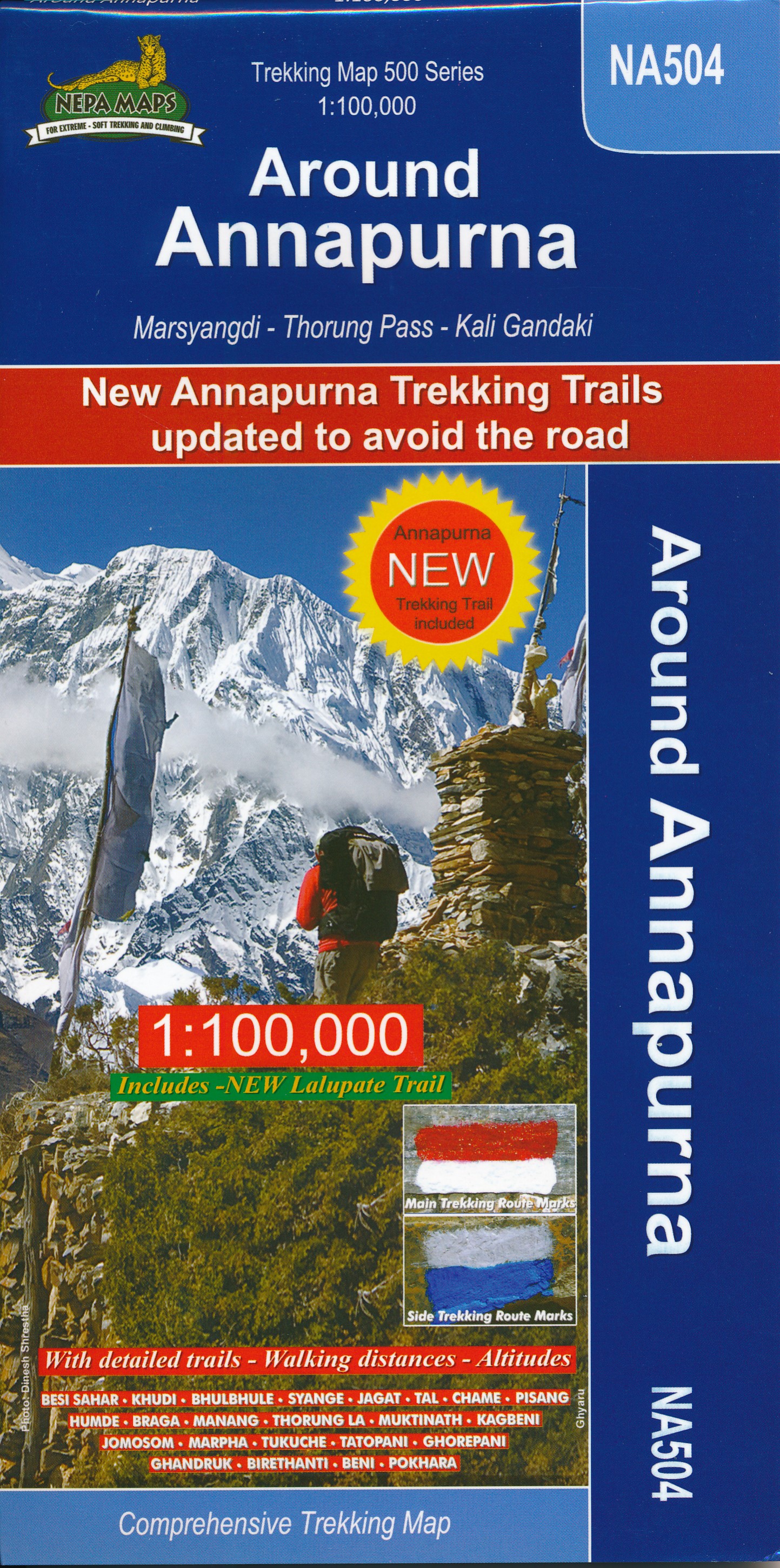
- Around Annapurna (125K)
- The whole of the Annapurna Circuit prominently highlighted on a map at 1:125,000 from Nepa Maps with alternative variants via the Tilicho Lakes or Naar, treks to the Machhapuchhre and South Annapurna Base Camps, climbing routes to the Chulu Peaks, Pisang Peak and Singu Chuli (Fluted Peak), etc. Coverage extends from Pohkara to Muktinath and... Read more

United Kingdom
- Around Annapurna (100K)
- The whole of the Annapurna Circuit highlighted on a map at 1:100,000 from Nepa Maps, with alternative variants via the Tilicho Lakes or Naar, treks to the Machhapuchhre and South Annapurna Base Camps, climbing routes to the Chulu Peaks, Pisang Peak and Singu Chuli (Fluted Peak), etc. Coverage extends from Pohkara to Muktinath and Kagbeni in the... Read more

United Kingdom
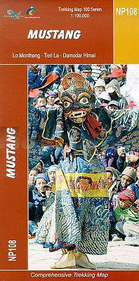
- Mustang Great Himalaya Trail Map
- Mustang, map no. 108, at 1:100,000 on a waterproof and tear-resistant trekking map from the Himalayan MapHouse in their series covering the whole of northern Nepal. The map shows the region north of the upper section of the Annapurna Circuit, beyond Jomsom/Jomosom and Muktinath, and highlights the route to Garphu, the Mustang to Phu trek, the... Read more

United Kingdom
- Pisang Peak
- Trekking routes to the Pisang Peak from the northern part of the Annapurna Circuit presented on a contoured and GP compatible map at 1:50,000 from Nepa Maps with a vivid presentation of the region’s mountainous terrain. The Annapurna Circuit is clearly highlighted on the map, which covers it from Thoche east of Chame, past Manang, to Ledar... Read more

United Kingdom
- Ghorepani - Ghandruk
- Trekking area north-west of Pokhara, around Ghandruk and Ghrorepani in the south-western part of the Annapurna Conservation Area, presented on a map at 1:50,000 from Nepa Maps. Coverage extends north to Tatopani and includes a section of the Annapurna Circuit, prominently marked to distinguish it from other trekking routes. The map also... Read more

United Kingdom
- Chulus
- Trekking routes to the Chulu peaks from the northern part of the Annapurna Circuit presented on a contoured and GP compatible map at 1:50,000 from Nepa Maps with a vivid presentation of the region’s mountainous terrain. The Annapurna Circuit is clearly highlighted on the map, which covers it from Thoche east of Chame, past Manang, to Ledar... Read more

United Kingdom
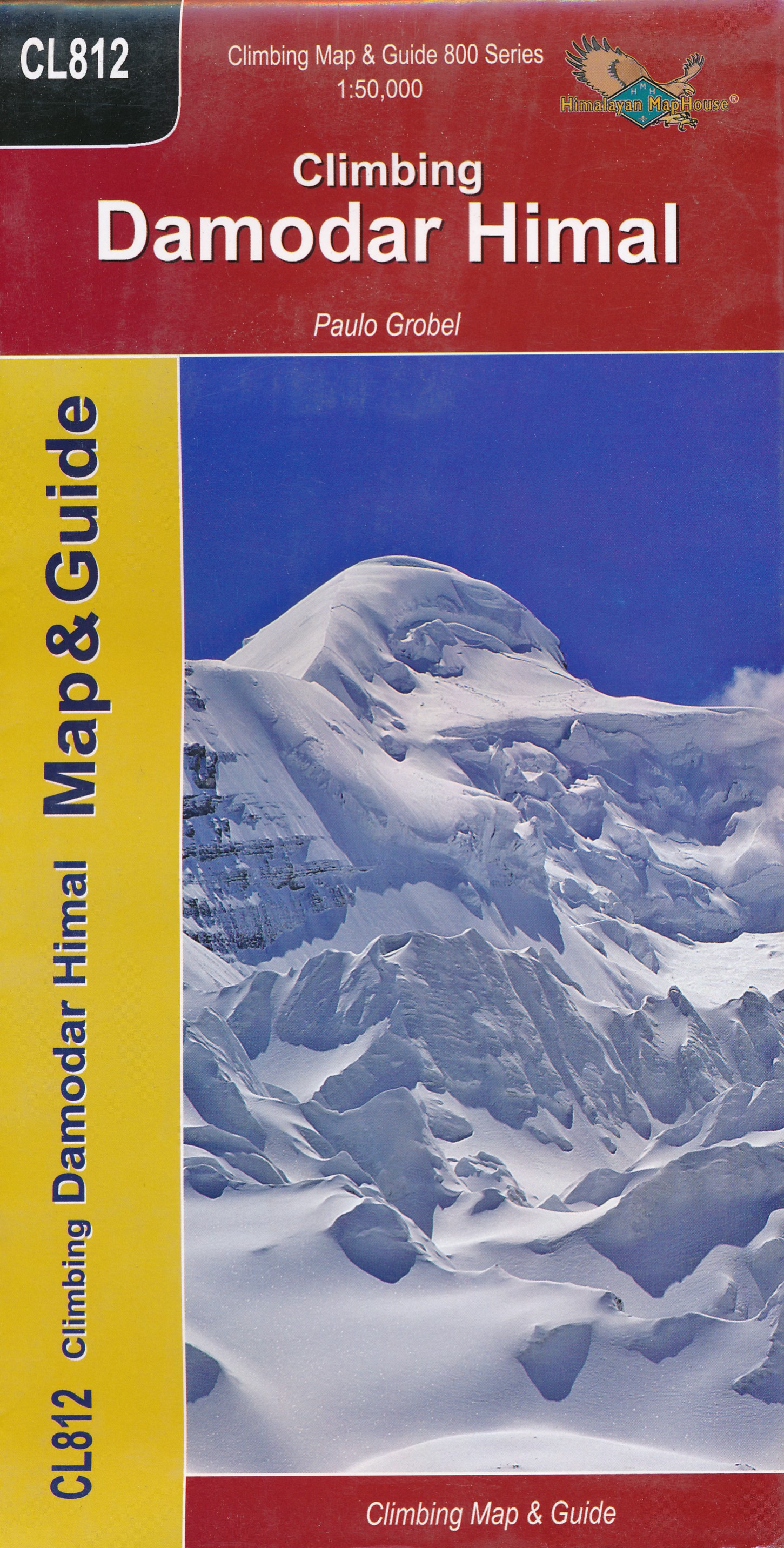
- Damodar Himal
- Damodar Himal on the northern edge of the Annapurna Conservation area presented by Nepa Maps at 1:50,000 on a map extending from Phu northwards to the Gaurigi and Bhrikuti peaks and west to Muktinath and Ghiling (Geling). Contours are at 40m intervals, with heights for numerous peaks and colouring for the glaciated areas. The map highlights... Read more
- Also available from:
- De Zwerver, Netherlands
Netherlands
- Wandelkaart CL812 Climbing Damodir Himal - Saribung | Himalayan Maphouse
- Damodar Himal on the northern edge of the Annapurna Conservation area presented by Nepa Maps at 1:50,000 on a map extending from Phu northwards to the Gaurigi and Bhrikuti peaks and west to Muktinath and Ghiling (Geling). Contours are at 40m intervals, with heights for numerous peaks and colouring for the glaciated areas. The map highlights... Read more
Netherlands
- Wandelkaart NP108 Mustang - Nepal | Himalayan Maphouse
- Mustang, map no. 108, at 1:100,000 on a waterproof and tear-resistant trekking map from the Himalayan MapHouse in their series covering the whole of northern Nepal. The map shows the region north of the upper section of the Annapurna Circuit, beyond Jomsom/Jomosom and Muktinath, and highlights the route to Garphu, the Mustang to Phu trek, the... Read more
Netherlands
2019
- Wandelkaart NA504 Trekking map Around Annapurna | Himalayan Maphouse
- The whole of the Annapurna Circuit highlighted on a map at 1:100,000 from Nepa Maps, with alternative variants via the Tilicho Lakes or Naar, treks to the Machhapuchhre and South Annapurna Base Camps, climbing routes to the Chulu Peaks, Pisang Peak and Singu Chuli (Fluted Peak), etc. Coverage extends from Pohkara to Muktinath and Kagbeni in the... Read more

United Kingdom
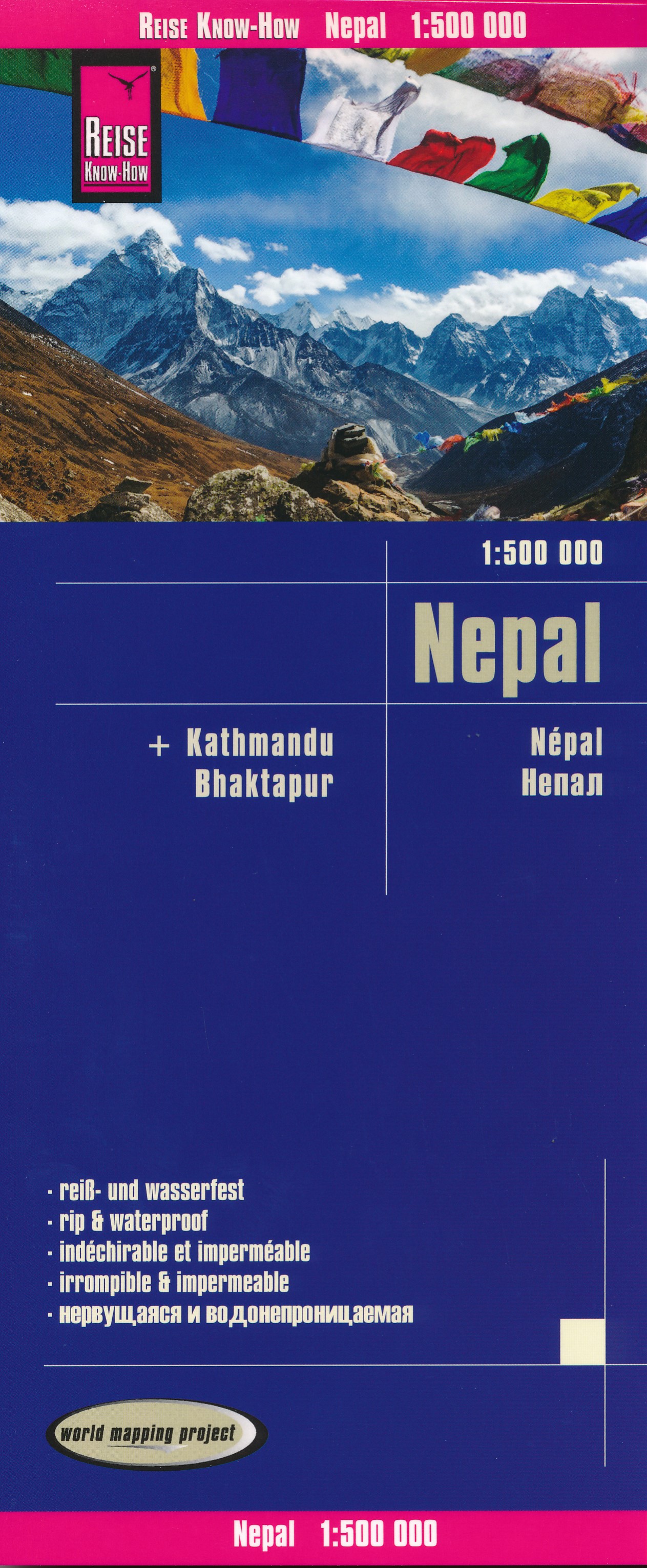
- Nepal Reise Know-How
- Nepal on an indexed, waterproof and tear-resistant road map, ideal for locating the country`s numerous famous peaks, with topographic and tourist information, and enlargements for Kathmandu, Pokhara, and Chitwan regions, plus Bhaktapur. The map, published by Reise Know-How as part of their highly acclaimed World Mapping Project, is double-sided... Read more
- Also available from:
- De Zwerver, Netherlands
Netherlands
- Wegenkaart - landkaart Nepal | Reise Know-How Verlag
- Nepal on an indexed, waterproof and tear-resistant road map, ideal for locating the country`s numerous famous peaks, with topographic and tourist information, and enlargements for Kathmandu, Pokhara, and Chitwan regions, plus Bhaktapur. The map, published by Reise Know-How as part of their highly acclaimed World Mapping Project, is double-sided... Read more

United Kingdom
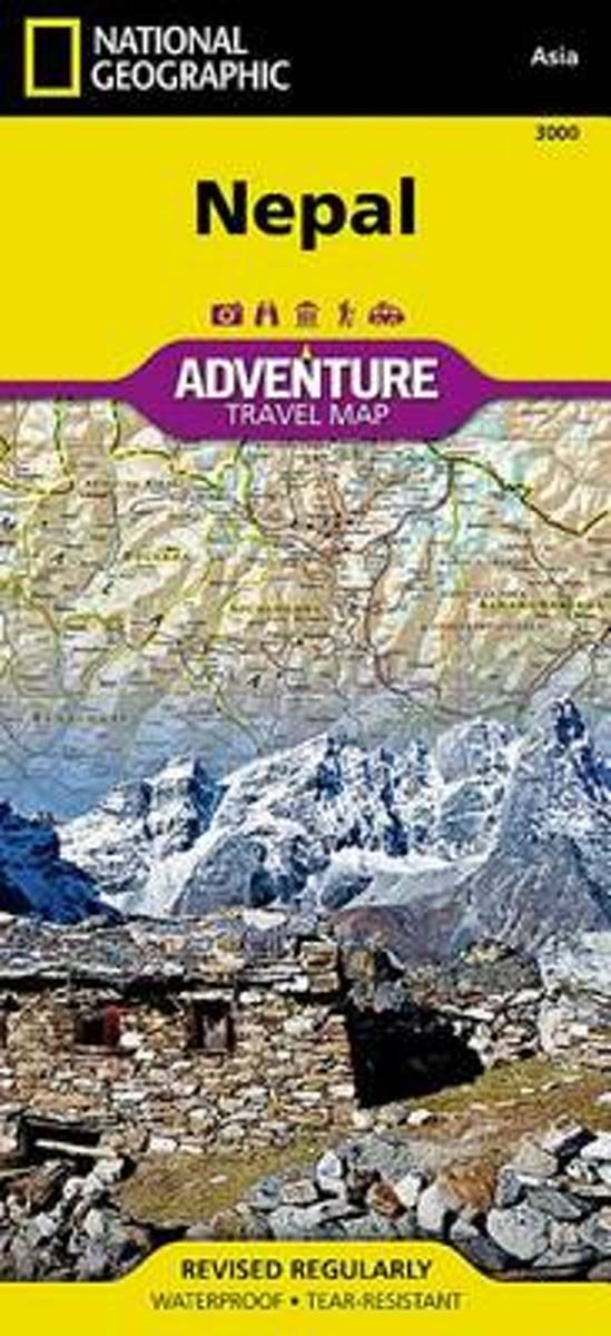
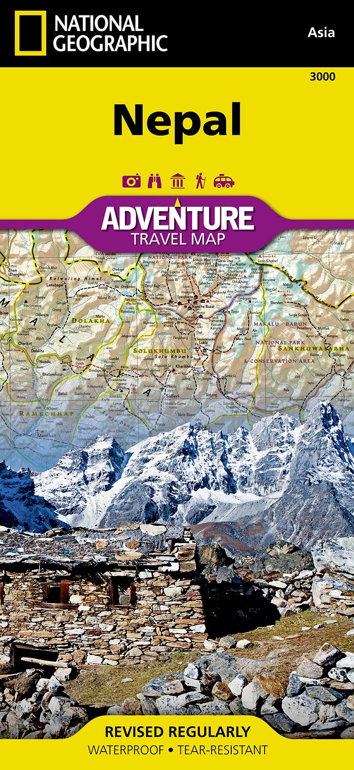
- Nepal Adventure Map
- Nepal Adventure Map from the National Geographic presenting the country at 1:625,000 on light, waterproof and tear-resistant synthetic paper, with a large panel showing the main sights and facilities in the Kathmandu – Patan area.The map is double-sided, dividing the country east/west with a good overlap between the sides. Topography is... Read more
- Also available from:
- Bol.com, Netherlands
- Bol.com, Belgium
- De Zwerver, Netherlands
Netherlands
- Nepal
- Waterproof Tear-Resistant Travel MapNational Geographic's Nepal AdventureMap is the most authoritative map for touring the country. Each waterproof and tear-resistant map provides travelers with the perfect combination of detail and perspective, highlighting points of interest for those venturing outside city centers.This durable, folded... Read more
Belgium
- Nepal
- Waterproof Tear-Resistant Travel MapNational Geographic's Nepal AdventureMap is the most authoritative map for touring the country. Each waterproof and tear-resistant map provides travelers with the perfect combination of detail and perspective, highlighting points of interest for those venturing outside city centers.This durable, folded... Read more
Netherlands
- Wegenkaart - landkaart 3000 Adventure Map Nepal | National Geographic
- Nepal Adventure Map from the National Geographic presenting the country at 1:625,000 on light, waterproof and tear-resistant synthetic paper, with a large panel showing the main sights and facilities in the Kathmandu – Patan area.The map is double-sided, dividing the country east/west with a good overlap between the sides. Topography is... Read more

United Kingdom
2020
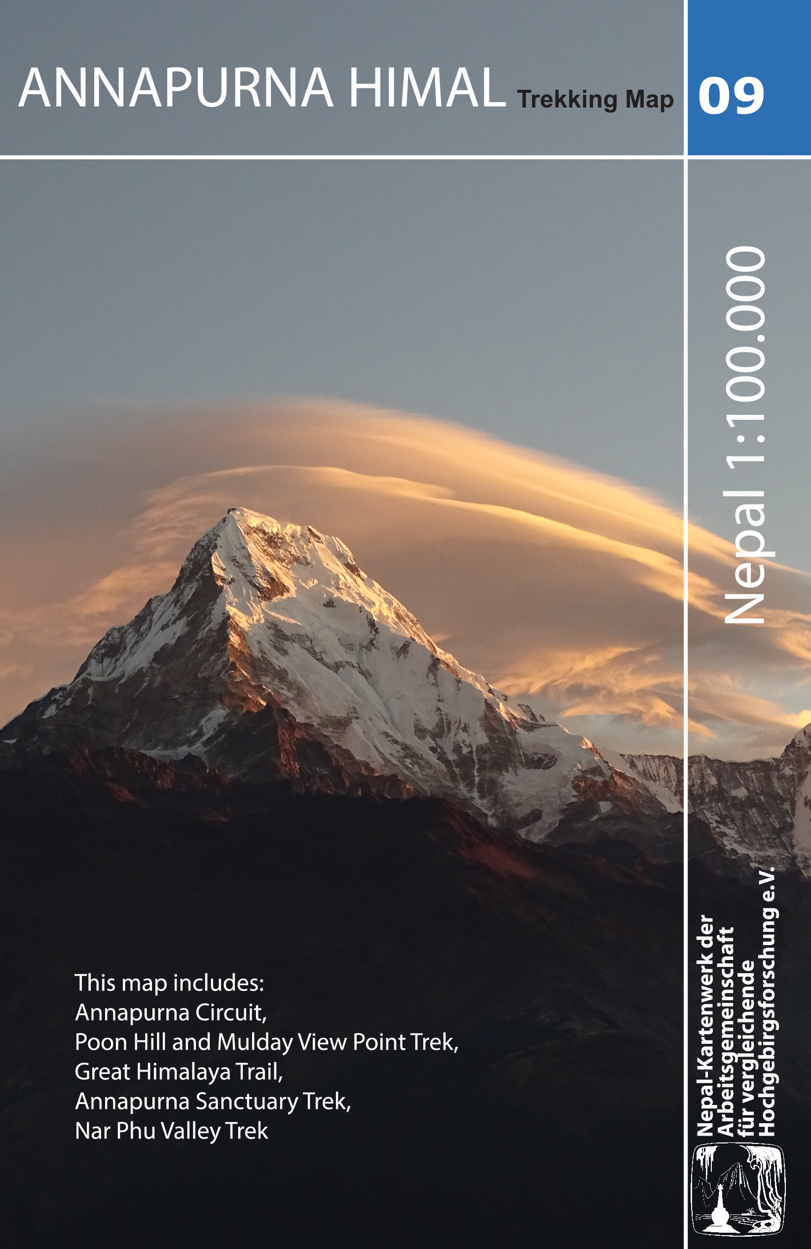
- Annapurna Himal
- Annapurna region at 1:100,000 in a series of detailed topographic maps of selected trekking areas of Nepal originally prepared by E. Schneider and now edited by the German Scientific Association of Comparative High-Mountain Research (Arbeitsgemeinschaft für vergleichende Hochgebirgsforschung). The map covers the whole of the Annapurna Circuit,... Read more
- Also available from:
- De Zwerver, Netherlands