Qatar
Description

Jutting out from the large Arabian Peninsula into the Persian Gulf is the small emirate peninsula of Qatar. It only measures some 160 km from north to south, and consists of a mostly low hot sandy desert plain. There is one low limestone range called Jebel Dukhan, in the southwest of Qatar. Highest point is Qurayn Abu al Bawl (103 m).
Qatar's climate is not too well suited to hikers. Summers are scorching and humid. Winter is just a bit cooler with the occasional shower. As a result, "dune bashing" by 4WD or quad appears to be a much more popular local passtime for the outdoors. Still, check out the website of the Qatar Natural Heritage Group for some rambling ideas during the winter months. And enjoy the video reports by Chris Vassbotn of his 2-day coast-to-coast hikes across Qatar.
Links
Facts
Reports
Guides and maps
Lodging
Organisations
Tour operators
GPS
Other
Books

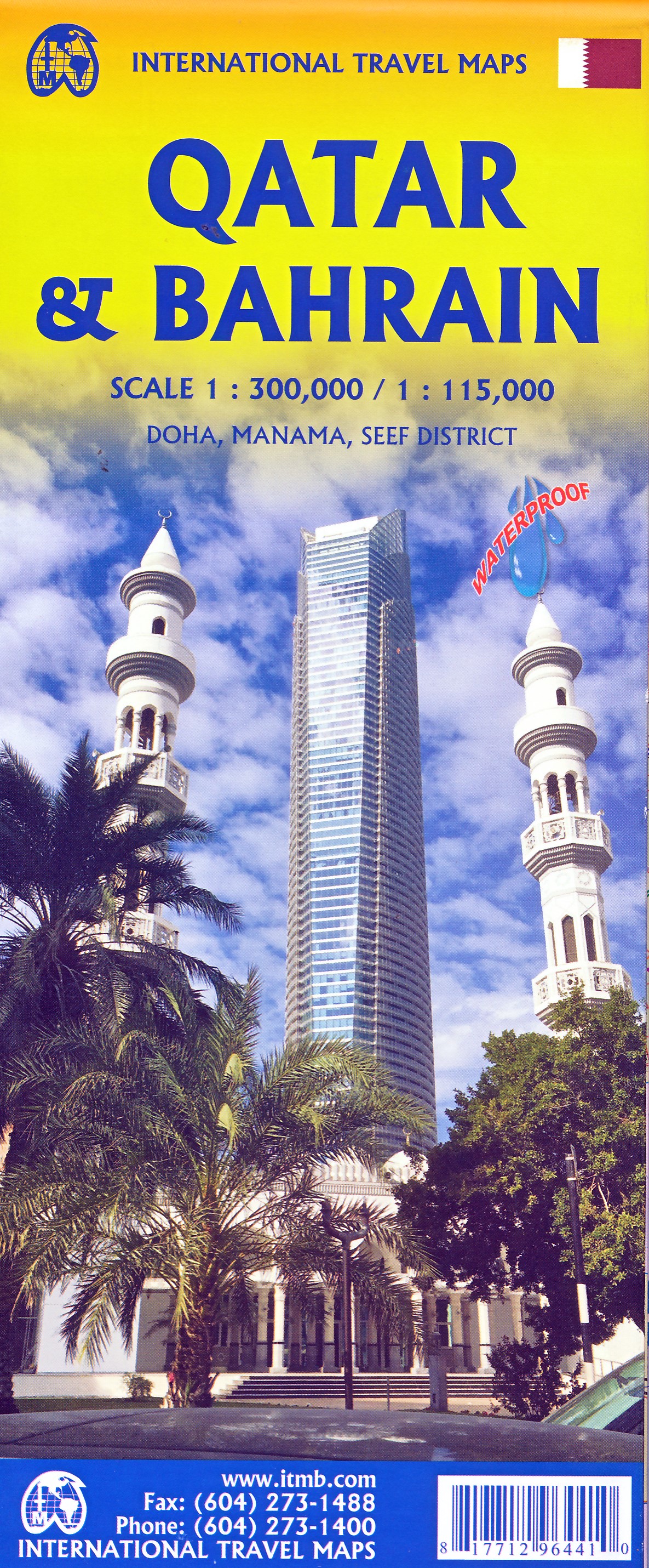
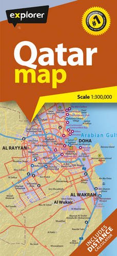
Maps
Netherlands
2017
- Wegenkaart - landkaart Qatar Country Map | Explorer Group Ltd
- Double-sided, GPS-compatible map from the Dubai-based Explorer Publishing, presenting on one side a road map of Qatar at 1:300,000 with on the reverse a street plan of Doha at 1:25,000, with a combined index plus a distance table. All place names are in the Latin alphabet only. On one side is a road map of Qatar, showing the country’s road... Read more