Voralpenweg - 4
Description
- Name Voralpenweg - 4 (WWW04)
- Length of trail 501 km, 311 miles
- Length in days 28 days
- Start of trail Vienna
- End of trail Bad Reichenhall
- Traildino grading MW, Moderate walk, backpacking trail
- Hut tour grading T1, Walk


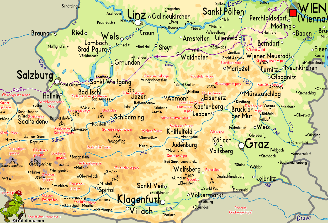
Voralpenweg, Weitwanderweg 4, Vienna - Bad Reichenhall, 501 km
This beautiful route through a pitturesque part of the Alps is not hard or difficult, and therefore suitable for children. All in all, it's obviously a very long trail - 500 km from Vienna to the border with Germany - and a good condition is certainly necessary. Some parts also require a good footedness. The path never mounts above 2000 m.
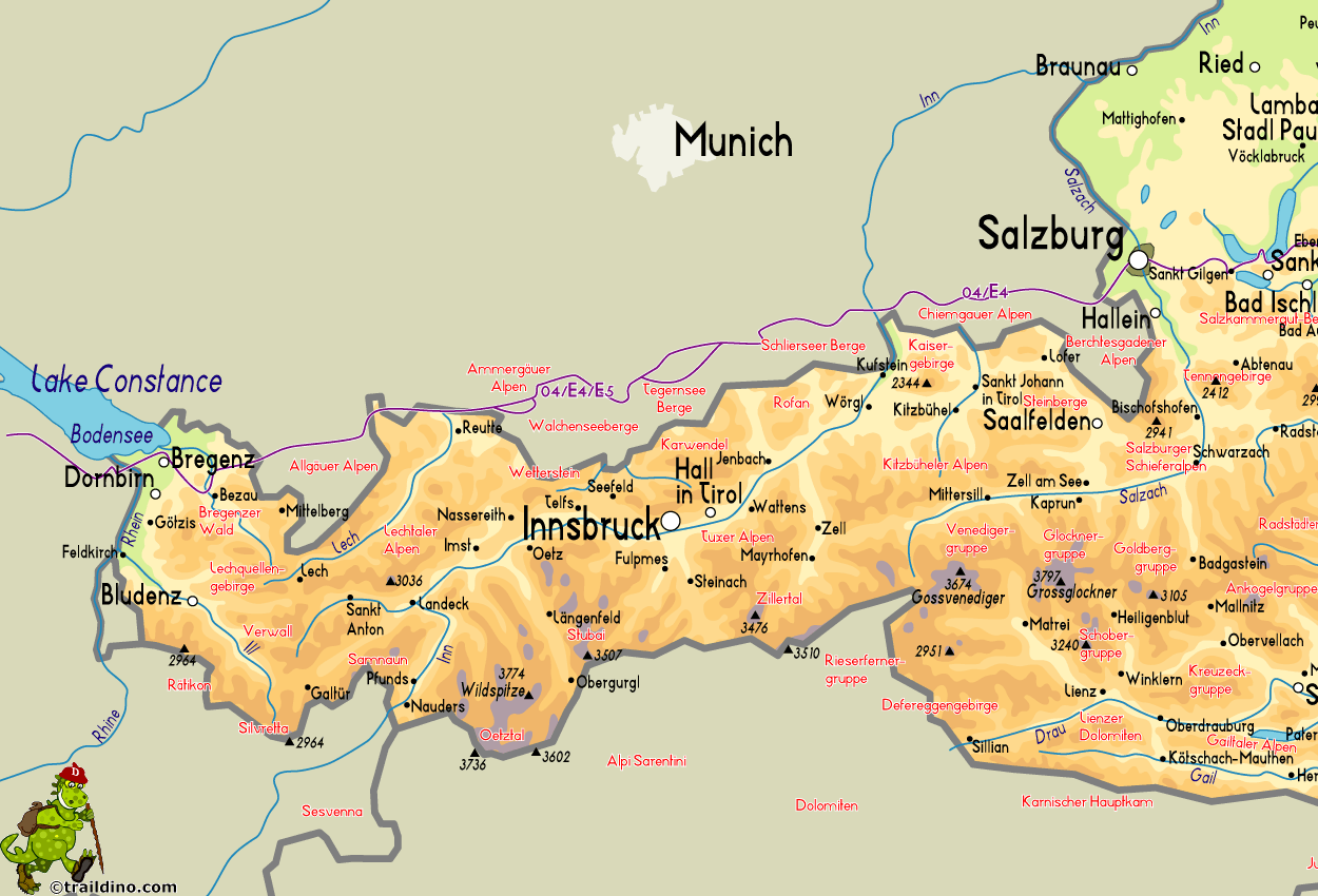
From East to West, the path starts in the Vienna Woods – Wienerwald - in two variants. Then the trail enters the Ybbstal, Ennstal and and Steyrtal, popular mountain areas in Austria. Finally one arrives at the Berchtesgaden Alps, Bad Reichenhall.
The Voralpenweg actually ends here. But you can continue west, through the German Prealps. This trail is called the Maximiliansweg, so to say the German Voralpenweg, another 370 km. The trail passes through the Chiemgau Alps, Bayerische Voralpen, Ammergau Alps, Allgäu Alps, and finally you re-enter Austria, the mountains of the Bregenzer Wald.
The Austrian Voralpenweg 4 largely coincides with the E4 and in Germany also with the northern branch of the Via Alpina.
Map
Links
Facts
Reports
Guides and maps
Lodging
Organisations
Tour operators
GPS
Other
Maps

United Kingdom
- Adelboden - Lenk
- Adelboden - Lenk area of the western Bernese Oberland, from Gstaad to Frutigen and Leukerbad at 1:50,000 in a series from Hallwag covering Switzerland’s popular hiking regions on light, waterproof and tear-resistant maps highlighting long-distance paths: the nine national routes plus special regional routes, as well as other local hiking... Read more

United Kingdom
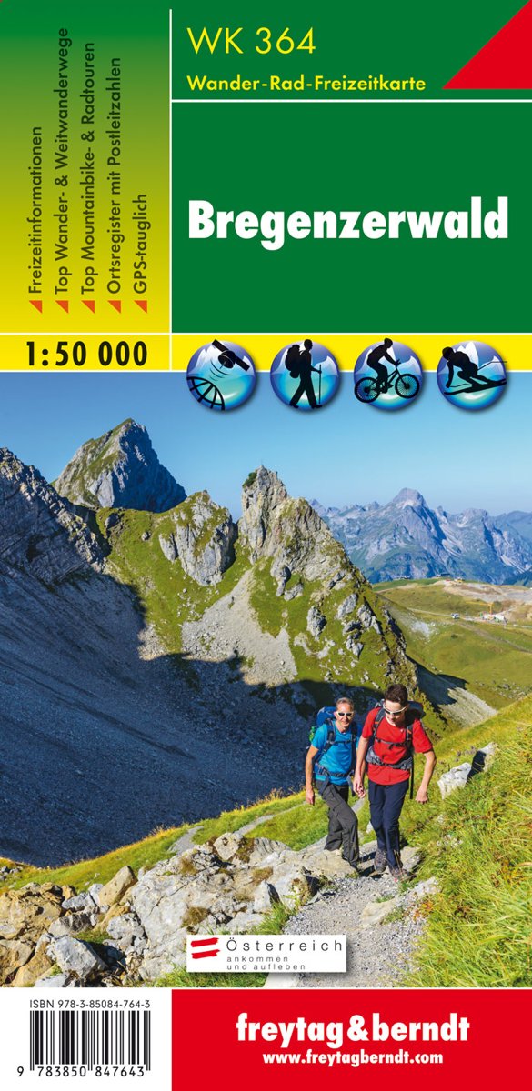
- Bregenz Forest F&B WK364
- Bregenz - Bregenzerwald area of the Austrian Alps presented at 1:50,000 in a series of contoured and GPS compatible outdoor leisure map from Freytag & Berndt with hiking and cycling routes, mountain huts, campsites and youth hostels, local bus stops, plus other tourist information. To see the list of currently available titles in this series... Read more
- Also available from:
- The Book Depository, United Kingdom
- Bol.com, Netherlands
- Bol.com, Belgium

United Kingdom
- Bregenz Forest Hiking + Leisure Map 1:50 000
- Bregenz - Bregenzerwald area of the Austrian Alps presented at 1:50,000 in a series of contoured and GPS compatible outdoor leisure map from Freytag & Berndt with hiking and cycling routes, mountain huts, campsites and youth hostels, local bus stops, plus other tourist information. To see the list of currently available titles in this series... Read more

Netherlands
- FB WK364 Bregenzerwald
- Aufgrund der übersichtlichen und detailgetreuen, digitalen Kartographie sowie der ideal gewählten Maßstäbe sind freytag & berndt Wanderkarten der perfekte Begleiter beim Wandern und Bergsteigen. Sie werden regelmäßig überarbeitet und enthalten aktualisierte Informationen zu Wanderwegen, Rad- und Mountainbikestrecken, Hütten, Naturdenkmälern,... Read more

Belgium
- FB WK364 Bregenzerwald
- Aufgrund der übersichtlichen und detailgetreuen, digitalen Kartographie sowie der ideal gewählten Maßstäbe sind freytag & berndt Wanderkarten der perfekte Begleiter beim Wandern und Bergsteigen. Sie werden regelmäßig überarbeitet und enthalten aktualisierte Informationen zu Wanderwegen, Rad- und Mountainbikestrecken, Hütten, Naturdenkmälern,... Read more


