
Gailtaler Alpen
Description

South of the Hohe Tauern, east of Villach, lies the small mountain range Gailtaler the Alps. The area is a bit insignificant if compared to the Lienzer Dolomiten bordering to it. A well known spot in this area is the Weissensee. Popular, but not easy, is the Reisskofel (2.371 m). Why travel to this relatively unknown area, if there's much more wild scenery in the neighbouring mountains? The rich flora could be a good reason for you. And of course the quietude, because most walkers just ignore the area.
Map

Trails in this region
Links
Facts
Reports
Guides and maps
Lodging
Organisations
Tour operators
GPS
Other
Books
Bol.com
Netherlands
2012
Netherlands
2012
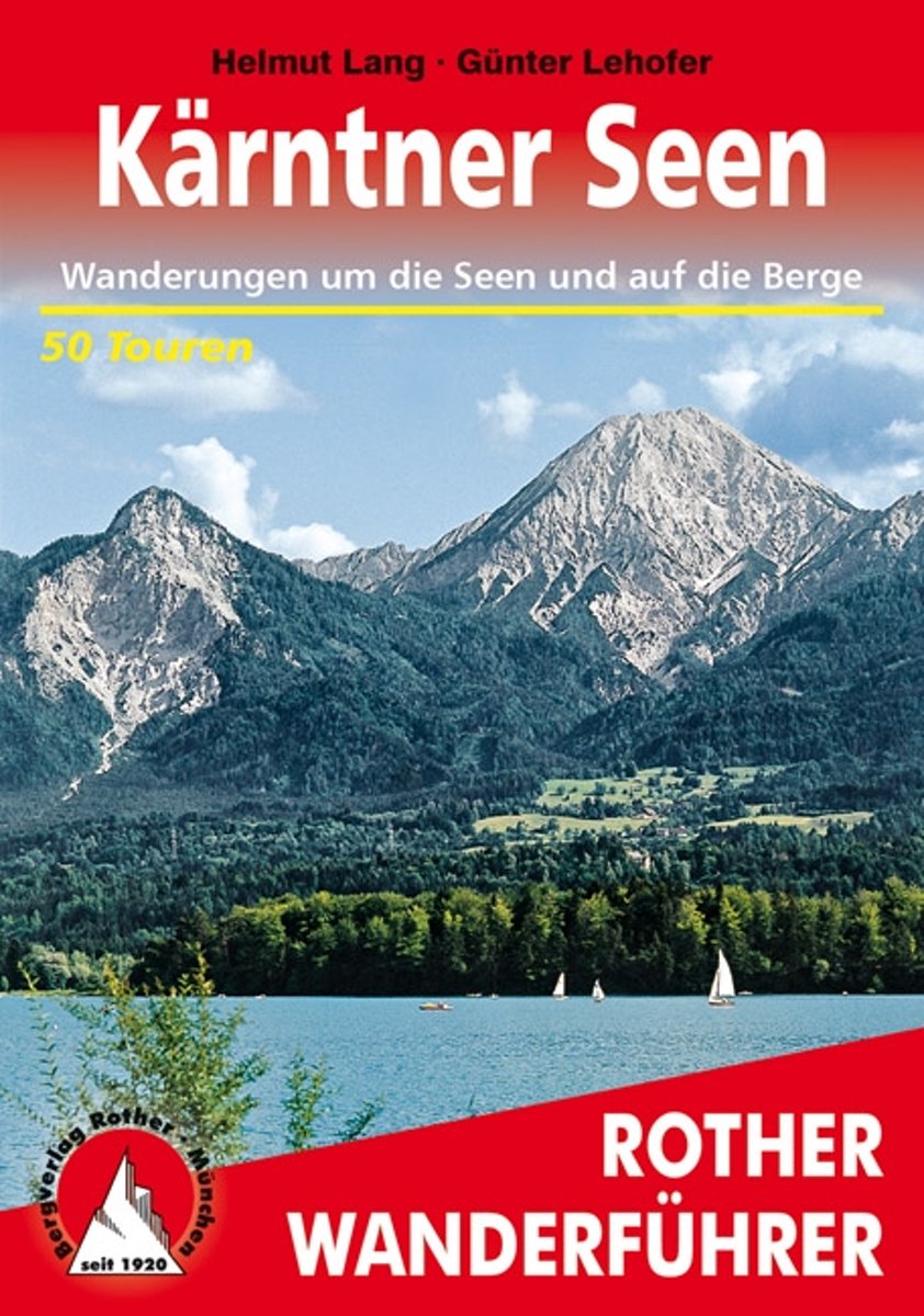
- Wanderungen Rund Um Die Karntner Seen
- Weit ber 1000 Seen dazu bewaldete H gel, runde Grasberge, steile Felsflanken und die Eisgipfel der Hohen Tauern! Kein Wunder, dass K rnten zu den beliebtesten Urlaubsgebieten der Alpen geh rt. Dank des sonnenverw hnten Klimas erreichen die Seen oftmals Badetemperatur, optimal, um einen kombinierten Wander- und Badeurlaub zu verbringen. Der... Read more
- Also available from:
- Bol.com, Belgium
Bol.com
Belgium
2012
Belgium
2012
- Wanderungen Rund Um Die Karntner Seen
- Weit ber 1000 Seen dazu bewaldete H gel, runde Grasberge, steile Felsflanken und die Eisgipfel der Hohen Tauern! Kein Wunder, dass K rnten zu den beliebtesten Urlaubsgebieten der Alpen geh rt. Dank des sonnenverw hnten Klimas erreichen die Seen oftmals Badetemperatur, optimal, um einen kombinierten Wander- und Badeurlaub zu verbringen. Der... Read more
Bol.com
Netherlands
Netherlands
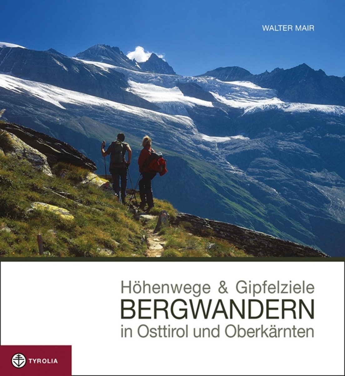
- Höhenwege & Gipfelziele - Bergwandern in Osttirol und Oberkärnten
- Dieses neue Bild-Wanderbuch pr sentiert die sch nsten H henwege und Gipfelziele der vielf ltigen Bergwelt Osttirols und Oberk rntens. Die reich bebilderten Tourenvorschl ge zu jeder Region werden dabei so pr sentiert, dass sie einen gr tm glichen Einblick in den Routenverlauf der vorgestellten Tour erlauben. Ideal also zum Vor- und... Read more
- Also available from:
- Bol.com, Belgium
Bol.com
Belgium
Belgium
- Höhenwege & Gipfelziele - Bergwandern in Osttirol und Oberkärnten
- Dieses neue Bild-Wanderbuch pr sentiert die sch nsten H henwege und Gipfelziele der vielf ltigen Bergwelt Osttirols und Oberk rntens. Die reich bebilderten Tourenvorschl ge zu jeder Region werden dabei so pr sentiert, dass sie einen gr tm glichen Einblick in den Routenverlauf der vorgestellten Tour erlauben. Ideal also zum Vor- und... Read more
De Zwerver
Netherlands
2020
Netherlands
2020
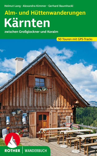
- Wandelgids Kärnten - Karinthië Alm- und Hüttenwanderungen | Rother Bergverlag
- 51 Touren zwischen Großglockner und Koralm. Mit GPS-Tracks. Read more
Maps

Stanfords
United Kingdom
United Kingdom
- Faaker See - Ossiacher See - Villach - Dreiländereck - Unteres Gailtal F&B WK224
- Faaker See - Ossiacher See - Villach - Dreiländereck - Unteres Gailtal area of Carinthia presented at 1:50,000 in a series of contoured and GPS compatible outdoor leisure map from Freytag & Berndt with hiking and cycling routes, mountain huts, campsites and youth hostels, local bus stops, plus other tourist information.To see the list of... Read more

Stanfords
United Kingdom
United Kingdom
- Ebermannstadt E10
- Ebermannstadt in a series of GPS compatible recreational editions of the Bavarian topographic survey at 1:25,000, with waymarked hiking trails and cycling routes, campsites and youth hostels, etc. Coverage includes Gößweinstein, Waischenfeld, Wiesenttal, Pottenstein, Pretzfeld, Heiligenstadt i.OFr.Contours used in this map vary between 5 to 20m... Read more

Stanfords
United Kingdom
United Kingdom
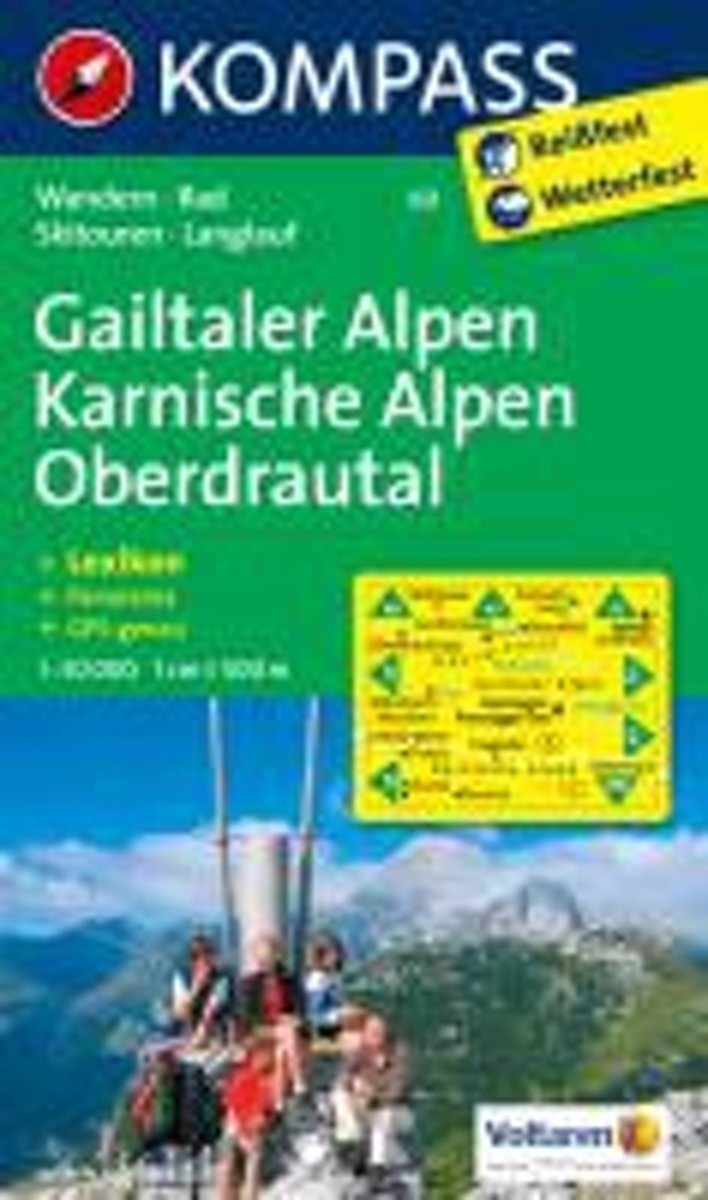
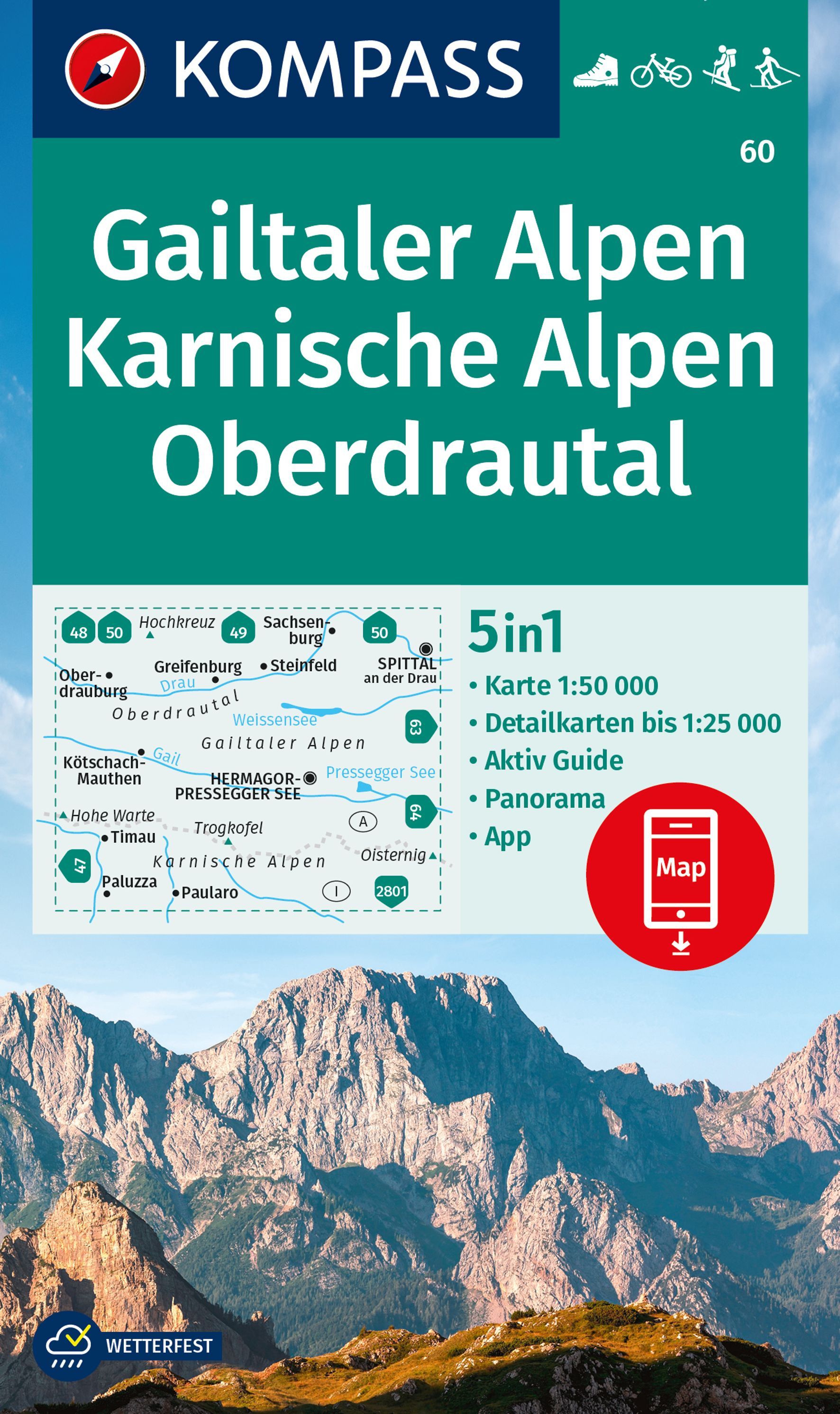
- Gailtal Alps - Carnic Alps - Oberdrautal Kompass 60
- Gailtaler Alpen - Karnische Alpen - Oberdrautal (No. 60), a detailed, GPS compatible map at 1:50,000 from Kompass with local and long-distance footpaths, cycling routes, accommodation, etc, printed on durable, waterproof and tear-resistant synthetic paper. This title has on the reverse an additional panorama map of the region.KOMPASS HIKING &... Read more

Stanfords
United Kingdom
United Kingdom
- Carinthian Alps - Gailtal - Gitschtal - Nassfeld - Lesachtal - Weissensee - Upper Drautal F&B WK223
- Naturarena Kärnten - Gailtal - Gitschtal -Lesachtal - Weissensee - Oberes Drautal area of Carinthia presented at 1:50,000 in a series of contoured and GPS compatible outdoor leisure map from Freytag & Berndt with hiking and cycling routes, mountain huts, campsites and youth hostels, local bus stops, plus other tourist information.To see the... Read more
- Also available from:
- The Book Depository, United Kingdom

The Book Depository
United Kingdom
United Kingdom
De Zwerver
Netherlands
2022
Netherlands
2022
Bol.com
Netherlands
Netherlands
- Gailtaler Alpen, Karnische Alpen, Oberdrautal WK60
- Deze Kompass wandelkaart, schaal 1:50 000, is ideaal om uw route uit te stippelen en om onderweg te gebruiken • naast de bekende bestemmingen, worden ook de minder bekende vermeld • openbaar vervoer bij begin- of eindpunt van een route aangegeven • eenvoudige wandelingen tot pittige (berg)tochten, voor getrainde en ongetrainde wandelaars • met... Read more
- Also available from:
- Bol.com, Belgium
Bol.com
Belgium
Belgium
- Gailtaler Alpen, Karnische Alpen, Oberdrautal WK60
- Deze Kompass wandelkaart, schaal 1:50 000, is ideaal om uw route uit te stippelen en om onderweg te gebruiken • naast de bekende bestemmingen, worden ook de minder bekende vermeld • openbaar vervoer bij begin- of eindpunt van een route aangegeven • eenvoudige wandelingen tot pittige (berg)tochten, voor getrainde en ongetrainde wandelaars • met... Read more
De Zwerver
Netherlands
Netherlands
De Zwerver
Netherlands
2022
Netherlands
2022