
Gurktaler Alpen
Description

This mountain area is located south of the Niedere Tauern and north of Villach. It is a fairly large area, in winter easily accessible for skiers. The western range hosts the National Park Nockberge, a successful attempt to halt the further deterioration of the area. Hikers do favor these lovely and low-key (as compared to the Tauern) mountains. A favorite destination is the Grosse Königstuhl (2.336 m), which offers a beautiful view over the surrounding area. The highest mountain is in fact the Eisenhut (2.441 m).
Map

Trails in this region
Links
Facts
Reports
Guides and maps
Lodging
Organisations
Tour operators
GPS
Other
Books

De Zwerver
Netherlands
2008
Netherlands
2008
- Wandelgids Arnoweg - Der Salzburger Rundwanderweg | Rother Bergverlag
- Dieser gemeinsam mit dem Tourismusverband SalzburgerLand herausgegebene Wanderführer beschreibt detailliert alle Etappen des erst 1999 aus der Taufe gehobenen Arnowegs. Anlaß für die Errichtung dieses Weitwanderwegs war das 1200jährige Jubiläum der Erzdiözese Salzburg, 798 nämlich wurde Bischof Arno zum Erzbischof dieser großen Kirchenprovinz... Read more
Maps

Stanfords
United Kingdom
United Kingdom
- Central Carinthia - Gurktal Alps - Friesach - Feldkirchen - St. Veit an der Glan F&B WK231
- Hemmaland - Gurktal - Metnitztal - St. Veit a.d. Glan - Feldkirchen area of the Austrian Alps presented at 1:50,000 in a series of contoured and GPS compatible outdoor leisure map from Freytag & Berndt with hiking and cycling routes, mountain huts, campsites and youth hostels, local bus stops, plus other tourist information.To see the list of... Read more
Bol.com
Netherlands
Netherlands
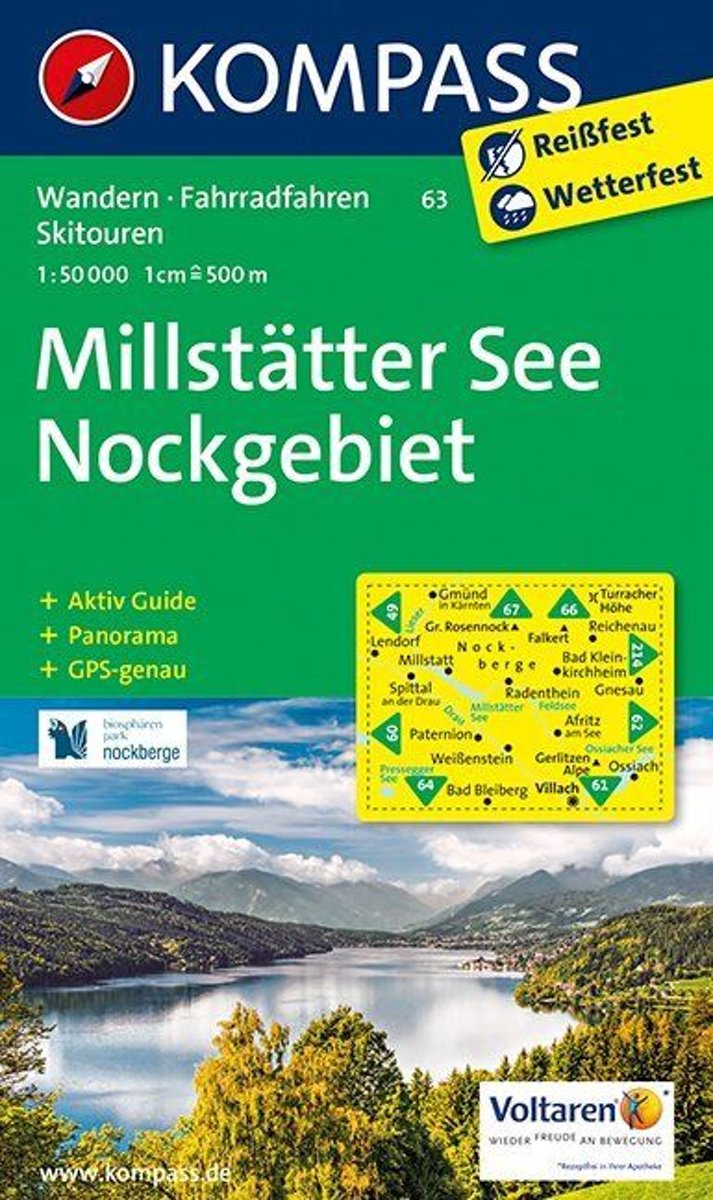
- Millstätter See, Nockgebiet WK63
- Deze Kompass wandelkaart, schaal 1:50 000, is ideaal om uw route uit te stippelen en om onderweg te gebruiken • naast de bekende bestemmingen, worden ook de minder bekende vermeld • openbaar vervoer bij begin- of eindpunt van een route aangegeven • eenvoudige wandelingen tot pittige (berg)tochten, voor getrainde en ongetrainde wandelaars • met... Read more
- Also available from:
- Bol.com, Belgium
Bol.com
Belgium
Belgium
- Millstätter See, Nockgebiet WK63
- Deze Kompass wandelkaart, schaal 1:50 000, is ideaal om uw route uit te stippelen en om onderweg te gebruiken • naast de bekende bestemmingen, worden ook de minder bekende vermeld • openbaar vervoer bij begin- of eindpunt van een route aangegeven • eenvoudige wandelingen tot pittige (berg)tochten, voor getrainde en ongetrainde wandelaars • met... Read more

Stanfords
United Kingdom
United Kingdom
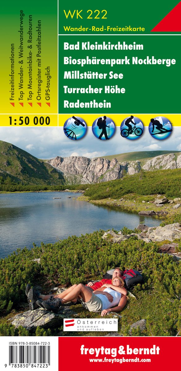
- Bad Kleinkirchheim - Biosphere Park Nockberge - Millstätter See - Turracher Höhe - Radenthein F&B WK222
- Bad Kleinkirchheim - Krems - Radentheim - Reichenau area of the Austrian Alps presented at 1:50,000 in a series of contoured and GPS compatible outdoor leisure map from Freytag & Berndt with hiking and cycling routes, mountain huts, campsites and youth hostels, local bus stops, plus other tourist information.To see the list of currently... Read more
- Also available from:
- Bol.com, Netherlands
- Bol.com, Belgium
Bol.com
Netherlands
Netherlands
- FB WK222 Bad Kleinkirchheim • Nationalpark Nockberge • Millstätter See • Turracher Höhe • Radenthein
- Fiets- en wandelkaart • schaal 1:50 000 • activiteiten gids • plaatsnamenregister met postcodes • fietspaden en mountainbikeroutes • vermelding GPS-punten • met ski- en langlaufroutes Read more
Bol.com
Belgium
Belgium
- FB WK222 Bad Kleinkirchheim • Nationalpark Nockberge • Millstätter See • Turracher Höhe • Radenthein
- Fiets- en wandelkaart • schaal 1:50 000 • activiteiten gids • plaatsnamenregister met postcodes • fietspaden en mountainbikeroutes • vermelding GPS-punten • met ski- en langlaufroutes Read more