
Sengsengebirge
Description
 The Sengsengebirge is part of the Nationalparks Kalkalpen, the limestone Alps in the north of Austria. The group can be characterised as a range of limestone mountains, reaching almost 2.000 meters. The central range is barren dolomite and is embedded in large forests. The central focus for hiking is the Hohe Nock, 1.963 m. Traversing the range is possible but not easy, and will take two to three days.
Map

Trails in this region
Links
Facts
Reports
Guides and maps
Lodging
Organisations
Tour operators
GPS
Other
Books
Bol.com
Netherlands
2014
Netherlands
2014
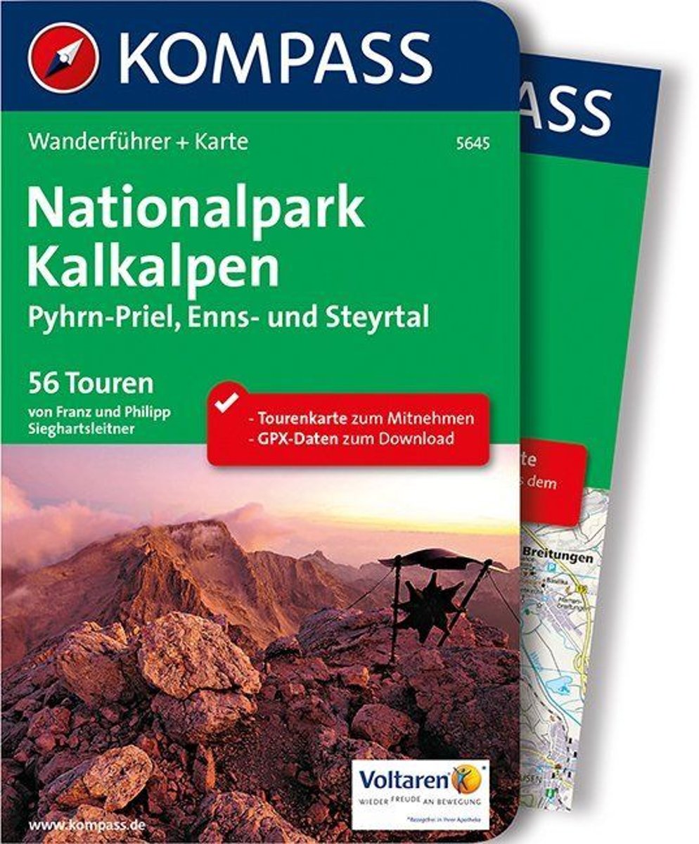
- WF5645 Nationalpark Kalkalpen Kompass
- . Praktische Tourenkarte im Maßstab 1:35000 zum Mitnehmen mit allen eingezeichneten Touren aus dem Wanderführer.. Icons im Farbbalken informieren über Schwierigkeitsgrad, Einkehrmöglichkeit, Kinderfreundlichkeit usw.. Informationen zu Ausgangspunkt, Charakter, Einkehr und Karte sind gleich zu Beginn jeder Tour übersichtlich zusammengefasst..... Read more
- Also available from:
- Bol.com, Belgium
Bol.com
Belgium
2014
Belgium
2014
- WF5645 Nationalpark Kalkalpen Kompass
- . Praktische Tourenkarte im Maßstab 1:35000 zum Mitnehmen mit allen eingezeichneten Touren aus dem Wanderführer.. Icons im Farbbalken informieren über Schwierigkeitsgrad, Einkehrmöglichkeit, Kinderfreundlichkeit usw.. Informationen zu Ausgangspunkt, Charakter, Einkehr und Karte sind gleich zu Beginn jeder Tour übersichtlich zusammengefasst..... Read more
More books…
Maps

Stanfords
United Kingdom
United Kingdom
- Pyhrn-Priel - Grünau - Almtal - Steyral - Kalkalpen National Park - Bad Aussee F&B WK081
- Pyhrn - Priel - Eisenwurzen - Grünau - Almtal - Steyral - Kalkalpen NP area of central Austria presented at 1:50,000 in a series of contoured and GPS compatible outdoor leisure map from Freytag & Berndt with hiking and cycling routes, mountain huts, campsites and youth hostels, local bus stops, plus other tourist information.To see the list of... Read more

Stanfords
United Kingdom
United Kingdom
- Eisenwurzen - Steyr - Waidhofen a.d. Ybbs - Hochkar F&B WK051
- Eisenwurzen - Steyr - Waidhofen a.d. Ybbs – Hochkar area of eastern Austria presented at 1:50,000 in a series of contoured and GPS compatible outdoor leisure map from Freytag & Berndt with hiking and cycling routes, mountain huts, campsites and youth hostels, local bus stops, plus other tourist information.To see the list of currently available... Read more

Stanfords
United Kingdom
United Kingdom
- Adelboden - Lenk
- Adelboden - Lenk area of the western Bernese Oberland, from Gstaad to Frutigen and Leukerbad at 1:50,000 in a series from Hallwag covering Switzerland’s popular hiking regions on light, waterproof and tear-resistant maps highlighting long-distance paths: the nine national routes plus special regional routes, as well as other local hiking... Read more
Bol.com
Netherlands
Netherlands
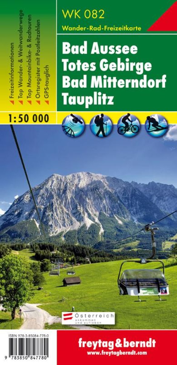
- FB WK082 Bad Aussee • Totes Gebirge • Bad Mitterndorf • Tauplitz
- Aufgrund der ;bersichtlichen und detailgetreuen, digitalen Kartographie sowie der ideal gew;hlten Ma;st;be sind freytag ; berndt Wanderkarten der perfekte Begleiter beim Wandern und Bergsteigen. Sie werden regelm;;ig ;berarbeitet und enthalten aktualisierte Informationen zu Wanderwegen, Rad- und Mountainbikestrecken, H;tten, Naturdenkm;lern,... Read more
- Also available from:
- Bol.com, Belgium
Bol.com
Belgium
Belgium
- FB WK082 Bad Aussee • Totes Gebirge • Bad Mitterndorf • Tauplitz
- Aufgrund der ;bersichtlichen und detailgetreuen, digitalen Kartographie sowie der ideal gew;hlten Ma;st;be sind freytag ; berndt Wanderkarten der perfekte Begleiter beim Wandern und Bergsteigen. Sie werden regelm;;ig ;berarbeitet und enthalten aktualisierte Informationen zu Wanderwegen, Rad- und Mountainbikestrecken, H;tten, Naturdenkm;lern,... Read more

Stanfords
United Kingdom
United Kingdom
- Bregenz Forest F&B WK364
- Bregenz - Bregenzerwald area of the Austrian Alps presented at 1:50,000 in a series of contoured and GPS compatible outdoor leisure map from Freytag & Berndt with hiking and cycling routes, mountain huts, campsites and youth hostels, local bus stops, plus other tourist information. To see the list of currently available titles in this series... Read more
- Also available from:
- The Book Depository, United Kingdom
- Bol.com, Netherlands
- Bol.com, Belgium

The Book Depository
United Kingdom
United Kingdom
- Bregenz Forest Hiking + Leisure Map 1:50 000
- Bregenz - Bregenzerwald area of the Austrian Alps presented at 1:50,000 in a series of contoured and GPS compatible outdoor leisure map from Freytag & Berndt with hiking and cycling routes, mountain huts, campsites and youth hostels, local bus stops, plus other tourist information. To see the list of currently available titles in this series... Read more

Bol.com
Netherlands
Netherlands
- FB WK364 Bregenzerwald
- Aufgrund der übersichtlichen und detailgetreuen, digitalen Kartographie sowie der ideal gewählten Maßstäbe sind freytag & berndt Wanderkarten der perfekte Begleiter beim Wandern und Bergsteigen. Sie werden regelmäßig überarbeitet und enthalten aktualisierte Informationen zu Wanderwegen, Rad- und Mountainbikestrecken, Hütten, Naturdenkmälern,... Read more
Bol.com
Belgium
Belgium
- FB WK364 Bregenzerwald
- Aufgrund der übersichtlichen und detailgetreuen, digitalen Kartographie sowie der ideal gewählten Maßstäbe sind freytag & berndt Wanderkarten der perfekte Begleiter beim Wandern und Bergsteigen. Sie werden regelmäßig überarbeitet und enthalten aktualisierte Informationen zu Wanderwegen, Rad- und Mountainbikestrecken, Hütten, Naturdenkmälern,... Read more

Stanfords
United Kingdom
United Kingdom
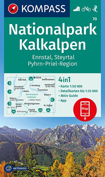
- Kalkalpen NP - Ennstal - Steyrtal - Pyhrn-Priel-Region Kompass 70
- Kalkalpen NP (No. 70), a detailed, GPS compatible map at 1:50,000 from Kompass with local and long-distance footpaths, cycling routes, accommodation, etc, printed on durable, waterproof and tear-resistant synthetic paper.KOMPASS HIKING & RECREATIONAL MAPS:This title is part of an extensive series covering Austria, much of Germany and the... Read more
- Also available from:
- De Zwerver, Netherlands
De Zwerver
Netherlands
Netherlands
- Wandelkaart 70 Nationalpark Kalkalpen | Kompass
- Kalkalpen NP (No. 70), a detailed, GPS compatible map at 1:50,000 from Kompass with local and long-distance footpaths, cycling routes, accommodation, etc, printed on durable, waterproof and tear-resistant synthetic paper.KOMPASS HIKING & RECREATIONAL MAPS:This title is part of an extensive series covering Austria, much of Germany and the... Read more