
Tirol
Description
Bundesland in the west of Austria, with many of the finest hiking and climbing areas of the country. In a broader sense, Tirol is the larger region that also embraces parts of northern Italy.
Trails in this state
- AdlerwegGPX
- Berliner HöhenwegGPX
- E10GPX
- E4GPX
- E5GPX
- Karwendel Höhenweg
- Lasörling HöhenwegGPX
- Lechtaler HöhenwegGPX
- LechwegGPX
- Meraner HöhenwegGPX
- Südalpenweg - 3GPX
- Stubaier HöhenwegGPX
- Tauernhöhenweg
- Tiroler Höhenweg
- Traumpfad München-VenedigGPX
- Venediger HöhenwegGPX
- Verwall Höhenweg
- Via AlpinaGPX
- Voralpenweg - 4GPX
- Zentralalpenweg - 2GPX
Links
Facts
Reports
Guides and maps
Lodging
Organisations
Tour operators
GPS
Other
Books
Stanfords
United Kingdom
United Kingdom
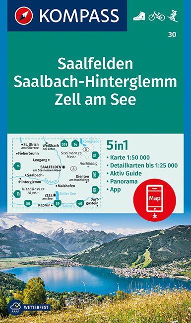
- Saalfelden - Saalbach-Hinterglemm - Zell am See Kompass 30
- Saalfelden - Saalbach - Zell am See (No. 30), a detailed, GPS compatible map at 1:50,000 from Kompass with local and long-distance footpaths, cycling routes, accommodation, etc, printed on durable, waterproof and tear-resistant synthetic paper. This title has on the reverse an additional panorama map of the region.KOMPASS HIKING & RECREATIONAL... Read more

Stanfords
United Kingdom
United Kingdom
- Radstadt - Schladming - Flachau Kompass 31
- Radstadt - Schladming - Flachau area of the Austrian Alps on a detailed, GPS compatible map at 1:50,000 from Kompass with local and long-distance footpaths, cycling routes, accommodation, etc, printed on durable, waterproof and tear-resistant synthetic paper. KOMPASS HIKING & RECREATIONAL MAPS: this title is part of an extensive series covering... Read more

Stanfords
United Kingdom
United Kingdom
- Tannheimer Tal F&B WK5352
- Tannheimer Tal - Füssen - Forchach area of the Austrian and Bavarian Alps presented at 1:35,000 in a series of contoured and GPS compatible outdoor leisure map from Freytag & Berndt with hiking and cycling routes, mountain huts, campsites and youth hostels, local bus stops, plus other tourist information. Cartography is an enlargement of the... Read more

Stanfords
United Kingdom
United Kingdom
- Tyrol Mountain Bike Trail (1000km) Bikeline Atlas
- A 1000-km long mountain bike trail in the very heart of the Austrian Alps in a 172-page German language guide from Verlag Esterbauer. The route, which can be divided into shorter circuits, takes in many of the region’s top tourist destinations including Innsbruck, Kitzbühel, Mayrhofen, Kufstein, Landeck, Ischgl, St. Anton, etc. IMPORTANT -... Read more

Stanfords
United Kingdom
United Kingdom
- Landeck - Nauders - Samnaungruppe Kompass 42
- Landeck - Nauders - Samnaungruppe (No. 42), a detailed, GPS compatible map at 1:50,000 from Kompass with local and long-distance footpaths, cycling routes, accommodation, etc, printed on durable, waterproof and tear-resistant synthetic paper. KOMPASS HIKING & RECREATIONAL MAPS:This title is part of an extensive series covering Austria, much of... Read more

The Book Depository
United Kingdom
2018
United Kingdom
2018
- The Karnischer Hohenweg
- A 1-2 week trek on the Carnic Peace Trail: Austria and Italy Read more
- Also available from:
- De Zwerver, Netherlands

De Zwerver
Netherlands
2018
Netherlands
2018
- Wandelgids Trekking the Karnischer Höhenweg | Cicerone
- English-language guidebook to the Karnischer Höhenweg, a 206km waymarked hut-to-hut trek along the border between Italy and Austria. Also known as the Carnic Peace Trail, it runs west to east along the Ridge of the Carnic Alps, the site of the WW1 front line. With information on planning your trip, accommodation and the history of the area. Read more

The Book Depository
United Kingdom
2018
United Kingdom
2018
- Innsbruck Mountain Adventures
- Summer routes for a multi-activity holiday around the capital of Austria's Tirol Read more
- Also available from:
- De Zwerver, Netherlands

De Zwerver
Netherlands
2018
Netherlands
2018
- Klimgids - Klettersteiggids Innsbruck Mountain Adventures | Cicerone
- Summer routes for a multi-activity holiday around the capital of Austria's Tirol Read more

Bol.com
Netherlands
Netherlands
- UAE Rock Climbing
- For the last fifteen years, expatriate climbers have been developing cliffs in the United Arab Emirates and North-West Oman. None of the climbing has previously been documented in print. Though easily accessible by 1-3 hours driving from the ultra-modern Gulf cities - Abu Dhabi and Dubai - the cliffs are located in unique and remote desert and... Read more
- Also available from:
- Bol.com, Belgium
Bol.com
Belgium
Belgium
- UAE Rock Climbing
- For the last fifteen years, expatriate climbers have been developing cliffs in the United Arab Emirates and North-West Oman. None of the climbing has previously been documented in print. Though easily accessible by 1-3 hours driving from the ultra-modern Gulf cities - Abu Dhabi and Dubai - the cliffs are located in unique and remote desert and... Read more

De Zwerver
Netherlands
2011
Netherlands
2011
- Wandelgids Hikeline Rund um die Zugspitze | Esterbauer
- Handzame gids met een goede beschrijving van een groot aantal dagtochten in dit gebied. De gids is in spiraalbinding en elke pagina is op scheur- en watervast papier gedrukt. Daar is echt over nagedacht! Streckencharakteristik Länge, Höhenmeter und Etappen Die insgesamt 50 Touren dieses Buches decken eine große Bandbreite von kurzen... Read more

The Book Depository
United Kingdom
2010
United Kingdom
2010
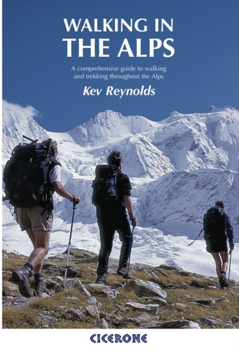
- Walking in the Alps
- A comprehensive guide to walking and trekking throughout the Alps Read more
- Also available from:
- Bol.com, Netherlands
- Bol.com, Belgium
- De Zwerver, Netherlands
Bol.com
Netherlands
2010
Netherlands
2010
- Walking in the Alps
- The second edition of this classic guidebook by Kev Reynolds on walking and trekking in the Alps. This book is a definitive guide to the many thousands of possible routes, with a geographical span that ranges from the Maritime Alps of southern France to the Julians of Slovenia, from Italy's Gran Paradiso to the little-known Turnitzer Alps of... Read more
Bol.com
Belgium
2010
Belgium
2010
- Walking in the Alps
- The second edition of this classic guidebook by Kev Reynolds on walking and trekking in the Alps. This book is a definitive guide to the many thousands of possible routes, with a geographical span that ranges from the Maritime Alps of southern France to the Julians of Slovenia, from Italy's Gran Paradiso to the little-known Turnitzer Alps of... Read more

De Zwerver
Netherlands
2010
Netherlands
2010
- Wandelgids Walking in the Alps | Cicerone
- Second edition of this classic Kev Reynolds guidebook on walking and trekking in the Alps. Suggests many thousands of possible routes, and covers the range from the Maritime Alps of southern France to the Julian Alps of Slovenia. Walks vary from undemanding to long and tough, and everything in between. Read more
Bol.com
Netherlands
2015
Netherlands
2015
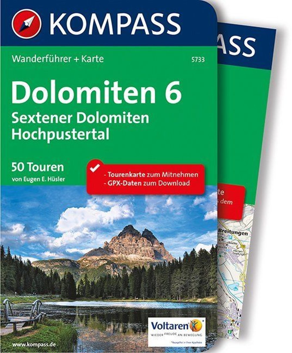
- WF5733 Dolomiten blad 6 Sextner • Hochpustertal Kompass
- Destination:. Die ''Sextener'' erheben sich im Nordosten der Dolomiten zwischen Sextental und Val d'Ansiei; sie grenzen nördlich an den Karnischen Hauptkamm, östlich an die Karnischen Alpen, südlich an die Marmarole und westlich an die Pragser Dolomiten und das Cristallomassiv.. Ihre berühmtesten Gipfel kennt jeder: die Drei Zinnen. Den... Read more
- Also available from:
- Bol.com, Belgium
Bol.com
Belgium
2015
Belgium
2015
- WF5733 Dolomiten blad 6 Sextner • Hochpustertal Kompass
- Destination:. Die ''Sextener'' erheben sich im Nordosten der Dolomiten zwischen Sextental und Val d'Ansiei; sie grenzen nördlich an den Karnischen Hauptkamm, östlich an die Karnischen Alpen, südlich an die Marmarole und westlich an die Pragser Dolomiten und das Cristallomassiv.. Ihre berühmtesten Gipfel kennt jeder: die Drei Zinnen. Den... Read more

De Zwerver
Netherlands
2016
Netherlands
2016
- Wandelgids Tauern-Höhenweg | Rother Bergverlag
- Uitstekende beschrijvingen van deze steeds populairder wordende bergtocht! Met alle noodzakelijke info. Zie voor beschrijving de duitse tekst hieronder ..... Nicht nur im Bann von Großglockner und Großvenediger erstreckt sich auf einer Gesamtlänge von etwa 200 Kilometern der Tauern-Höhenweg, der alle Gebirgsgruppen der Niederen und Hohen Tauern... Read more
De Zwerver
Netherlands
2010
Netherlands
2010
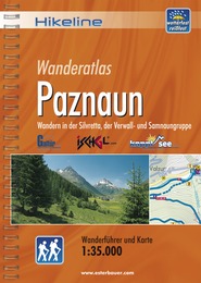
- Wandelgids Hikeline Paznaun | Esterbauer
- Handzame gids met een goede beschrijving van een groot aantal dagtochten in dit gebied. De gids is in spiraalbinding en elke pagina is op scheur- en watervast papier gedrukt. Daar is echt over nagedacht! Streckencharakteristik Länge, Höhenmeter und Anforderungen Die 40 Touren dieses Buches decken eine große Bandbreite von kurzen Spaziergängen... Read more

De Zwerver
Netherlands
2021
Netherlands
2021
- Wandelgids Adlerweg - Adelaarsweg | Rother Bergverlag
- De Rother wandelgidsen beschrijven zeer goed de wandelingen in specifieke gebieden. In de gids vindt men kaarten, routebeschrijvingen en de nodige praktische informatie om van de wandelingen/trekkings een geslaagde onderneming te maken. 31 Höhenprofile; 32 Wanderkärtchen im Maßstab 1:75.000, zwei Übersichtskarten; GPS-Tracks zum Download »Auf... Read more
Maps

Stanfords
United Kingdom
United Kingdom
- Val Brembana - Valsassina - Le Grigne: Lecco - Bergamo 50K IGC Map No. 22
- Val Brembana - Valsassina - Le Grigne area including Lecco and Bergamo in a series contoured hiking maps at 1:50,000 with local trails, long-distance footpaths, mountain accommodation, etc. from the Turin based Istituto Geografico Centrale.Maps in this series have contours at 50m intervals, enhanced by shading and graphic relief. An overprint... Read more

Stanfords
United Kingdom
United Kingdom
- Achensee - Rofan - Unterinntal F&B WK321
- Achensee - Rofan - Unterinntal area of the Austrian Alps north-east of Innsbruck presented at 1:50,000 in a series of contoured and GPS compatible outdoor leisure map from Freytag & Berndt with hiking and cycling routes, mountain huts, campsites and youth hostels, local bus stops, plus other tourist information. To see the list of currently... Read more

Stanfords
United Kingdom
United Kingdom
- Val Venosta / Vinschgau K+F Outdoor Map 1
- Val Venosta / Vinschgau area in the Dolomites at 1:50,000 in a series of waterproof and tear-resistant, GPS compatible and contoured recreational maps from Kümmerly + Frey with both local and long-distance hiking and cycling trails, ski routes, sites for other outdoor pursuits, accommodation, bus stops, etc. Coverage includes the Ortles/Ortler... Read more

Stanfords
United Kingdom
United Kingdom
- Haslital: Grindelwald - Engelberg 50K Hallwag Outdoor Map No. 5
- Haslital area, from Grindelwald to Engelberg, at 1:50,000 in a series from Hallwag covering Switzerland’s popular hiking regions on light, waterproof and tear-resistant maps highlighting long-distance paths: the nine national routes plus special regional routes, as well as other local hiking trails.Cartography is similar to that used both in... Read more

Stanfords
United Kingdom
United Kingdom
- Hungarian National Long-distance Blue Trail (E4): Visegrad to Irott-ko
- Hiking guide to the north-western section of Hungary’s National Blue Trail which forms part of the E4 European long-distance footpath. The guide covers the route from the historic town of Visegrád on the Danube, across the Buda Hills on the outskirts of Budapest and the Bakony Hills along the north-eastern shore of Lake Balaton, to Írott-ko in... Read more

Stanfords
United Kingdom
United Kingdom
- Transrhodopi - Long distance hiking and biking trail From Trigrad to Ivaylovgrad
- Western Rhodope Mountains at 1:100,000 on a contoured GPS compatible map from Domino extending from just west of the Pirin National Park to Asenovgrad in the north-east. The map is double-sided with a good overlap between the sides. Topography is shown by contours at 50m intervals with relief shading and spot heights, plus colouring for... Read more

Stanfords
United Kingdom
United Kingdom
- Cinque Terre - Golfo del Tigullio: La Spezia - Sestri Levante - Rapallo - Genoa 50K IGC Map No. 23
- Cinque Terre - Golfo del Tigullio area of the Italian Riviera from genoa to la Spezia including Sestri Levante and Rapallo in a series contoured hiking maps at 1:50,000 with local trails, long-distance footpaths, mountain accommodation, etc. from the Turin based Istituto Geografico Centrale.Maps in this series have contours at 50m intervals,... Read more
Stanfords
United Kingdom
United Kingdom
- Montreux
- Montreux - Col du Pillon area at 1:50,000 in a series from Hallwag covering Switzerland’s popular hiking regions on light, waterproof and tear-resistant maps highlighting long-distance paths: the nine national routes plus special regional routes, as well as other local hiking trails.Cartography is similar to that used both in Hallwag’s hiking... Read more

Stanfords
United Kingdom
United Kingdom
- Ebermannstadt E10
- Ebermannstadt in a series of GPS compatible recreational editions of the Bavarian topographic survey at 1:25,000, with waymarked hiking trails and cycling routes, campsites and youth hostels, etc. Coverage includes Gößweinstein, Waischenfeld, Wiesenttal, Pottenstein, Pretzfeld, Heiligenstadt i.OFr.Contours used in this map vary between 5 to 20m... Read more

Stanfords
United Kingdom
United Kingdom
- Zillertal Alps - Tux Alps Kompass 37
- Zillertal Alps - Mayrhofen - Zell am Ziller - Tuxer Voralpen (No. 37), a detailed, GPS compatible map at 1:50,000 from Kompass with local and long-distance footpaths, cycling routes, accommodation, etc, printed on durable, waterproof and tear-resistant synthetic paper. KOMPASS HIKING & RECREATIONAL MAPS:This title is part of an extensive series... Read more

Stanfords
United Kingdom
United Kingdom
- Lake Maggiore - Lake Orta - Lake Varese K+F Outdoor Map 8
- Lake Maggiore - Lake Orta - Lake Varese area at 1:50,000 in a series of waterproof and tear-resistant, GPS compatible and contoured recreational maps from Kümmerly + Frey with both local and long-distance hiking and cycling trails, ski routes, sites for other outdoor pursuits, accommodation, bus stops, etc. An inset provides a small road map of... Read more
Stanfords
United Kingdom
United Kingdom
- Defereggental - Villgratental Kompass 45
- Defereggental - Lasörlinggruppe (No. 45), a detailed, GPS compatible map at 1:50,000 from Kompass with local and long-distance footpaths, cycling routes, accommodation, etc, printed on durable, waterproof and tear-resistant synthetic paper. This title has on the reverse an additional panorama map of the region.KOMPASS HIKING & RECREATIONAL... Read more

Stanfords
United Kingdom
United Kingdom
- Zillertal Alps West Alpenverein Map 35/1
- Zillertal Alps West area of the Alps in a hiking edition at 1:25,000 from a series of detailed, GPS compatible maps published by the DAV - Deutscher Alpenverein and produced by the German and Austrian Alpine Clubs using cartography from their respective survey organizations. Maps in this series have topography vividly presented by contours at... Read more

Stanfords
United Kingdom
United Kingdom
- Wetterstein - Mieminger Gebirge East Alpenverein Map 4/3
- Wetterstein - Mieminger Gebirge East area of the Alps in a hiking edition at 1:25,000 from a series of detailed, GPS compatible maps published by the DAV - Deutscher Alpenverein and produced by the German and Austrian Alpine Clubs using cartography from their respective survey organizations. Maps in this series have topography vividly presented... Read more
Stanfords
United Kingdom
United Kingdom
- Kufstein - Walchsee - St. Johann in Tirol Kompass 09
- Kufstein - Walchsee - St.Johann in Tirol area in a detailed, GPS compatible map at 1:25,000 from Kompass with local and long-distance footpaths, cycling routes, accommodation, etc, printed on durable, waterproof and tear-resistant synthetic paper. KOMPASS HIKING & RECREATIONAL MAPS:This title is part of an extensive series covering Austria,... Read more