Adlerweg
Description
- Name Adlerweg
- Length of trail 280 km, 174 miles
- Length in days 31 days
- Start of trail Lech
- End of trail St. Johann
- Traildino grading SW, Strenuous walk, mountain trail
- Hut tour grading T2, Mountain walk
Adlerweg or Eagle Trail, 280 km (main route), 31 days
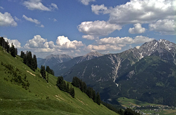
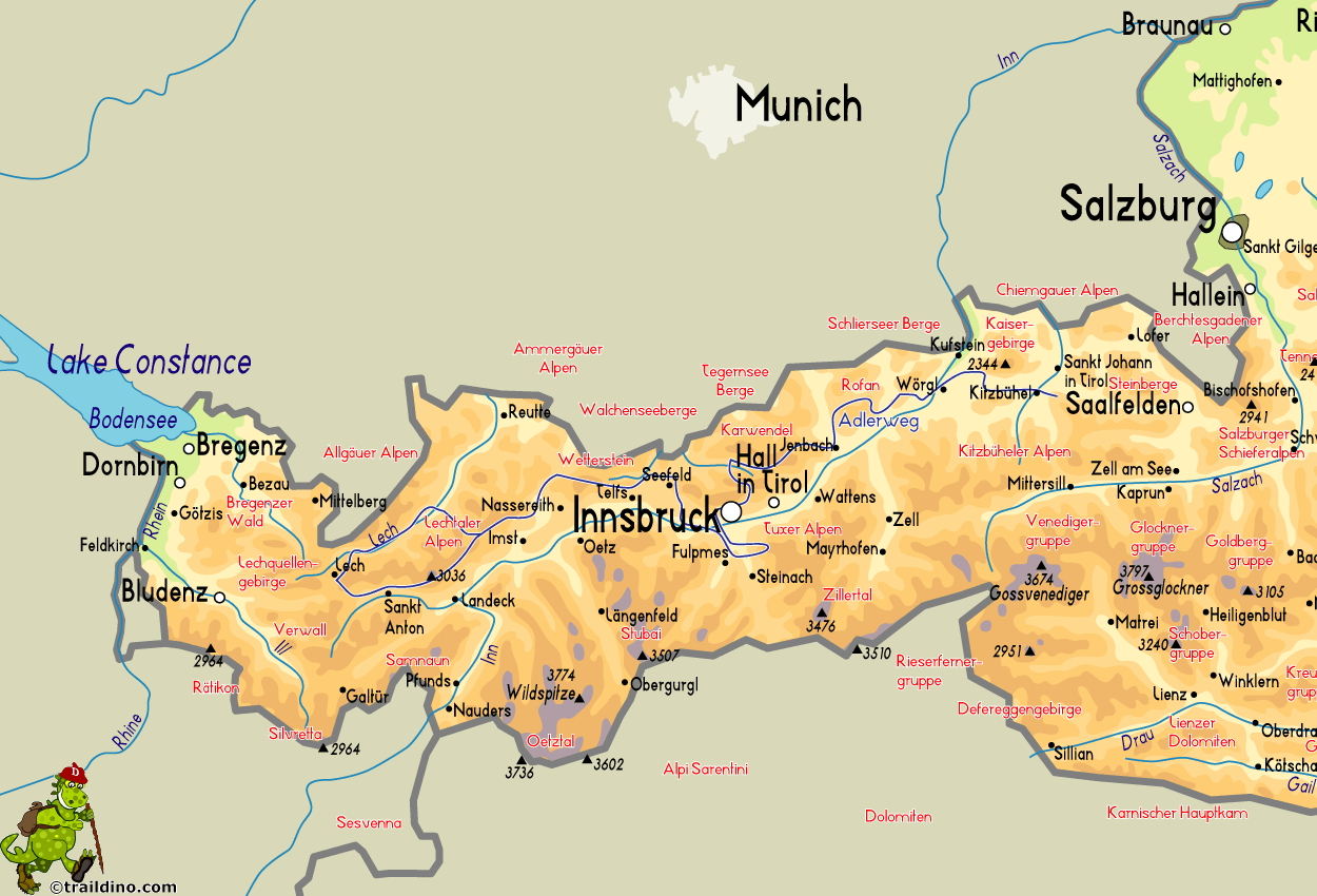
This trail leads you through the entire region of Tirol. You can start in Lech, and walk east, rounding Innsbruck, ending in the village of St. Johann in Tirol. The mountain ranges belong to the Northern Limestone Alps, which makes for spectacular rock formations. Well known are the Lechtaler Alps, the Karwendel and the Wilde Kaiser. Part of the trail is the same as the Nordalpenweg 01 and the European Long Distance Trail E4.
The main route is more or less a teaser for those who want to explore the whole thing. In fact, counting the side valleys and side trails, the Adlerweg is 1280 km long. But then, you will have criss crossed Tirol from border to border, sniffed the snow of the Ötztal, saw the wildness of the Stubai, enjoyed the flowers of the Silvretta.
The trail is safe for fit walkers. Yes, you are in the mountains. No, you are not climbing or crossing glaciers. Using the colours red and black (for the surefooted), some clues to safety are there.
Sleeping in village hotels and mountain huts. Good documentation is available. The trail is marked throughout.
Map
Links
Facts
Reports
Guides and maps
Lodging
Organisations
Tour operators
GPS
Other
Books
Netherlands
2012
- The Adlerweg
- The Adlerweg (or Eagle's Way) is a well maintained and waymarked 300km path traversing the length of the Austrian Tyrol from St Johann in the east to St Anton in the west. It follows established mountain and valley tracks to traverse the length of the Austrian state of Tyrol from east to west. 6 low-level alternative stages and a challenging 8... Read more
- Also available from:
- Bol.com, Belgium

Belgium
2012
- The Adlerweg
- The Adlerweg (or Eagle's Way) is a well maintained and waymarked 300km path traversing the length of the Austrian Tyrol from St Johann in the east to St Anton in the west. It follows established mountain and valley tracks to traverse the length of the Austrian state of Tyrol from east to west. 6 low-level alternative stages and a challenging 8... Read more
Netherlands
2015
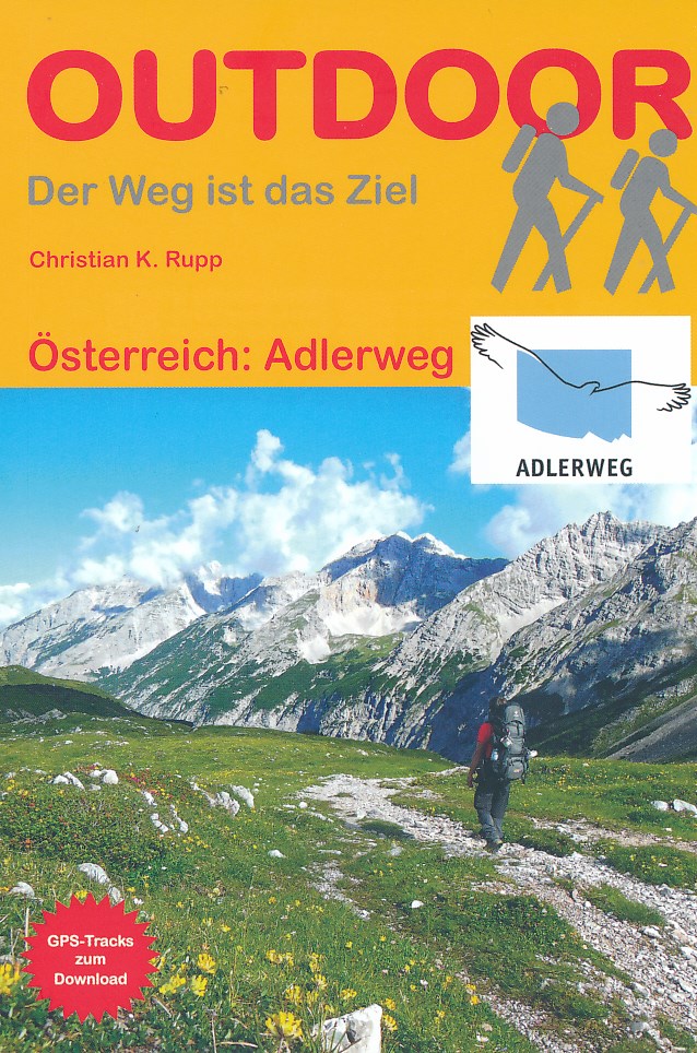
- Wandelgids Österreich: Adlerweg - Oostenrijk | Conrad Stein Verlag
- Handzaam boekje met de routebeschrijving inclusief een heleboel praktische informatie. De beschrijving is uitstekend, maar kaarten zijn beperkt en schetsmatig aanwezig. Duits. Dieses OutdoorHandbuch beschreibt Tirols bekanntesten Fernwanderweg, den 320 km langen Adlerweg zwischen St. Johann i. T. im Osten und der Passhöhe des Arlbergpasses im... Read more
Netherlands
2021
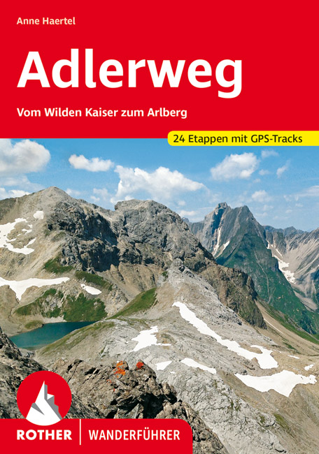
- Wandelgids Adlerweg - Adelaarsweg | Rother Bergverlag
- De Rother wandelgidsen beschrijven zeer goed de wandelingen in specifieke gebieden. In de gids vindt men kaarten, routebeschrijvingen en de nodige praktische informatie om van de wandelingen/trekkings een geslaagde onderneming te maken. 31 Höhenprofile; 32 Wanderkärtchen im Maßstab 1:75.000, zwei Übersichtskarten; GPS-Tracks zum Download »Auf... Read more
Maps

United Kingdom
- Matrei - Deferggen - Virgental F&B WK123
- Matrei - Deferggen - Virgental area of the Austrian Alps presented at 1:50,000 in a series of contoured and GPS compatible outdoor leisure map from Freytag & Berndt with hiking and cycling routes, mountain huts, campsites and youth hostels, local bus stops, plus other tourist information.To see the list of currently available titles in this... Read more
- Also available from:
- The Book Depository, United Kingdom

United Kingdom
- Matrei - Defereggen - Virgental Hiking + Leisure Map 1:50 000
- Matrei - Deferggen - Virgental area of the Austrian Alps presented at 1:50,000 in a series of contoured and GPS compatible outdoor leisure map from Freytag & Berndt with hiking and cycling routes, mountain huts, campsites and youth hostels, local bus stops, plus other tourist information.To see the list of currently available titles in this... Read more

United Kingdom
- Ötztal - Pitztal - Kaunertal - Wildspitze F&B WK251
- Ötztal - Pitztal - Kaunertal - Wildspitze area of the Austrian Alps presented at 1:50,000 in a series of contoured and GPS compatible outdoor leisure map from Freytag & Berndt with hiking and cycling routes, mountain huts, campsites and youth hostels, local bus stops, plus other tourist information.To see the list of currently available titles... Read more
- Also available from:
- The Book Depository, United Kingdom

United Kingdom
- Lechtal Alps - Allgau Alps F&B WK351
- Lechtaler - Allgäuer Alpen - Oberstdorf - Landeck area of the Austrian and Bavarian Alps presented at 1:50,000 in a series of contoured and GPS compatible outdoor leisure map from Freytag & Berndt with hiking and cycling routes, mountain huts, campsites and youth hostels, local bus stops, plus other tourist information. To see the list of... Read more
- Also available from:
- The Book Depository, United Kingdom

United Kingdom
- Kufstein - Kaisergebirge - Kitzbühel F&B WK301
- Kufstein - Kaisergebirge - Kitzbühel - Wörgl - St Johann in Tirol area of the Austrian Alps presented at 1:50,000 in a series of contoured and GPS compatible outdoor leisure map from Freytag & Berndt with hiking and cycling routes, mountain huts, campsites and youth hostels, local bus stops, plus other tourist information. To see the list of... Read more
- Also available from:
- The Book Depository, United Kingdom

United Kingdom
- Innsbruck - Stubai - Sellrain - Brenner F&B WK241
- Innsbruck - Stubai - Sellrain - Brenner area of the Austrian Alps presented at 1:50,000 in a series of contoured and GPS compatible outdoor leisure map from Freytag & Berndt with hiking and cycling routes, mountain huts, campsites and youth hostels, local bus stops, plus other tourist information.To see the list of currently available titles in... Read more
- Also available from:
- Bol.com, Netherlands
- Bol.com, Belgium
- De Zwerver, Netherlands
Netherlands
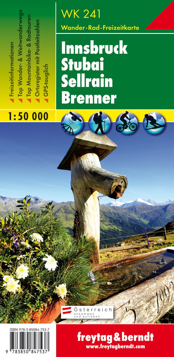
- FB WK241 Innsbruck • Stubai • Sellrain • Brenner
- Fiets- en wandelkaart • schaal 1:50 000 • activiteiten gids • plaatsnamenregister met postcodes • fietspaden en mountainbikeroutes • vermelding GPS-punten • met ski- en langlaufroutes Read more

Belgium
- FB WK241 Innsbruck • Stubai • Sellrain • Brenner
- Fiets- en wandelkaart • schaal 1:50 000 • activiteiten gids • plaatsnamenregister met postcodes • fietspaden en mountainbikeroutes • vermelding GPS-punten • met ski- en langlaufroutes Read more
Netherlands
- Wandelkaart WK241 Innsbrück - Stubai - Sellrain - Brenner | Freytag & Berndt
- Innsbruck - Stubai - Sellrain - Brenner area of the Austrian Alps presented at 1:50,000 in a series of contoured and GPS compatible outdoor leisure map from Freytag & Berndt with hiking and cycling routes, mountain huts, campsites and youth hostels, local bus stops, plus other tourist information.To see the list of currently available titles in... Read more


